Hiking the Trans Swiss Trail – Stage 6 Chézard-St-Martin to Neuchâtel
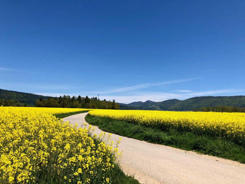
Stage 6 of the Trans Swiss trail is an 11 km long hike with a 200 m ascent and a decent of 560 m. After getting a peek at it last weekend, I knew I wanted to hike it right away. Ending in Neuchâtel, stage 6 starts in Chézard-St-Martin in the Val de Ruz. And, in spring, with its striking patch-work of green grass and bright yellow fields of blooming rapeseed, the Val de Ruz is absolutely beautiful.

| Where: | Chézard-St-Martin to Neuchâtel Canton Neuchâtel, Switzerland |
| Train/Bus: | Zürich HB -> Chézard-St-Martin – 2 hrs 8 min Neuchâtel -> Zürich HB – 1 hr 38 min |
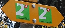
| What: | Trans Swiss Trail – Stage 6 Chézard-St-Martin to Neuchâtel Yellow trail markers – Trans Swiss Trail Route 2 |
| Skill: | Medium – About 3 hrs Length 11 km, Ascent 300 m, Descent 560 m |
| Stage 1 – Porrentruy to St-Ursanne Stage 2 – St-Ursanne to Soubey Stage 3 – Soubey to Saignelégier Stage 4 – Saignelégier to St-Imier Stage 5 – St-Imier to Chézard-St-Martin Stage 6 – Chézard-St-Martin to Neuchâtel Stage 7 – Neuchâtel to Murten Stage 8 – Murten to Laupen Stage 9 – Laupen to Bern Stage 10 – Bern to Worb Stage 11 – Worb to Lützelflüh Stage 12 – Lützelflüh to Langnau i.E. Stage 13 – Langnau i.E. to Eggiwil Stage 14 – Eggiwil to Schangnau Stage 15 – Schangnau to Sörenberg Stage 16 – Sörenberg to Giswil Stage 17 – Giswil to Flüeli-Ranft Stage18 – Flüeli-Ranft to Stans Stage 19 – Stans to Seelisberg Stage 20 – Seelisberg to Erstfeld Stage 21 – Erstfeld to Wassen Stage 22 – Wassen to Andermatt Stage 23 – Andermatt to Passo del San Gottardo Stage 24 – Passo del San Gottardo to Airolo Stage 25 – Airolo to Osco Stage 26 – Osco to Anzonico Stage 27 – Anzonico to Biasca Stage 28 – Biasca to Bellinzona Stage 29 – Bellinzona to Tesserete Stage 30 – Tesserete to Lugano (Comano) Stage 31 – Lugano (Paradiso) to Morcote Stage 32 – Morcote to Mendriso |
Getting There
The Trans Swiss Trail is best done with public transportation as each stage starts and ends at different points. Stage 6 starts at the Chézard-St-Martin, Grand bus stop. After getting off the bus, we were exactly where we were when we left stage 5.
As the trail picks up right at the bus stop, we were immediately on our way.
The Trail – Val de Ruz
Just a few hundred meters down the trail and bam! There, we were – right in the middle of all the vibrant greens and yellows of springtime. The air was filled with the smell of flowers and fresh cut grass and with the sound of thousands of busy, happy, buzzing bees. So joyful!
After about a two kilometers or so of wandering, we stopped at this pretty little forested picnic area for lunch.
After leaving our lunch spot, we were almost to the small town of Engollon. Just before reaching the town, we got more lovely views of the yellow fields. The road here looks like it must lead someplace magical.
Our path did not follow the road above, but instead went through the town of Engollon. The trail description said that “Engollon has the only murals in Canton Neuchâtel which date back to before the Reformation.” I googled beforehand to find out more about these murals but found nothing. We thought maybe they were inside the church, but it was locked. Oh well, if anyone knows more about these murals, please comment. After leaving Engollon, the trail leads down through a valley and then up to the forest.
When we reached the forest, we stopped to take a look back at the trail and where we had been.
After were were done admiring the view, we continued on our way into the forest.
The Trail – Through the forest
While it was a sunny day and it was nice to have some shade, this part of the trail was not particularly remarkable. We did pass a bee city (third picture) and a pretty little church (fourth picture).
This part of the trail also had some elevation gain before descending down to Neuchâtel. I was hoping to get a good view from above of the lake and Neuchâtel, but unfortunately, despite an occasionally glimpse through the leaves, there were no wide open views good for picture taking.
The Trail – Into Neuchâtel
With about a kilometer or two left to hike, we had reached Neuchâtel. Again, I was expecting more open views, but at least there was this one.
The rest of the way down to the lake, the buildings mostly blocked the view (unless you consider the buildings the view, in which case we got a good view of them.).
After just a short 15 minute walk or so through town, we were at the lake shore and the ferry dock.
Getting Back
Stage 6 ends at the ferry dock. I didn’t get a great picture of it from shore, but after we walked out on to the jetty, I took a picture of it from there that I do like.
We then sat and relaxed on the jetty for a while, just taking in the lake view. It was so peaceful.
From the jetty, it was a about a ten minute walk back to the train station. We wanted to catch the next direct train back to Zürich HB, so we didn’t linger even though Neuchâtel is very charming. Perhaps another time.


Leave a Reply