
Category: Point-To-Point Hike
Hiking routes that start and end at different locations. All routes are in Switzerland unless otherwise specified in the title of the post.
-
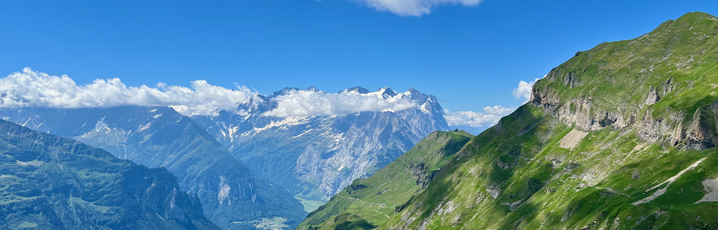
This hike is 7 km long with 541 m of ascent and 237 m descent and starts in Melchsee-Frutt and ends at Planplatten (Alpen Tower.)
-
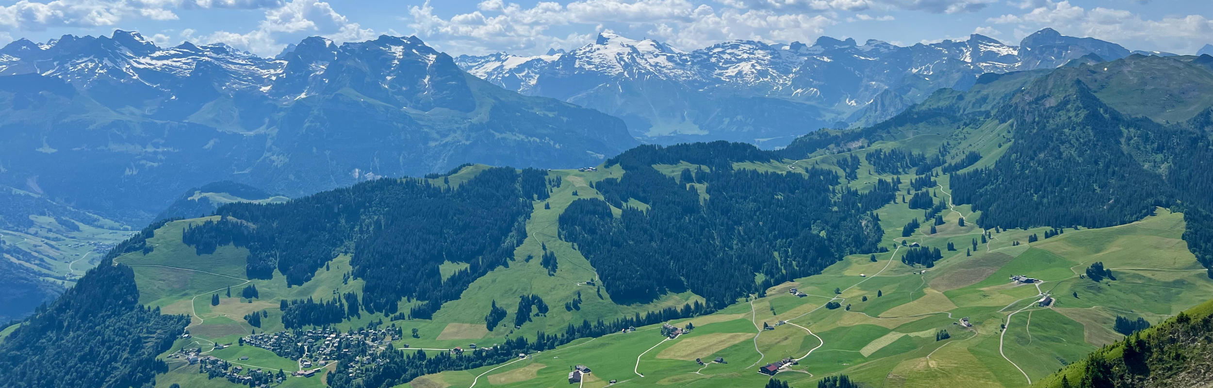
This 6 km hike from the top of the Stanserhorn to the small town of Wirzweli has 102 m ascent and 749 m descent. The views on the trail are fantastic, however, the first half of this trail is very steep.
-
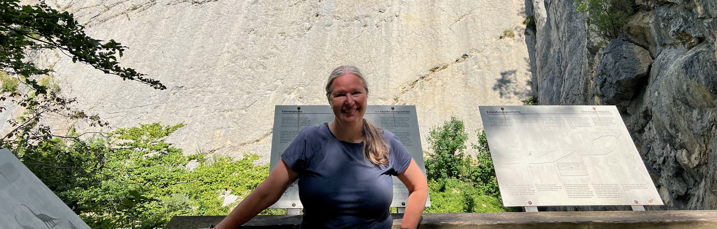
The Waldrandweg is a 12 km hike with 200 m ascent and 420 descent that goes from Oberdorf SO to Grenchen. Along the way, this trail passes an old quarry where a large number of dinosaur tracks can be seen.
-
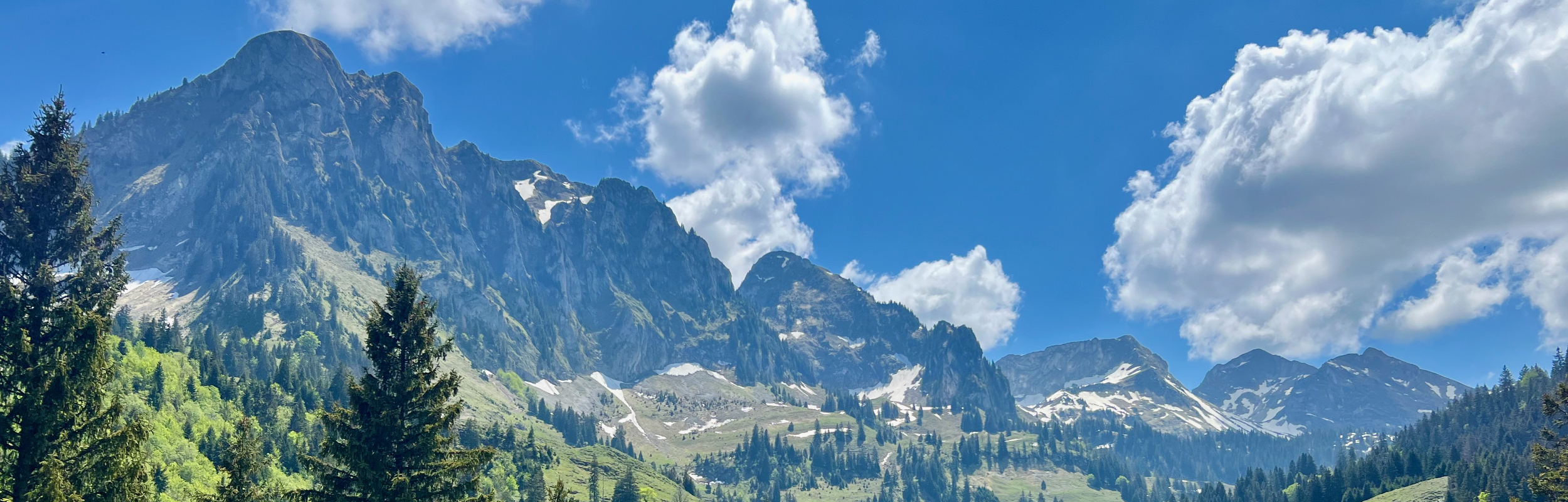
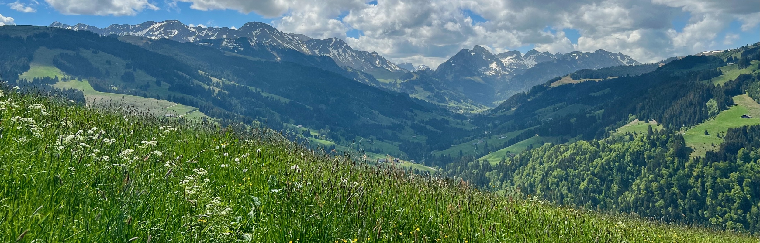
Stage 20 of the Alpine Panorama Trail (Route 3) is a 12 km hike with 720 m ascent and 750 m descent that goes from Schwarzsee to Jaun. I loved this stage! The views were truly incredible!
-
Stage 19 of the Alpine Panorama Trail (Route 3) is a 16 km hike with 660 m ascent and 740 m descent that goes from Guggisberg to Schwarzsee.
-
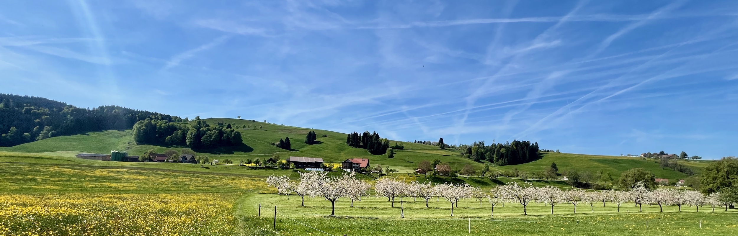
This cherry blossom hike in canton Zug is 13 km long with 293 m ascent and 678 m descent and goes from Menzingen to Zug.
-
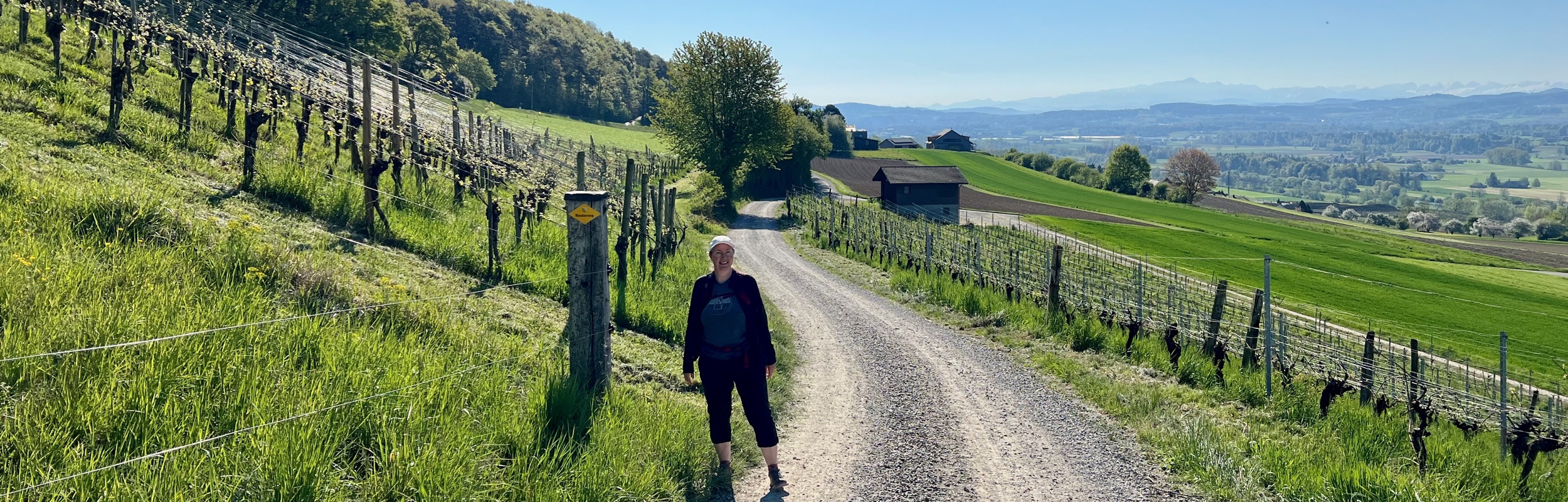
The Thurgauer Rebenweg Trail is 14 k long with 240 m ascent and 300 m descent and goes from Oberneunforn to Frauenfeld. We also stopped at the Karthaus Ittingen, a former monastery and art museum.
-

The Baselbieter Chirsiweg (Cherry Way) is an 11 km trail with 400 m ascent and 260 m decent that goes from Sommerau to Oltingen. We went in the opposite direction and had a lovely time. Although the cherry trees weren’t fully in bloom yet, we enjoyed two other highlights: a cave and a waterfall.
-

Stage 18 of the Alpine Panorama Trail (Route 3) is a 17 km hike with 820 m ascent and 620 m descent that goes from Rüeggisberg to Guggisberg.
-

Stage 17 of the Alpine Panorama Trail (Route 3) is a 19 km hike with 950 m ascent and 560 m descent that goes from Münsingen to Rüeggisberg. With the shorter days, we decided to split this hike over two days.
-

Stage 16 of the Alpine Panorama Trail (Route 3) is a 19 km hike with 440 m ascent and 860 m descent that goes from the Moosegg hotel to Münsingen.
-

The trail from Mettmen to Matt is 11 km long with 599 m ascent and 1379 m decent. With stunning mountain panoramas and a lovely alpine lake (Berglimattsee), this is a beautiful hike. However, the long steep descent, often on loose gravel was very tough on the knees and not my favorite to hike.