
Tag: Summer
-

A fun and exciting white water rafting trip on the Rhône river in Canton Valais, Switzerland.
-

Stage 8 of the Trans Swiss trail is a 15 km long hike with 280 m of ascent and 250 m of descent. The trail goes from Murten to Laupen and it is a fairly easy walk through fields, forest, and small towns.
-

The hike between Monte Tamaro and Monte Lema is an absolutely spectacular trail with stunning views the entire way. At about 13 km and 753 m ascent and 717 m decent, (without the optional peak climbs) it isn’t easy and it takes a bit of planning to do.
-

On a quick weekend trip to Ticino, we rented bikes and biked a portion of stage 2 of the Percorsa Valle Maggia (bike route 31).
-
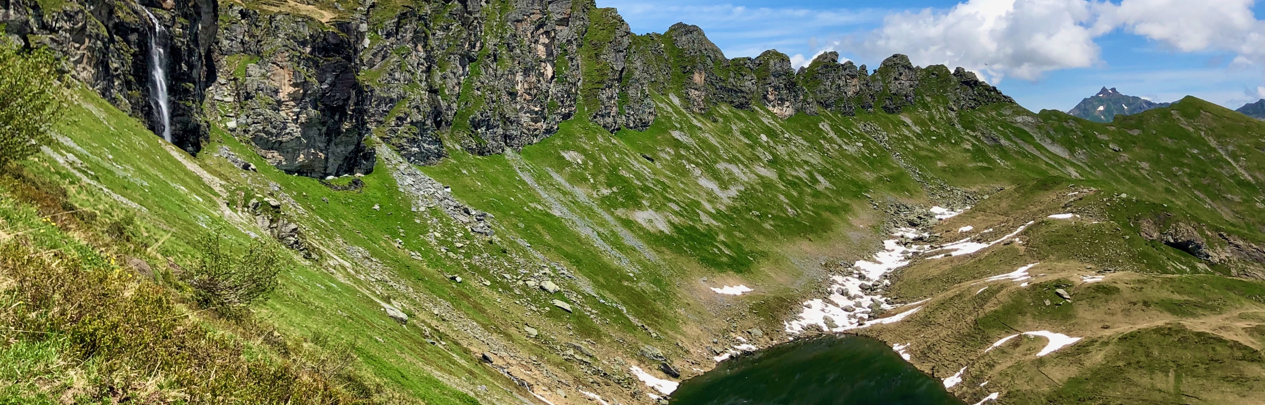
The Chüebodensee loop hike at Elm is a 8 km hike with approximately 640 m of ascent and decent. This moderately challenging trail leads up to the Chüebodensee, a small alpine lake.
-

The Goldauer – Bergsturzspur Loop (route 828) is an 8km long hike with 540 m elevation change. This hike takes you through the Goldau landslide area.
-

Stage 7 of the Trans Swiss trail is a 19 km long hike with a 360 m ascent and a decent of 340 m. The trail technically goes from Neuchâtel to Murten, but as you cross Lake Neuchâtel with the ferry, you don’t actually start hiking until you reach Cudrefin.
-

Stage 6 of the Trans Swiss trail is an 11 km long hike with a 200 m ascent and a decent of 560 m.
-

In our hike-through of the Trans Swiss Trail, we are on to stage 5, a 15 km stretch with an ascent of 580 m and descent of 560 m that goes from St-Imier to Chézard-St-Martin.
-

We did a 12 km loop hike from Türlersee to Paradies that we found on Komoot.
-

We continued our hike-through of the Trans Swiss Trail by hiking stage 4, an 18 km stretch with an ascent of 460 m and descent of 660 m going from Saignelégier to St-Imier.
-

We completed stage 3, Soubey to Saignelégier. At 12 km, this stage was a relatively short hike, but with an 800 m gain in altitude, it was not an easy hike.