
Category: Hiking
All hiking routes are in Switzerland unless otherwise specified in the title of the post.
-

Stage 12 of the Trans Swiss trail goes from Lützelflüh to Langnau i.E. and is a relatively easy stage at 13 km and only 150 m ascent and 60 m.
-

Stage 11 of the Trans Swiss trail is an 18 km hike (with 640 m ascent and 640 m descent) going from Worb to Lützelflüh.
-

Stage 10 of the Trans Swiss trail is a 16 km hike (with 300 m ascent and 240 m descent) going from Bern to Worb.
-

A loop combining three shorter trails – the Adliswil Trail (1.5 k, with 300 ascent), the Felsenegg Trail (3.1 k and approximately 30 m ascent and descent), and the Balderen Trail (3.6 k and approximately 100 m ascent and descent).
-

At 25 km, stage 9 of the Trans Swiss trail is a long hike (the “official” hike is 22 km, but then it is another 3 km to walk to the train station). Fortunately, with only 400 m ascent and 360 m descent, it isn’t a very difficult hike.
-
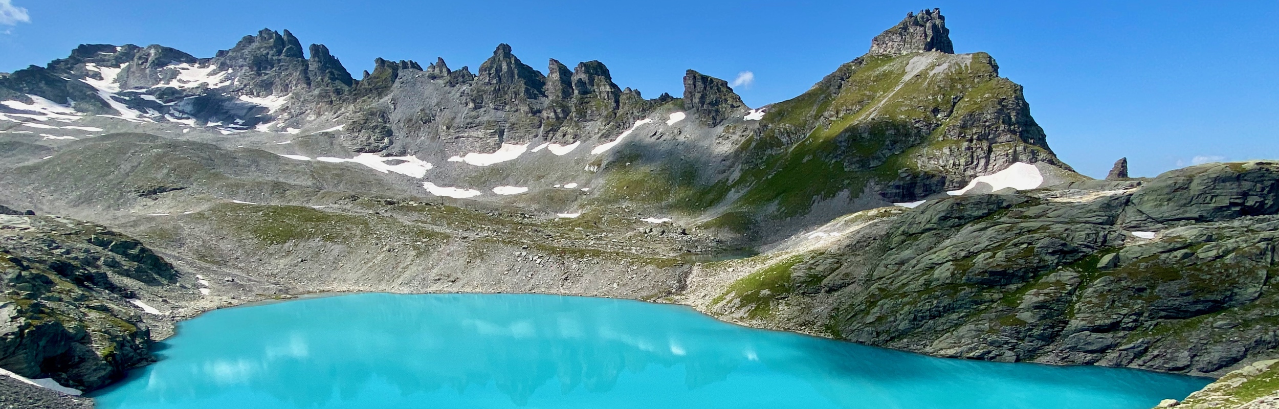
The very popular Pizol 5-Seen-Wanderung (or 5-lakes Hike) is an absurdly beautiful trail with gorgeous lakes and amazing expansive panoramas. According to one source, this hike it is 11k with 553 ascent and 911 m descent.
-

The Gemmipass is a historic mountain passage connecting Canton Valais and Canton Bern, which, has been used since ancient times (coins from the Roman empire have been found here). The hike is about 8.5 km with about 80 m of ascent and 480 m of decent along well maintained gravel paths.
-

Stage 8 of the Trans Swiss trail is a 15 km long hike with 280 m of ascent and 250 m of descent. The trail goes from Murten to Laupen and it is a fairly easy walk through fields, forest, and small towns.
-

The hike between Monte Tamaro and Monte Lema is an absolutely spectacular trail with stunning views the entire way. At about 13 km and 753 m ascent and 717 m decent, (without the optional peak climbs) it isn’t easy and it takes a bit of planning to do.
-
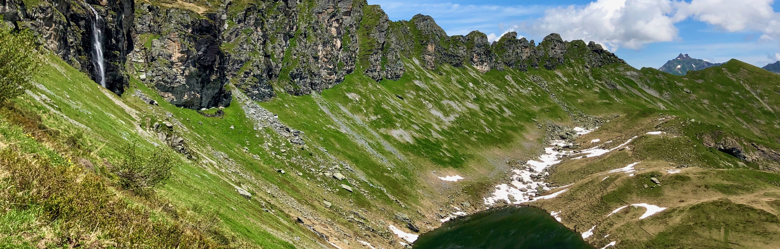
The Chüebodensee loop hike at Elm is a 8 km hike with approximately 640 m of ascent and decent. This moderately challenging trail leads up to the Chüebodensee, a small alpine lake.
-

The Goldauer – Bergsturzspur Loop (route 828) is an 8km long hike with 540 m elevation change. This hike takes you through the Goldau landslide area.
-

Stage 7 of the Trans Swiss trail is a 19 km long hike with a 360 m ascent and a decent of 340 m. The trail technically goes from Neuchâtel to Murten, but as you cross Lake Neuchâtel with the ferry, you don’t actually start hiking until you reach Cudrefin.