
Tag: Hikes in Zürich (ZH)
All hikes in canton Zürich (ZH).
-

The Zürich-Flughafen Rundweg trail is a 17 km long trail with 110 m ascent/descent that makes a complete loop around the Zürich Airport.
-

The Mülitobel-Sihl-Weg trial is 14km long with 250 m ascent and 560 descent and goes from Shönenberg (ZH) to Richterswil.
-

The Rundweg Winterthur trail is a 10 stage, 70 km loop trail that follows along the Winterthur city limits. For our hike, we only did the 15 km long section recommended on the SwissMobility website that went from the Kempttahl train station to the bus stop in Elsau, Tolhusen.
-

For our last hike of 2022, we decided to do something close by and headed up to the Horgenberg for an easy loop around the fields to Hirzel and then back along the ridge past Hirzel Höhi. This isn’t an “official” hiking route, but I decided to write a post about it anyway.
-

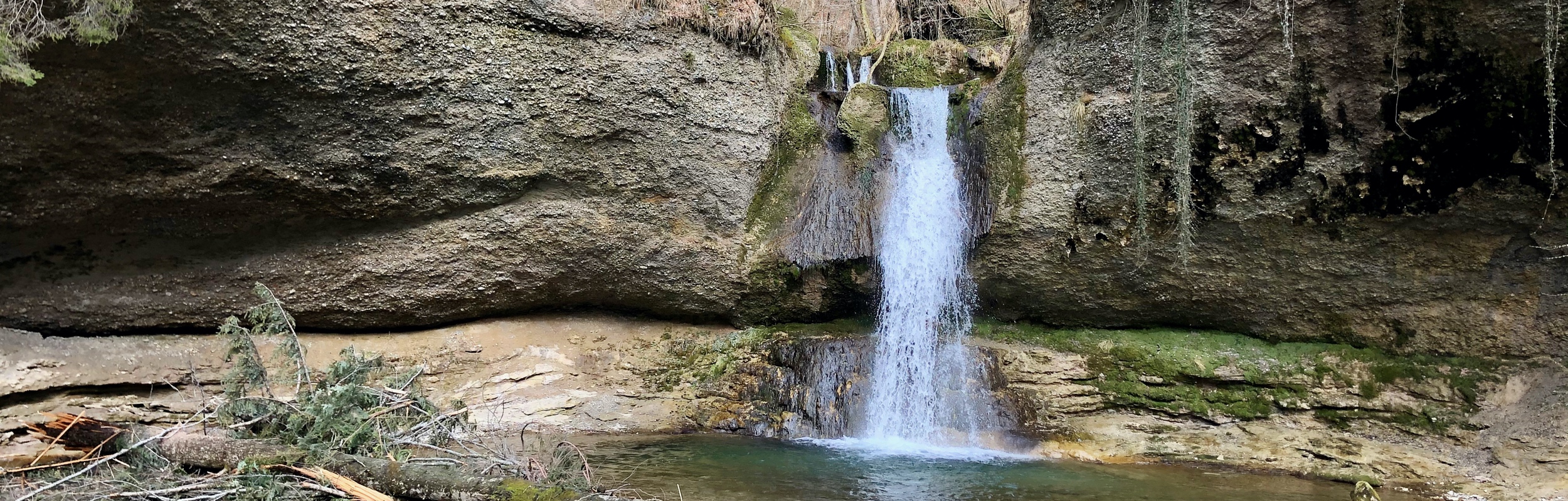
The Tüfelschilen–Schauenberg Trail (16 km, 640 m ascent and descent ) goes from Kollbrunn to Elgg passing through a mossy abandoned quarry, ancient guardhouse ruins, and a pretty ravine with a babbling brook and little waterfalls.
-

The Lägern Ridge Trail (14 km, approximately 583 m ascent and descent ) goes from Dielsdorf to Baden and along the way traverses an exposed narrow rocky ridge.
-

The powerful Rhine Falls are an easy and fun day trip from Zürich. I recently went there with my in-laws for a short winter hike.
-

A loop combining three shorter trails – the Adliswil Trail (1.5 k, with 300 ascent), the Felsenegg Trail (3.1 k and approximately 30 m ascent and descent), and the Balderen Trail (3.6 k and approximately 100 m ascent and descent).
-

We did a 12 km loop hike from Türlersee to Paradies that we found on Komoot.
-
The Rosinli Rundweg (Length 10 km, Ascent 320 m, Descent 320 m) is an easy loop hike in Canton Zürich starting in the village of Kempten.
-
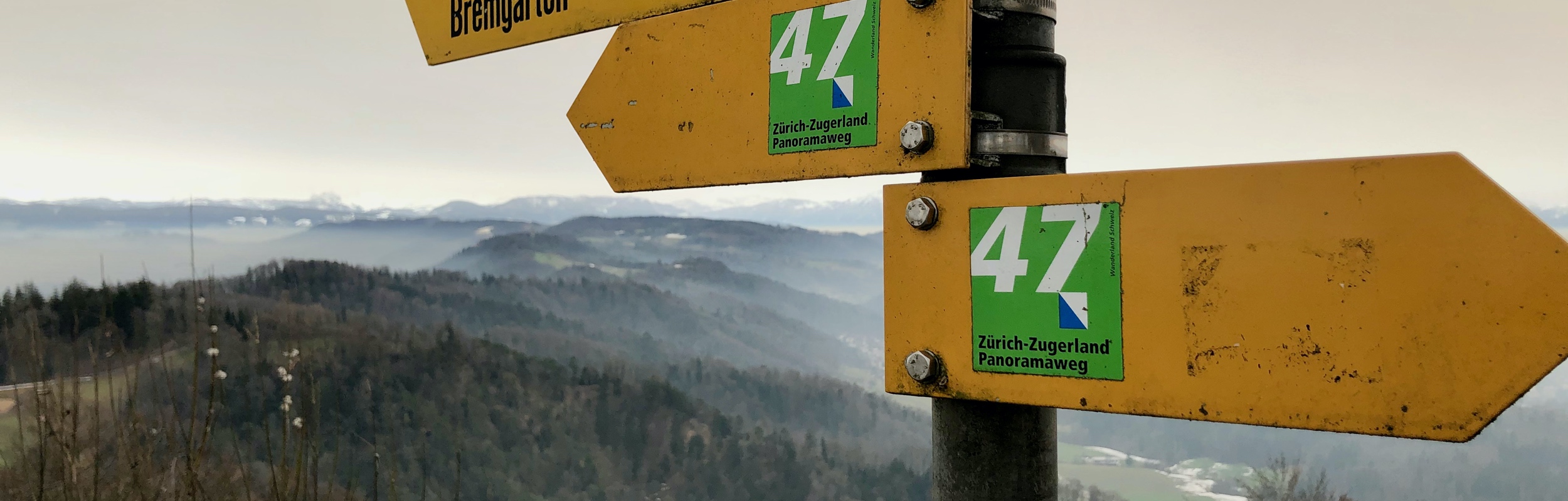
A summary of hiking the complete Zürich-Zugerland Panorama Trail (Trail 47) This trail is a 34 km long, two stage trail that starts in Zürich and goes to Zug.
-

Stage 2 of the Zürich-Zugerland Panorama Trail (length 21 km, ascent 380 m, descent 760 m) continues along the Albis Ridge going past the Ablis Horn before heading down to Baar and on to Zug.