

After spending some time on other trails (Buchenegg Trail, Limmat Kulturweg), I have returned to my quest to complete the Zürichsee-Rundweg with stage 6 – Schmerikon to Rapperswil.
Stage 6, at only 11 kilometers and 70 meters of elevation gain, was not a particularly challenging hike, but on a day with less than perfect weather it made for an excellent afternoon walk. There were beautiful views over the water, as well as a few interesting historical sights.
Detail Summary
| Where: | Schmerikon to Rapperswil, Canton St. Gallen, Switzerland |
| Train: | Zürich HB -> Schmerikon – 47 min Rapperswil -> Zürich HB – 46 min |
| What: | Zürichsee-Rundweg Trail Stage 6 – Schmerikon to Rapperswil (SwitzerlandMobility) |
| Skill: | Easy – About 2 hr 45 min Length 11 km, Ascent 70 m, Descent 70 m |
Additional Info
Photo Stories for All Stages
| The Zürichsee-Rundweg is a ten stage trail that starts and ends in Zürich, Bürkliplatz and makes a complete loop around lake Zürich (including the Obersee). Photo stories for each stage here: Stage 1 – Zürich, Bürkliplatz–Adliswil Stage 2 – Adliswil–Horgen Stage 3 – Horgen–Richterswil Stage 4 – Richterswil–Pfäffikon SZ Stage 5 – Pfäffikon SZ–Schmerikon Stage 6 – Schmerikon–Rapperswil SG Stage 7 – Rapperswil SG–Stäfa Stage 8 – Stäfa–Meilen Stage 9 – Meilen–Küsnacht ZH Stage 10 – Küsnacht ZH–Zürich, Bürkliplatz |
Getting There
The Zürichsee-Rundweg trail is best done with public transportation as each stage starts and ends at different points. Stage 6 starts at the Schmerikon train station, about a 47 min ride from Zürich HB. After arriving at the train station, we were right back to where we left the trail at the end of stage 5.
The Trail
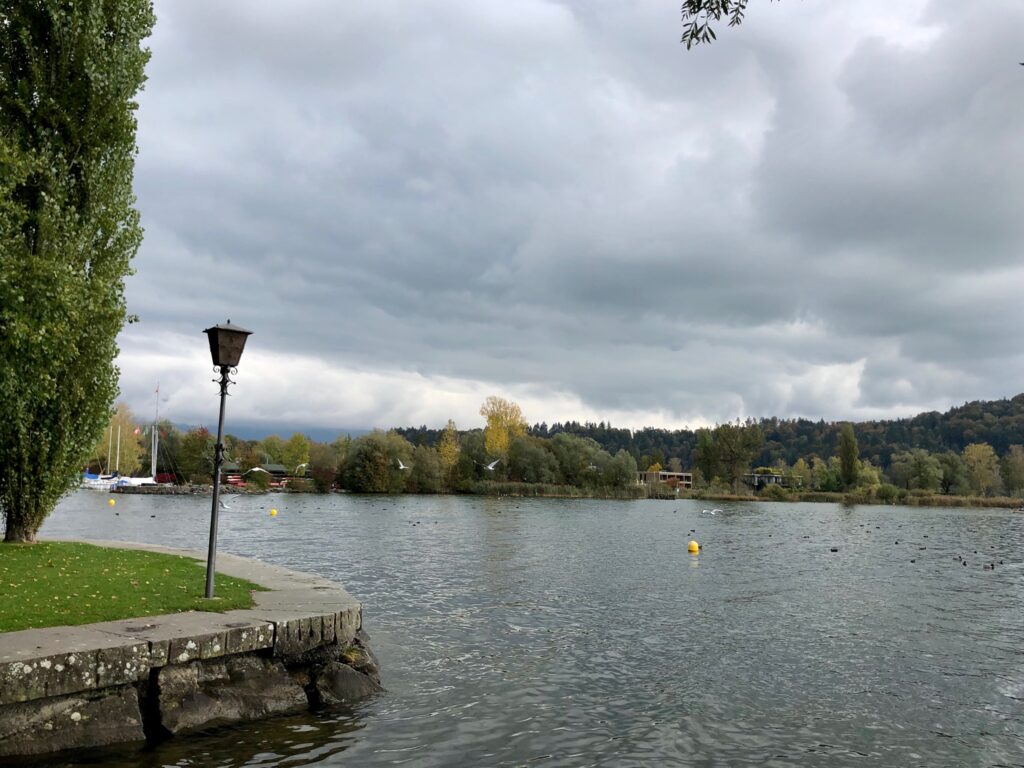
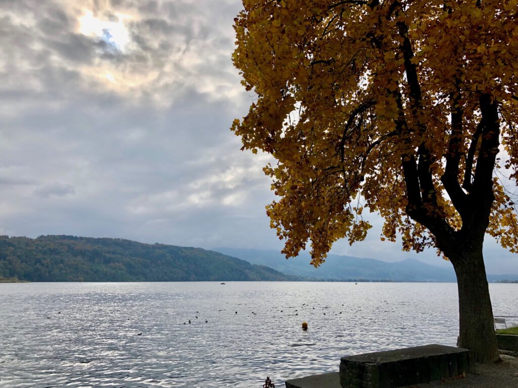
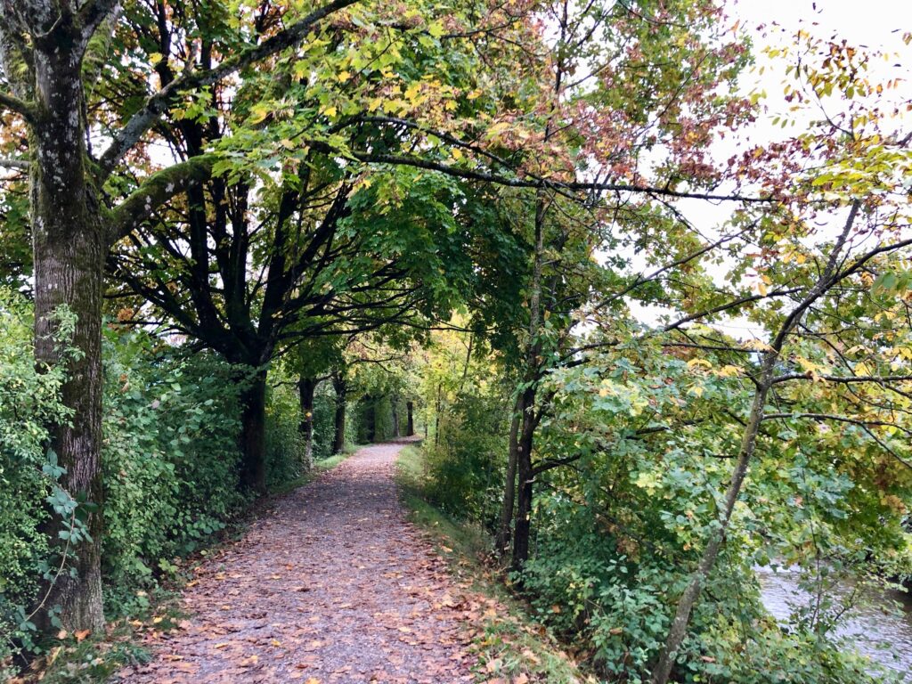
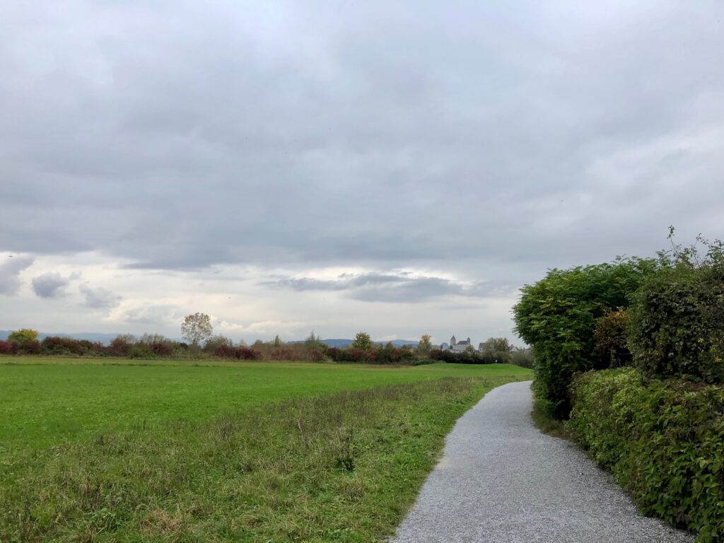
For the first few kilometers, the trail is sandwiched between the railroad tracks and the lake shore where we had some pretty views of the water and autumn leaves.
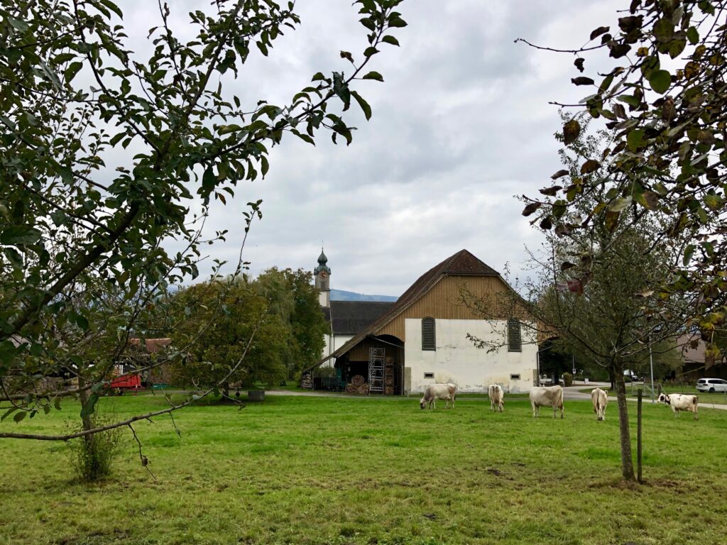
Then, as the distance between the shore and the tracks increased, the trail followed alongside the tracks rather than the shore which was dotted with private residences. After about 2.5 kilometers, we came across one of the markers for the Kulturbaukasten Rapperswil-Jona (german) project. The markers are glass plaques with interesting historical information about the area. This marker was for the Oberbollinger / Hof. Bollinger, an important sandstone quarry in the area that provided the stone for not just the small chapel here (seen in the picture below) but also for many of the larger churches in Zürich, the nearby Wurmsbach Abbey, and the larger abbeys in St. Gallen, and Einsiedeln.
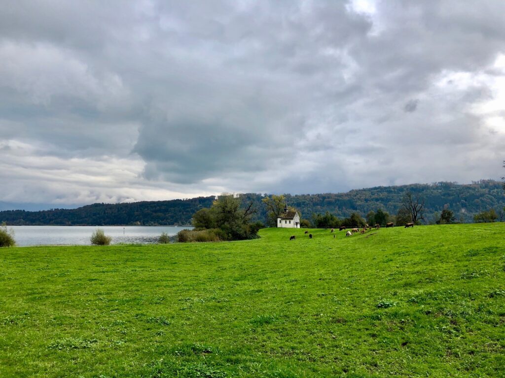
While it is unclear when this chapel was first built, an early mention of it says it was part of a woman’s monastery that was dissolved in 1267. The chapel was then donated in honor of the hermit St. Meinrad in 1627/28 to the Wurmsbach Abbey. The farm located by the chapel was also at one time a part of the Wurmsbach Abbey, but it is now in private hands and houses a restaurant. I have not eaten there, so can’t give a review.
As we continued down the trail, we encountered another small surprise – this structure, which housed a painting of a man slaying a dragon.
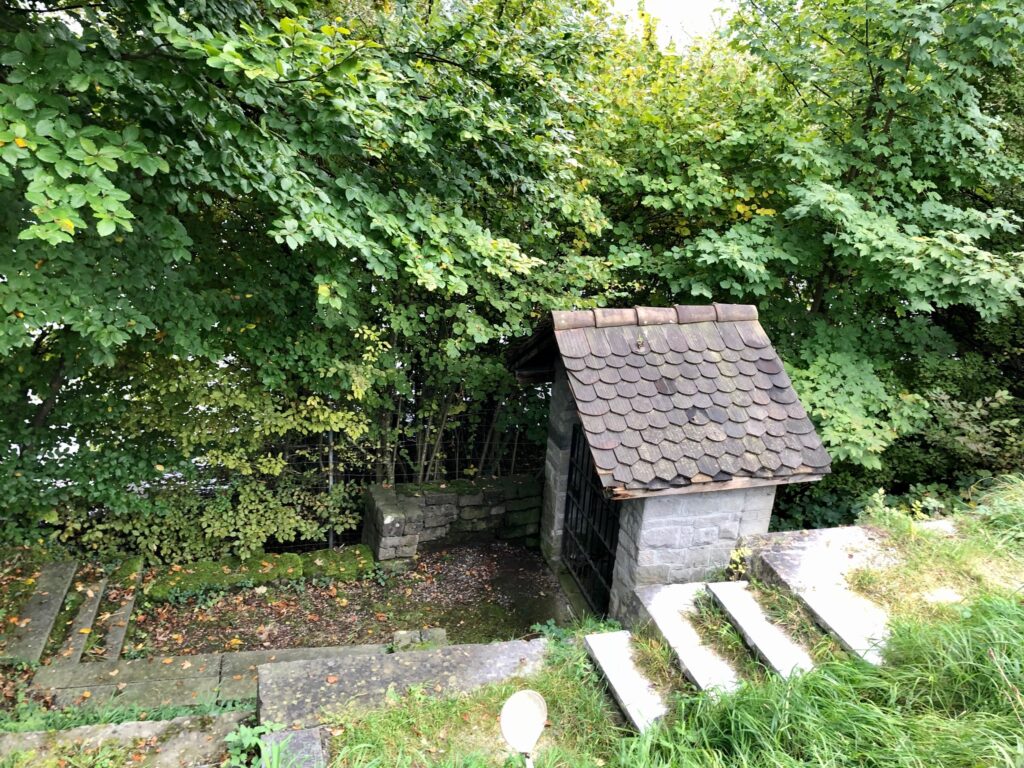
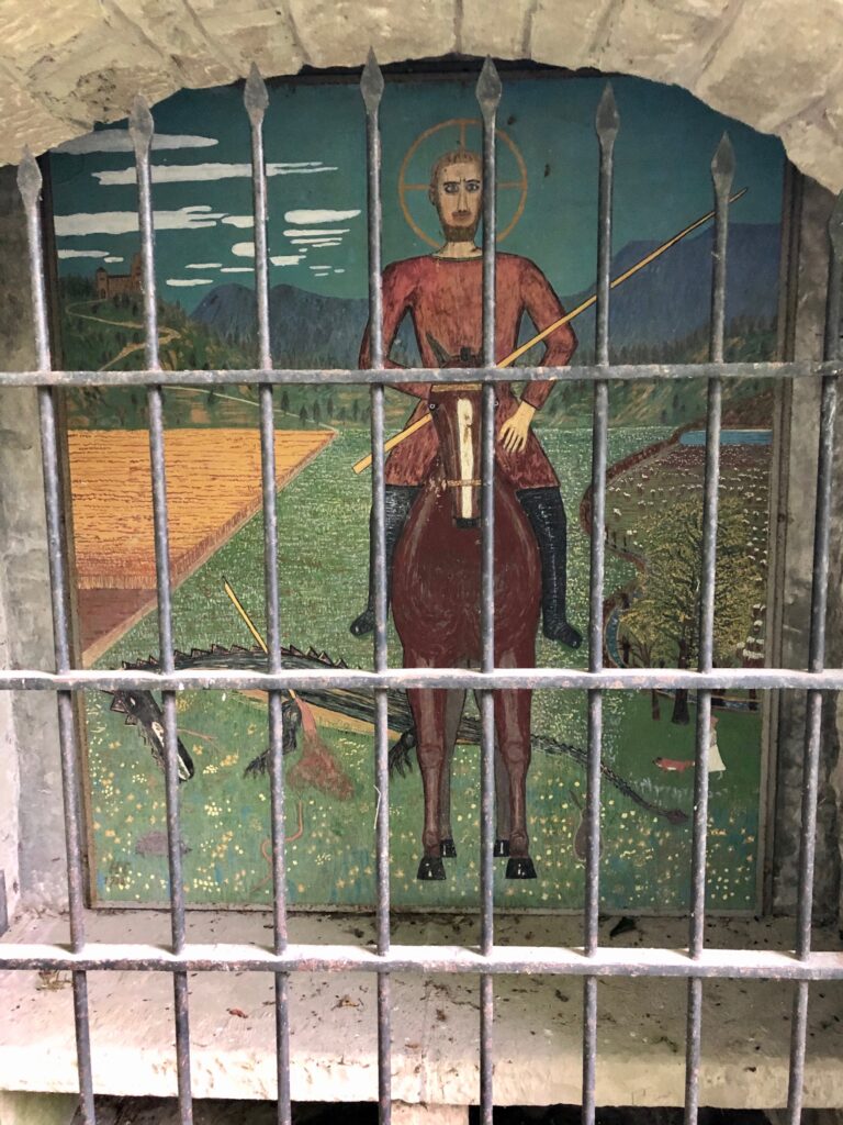
Although the painting is signed H.F. 1938, I was, unfortunately, not able to find out anything more about this structure or the painting.
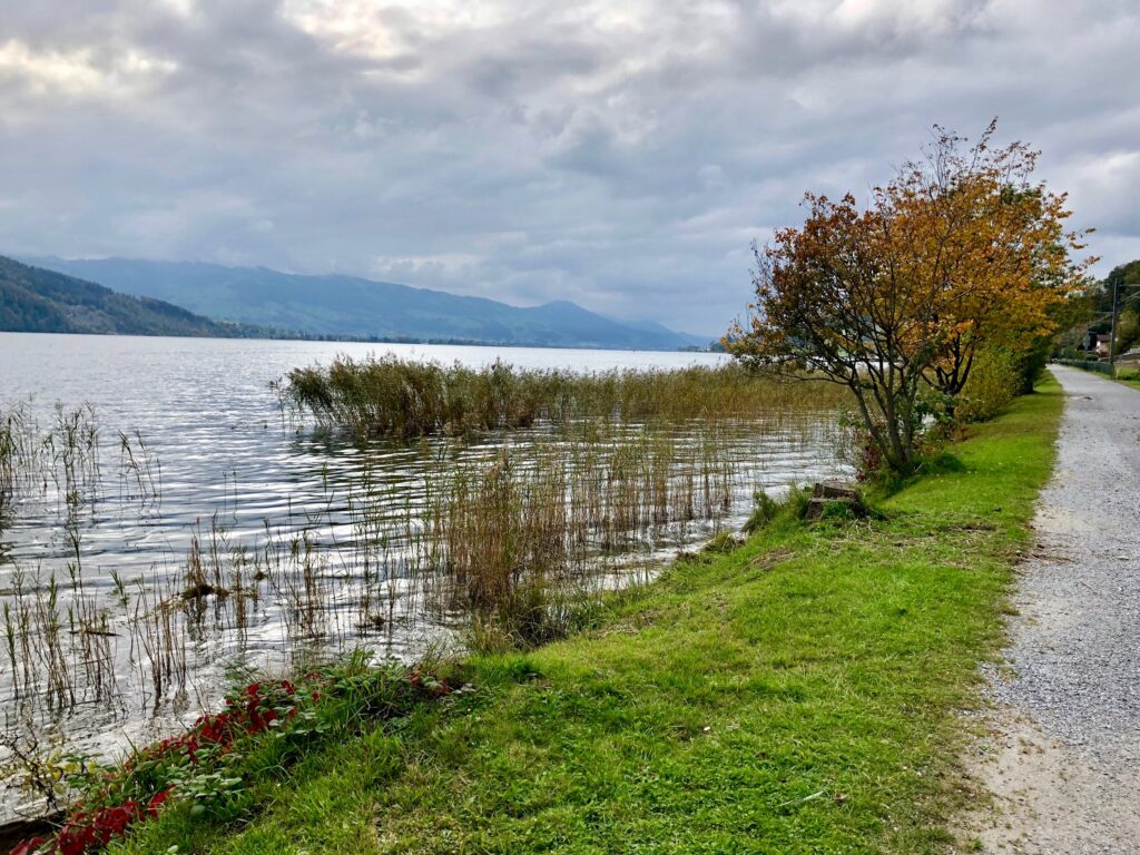
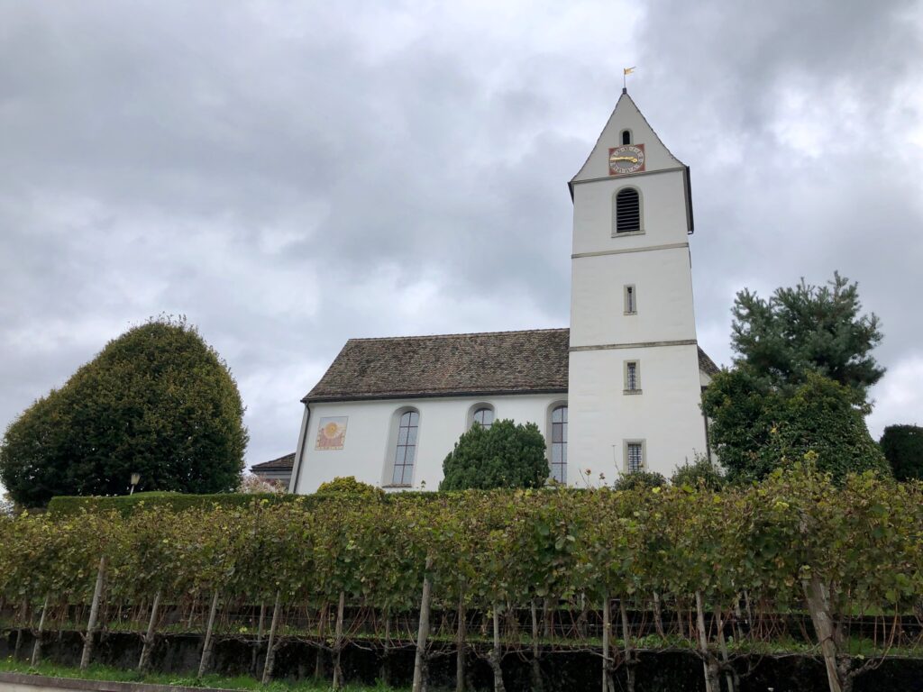
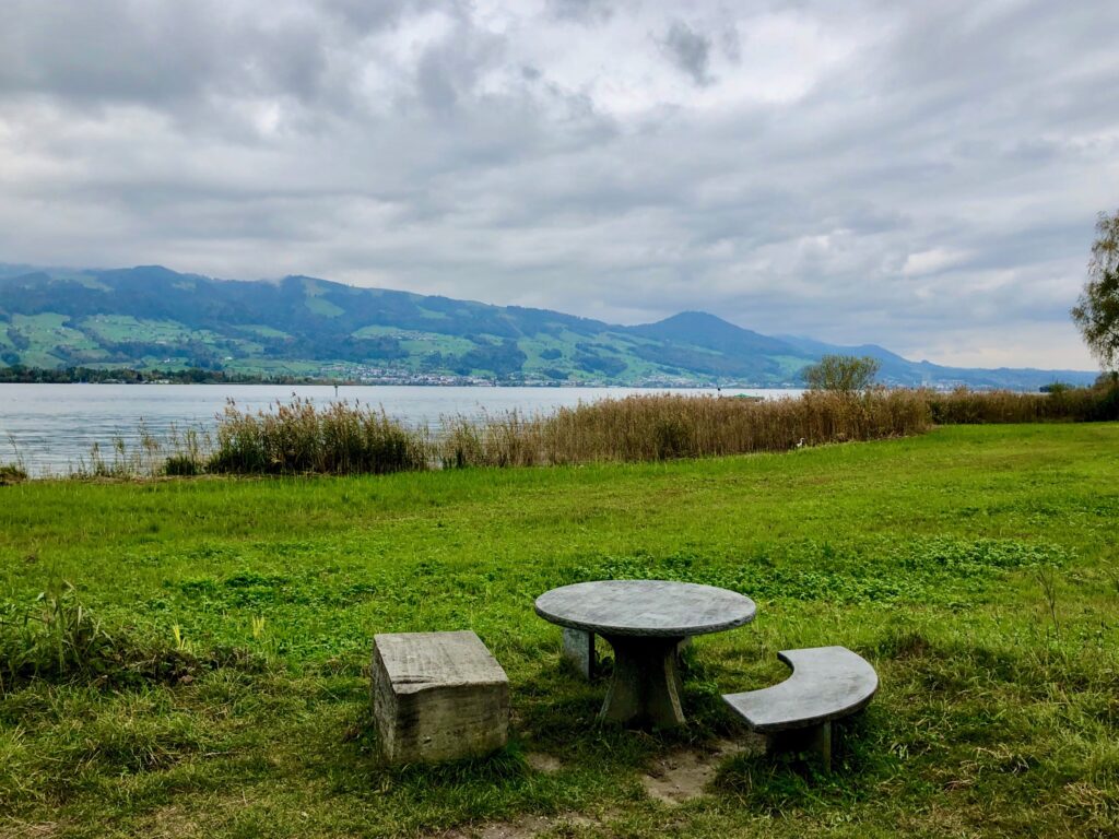
The trial continues along past a pretty church with a vineyard, Kirche St. Pankraz (german), and past many lovely views of the shore with spots that looked perfect for a picnic.
Another 4 kilometers down the path, we came across another marker for the Kulturbaukasten Rapperswil-Jona (german) project, this time for the Wurmsbach Abbey. In 1259, Count Rudolf of Rapperswil donated his castle of Wurmsbach along with a considerable amount of land for establishment of this abbey. There are still nuns living and working there today.
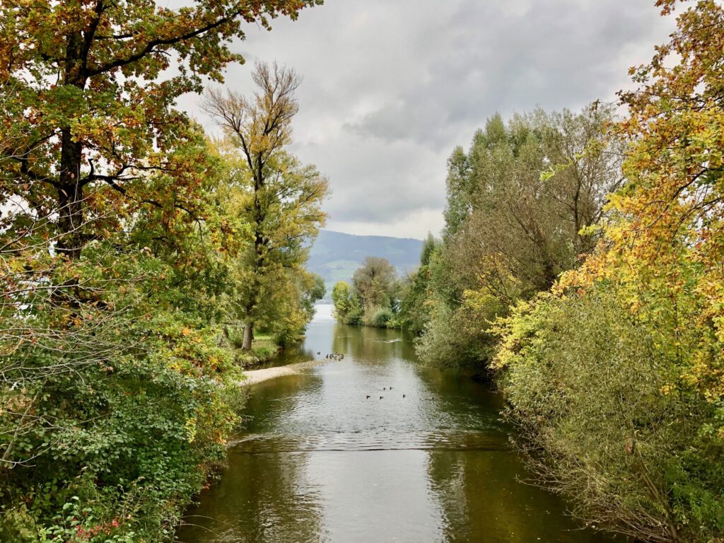
About 2 kilometers after passing the Wurmsbach Abbey, the trail came upon the Jona river (german). Here, rather than crossing the bridge immediately, we turned left and walked along the river towards the lake.
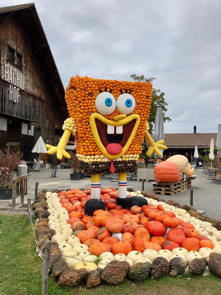
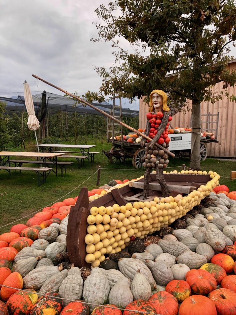
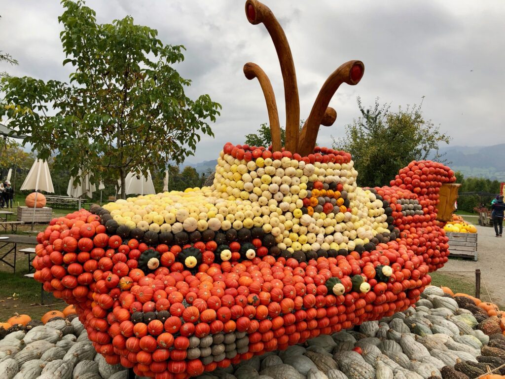
After crossing the river, we passed the public swimming area, Strandbad Stampf (german). As it was October, the swimming facilities were already closed for the season. But, shortly afterwards, as it was October, we were lucky enough to come across a pumpkin exhibition put on by Jucker Farm at their Bächlihof location. Stopping to enjoy the display was only a small detour and totally worth it.
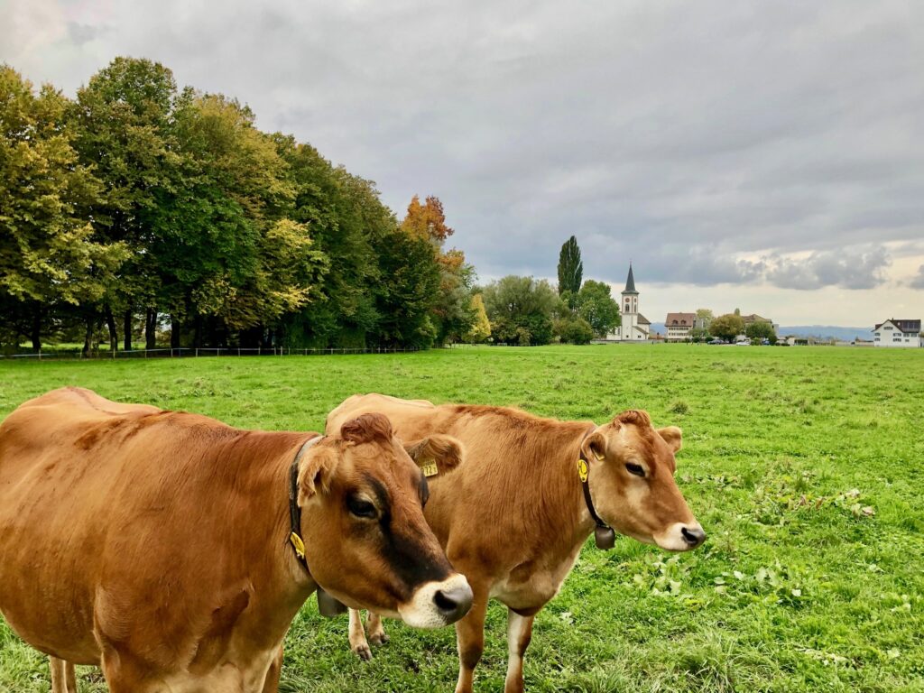
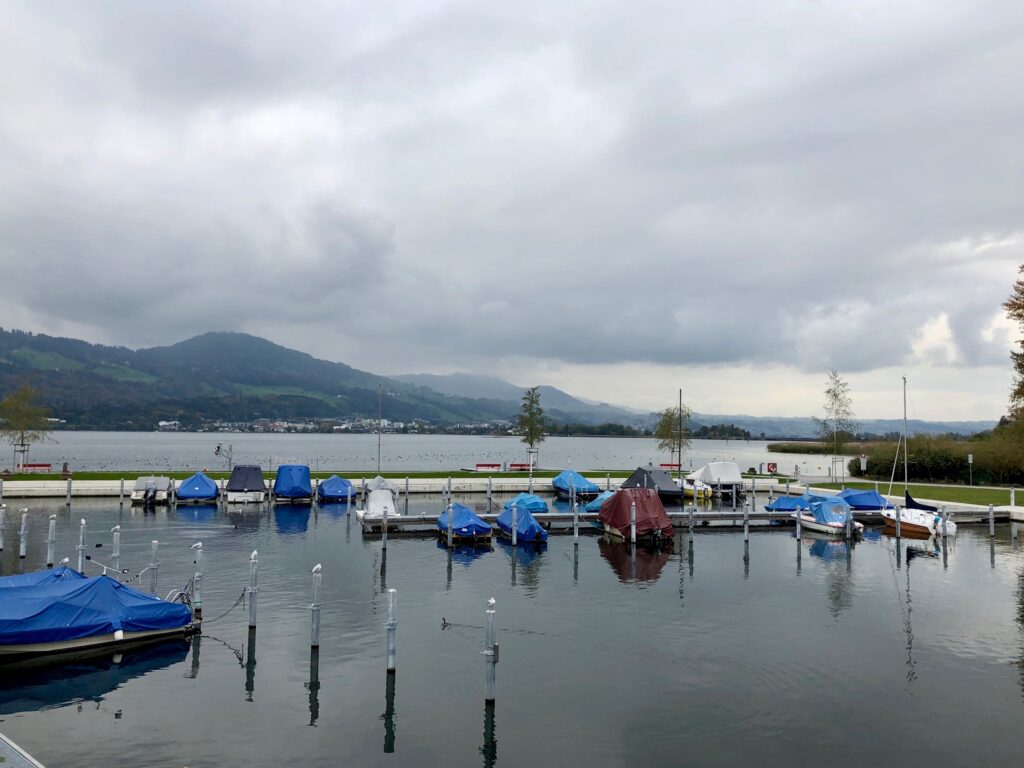
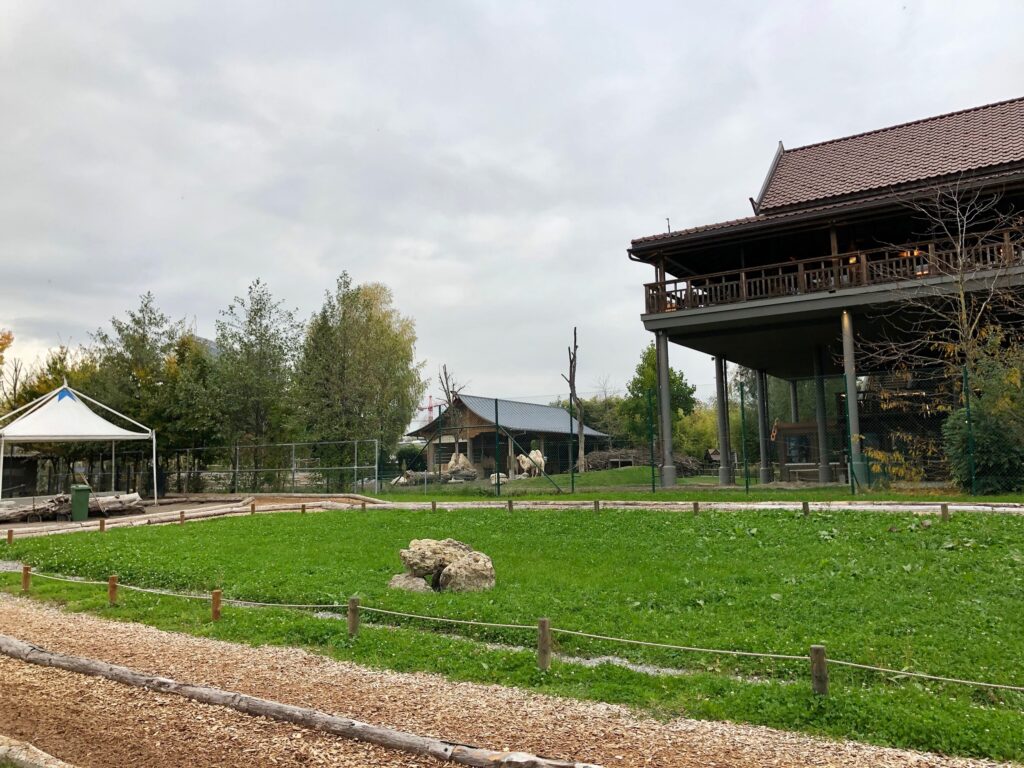
Over the next 2 kilometers, as we continued to Rapperswil, we passed farmland, fields, marinas and even a zoo where we spotted a few camels standing around.
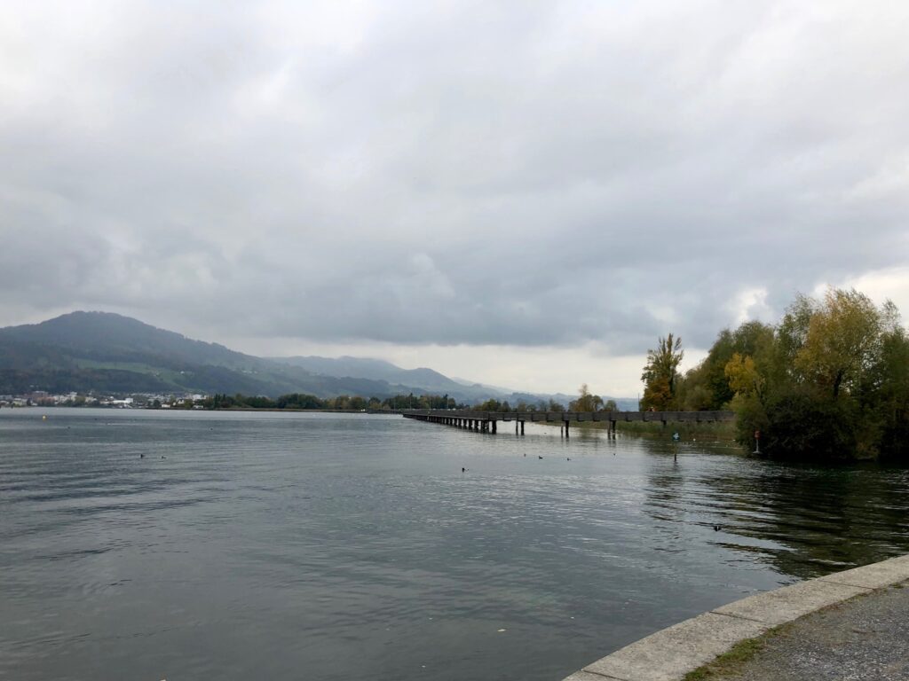
As we neared the Rapperswil train station, we passed the entrance to the Holzbrücke, a wooden pedestrian bridge that crosses the narrowest point of lake Zürich and separates the Zürichsee from the Obersee. While this reconstruction was built in 2001, there is a long history dating back to pre-historic times behind this bridge. The Zürichsee-Rundweg trail does not go over this bridge, but we have walked across it before and the views over the Obersee are absolutely beautiful. As this area is a nature sanctuary, there are also many birds to watch and nesting grounds to observe.
After passing the entrance to the Holzbrücke, the trail continued under the land bridge that separates the Obersee from the Zürichsee. Soon, we were at the end of our hike.
Getting Back
Stage 6 ends across the street from the Rapperswil train station. From here, there is a picture perfect view of the marina and of Rapperswil Castle.

Another excellent hike! On to stage 7. The description for this stage of the hike says it is “a delightful hike through landscapes such as those once described by Gottfried Keller.” I am not familiar with Gottfried Keller, so I have some reading to do before I go.
Leave a Reply