

Back on the trail with stage 7 of the Zürichsee-rundweg hike (length 14 km, ascent 380 m, descent 320 m). We almost hiked this stage on a foggy day, and I am so glad we didn’t! The panorama views on stage 7 were some of the best views so far. Just absolutely gorgeous, particularly with the autumn colors.
Detail Summary
| Where: | Rapperswil to Stäfa, Cantons St. Gallen and Zürich, Switzerland |
| Train/Bus: | Zürich HB -> Rapperswil – 46 min Stäfa, Wanne -> Zürich HB – 41 min Stäfa, Metzg -> Zürich HB – 35 min |
| What: | Zürichsee-Rundweg Trail – Stage 7 Rapperswil to Stäfa (SwitzerlandMobility) |
| Skill: | Easy – About 3 hr 40 min Length 14 km, Ascent 380 m, Descent 320 m |
Additional Info
Photo Stories for All Stages
| The Zürichsee-Rundweg is a ten stage trail that starts and ends in Zürich, Bürkliplatz and makes a complete loop around lake Zürich (including the Obersee). Photo stories for each stage here: Stage 1 – Zürich, Bürkliplatz–Adliswil Stage 2 – Adliswil–Horgen Stage 3 – Horgen–Richterswil Stage 4 – Richterswil–Pfäffikon SZ Stage 5 – Pfäffikon SZ–Schmerikon Stage 6 – Schmerikon–Rapperswil SG Stage 7 – Rapperswil SG–Stäfa Stage 8 – Stäfa–Meilen Stage 9 – Meilen–Küsnacht ZH Stage 10 – Küsnacht ZH–Zürich, Bürkliplatz |
Getting There
The Zürichsee-Rundweg trail is best done with public transportation as each stage starts and ends at different points. Stage 7 starts across the street from the Rapperswil train station, about a 46 min ride from Zürich HB. After arriving at the train station and crossing the street, we were right back to where we left the trail at the end of stage 6.
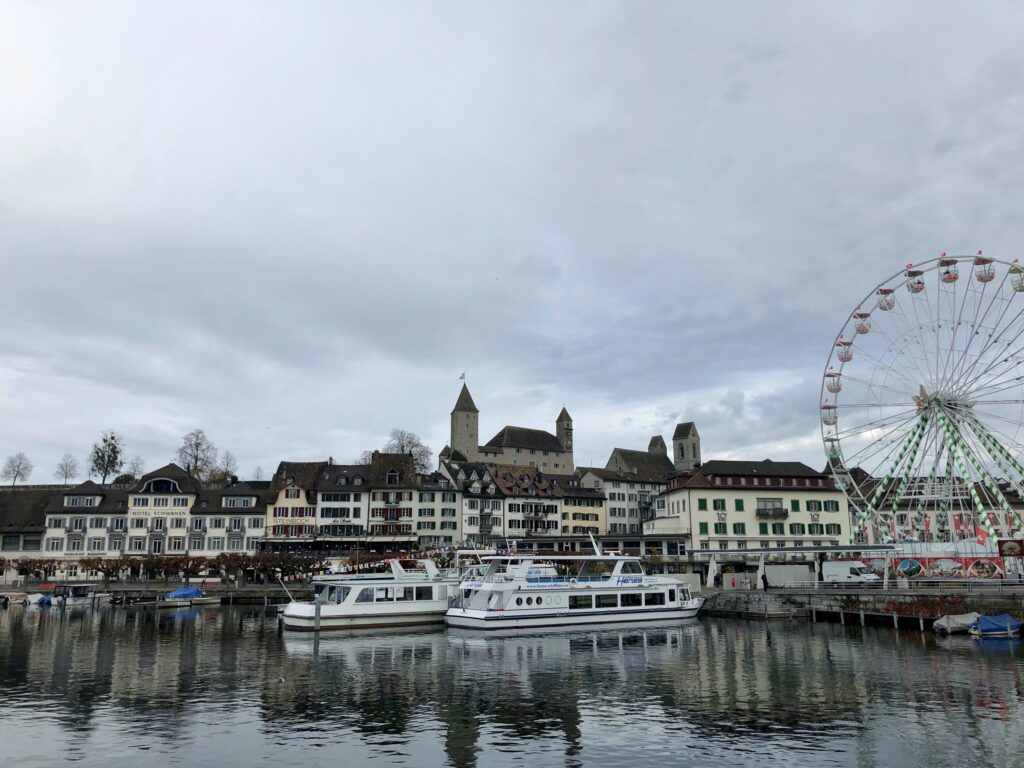
The Trail – Rapperswil
The trail starts by heading through the cobblestone streets of old town up to Rapperswil castle, a beautiful 13th century castle. This castle, once leased by Count Władysław Broël-Plater, a Polish emigrant, houses the Polish Museum and nearby is the Stadtmuseum Rapperswil-Jona, the local history museum. We haven’t been to either museum, but the castle grounds and the old town are lovely. If you have time, I recommend wandering around the grounds for a bit.


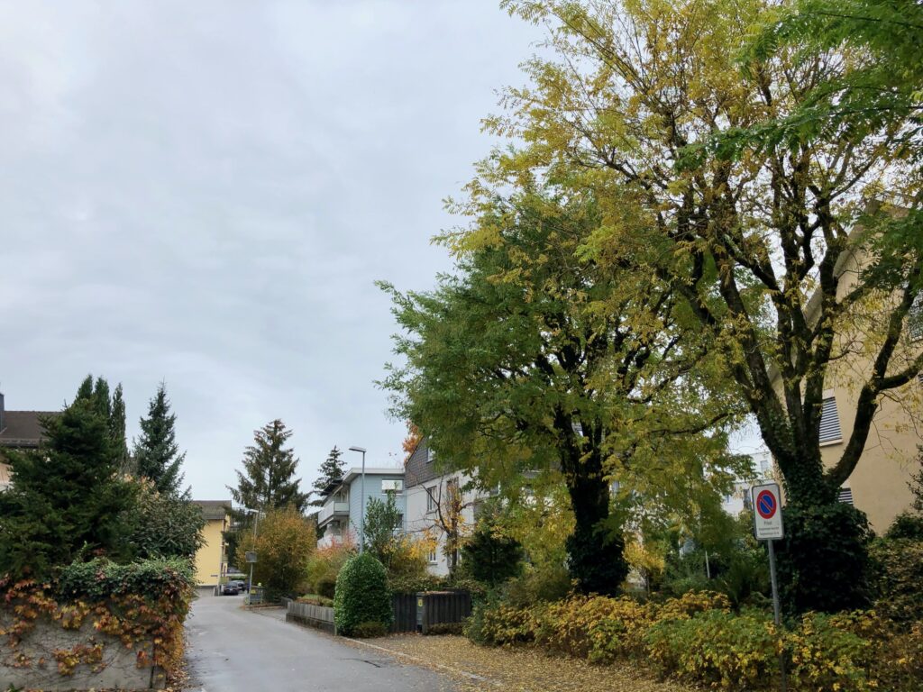
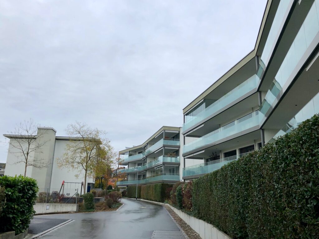
As the trail continues, it leaves the old town behind, and passes through some residential areas with new construction. The contrast in architectural style between the old town and new residential areas was stark.
As the trail continued up the hill, we came to what the trail description called “landscapes such as those once described by Gottfried Keller.” Before this hike, I had not heard of Gottfried Keller, a 19th century Swiss writer, so I looked him up and read one of his short stories – “Three Decent Combmakers” from “The Seldwyla Folks”. And one story was enough for me. Very 19th century. Very wordy. The landscapes on the next part of the trail, however, were absolutely delightful.
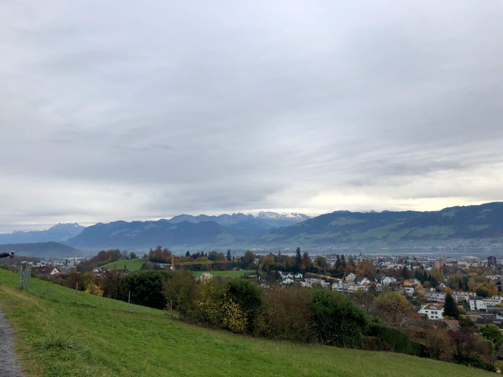
The Trail – Panorama Views
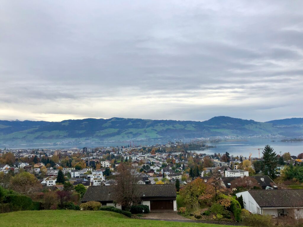
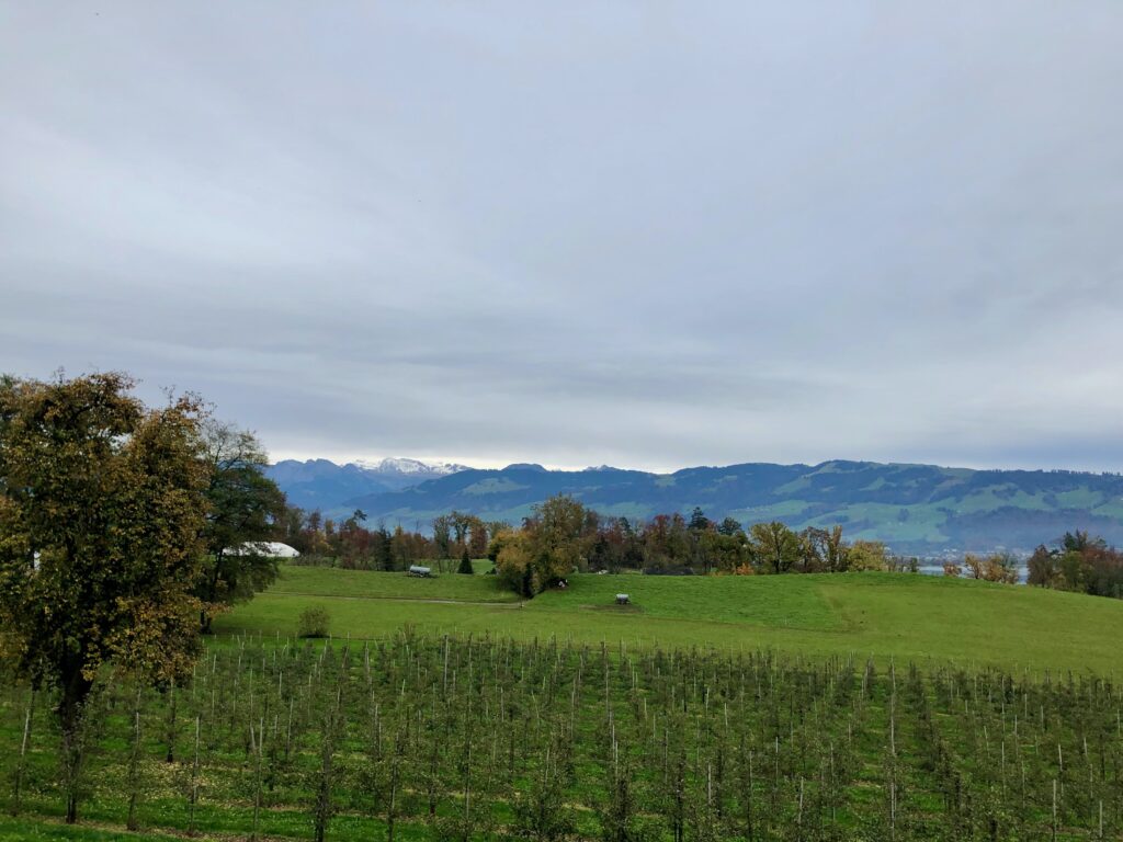
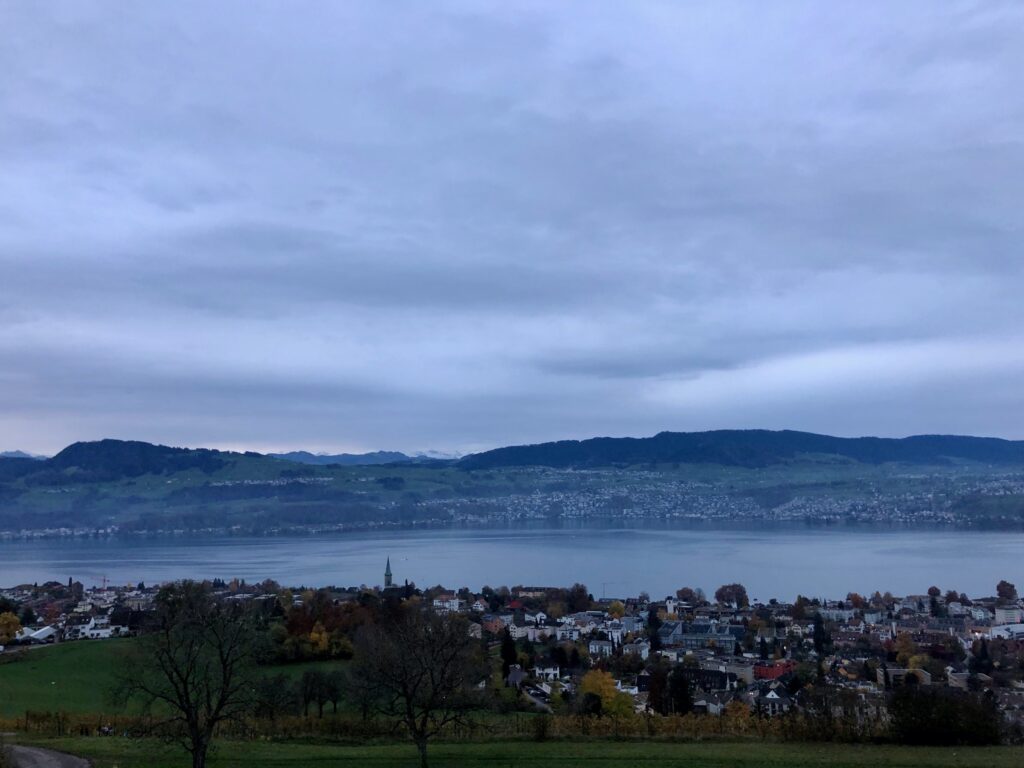
As we neared the crest of the hill, just past the the Schönau bus stop, we got the first real glimpse of the spectacular panorama views offered by this trail.

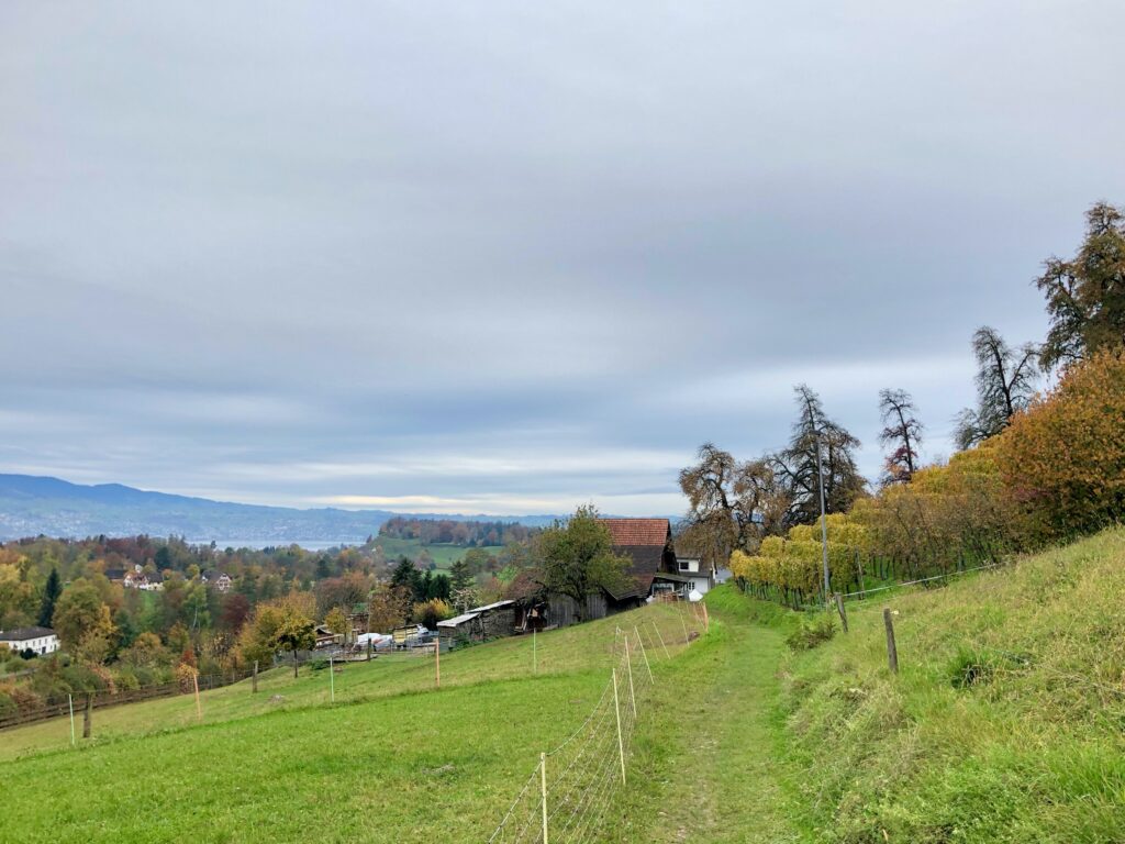
For the next 9 km or so, the trail meanders along the hilltop with just one gorgeous view after another.
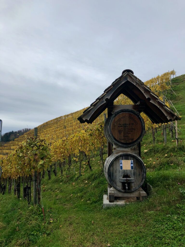
Along the way, I was struck not only by the incredible views, but also by how different the agriculture was on this side of the lake. Compared to the other stages, there were significantly more gardens, orchards, and vineyards.
Short apology here. I was not able to document this trail with the same turn by turn directions as other stages because we got detoured a few times. Mostly it was for construction, but once it was for Coronavirus reasons. The path passed through the grounds of a home for the elderly and for the protection of the residents, random people were not permitted to walk though. We all need to do our part to keep everyone safe. And as always, it is a idea good idea to keep one eye out for the trail markers, and one eye on the map.
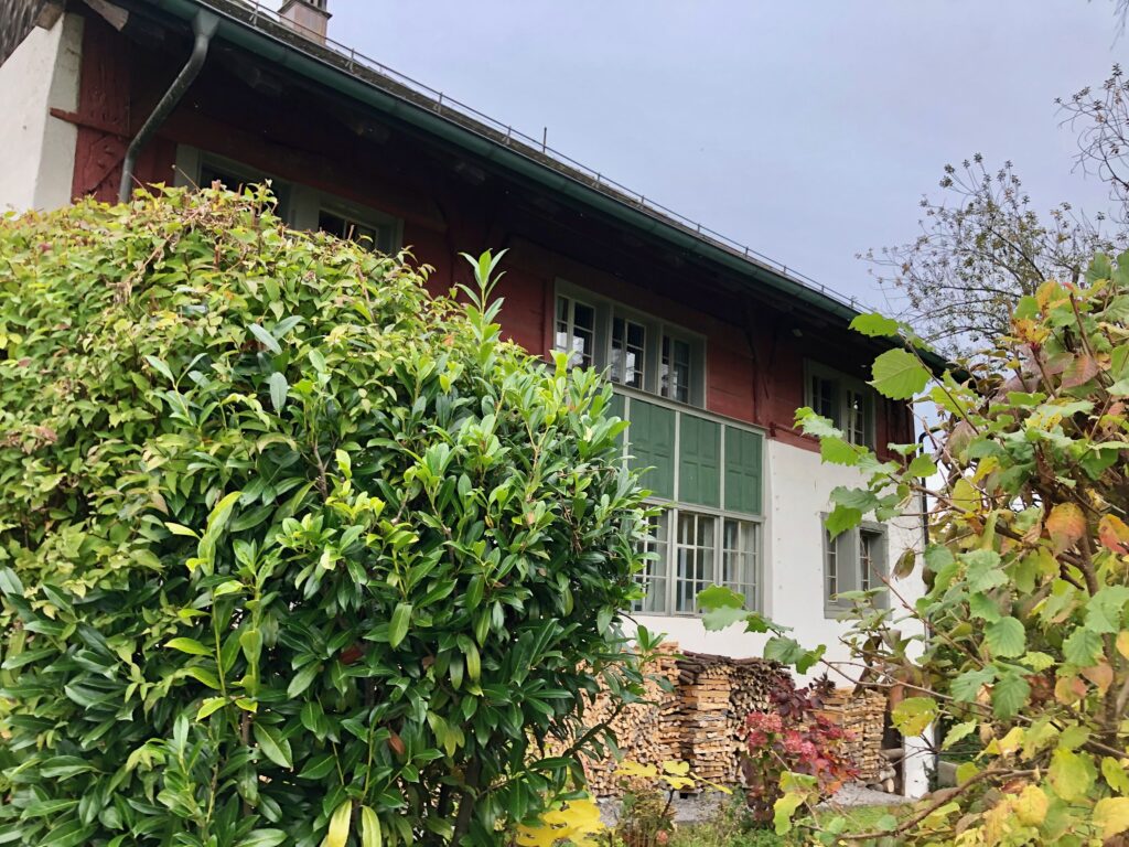
As we hiked, we passed some cute towns with charming old buildings. The building in the first picture below, the so-called Einsiedler Haus (german), is one of the oldest plank construction houses in canton Zürich.
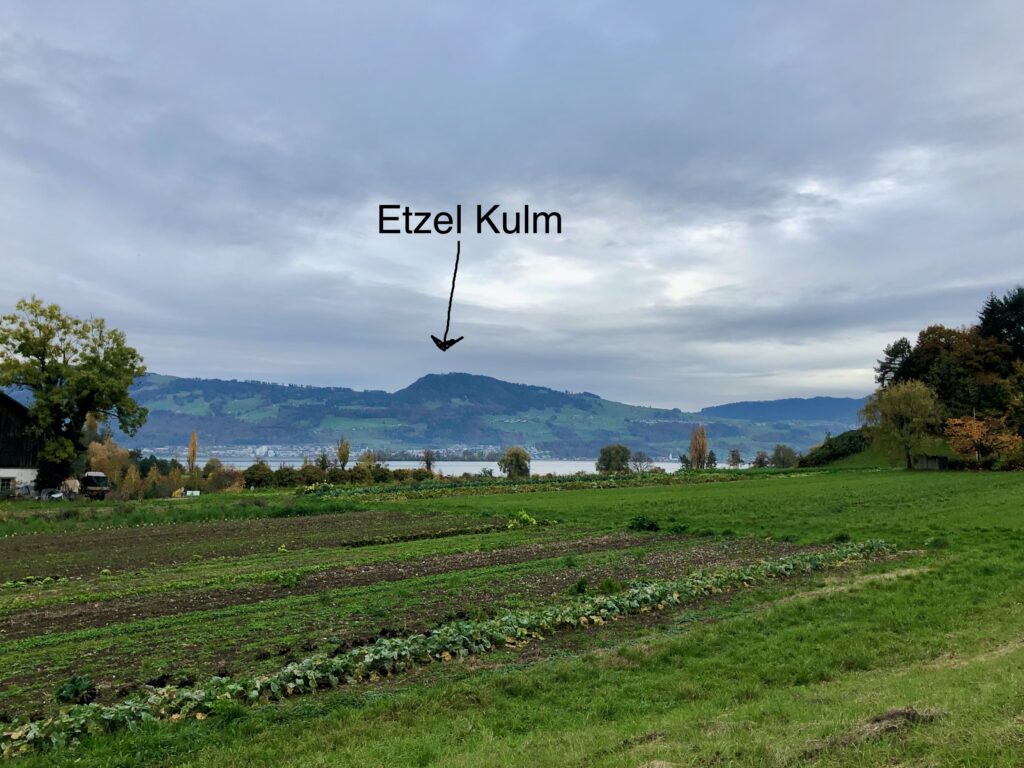
Another thing we particularly enjoyed about this hike, was being able to look across the lake and see where we had been on earlier stages. Here, we got a great view of Etzel Kulm, the high point on stage 4.
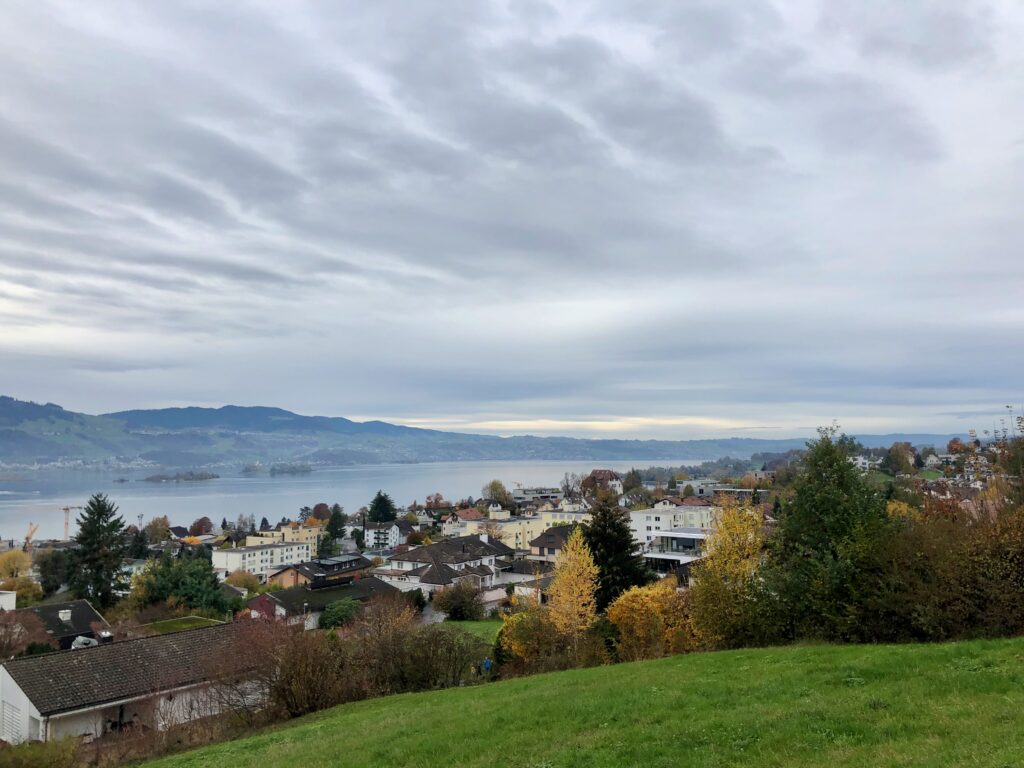
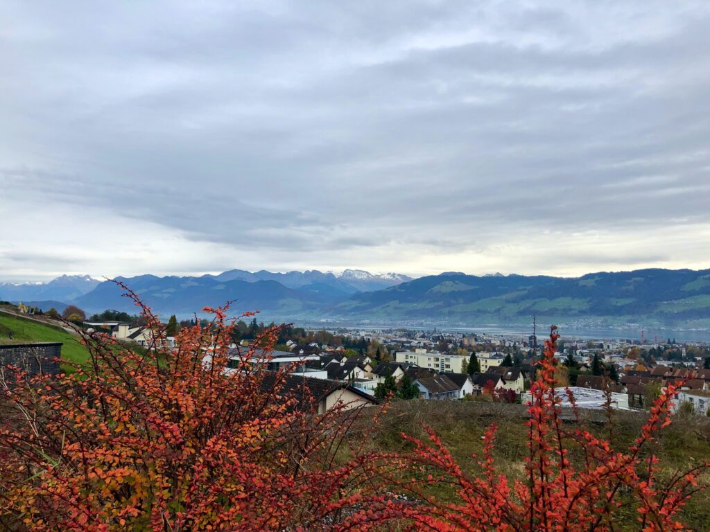
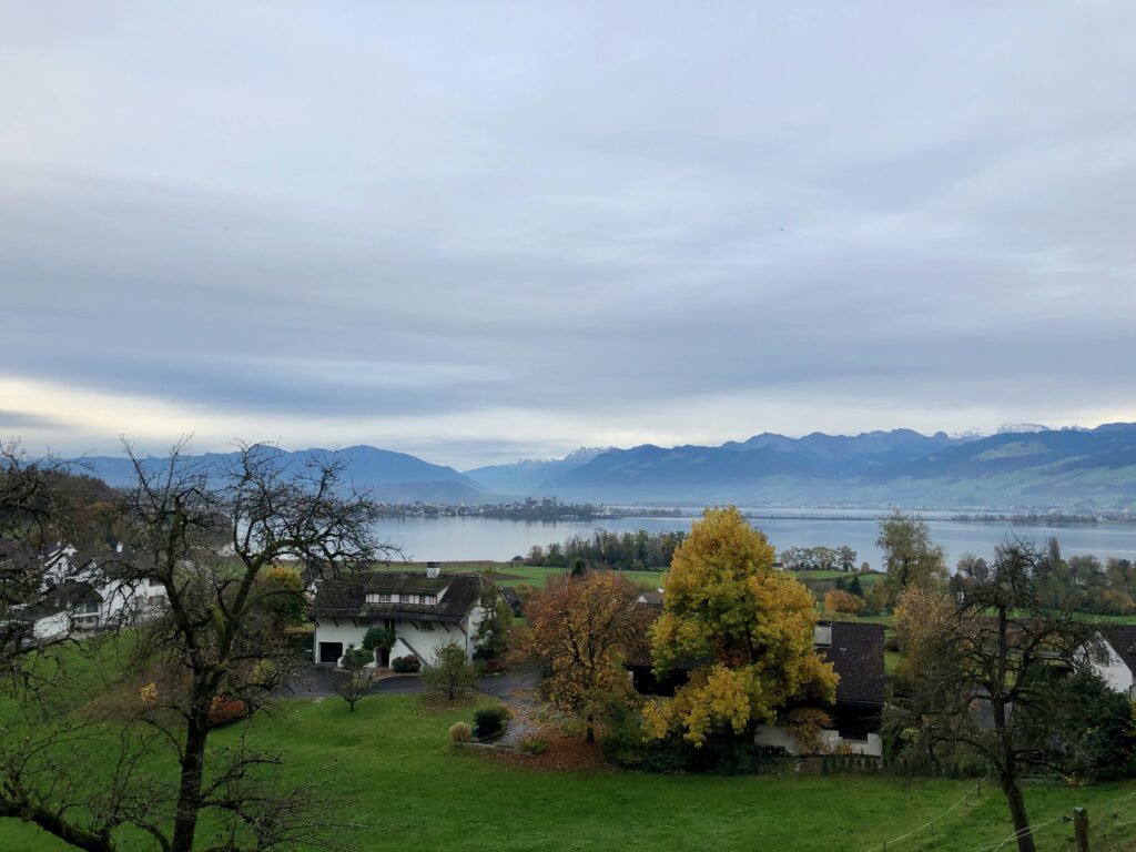
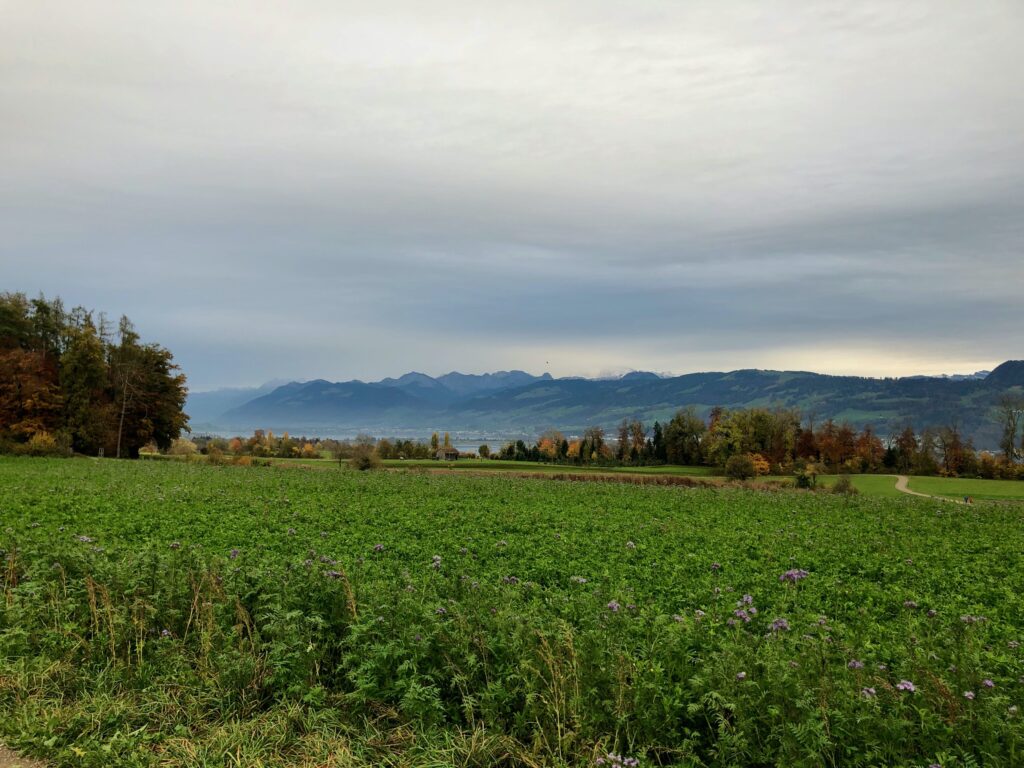
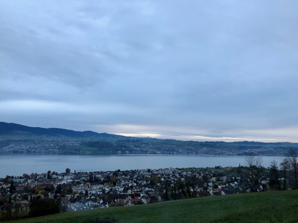
As much as we enjoyed the architecture, the agriculture, and reminiscing about past hikes, there was no denying what this stage was all about – the panorama views. To make my point, here are two pictures from along the way:
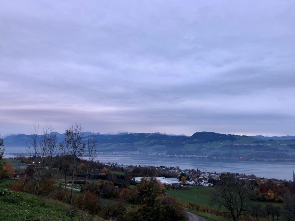
And here are three more pictures (a little dark as the sun was beginning to set) from the picnic area and last view point before the trail heads into the forest.
After we entered the forest, we came to the Risitobel ravine. Here, we needed to make a decision about where to end the hike.
The Ravine and Getting Back
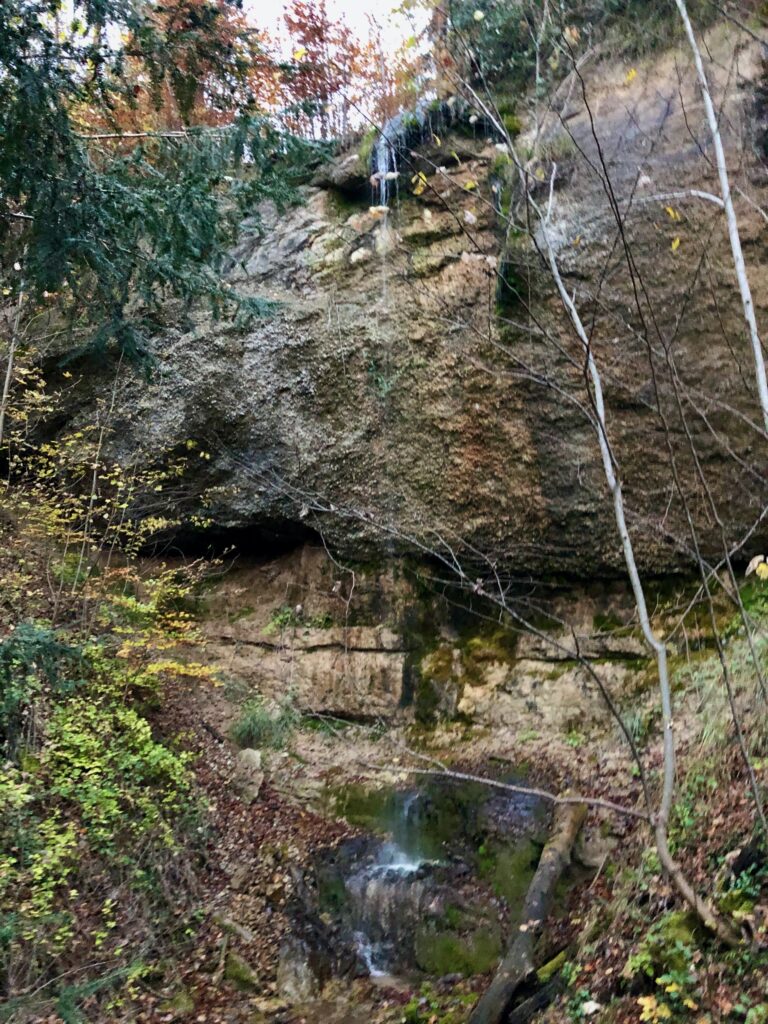
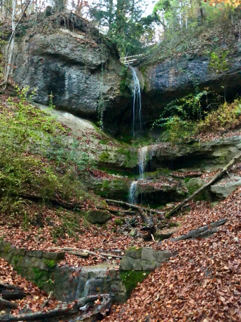
After entering the ravine, we came to a small bridge overlooking a small (probably more impressive in spring) waterfall.

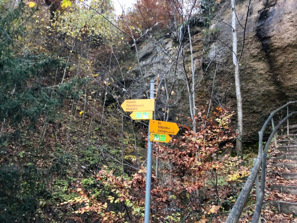
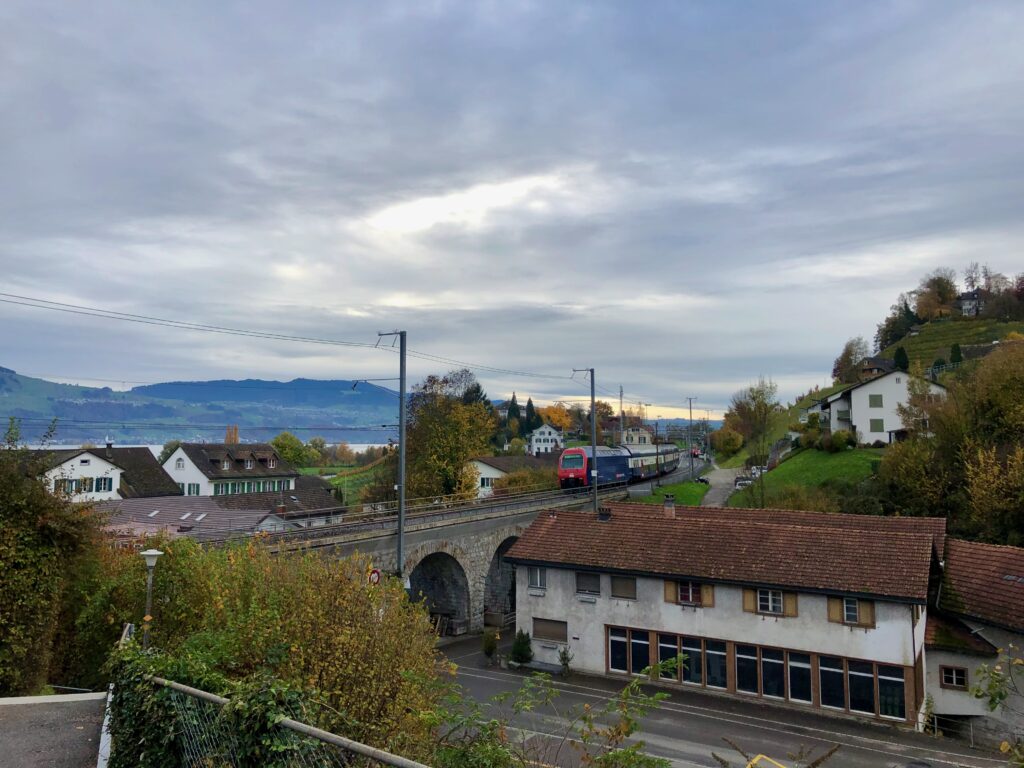
Unlike other sections of the trail, this section does not end at a train station, so, at this point we needed to decide how we wanted to take to get back home. We could continue on the trail until we reached the Stäfa, Wanne bus stop. (This is the recommended option from Swissmobility.) Or we could take the trail down the ravine and catch a bus at Stäfa, Metzg. We decided on the second option and headed down the ravine.
The ravine is lovely and the lower waterfall should not be missed. Even if you take the first option, you should walk down to the second bridge to see it.
Unfortunately, we just missed the bus at Metzg. Rather than wait a half hour for the next bus, we simply walked the extra 15 or so minutes down to the Stäfa train station. I didn’t take any pictures as we walked through town as it was already getting dark. We will pick up the next section of the trail in the ravine, anyway. Now that it is November, we really need to make sure we get on the trail earlier if we want to have enough day light. Looking forward to stage 8!
Leave a Reply