
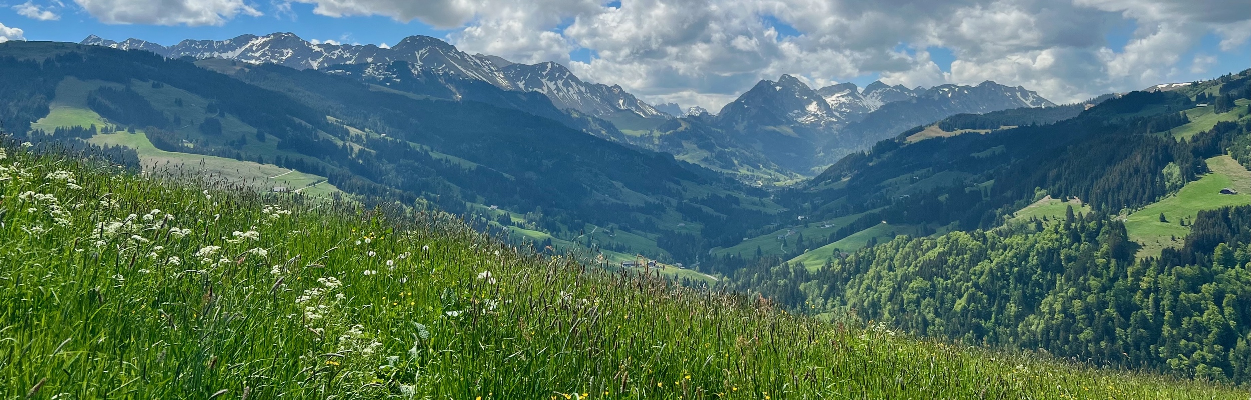
Stage 19 of the Alpine Panorama Trail (Route 3) is a 16 km hike with 660 m ascent and 740 m descent that goes from Guggisberg to Schwarzsee. It was good to get back to this trail after the winter break. Like the last two stages, this stage of the trail was inside the Gantrisch Nature Park and it was nice to see this area in springtime.
![]()
Detail Summary
| Where: | Guggisberg to Schwarzsee Cantons Bern and Fribourg, Switzerland |
| Train/Bus: | Zürich HB -> Guggisberg, Post – 1 hr 53 min Schwarzsee, Gypsera -> Zürich HB – 2 hr 24 min |
| What: | Alpine Panorama Trail – Stage 19 Guggisberg to Schwarzsee (SwitzerlandMobility) Yellow trail markers – Alpine Panorama Trail Route 3 |
| Skill: | Medium – About 4 hrs 50 min Length 16 km, Ascent 660 m, Descent 740 m |
Additional Info
| Alpine Panorama Trail – Stage 19 Guggisberg to Schwarzsee (SwitzerlandMobility) Trail Map (SwitzerlandMobility) Gantrisch Nature Park Guggisberg Tourism (german) Guggisberg webcam Restaurant Gypsera |
Photo Stories for Other Stages
| Stage 1 – Rorschach toTrogen Stage 2 – Trogen to Appenzell Stage 3 – Appenzell to Schwägalp Stage 4 – Schwägalp to Stein, SG Stage 5 – Stein, SG to Amden Stage 6 – Amden to Siebnen Stage 7 – Siebnen to Einsiedeln Stage 8 – Einsiedeln to Unterägeri Stage 9 – Unterägeri to Zug Stage 10 – Zug to Luzern Stage 11 – Luzern to Malters Stage 12 – Malters to Wolhusen Stage 13 – Wolhusen to Napf Stage 14 – Napf to Lüderenalp Stage 15 – Lüderenalp to Moosegg Stage 16 – Moosegg to Münsingen Stage 17 – Münsingen to Rüeggisberg Stage 18 – Rüeggisberg to Guggisberg Stage 19 – Guggisberg to Schwarzsee Stage 20 – Schwarzsee to Jaun |
Getting There
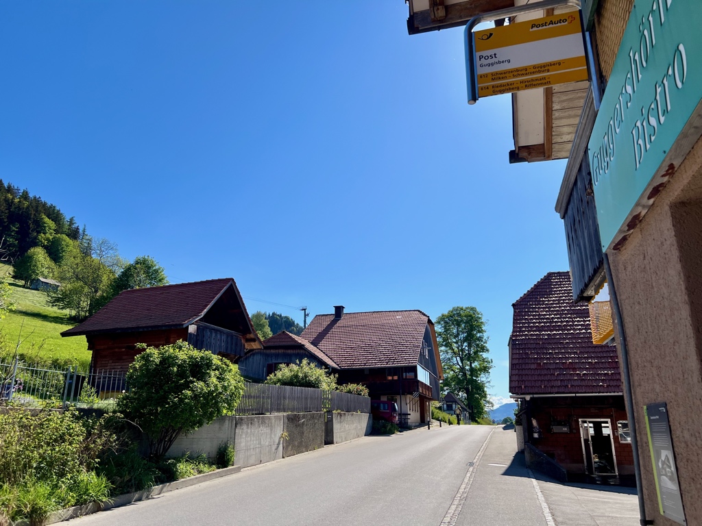
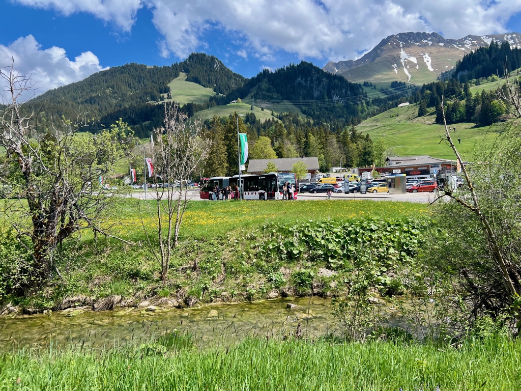
The Alpine Panorama Trail is best done with public transportation as each stage starts and ends at different points. This stage starts at the Guggisberg, Post bus stop and ends at the Schwarzsee, Gypsera bus stop.
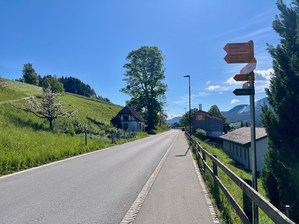
After arriving at the bus stop, we quickly found where we had left the trail back in November and were on our way.
The Trail
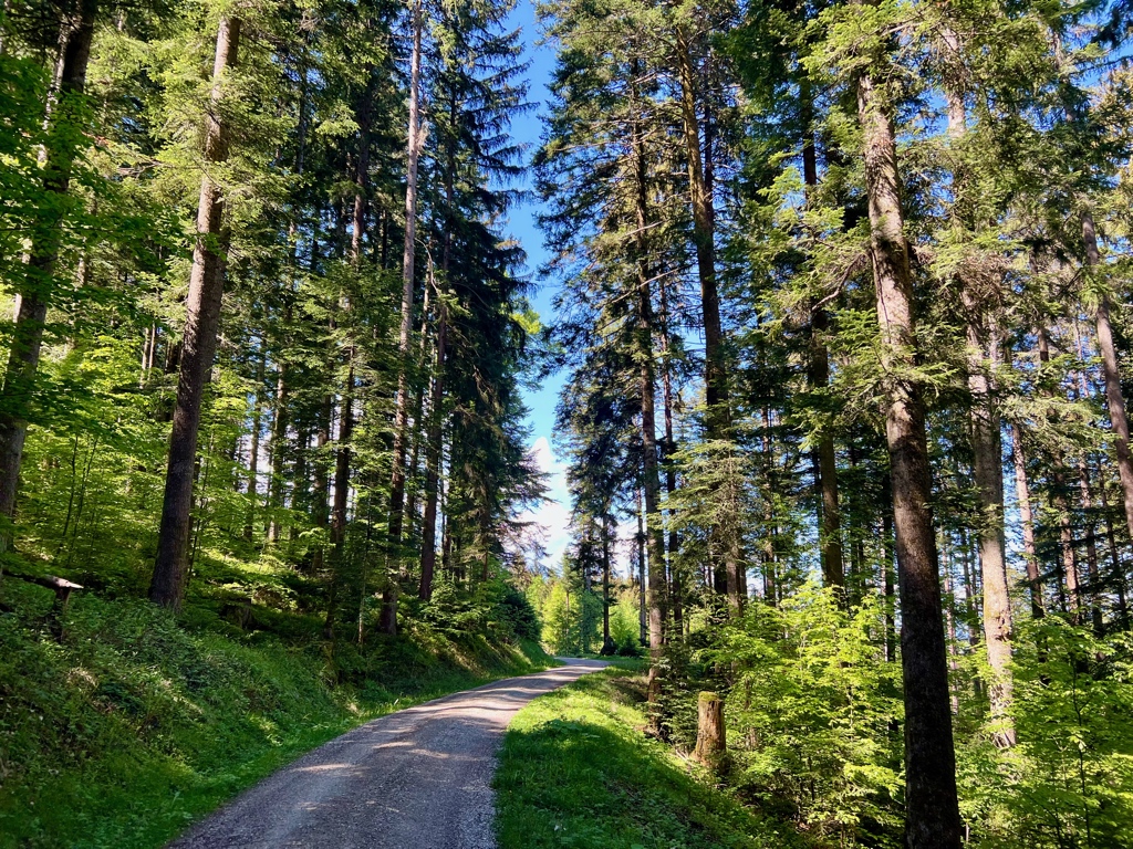
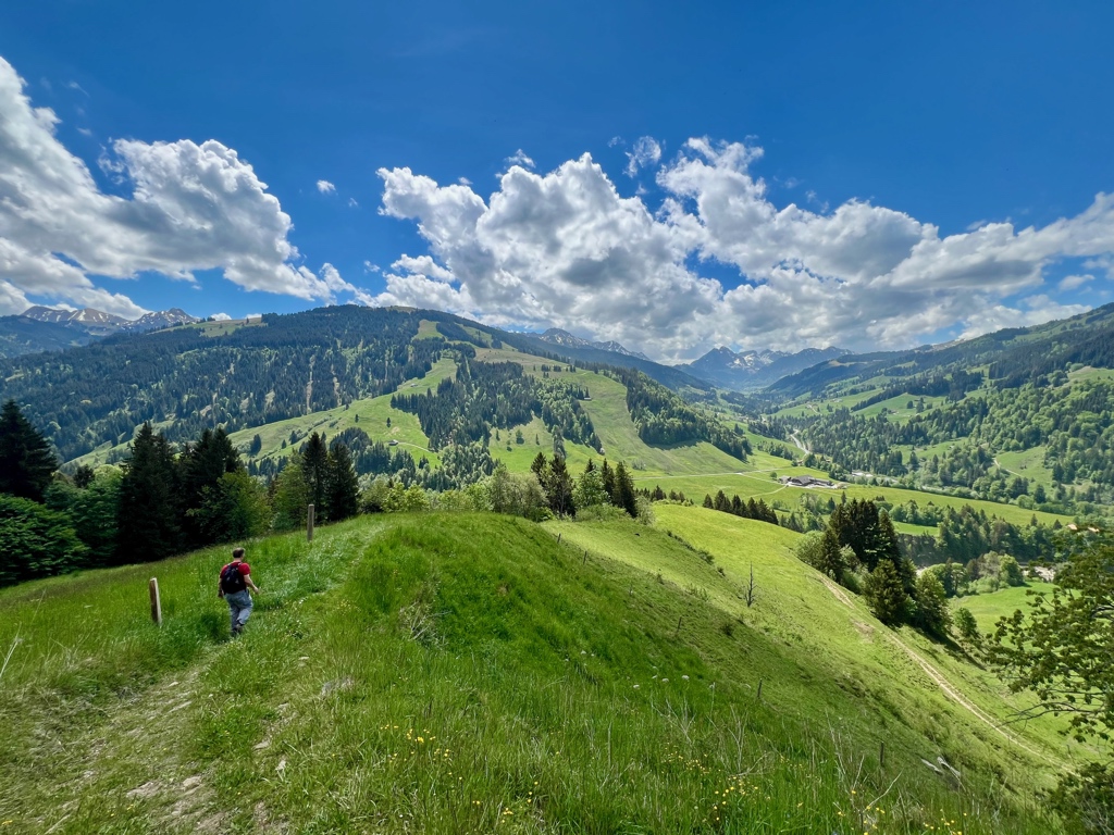
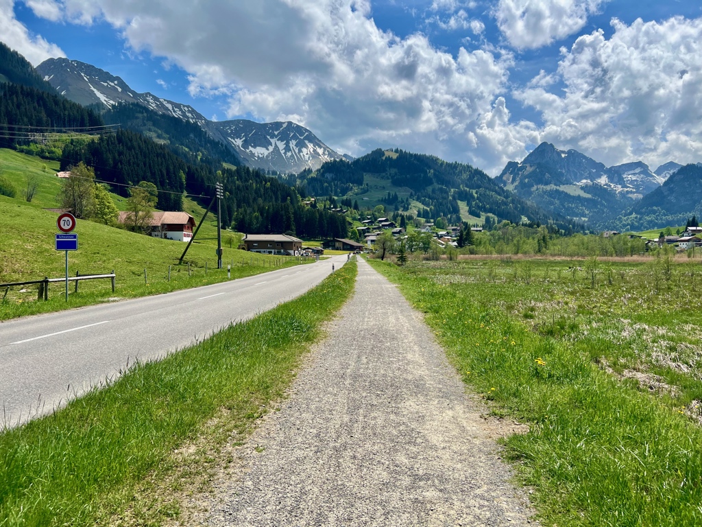
Guggisberg is a tiny town and within a minute or so we were hiking through the countryside down into a valley.
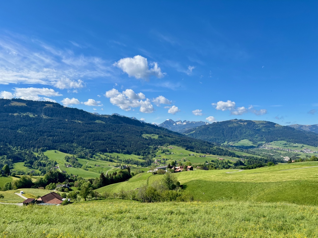
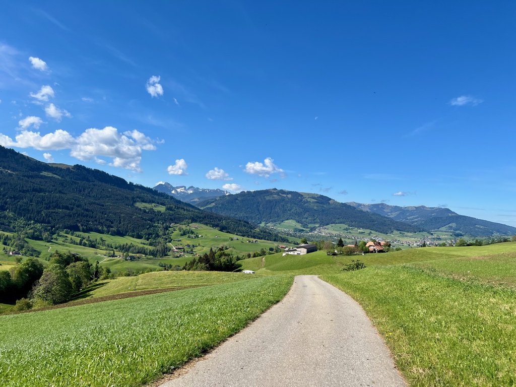
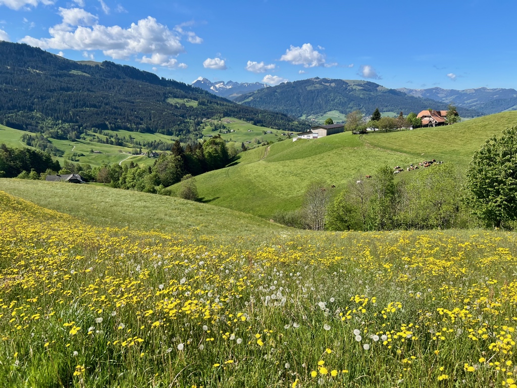
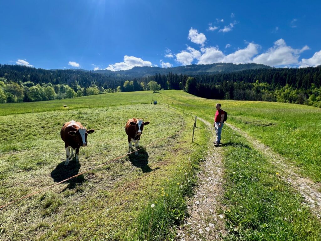
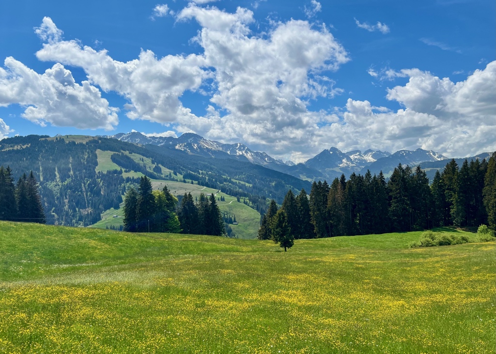
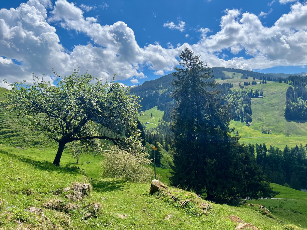
After crossing a small stream, we started to hike back up through farms and forest. At the top, we were rewarded with a classic alpine panorama view.
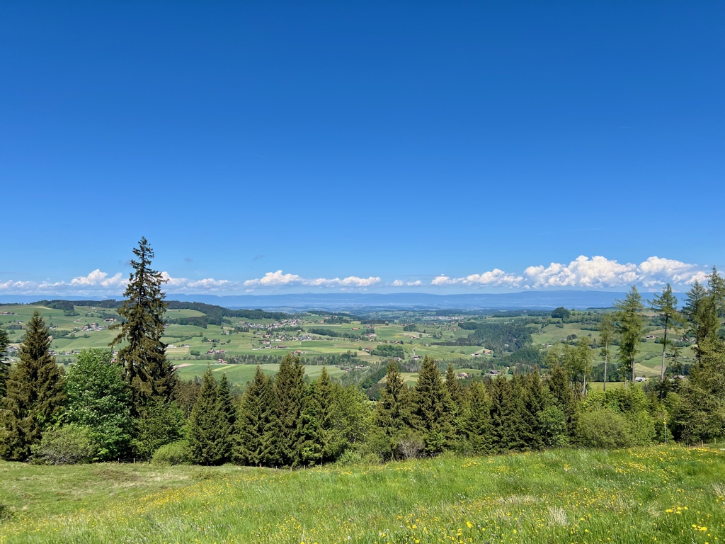
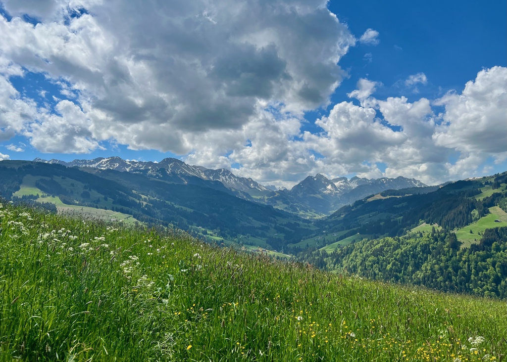
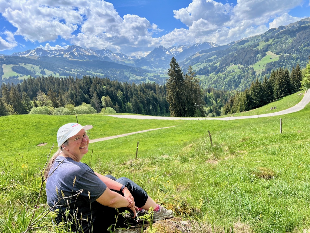
The next section had some really fantastic views. At about halfway through the hike, we stopped to sit on some rocks to have our picnic lunch.
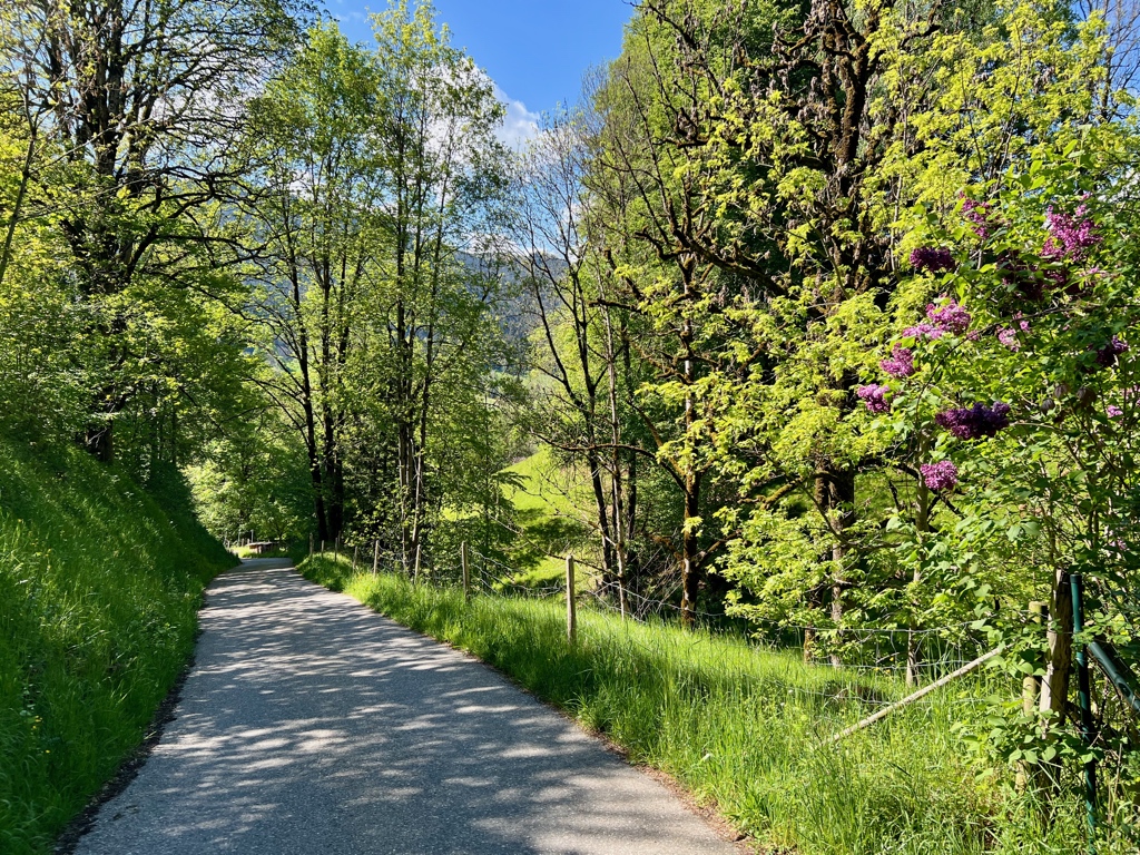
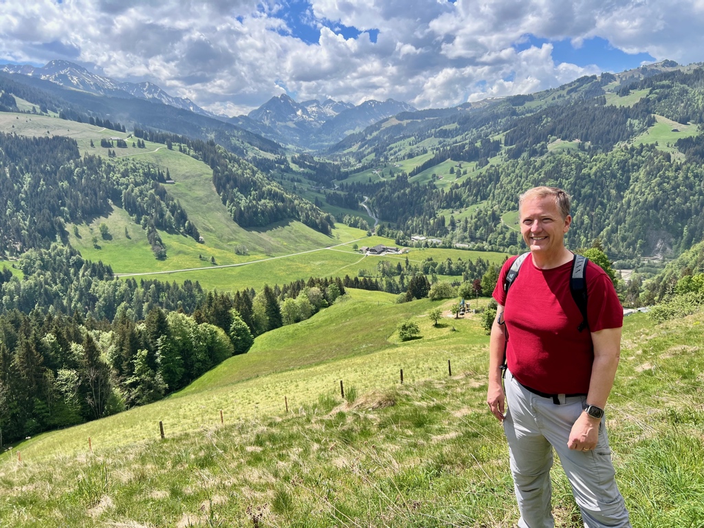
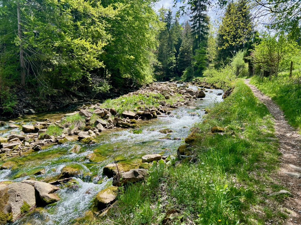
After lunch, the hike continued downhill into another valley until we crossed the Kalte Sense stream just before it met up with the Warme Sense stream.
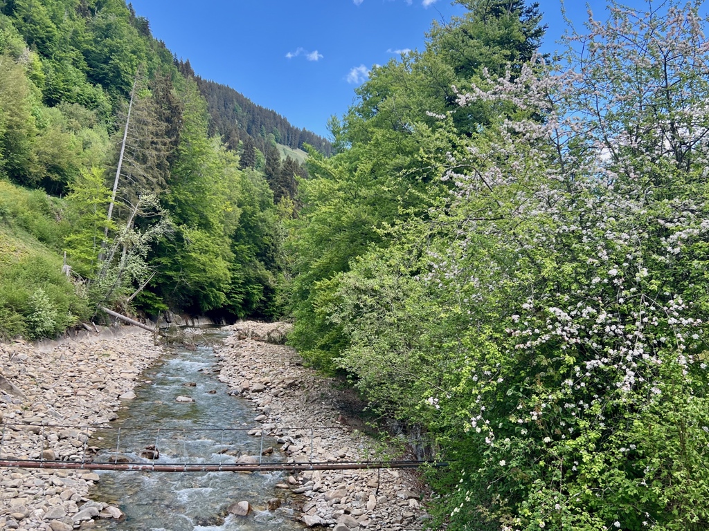
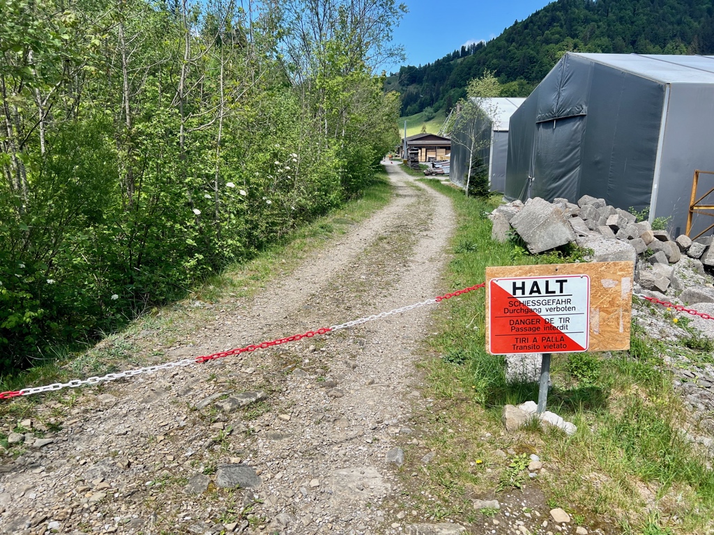
The path then followed alongside the Warme Sense. At Zollhaus, we were routed away from the stream as there was an active shooting range there. This happens fairly often in Switzerland (Ali on Switzerland has a good write up about biking across shooting ranges).
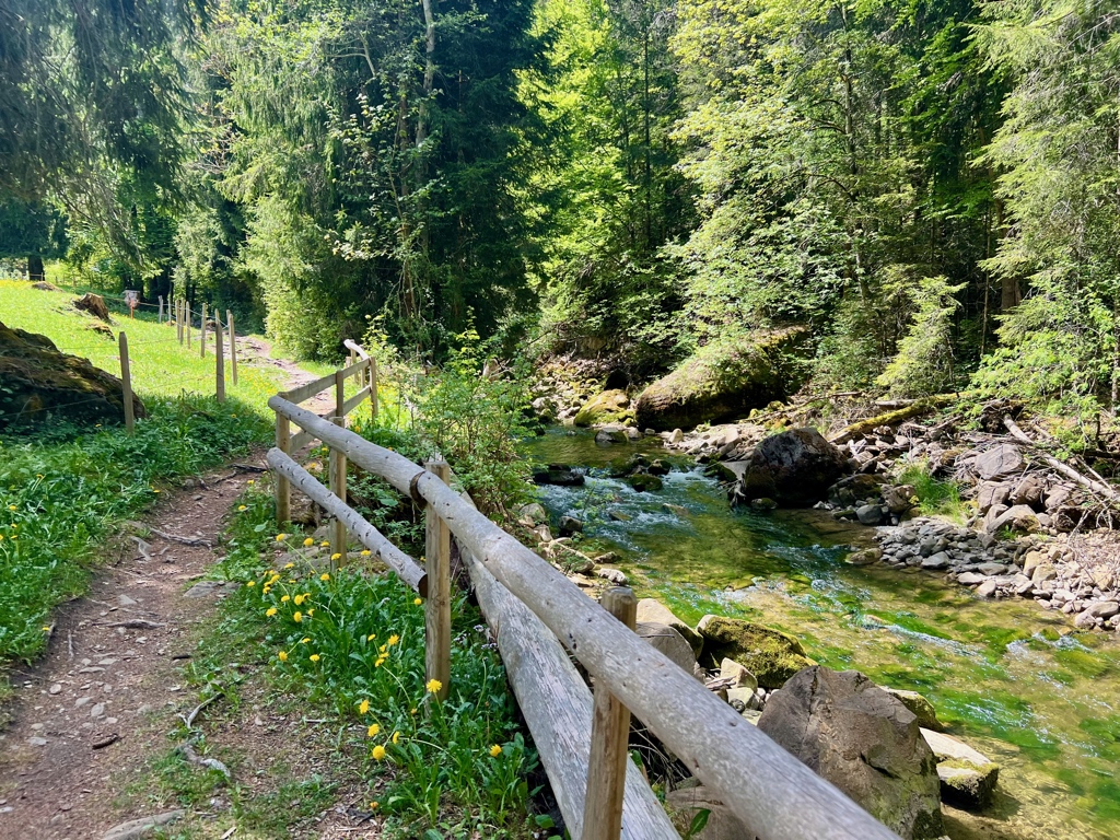
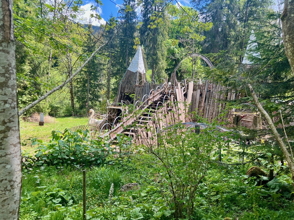
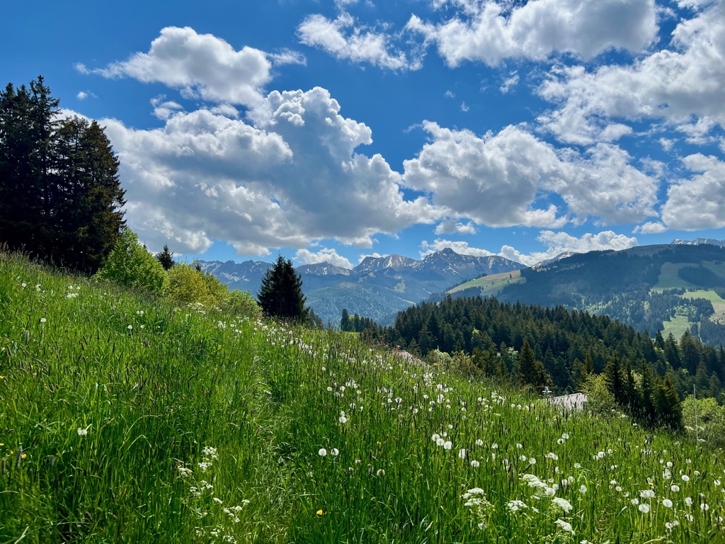
The hike along the Warme Sense, was really quite lovely. We passed the odd structure in picture three and it turned out to be a frame for a Winter Ice Palace (now closed permanently).
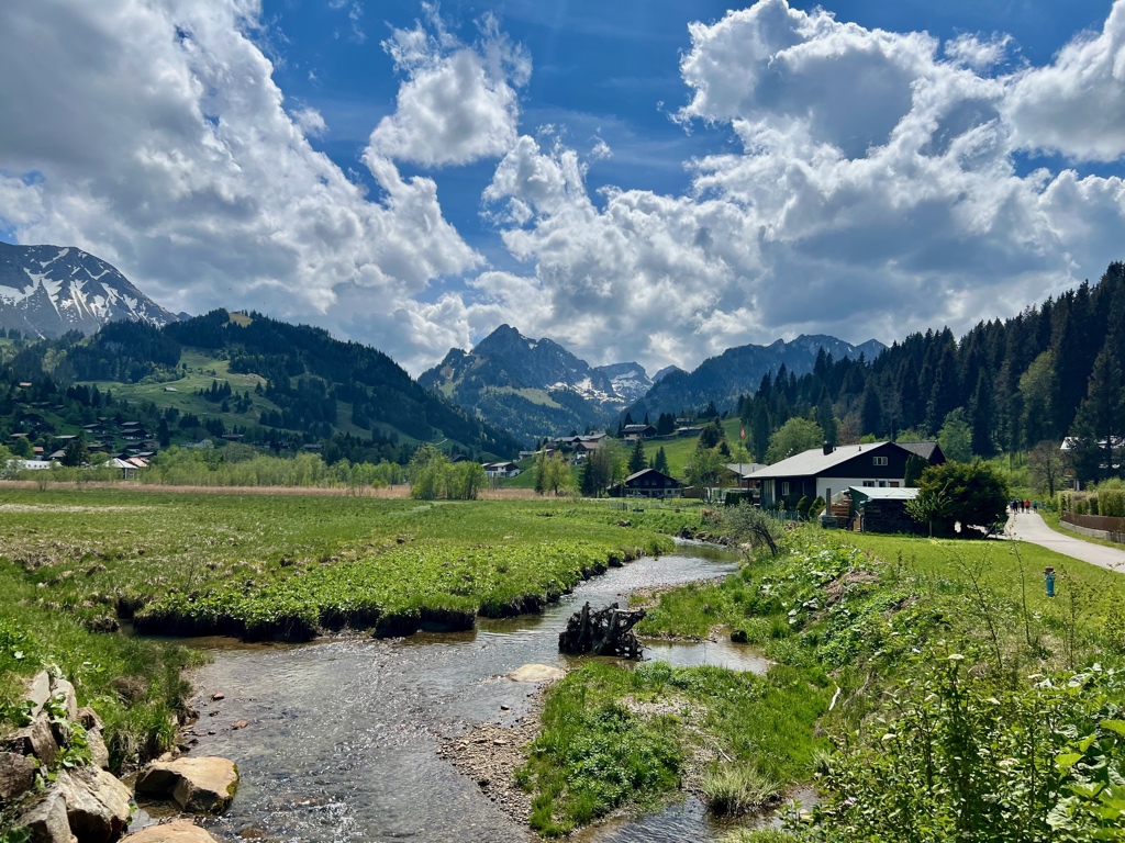
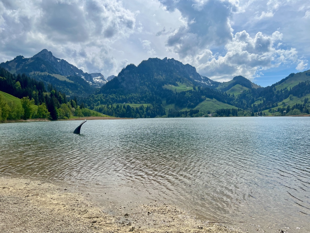
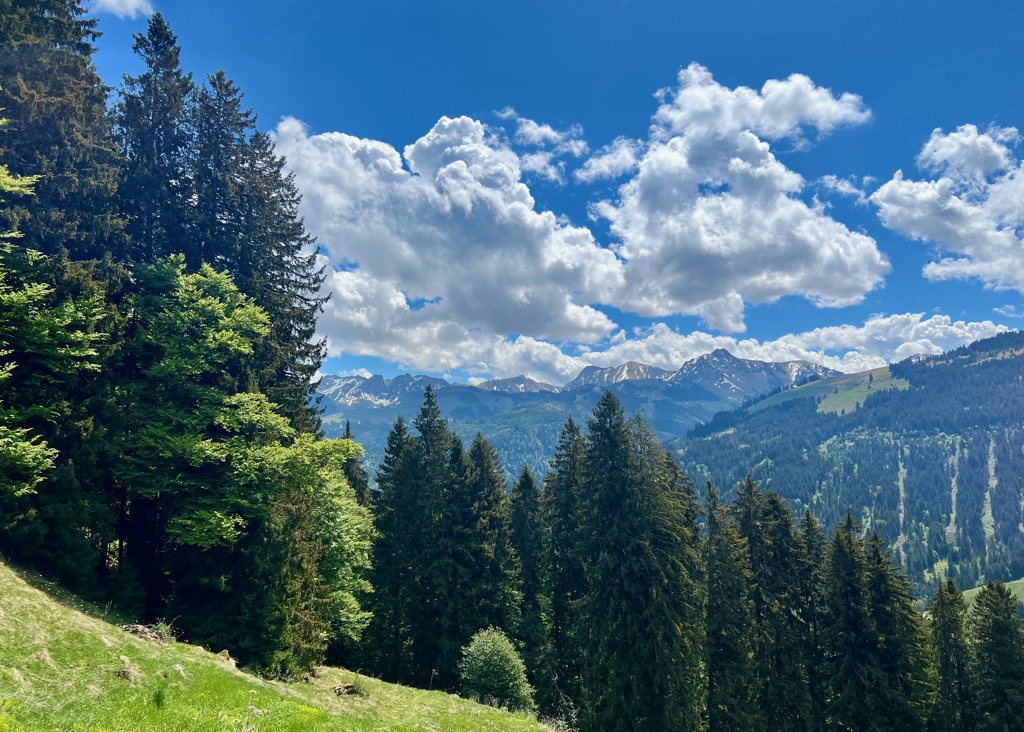
The mountain views just kept getting better and better as we approached Schwarzsee. And, when we arrived at Schwarzsee, the view over the lake was just stunning.
Getting Back
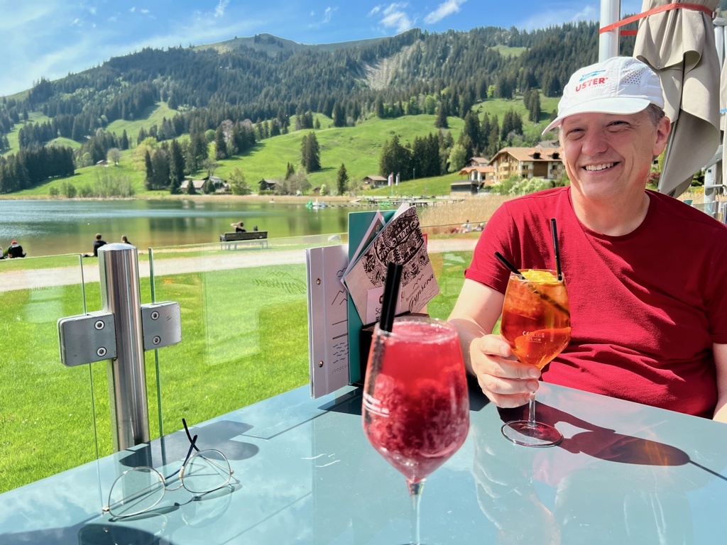
Although we could have run and caught the next bus home, we decided instead to have a drink on the Gypsera restaurant patio.
This was a really nice stage. I am looking forward to the next stage, but we are getting a little far from home for these to be day hikes. Possible, but it might be better if we start doing two stages at a time with an overnight. We’ll see how the planning works out.

Leave a Reply