
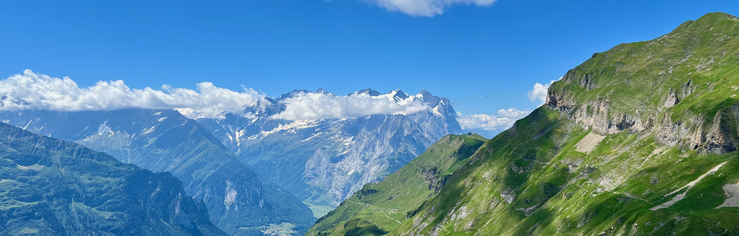
This hike is 7 km long with 541 m of ascent and 237 m descent and starts in the small resort village of Melchsee-Frutt and ends at the Alpen Tower at Planplatten. The first half of this hike is a nice workout with a climb up to the top of a ridge and the second half is an absolutely amazing high-elevation trail out to a stunning viewpoint where there is a restaurant and cable car. The ridge section is part of several longer trails that I have been interested in doing but found those trails for various reasons (length, transportation logistics) to be more challenging than I want to tackle. This shorter version got me to the great views and didn’t require any transport reservations. For those interested in the longer hikes, see the links in the additional info section below.
Detail Summary
| Where: | Melchsee‐Frutt to Planplatten (Alpen Tower) Canton Obwalden and Canton Bern Switzerland |
| Train: | Zürich HB -> Stöckalp – 2 hr 8 min Cable Car From Stöckalp -> Melchsee-Frutt Cable Car from Planplatten (Alpen Tower) -> Hasliberg Reuti (Gondolbahn) Hasliberg Reuti (Gondolbahn) -> Zürich HB – 2 hr 32 min Cable car tickets must be purchased separately from your SBB train ticket. Tickets can be purchased online or at the cable car stations. |
| What: | Hiking the Melchsee-Frutt to Planplatten (SwissMobility) Red/White mountain trail, rocky dirt path Melchsee‐Frutt –> Distelboden/Bonistock cable car valley station –> Balmeregghorn –> Planplatten |
| Skill: | Medium – About 2.5 hrs Length 7 km, Ascent 541 m, Descent 237 m |
| Cost 2026: | Cable car from Stöckalp to Melchsee-Frutt One way adult full rice: 25 CHF With SBB half-fare card or GA card: 12.50 CHF Cable Car from Alpen Tower to Reuti (Hasliberg) One way adult full rice: 38 CHF With SBB half-fare card or GA card: 19 CHF |
Additional Info
| Melchsee-Frutt Interactive Summer Trail Map Trail Map – Melchsee-Frutt to Planplatten (SwissMobility) Meiringen – Hasliberg Alpen Tower Suggested Longer Routes that include the ridge section of this hike: Horizontenweg (German) – From Alpen Tower to Engstlenalp Route 1 – Stage 9 Engstlenalp to Meiringen (SwissMobility) For these longer hikes you will need to use the Engstlenalp Bus to get to the start or end of the hike. This is a private bus and the SBB GA or Half Fare cards are not accepted. It is also recommended that you make a bus reservations one day in advance. SwissFamilyFun has a good writeup about the Horizontenweg and the bus reservation process. Another option is to hike from Alpen Tower to Tannalp. From Tannalp you can take the Frutt Zug back to the Melchsee-Frutt gondola to return home. |
The Start
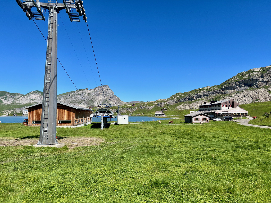
This is a one-way hike and best done with public transportation. After getting off the cable car in Melchsee-Frutt, we made our way down to the Distelboden/Bonistock cable car valley station. We walked towards Melchsee-Frutt Dorf and then along the lake until we passed the bottom of the panorama lift and the small church.
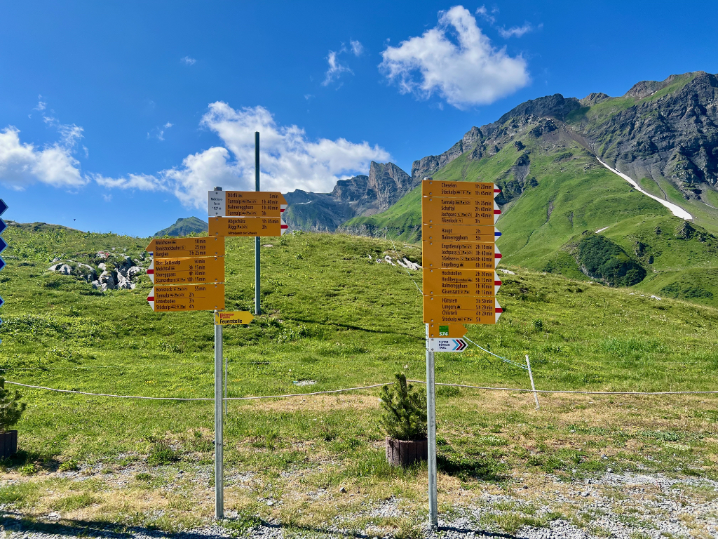
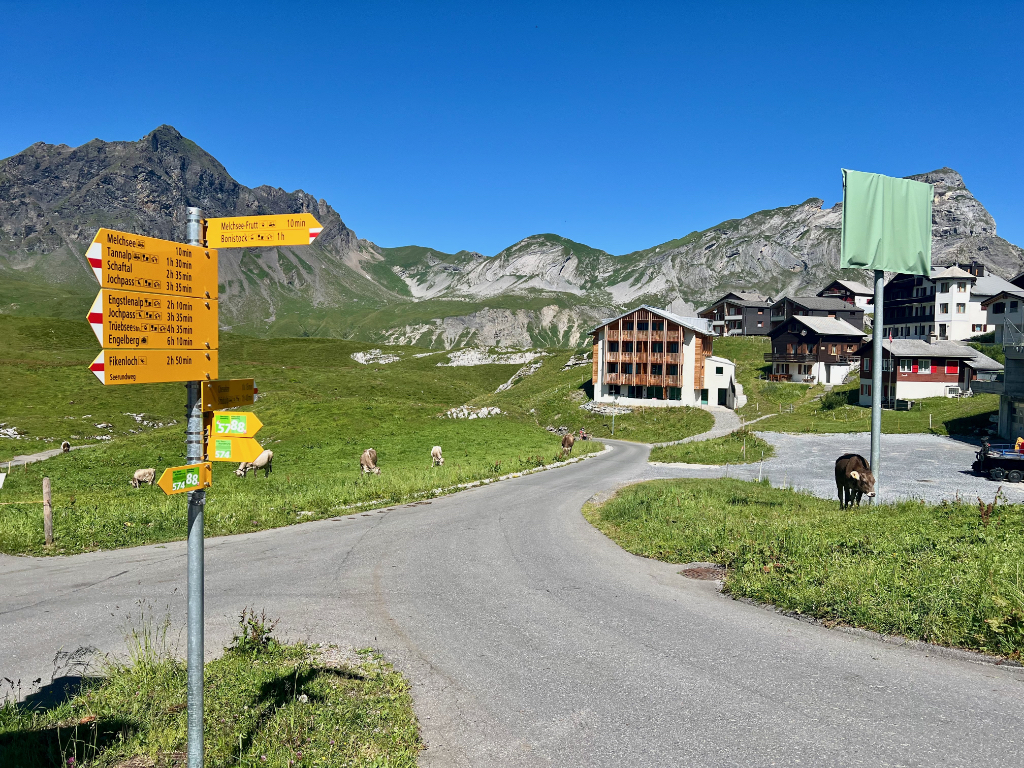
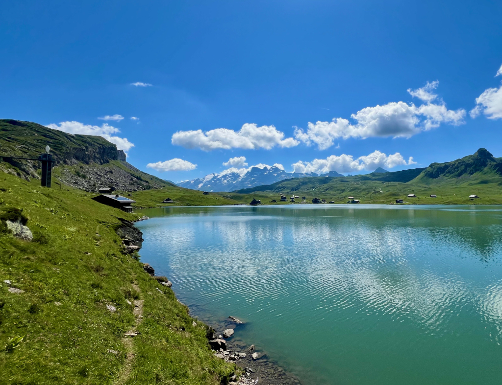
When we reached the bottom of the Distelboden chair lift, we had a decision to make for how we wanted to start the hike.
The Trail
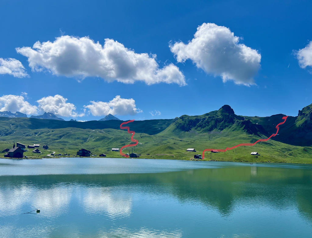
From the lake shore, the first part of the trail goes up to the top of the ridge. There are two trails that go up and each of them are underneath the ski lifts. I’ve drawn the trail options in red in the first picture below. When we did the Erzegg Roundtour, we hiked up the trail on the right, so this time we decided to take the trail on the left. The trail to the right would be a slightly shorter hike but also a slightly steeper trail up. Both are good.
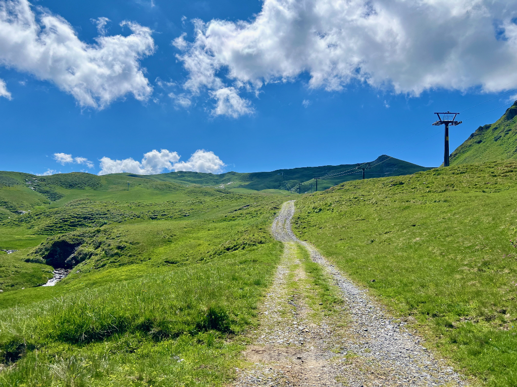
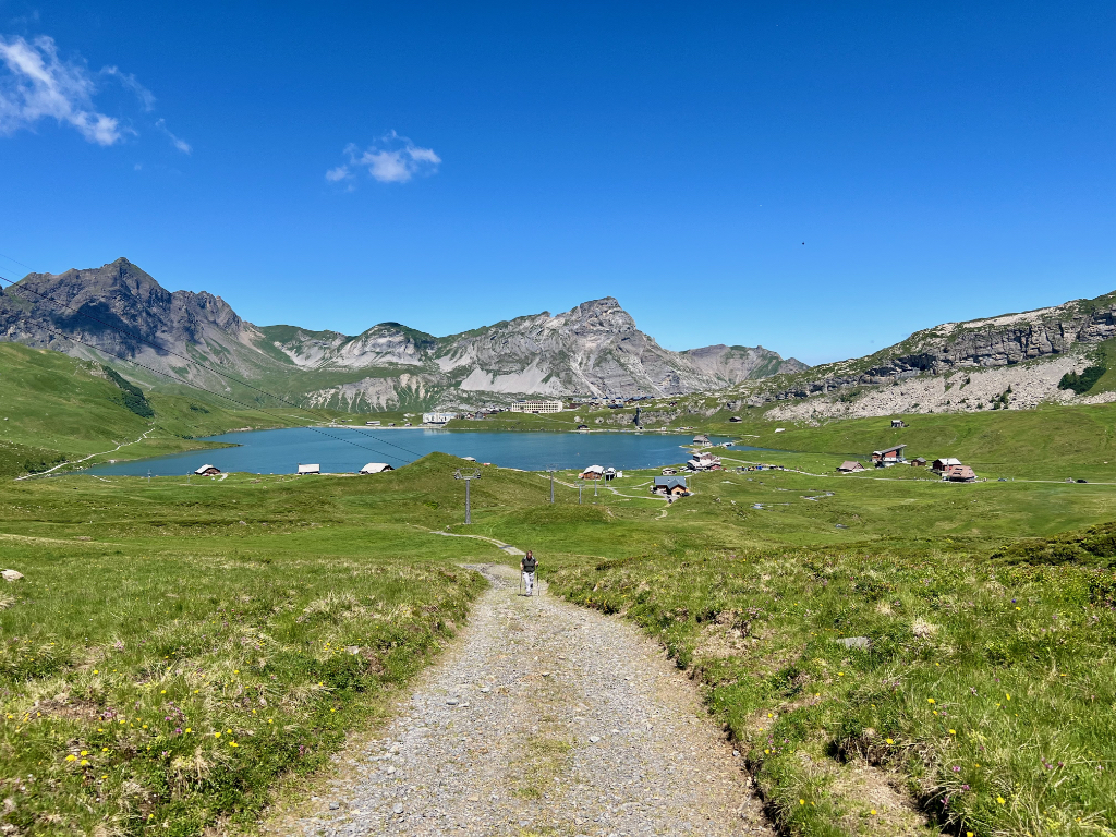
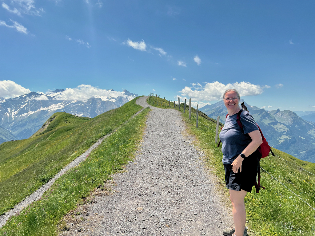
When we were near the top, we passed the top of the ski lift and shortly got our first peek over the top of the ridge. At the top of the ridge, we intersected the ridge trail and here, we took a right. This ridge trail is part of National Route 1, the Via Alpina. We’ve completed Route 2, and we are working on Route 3, but I think we are only ever going to do select sections of Route 1 as the full trail is more difficult than I think I can do. This short bit of it, though, is really fantastic! (I’ve included some information about longer trails that include this ridge section in the Additional Info section above.)
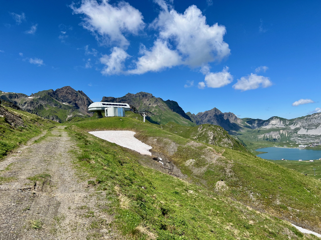
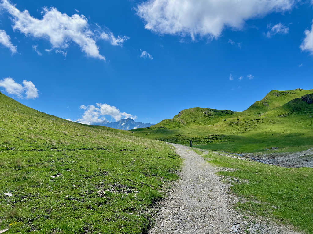
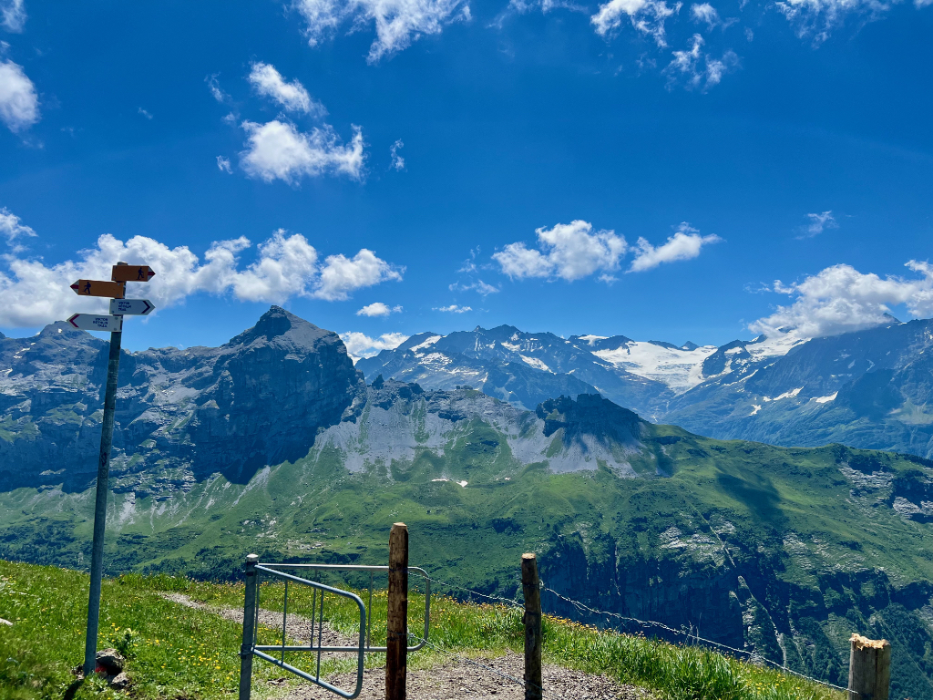
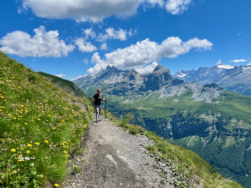
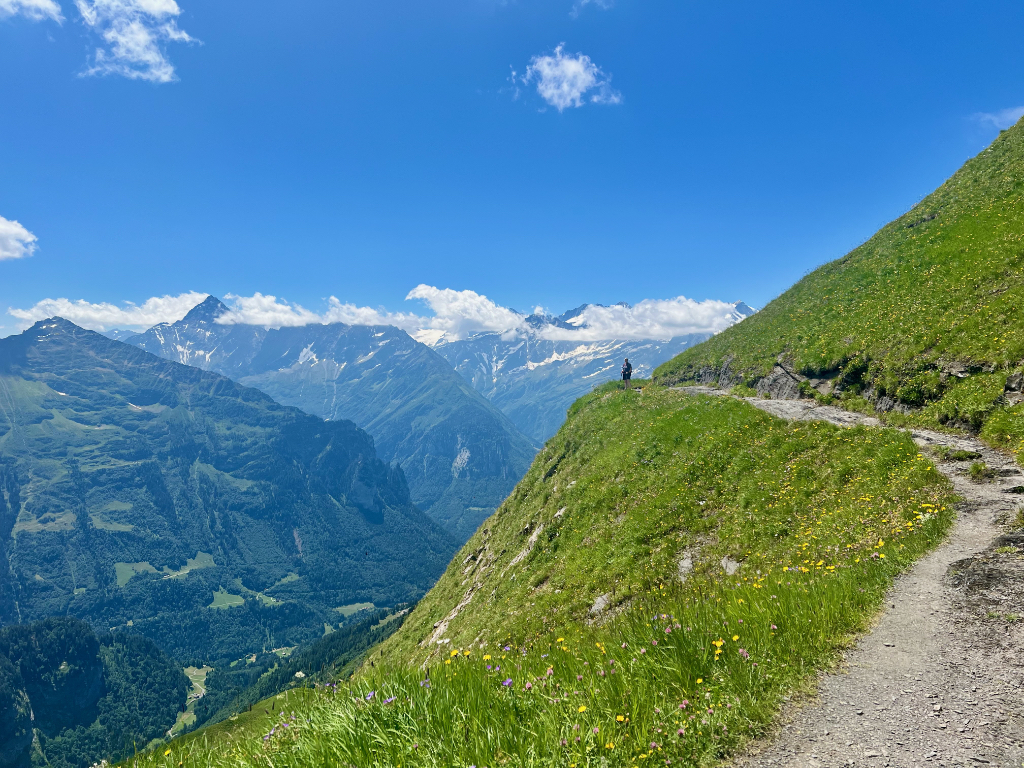
Along the ridge, there are fantastic views here in every direction and the views from the top of the Balmeregghorn were particularly spectacular. The view back towards Melchsee-Frutt in the fourth picture below is down the valley where the other trail we could have taken up to the ridge is.
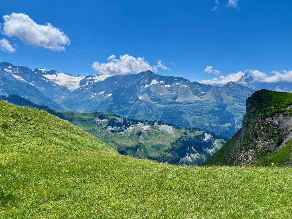
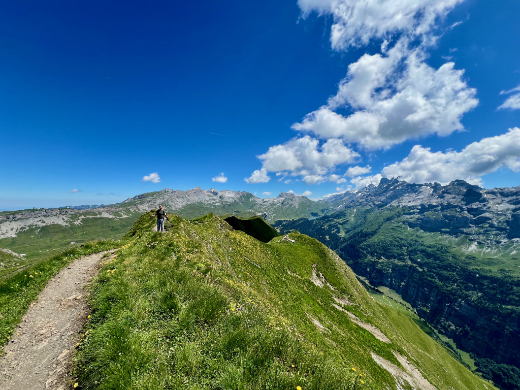
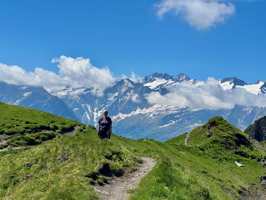
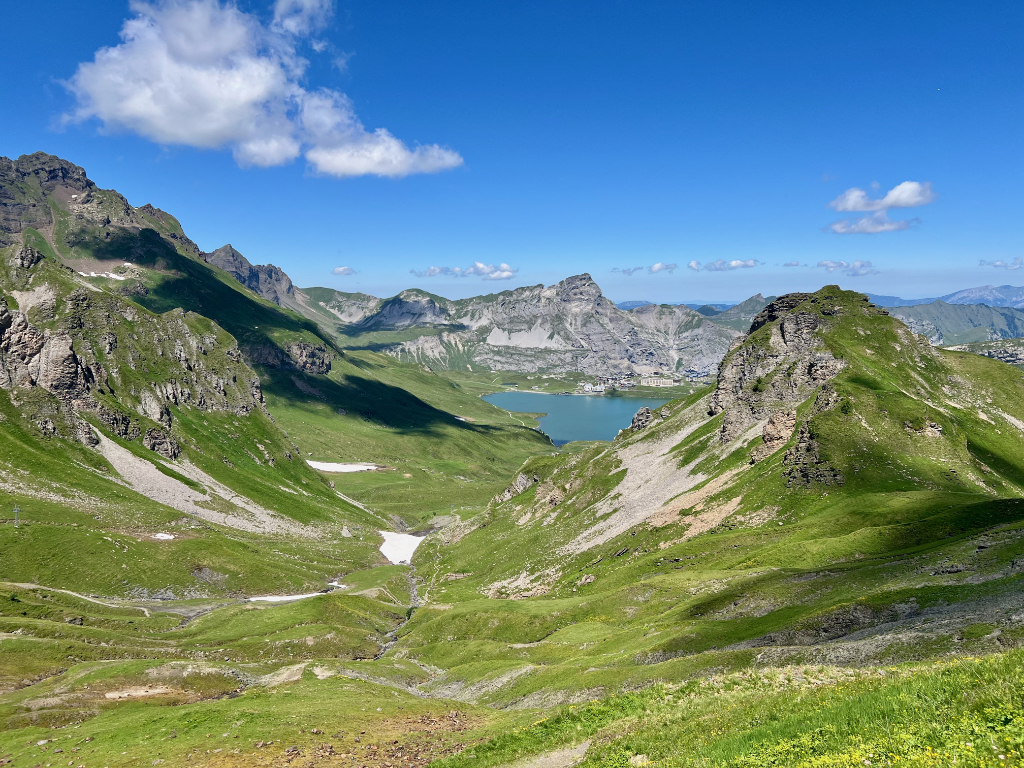
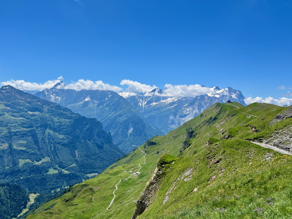
Shortly after passing the intersection with the other trail up from Melchsee-Frutt, we paused at a point where we could look ahead and see the entire trail out to the Alpen Tower at Planplatten in front of us. The Alpen Tower is the teeny tiny building on the lower green peak in the middle of pictures two and three below and if you look carefully, you can see the trail on the same level along the side of the mountain that we hike to get there.
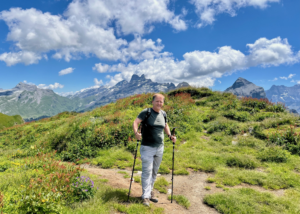
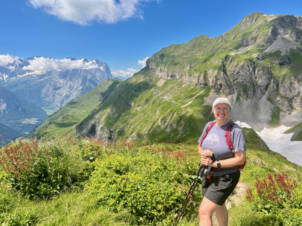
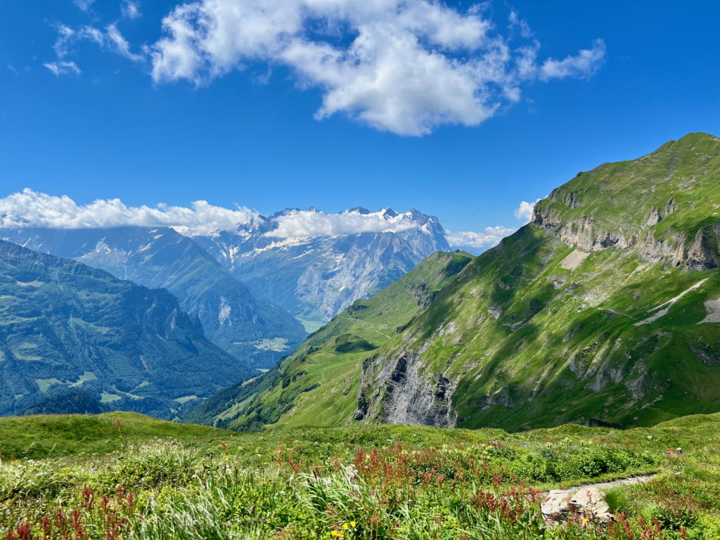
It took about an hour to hike out to the Alpen tower from that point (Balmeregghorn). Fabulous views along the entire way! There was even some snow still in a shaded valley.
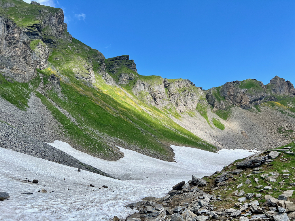
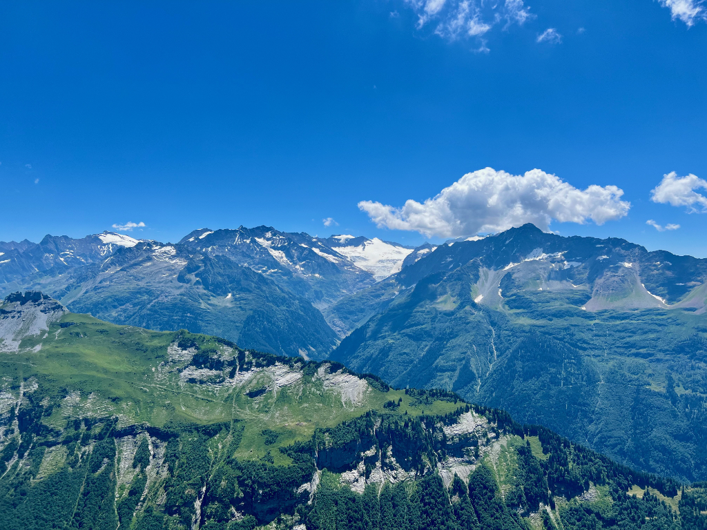
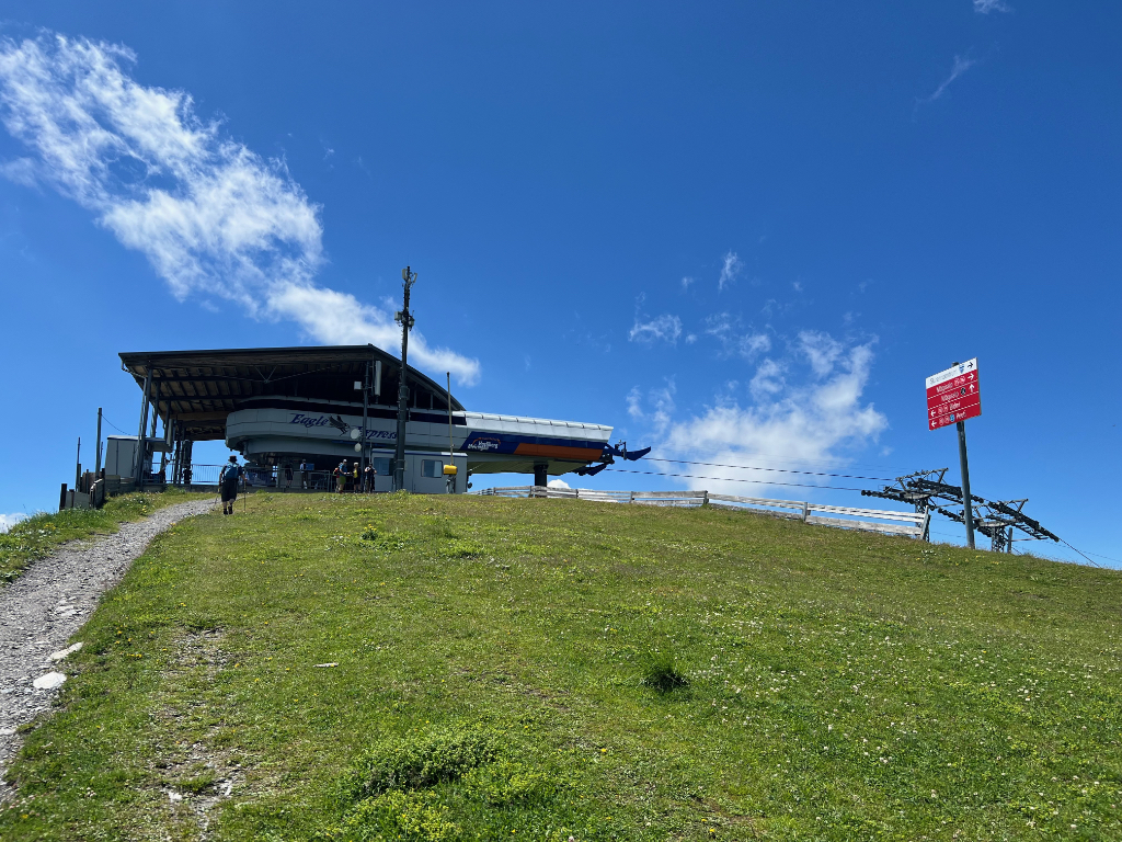
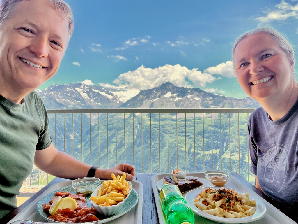
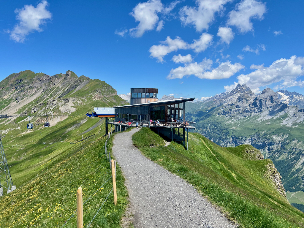
When we reached Alpen Tower, we stopped and had some lunch at the self-service restaurant. The food was pretty good, better than other similar places we’ve tried.
After lunch, we walked out to the viewpoint just past the Alpen Tower.
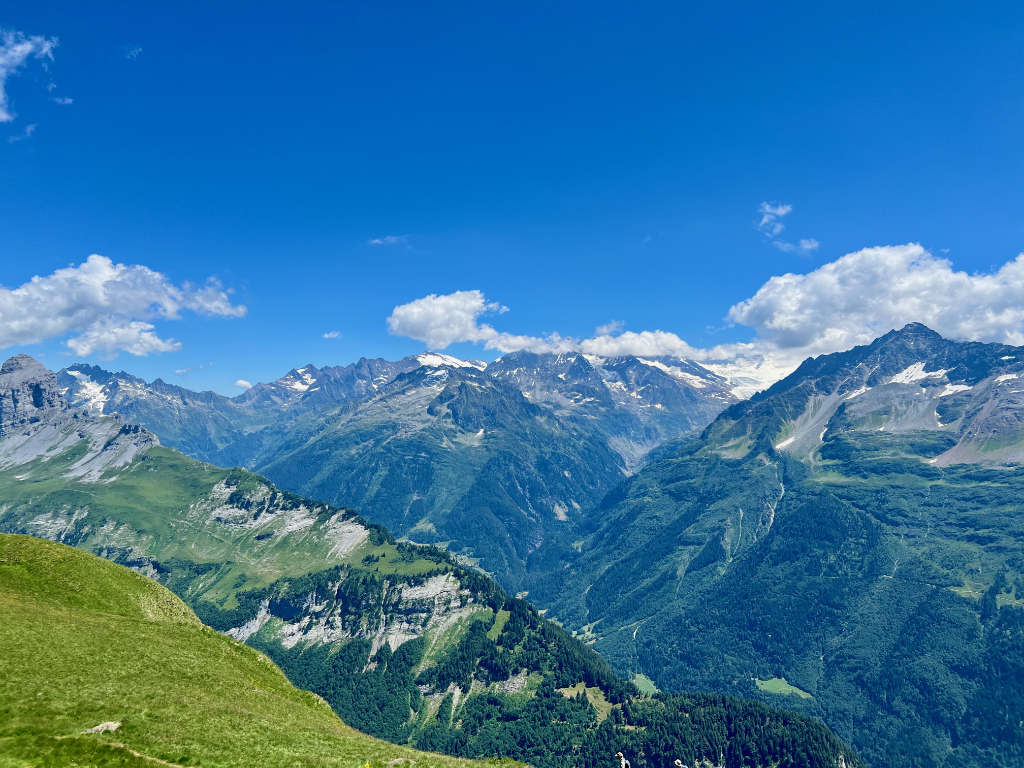
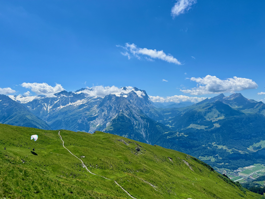
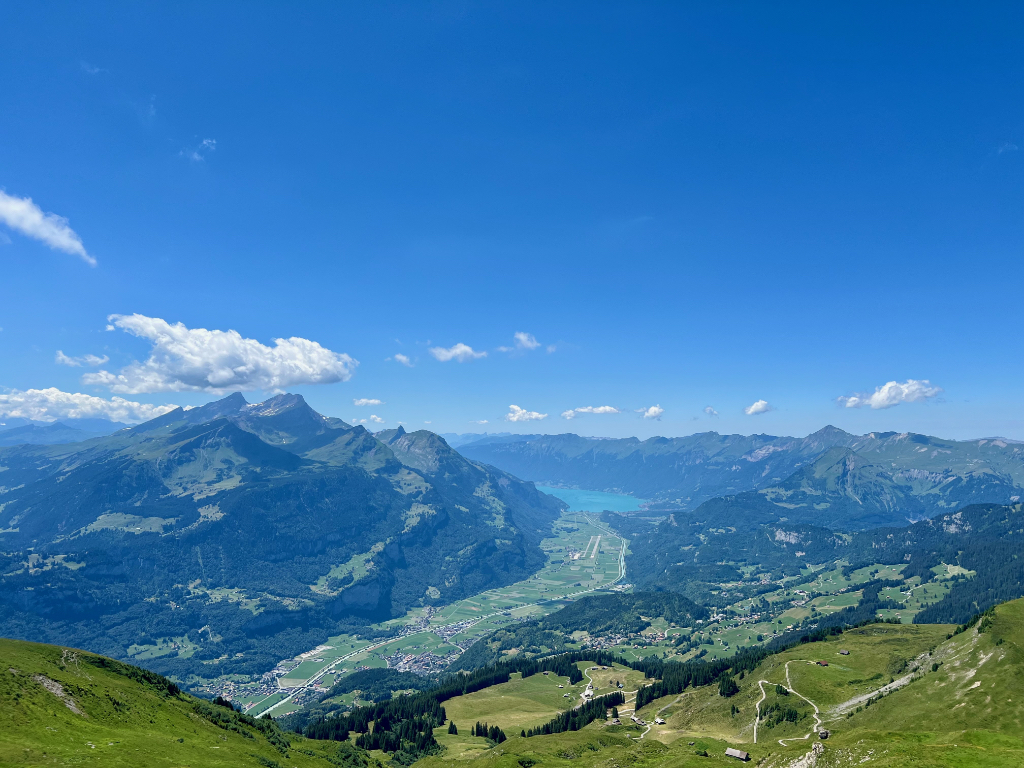
It was definitely worth taking some time to go to the viewpoint before heading down. And If you aren’t a hiker, I recommend doing a roundtrip on the gondola up to the Alpen Tower for lunch with a view.
Getting Back
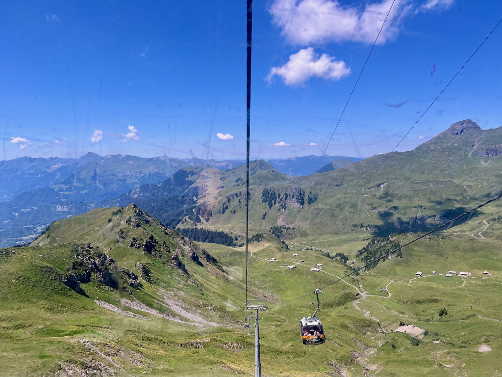
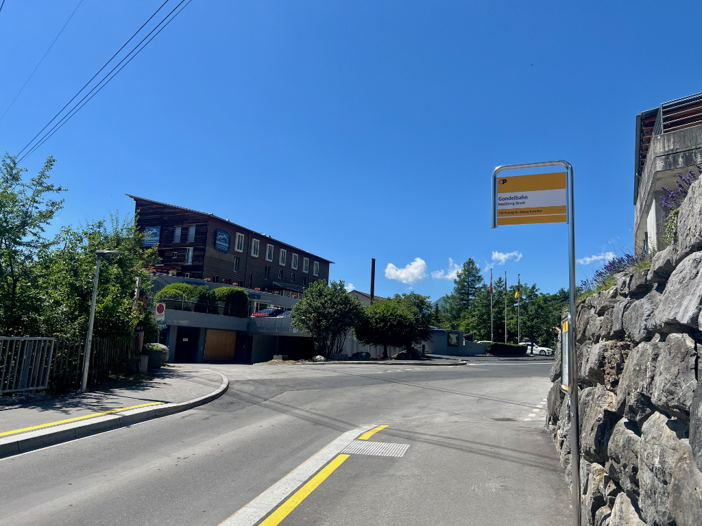
After admiring the views, we walked back to the Alpen Tower and purchased our gondola tickets for the ride down to Reuti, then boarded the gondola to start our trip home.
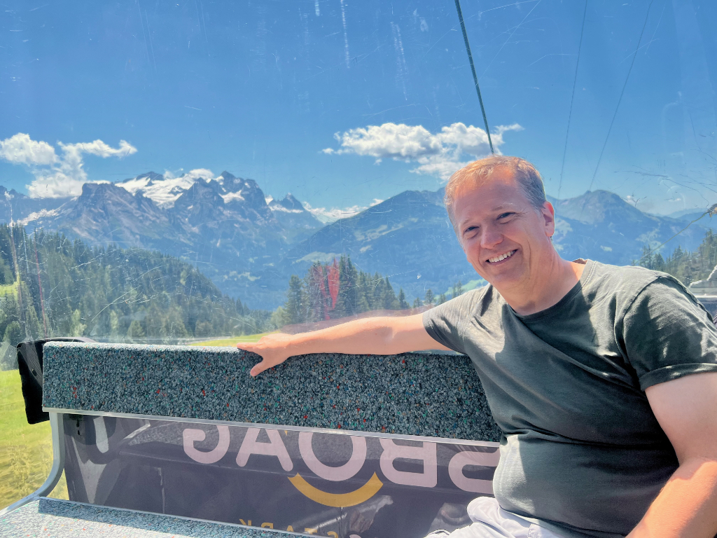
I really enjoyed this hike. It was a little on the pricey side but the views were amazing and it was neat to do a little bit of National Route 1. I fully recommend this hike.
Leave a Reply