
Category: Hiking
All hiking routes are in Switzerland unless otherwise specified in the title of the post.
-

The hiking route from Quinten to Weesen along Lake Walen is 11 km with about 400 m of ascent/descent and includes a viewpoint of one of the tallest in Switzerland (Seerenbach Falls).
-

A summary of hiking the complete Dreiland Wanderweg, Chemin des Trois Pays, or Three Country Trail (Trail 67), a 43 km long, three-stage trail that explores the border triangle between Switzerland, Germany, and France.
-

Stage 3, the last stage of the Dreiland Wanderweg, is 9 km with 80 m ascent and 100 m descent and goes from Haltingen, Germany back to the start of the hike at Basel, Schifflände.
-

Stage 2 of the Dreiland Wanderweg is 19 km with 640 m ascent and 610 m descent and goes from Riehen, Hörnli Grenze in Switzerland to Haltingen, Germany.
-

The Zürich-Flughafen Rundweg trail is a 17 km long trail with 110 m ascent/descent that makes a complete loop around the Zürich Airport.
-
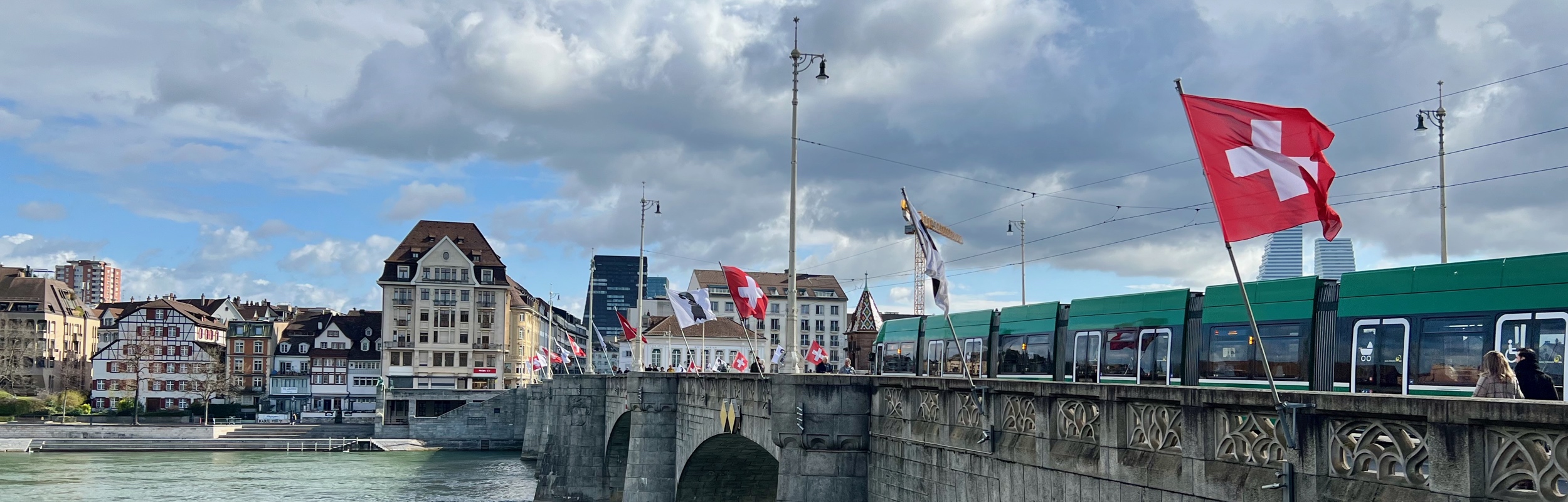
Stage 1 of the Dreiland Wanderweg or Three Country Trail (Trail 67) is 16 km with 200 m ascent and 190 m descent and goes from the Schifflände boat port in Basel to the Riehen, Hörnli Grenze bus stop on the border with Germany.
-

Winter hiking route 191, the Vorder-Höhi-Weg, is a 7 km with 380 m ascent/descent groomed snow hiking trail that starts at the Amden, Arvenbüel bus stop, heads up to the Vorder Höhi and then returns on the same path.
-

The Tannalp winter hiking trail is 9 km long and makes a loop from Frutt Dorfli through the upland plateau past the Tannalp reservoir to the small village of Tannalp and back. With only 220 m of ascent and descent, this is fairly easy hike is a great way to enjoy the winter wonderland landscape.
-

Stage 3 of the Alpine Panorama Trail (Route 3) is a 16 km trail with 1150 m ascent and 580 m descent that goes from Appenzell to Schwägalp.
-

Stage 2 of the Alpine Panorama Trail (Route 3) is a 13 km trail with 560 m ascent and 700 m descent that goes from Trogen to Appenzell.
-

Stage 1 of the Alpine Panorama Trail (Route 3) is a 18 km trail with 1150 ascent and 660 descent that goes from Rorschach to Trogen.
-

While in the Jungfrau region, we took the train up to the highest train station in the world at the Jungfraujoch and we went on two short hikes – a loop hike from Grindlewald First to the Bachalpsee, and a point-to-point hike from Kleine Scheidegg to Alpiglen.