
The Waldrandweg is a 12 km hike with 200 m ascent and 420 descent that goes from Oberdorf SO to Grenchen. Along the way, this trail passes an old quarry where a large number of dinosaur tracks can be seen. The best vantage point to see them is from the viewing platform provided where you will also find a number of information signs about the tracks and how and when they were formed. While the dinosaur tracks were the star attraction of this hike, the lovely views over the Aare valley to the distant Alps and the shaded forest path also made this hike worth doing.
Detail Summary
| Where: | Oberdorf SO to Grenchen Canton Solothurn, Switzerland |
| Train: | Zürich HB -> Oberdorf SO – 1 hr 17 mins Grenchen, Süd – > Zurich HB – 1 hr 6 min |
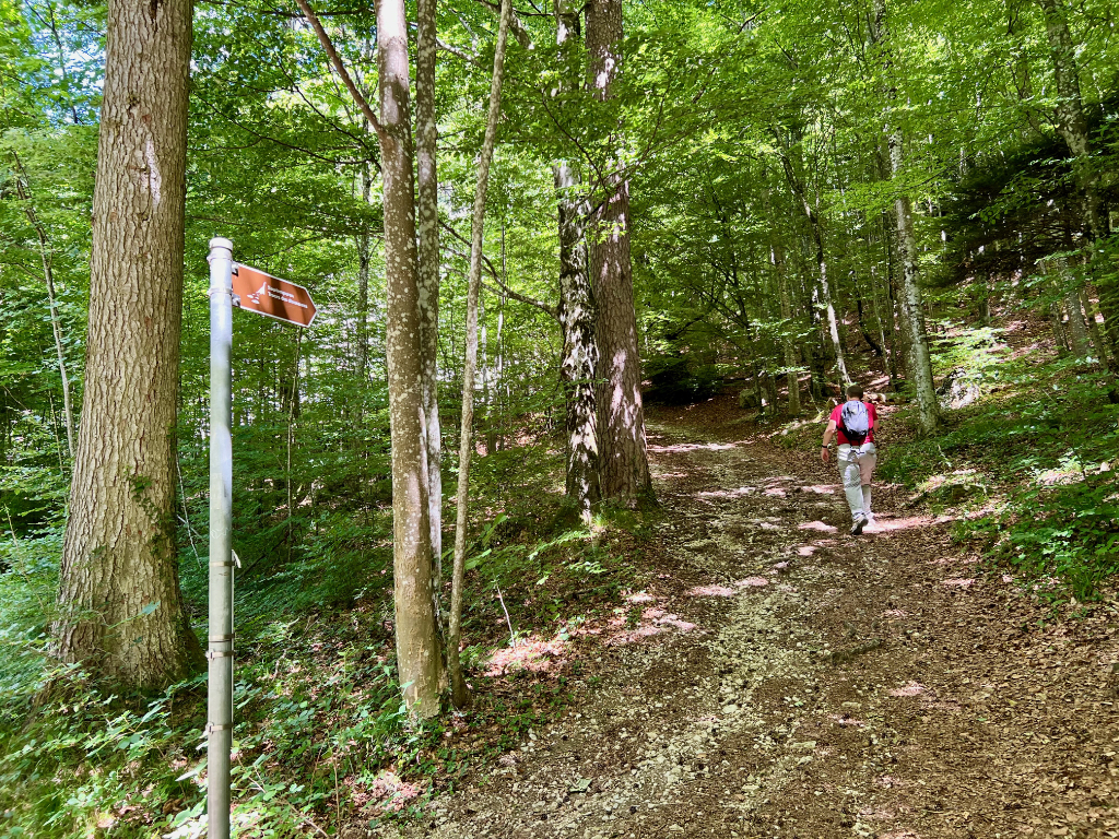
| What: | Oberdorf-Grenchen-Waldrandweg (SwissMobility) For the main trail , follow the yellow trail markers with a green square for trail 501 Waldrandweg always going in the direction of Grenchen. For the short detour to the dinosaur footprint viewing platform, at the quarry, follow the brown signs marked Sauerierspuren. |
| Skill: | Easy- About 3 hrs Length 12 km, Ascent 200 m, Descent 420 m |
| Cost 2026: | No additional costs beyond public transport. |
Additional Info
| Oberdorf-Grenchen-Waldrandweg (SwissMobility) Trail Map (SwissMobility) Naturmuseum Solothurn Naturmuseum Solothurn flyer about the dinosaur tracks (german) Hiking in Solothurn and Things to do in and around Solothurn (Ali on Switzerland) |
Getting There
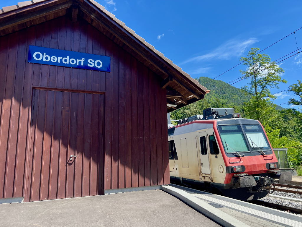
This is a point-to-point hike, so best done with public transportation. This hike starts at the Oberdorf SO, train station. After getting off the train, we headed towards the cable car station, however we would not be taking the cable car today. Just to the left of the base station is a mountain bike trail, and then to the left of the biking trail is the hiking trail (marked with a yellow sign) we were looking for.
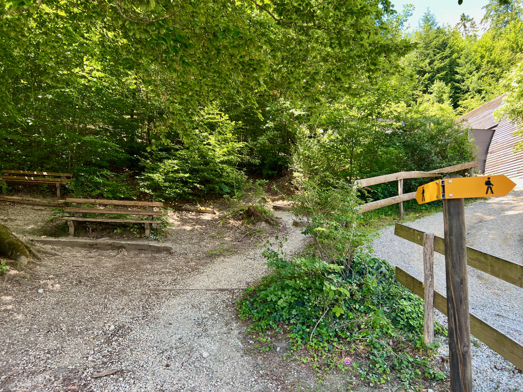
After finding the right trail, we headed into the forest and were on our way.
The Trail
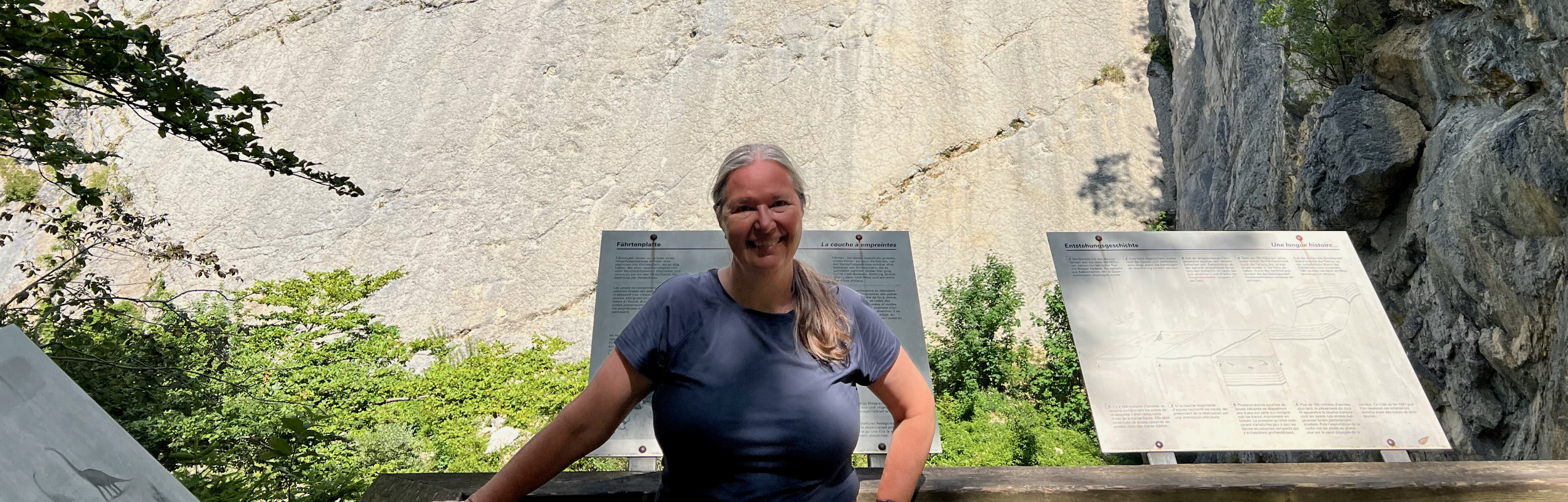
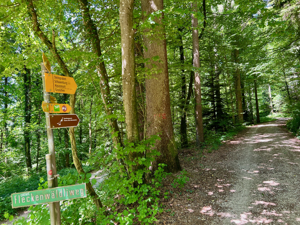
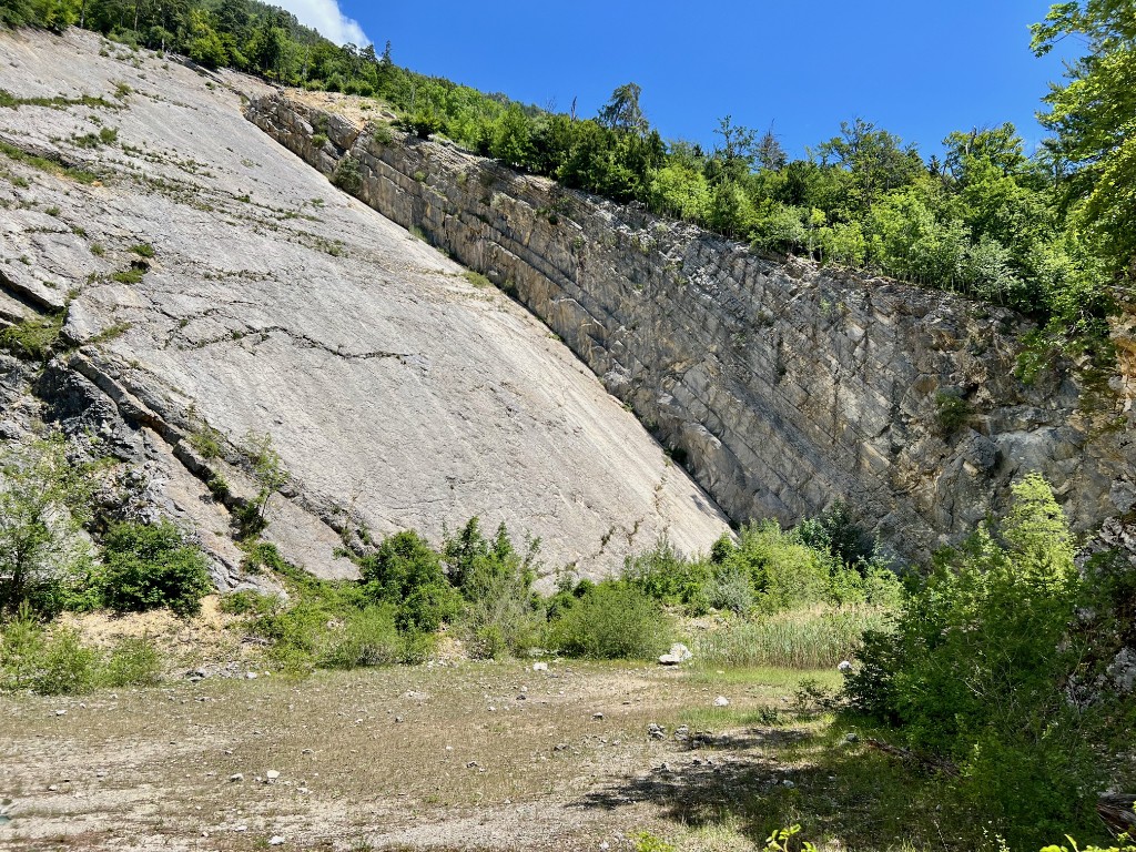
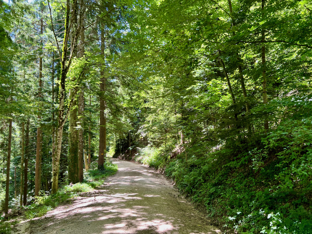
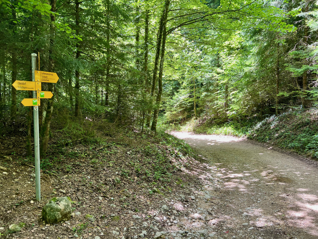
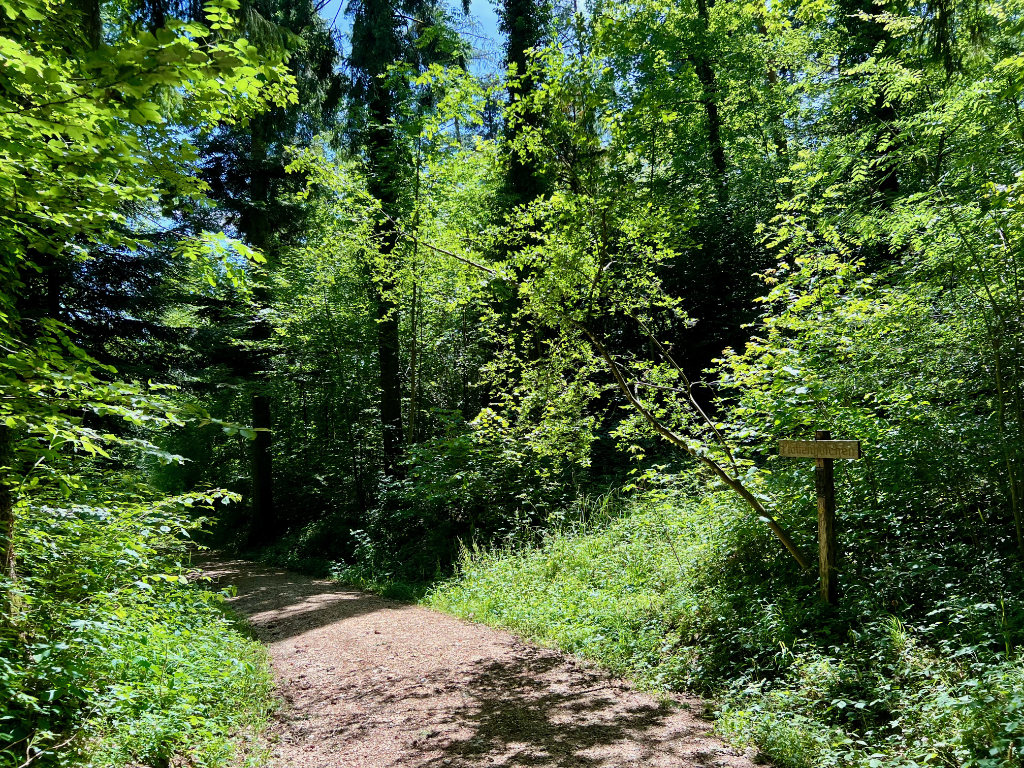
The first two kilometers of the trail head gently up through the forest. There are a number of cross trails here so we were sure to stay on the trail towards Grenchen. When we reached the quarry, we first took a peek to see if we could get a look at the dinosaur tracks. You can see them from the fence (on the rock face to the far right) but we wanted a better look so we followed the brown signs marked “Sauerierspuren.”
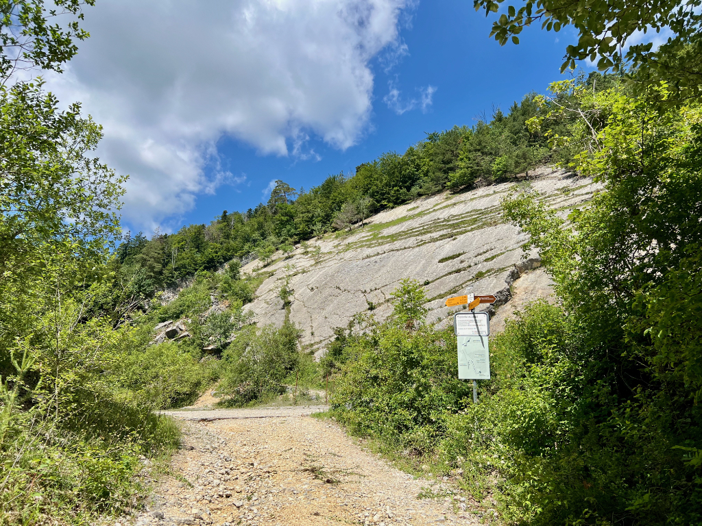
This brought us to a small platform directly across from the dinosaur tracks – the perfect viewing spot. On the platform were several information panels (German and French) about how and when the tracks were formed (by Brachiosaurus about 145 million years ago walking on the mud of a coastal plain.) The panels also mentioned other fossils found here and now housed at the Naturmuseum Solothurn. I haven’t been to it, but it may be something to do on a rainy day. The museum has a nice flyer about the dinosaur tracks (german).
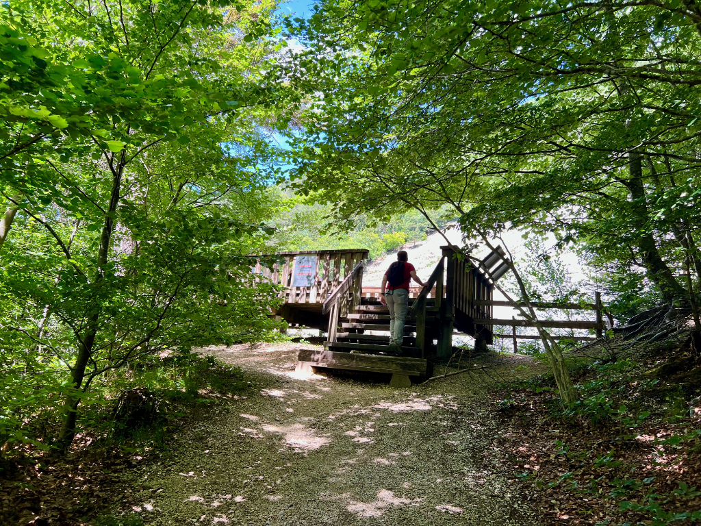
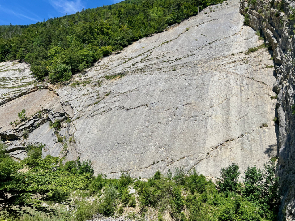
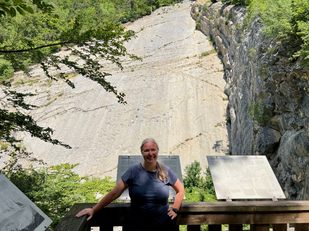
We tried to see some dinosaur tracks on a previous hike (Trans Swiss Trail – Stage 19 Stans to Seelisberg) but despite looking very hard we weren’t able to see the tracks. These tracks, however, were very easy to see. We didn’t even need the helpful map provided at the viewing platform to find them (but it was nice it was there). So, even if you don’t do the rest of this hike and instead just go back the way you came, these dinosaur tracks are worth it.
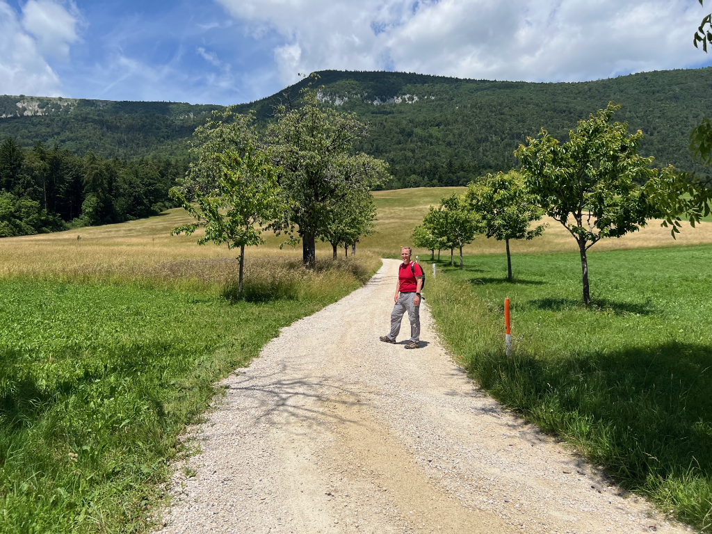
After leaving the viewing platform, we returned to the trail towards Grenchen and we continued on our way.
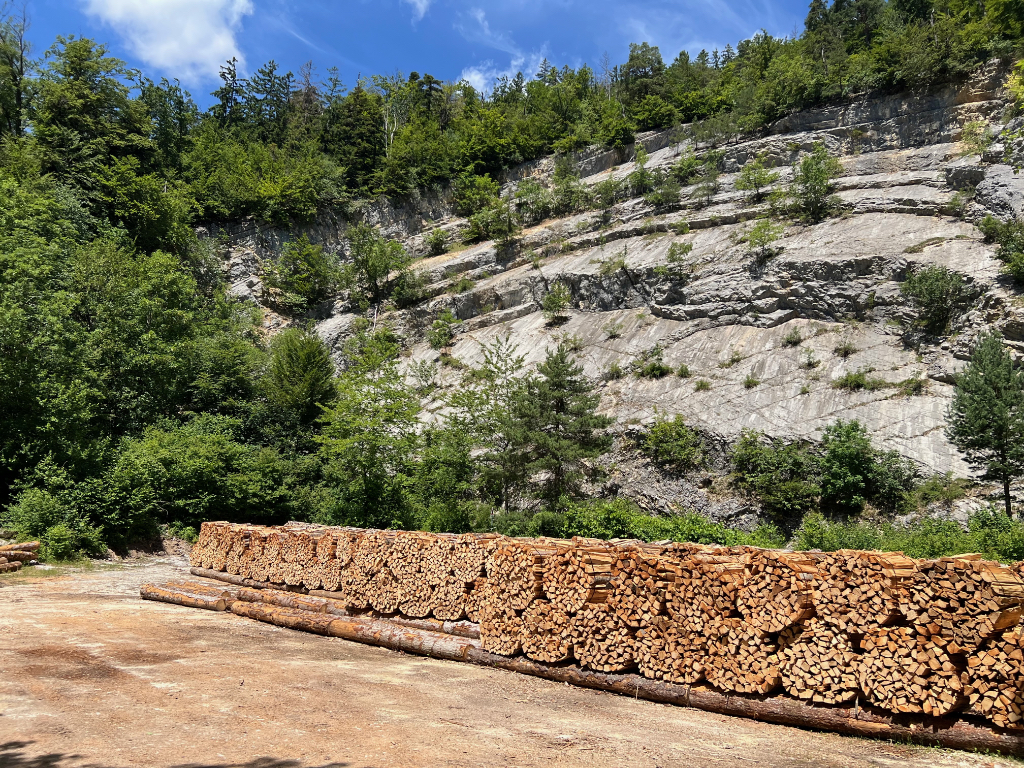
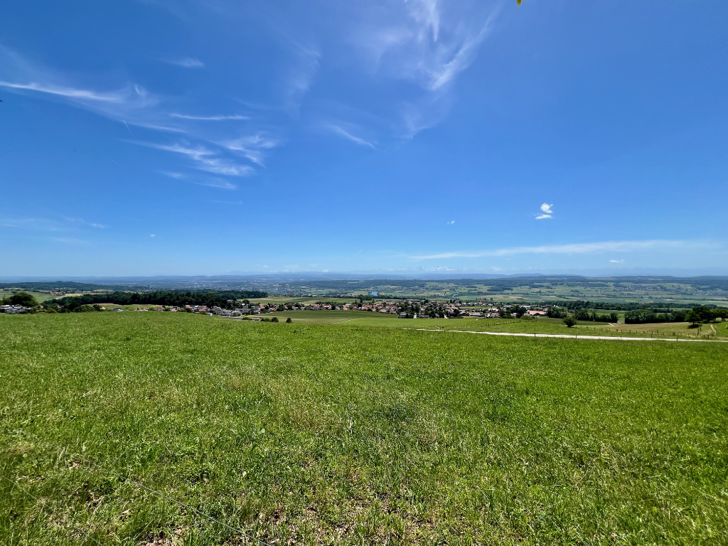
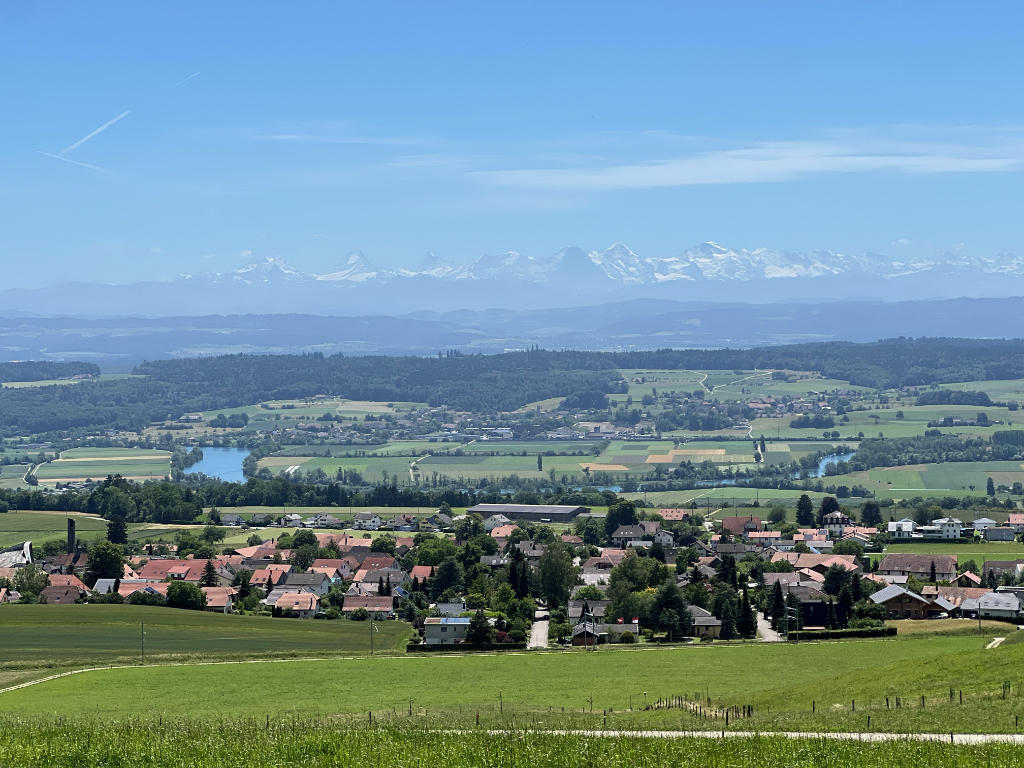
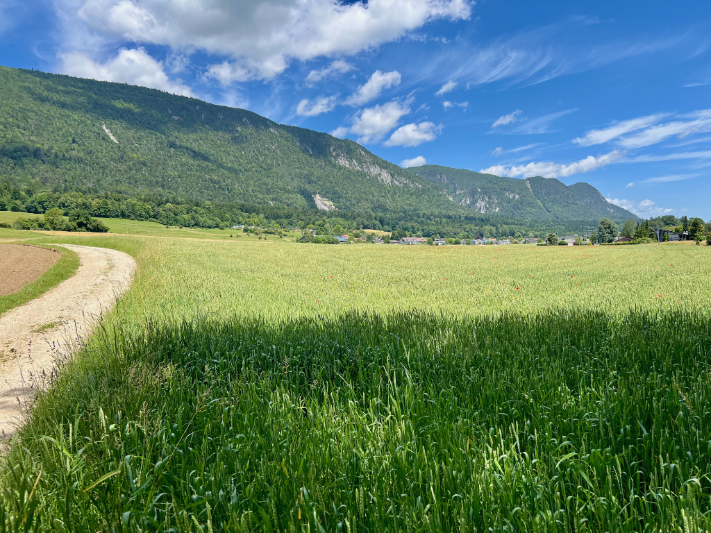
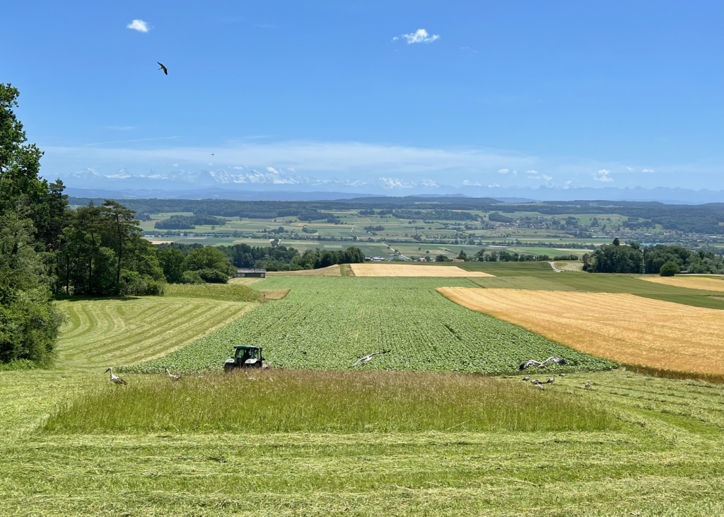
Much of the trail was in the forest, but when we left the forest, we got some very lovely views of the Aare valley and across to the Alps. The second picture below is a look back at the quarry – the rocky patch in the center of the picture.
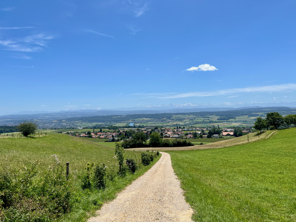
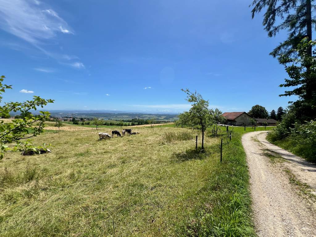
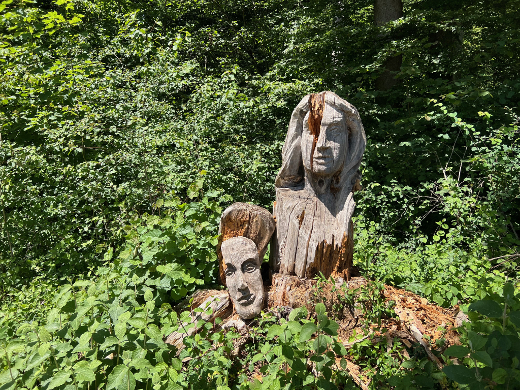
As we continued towards Grenchen, we passed fields and farms. The well preserved face of the rotted wood carving in picture two was rather striking. And the large flock of storks we saw surrounding the farmer cutting hay was rather surprising. I don’t think I’ve ever seen that many storks in one place before.
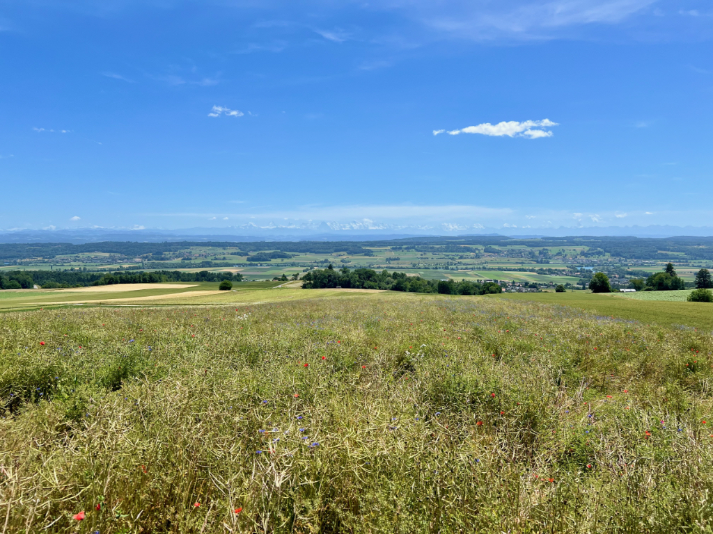
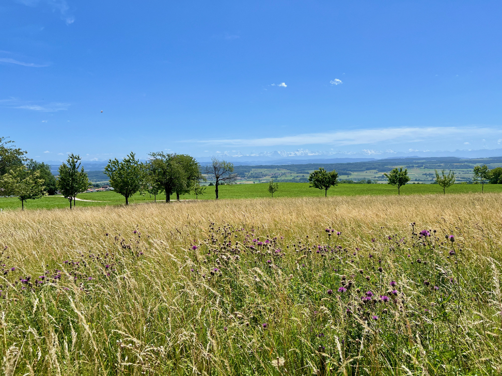
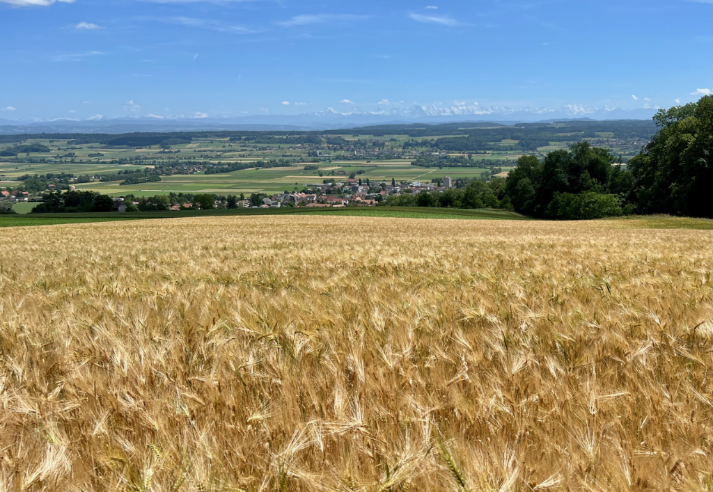
The last few kilometers before reaching Grenchen were mostly forested, but there were occasional open sections. I loved the view across the golden wheat field in picture two below.
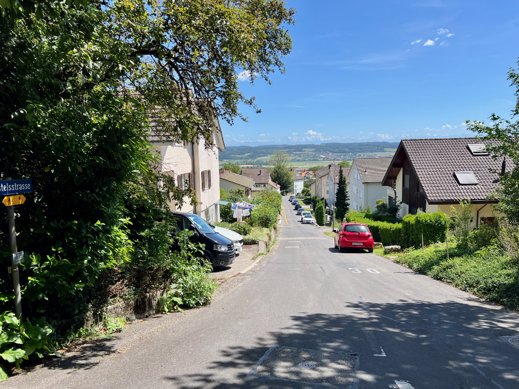
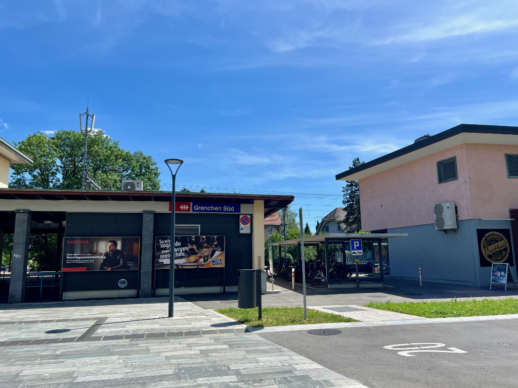
After leaving the forest, the hike ended with a stroll through the town of Grenchen.
Getting Back
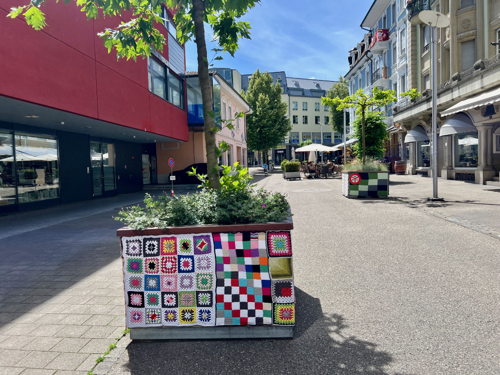
In Grenchen, we stopped for some gelato but I didn’t take any pictures because I was busy eating it. But, when we came across the planters decked out in crochet blankets, they were interesting enough that I stopped, finished my cone, and snapped a photo. And, then one last photo at the train station.
This was the first hike I’ve blogged for canton Solothurn and I found it to be a relaxing hike with some very lovely views. Plus, the dinosaur tracks were interesting and well worth a visit.
If you happen to be looking for other hikes or things to do in Solothurn, the blog Ali on Switzerland is a good resource, in particular see his posts on Hiking in Solothurn and Things to do in and around Solothurn.
Leave a Reply