
Tag: Hikes in Uri (UR)
All hikes in canton Uri (UR).
-

This trail starts at the top of the Schneehüenerstock cable car (valley station at Oberalppass) and goes to the Nätschen train station and is approximately 9 km long with 125 m ascent 875 m descent. This gorgeous high elevation hike near Andermatt is fairly easy, relatively affordable, and absolutely gorgeous.
-
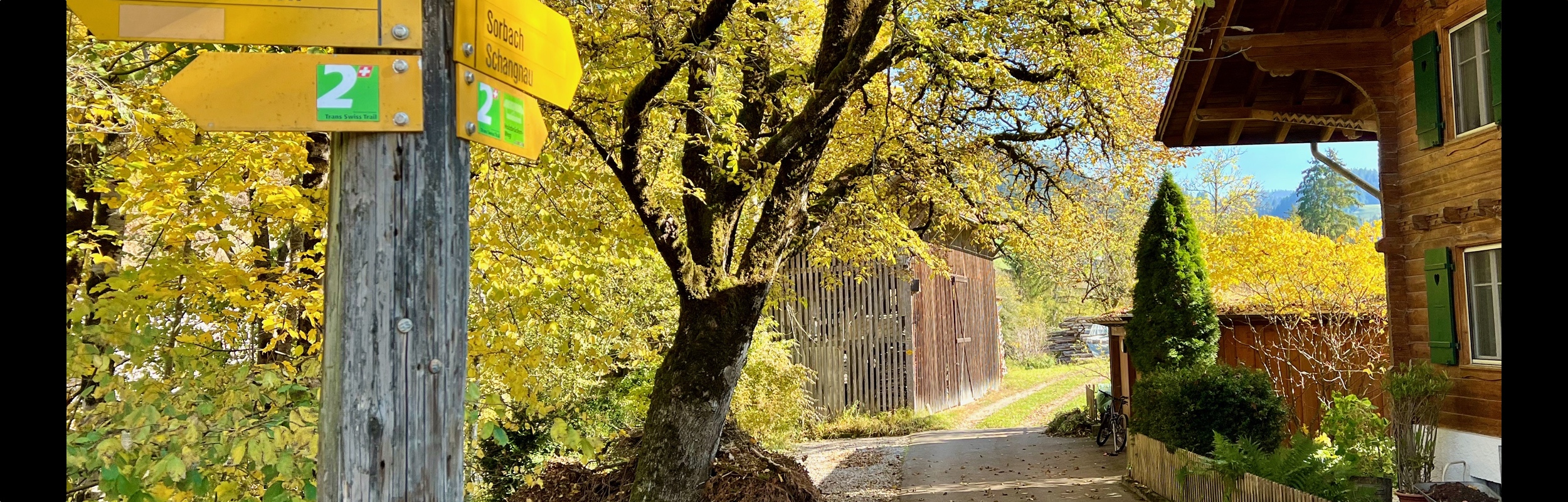
A summary of hiking the complete Trans Swiss trail (National Route 2), a 488 kilometer, 32 Stage trail that completely crosses Switzerland from Porrentruy to Mendriso.
-

Stage 23 of the Trans Swiss trail is 13 km long with 720 m ascent and 120 m descent and goes from Andermatt to Passo del San Gottardo (top of the Gotthard Pass).
-

Stage 22 of the Trans Swiss trail is 10 km long with 680 m ascent and 150 m descent and goes from Wassen to Andermatt. Along the way, the Schöllenenschlucht gorge and the Teufelsbrücke (Devil’s Bridge) were particularly dramatic.
-

Stage 21 of the Trans Swiss trail is 19 km long with 1000 m ascent and 540 m descent and goes from Erstfeld to Wassen.
-

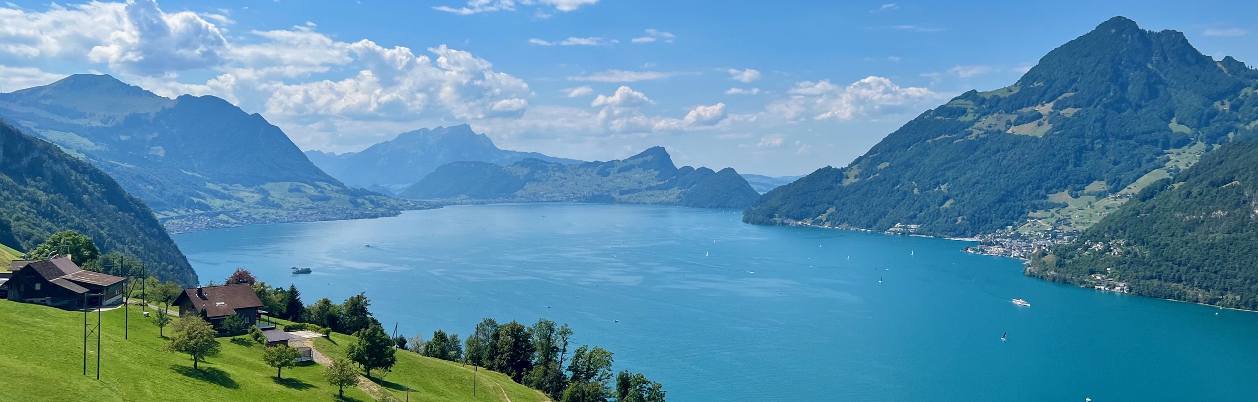
Stage 20 of the Trans Swiss trail is 24 km long with 300 m ascent and 620 m descent and goes from Seelisberg to Erstfeld.
-
Stage 19 of the Trans Swiss trail is 20 km long with 820 m ascent and 480 m descent and goes from Stans to Seelisberg. This stage includes a steep ascent through the Risleten Gorge past a really gorgeous waterfall.