
This cherry blossom hike in canton Zug is 13 km long with 293 m Ascent and 678 m descent and goes from Menzingen to Zug. Zug is famous for its cherry trees and every year I intend to get out and do one of the cherry blossom hikes (Zug tourism) and this year, I finally did. A friend and I hiked a variation of the Zug to Menzigen route (mostly just doing it in reverse but also slightly shorter) and really enjoyed the hike.
Timing a cherry blossom hike to see the peak bloom is not so easy. I did the Baselbieter Chirsiweg (Cherry Way) a little too early this year and the blossoms weren’t quite out yet – only one orchard was blooming. And for this hike, I was a little too late as the blossoms were already starting to fade. Still, some trees were blooming and as you can see from the pictures, it was all very pretty.
Note: The Zug Tourism Cherry Blossom Hike List includes a current bloom status but did not appear to be as up to date as I had hoped it to be. Still worth checking before you go.
Detail Summary
| Where: | Menzingen to Zug Canton Zug, Switzerland |
| Train: | Zürich HB -> Menzignen, Dorf – 49 mins Zug – > Zurich HB – 25 min |
| What: | Trail Map of the variant we did of this hike (SwissMobility) Yellow trail markers Bolzi/Gubel/Zug -> Oberägeri -> Neuägeri -> Zuggerberg -> Zug Note: The official Zug tourism includes loop by Gubel but we missed it. I think it would be instead of Oberägeri. |
| Skill: | Easy – About 3 hr 10 min Length 13 km, Ascent 293 m, Descent 678 m |
| Cost 2026: | No additional costs beyond public transport. |
Additional Info
| Chiese Hike – Zug to Menzigen (Zug Tourism) Trail Map By Zug Tourism (SwissMobiity) Trail Map of the variant we did of this hike (SwissMobility) Cherry Blossom Hike List with current bloom status (Zug Tourism) |
Getting There
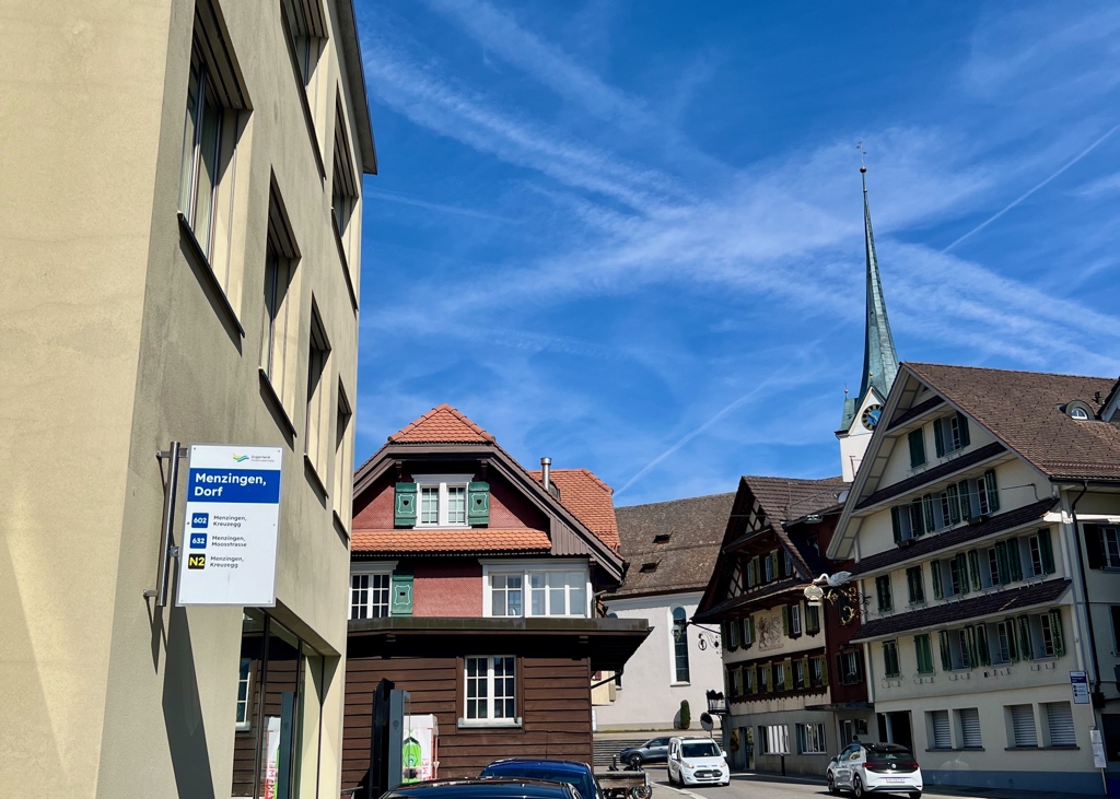
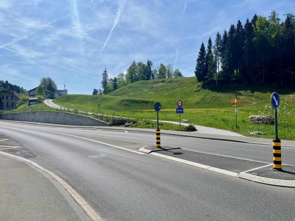
This is a point-to-point hike, so best done with public transportation. This hike starts at the Menzingen, Dorf bus stop.
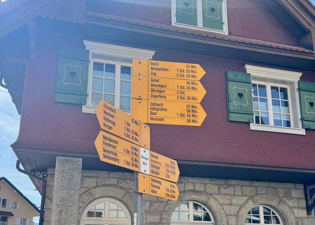
When we found the trail signs, we headed in the direction of Bolzi/Gubel/Zug.
The Trail
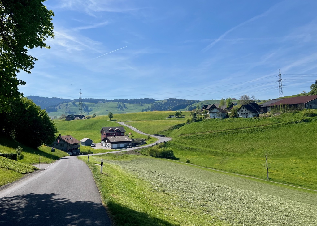
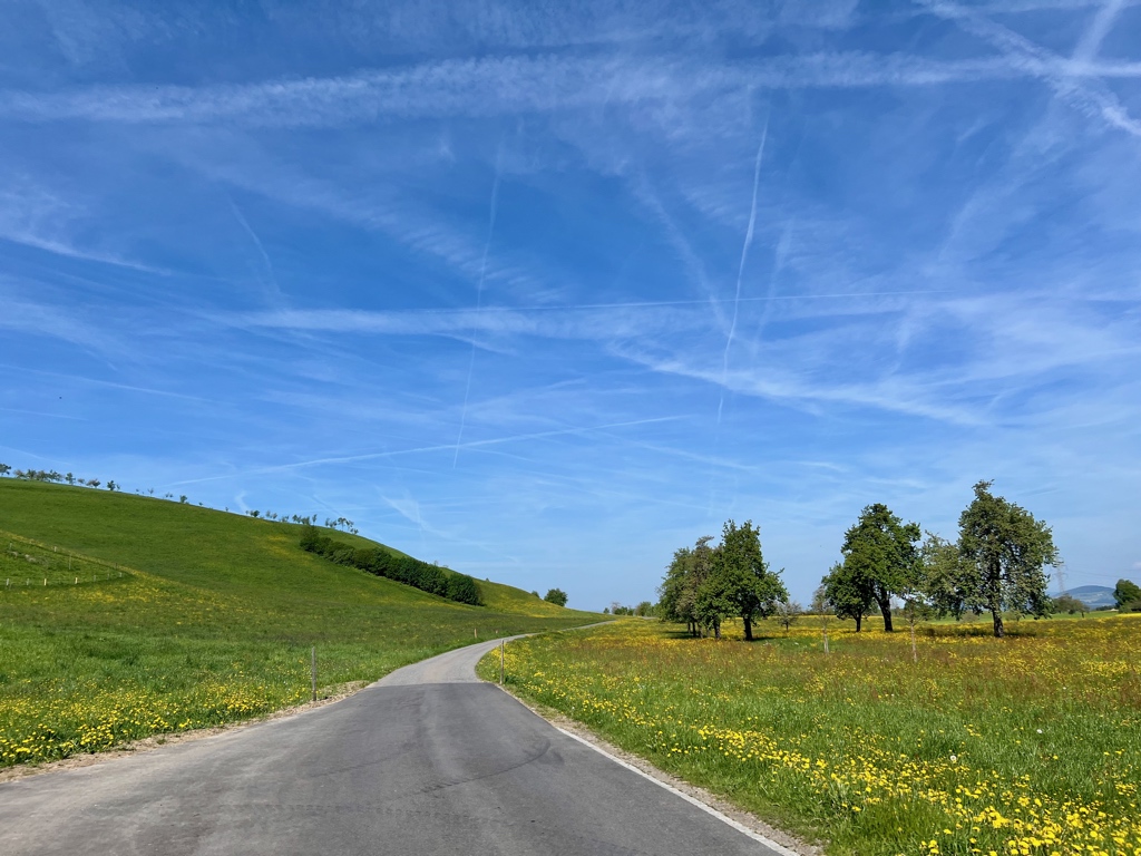
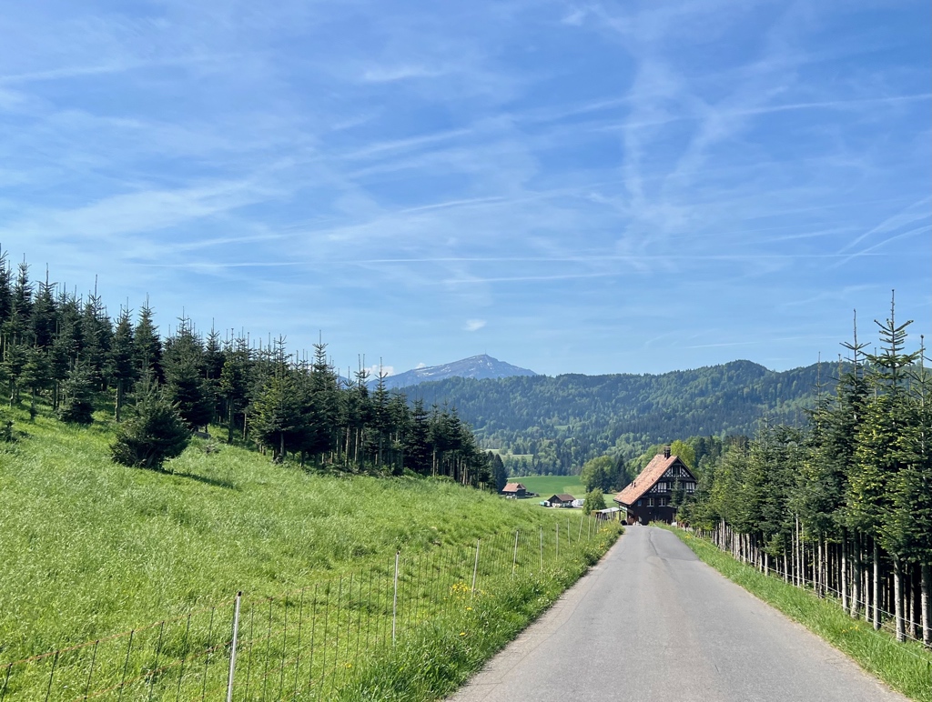
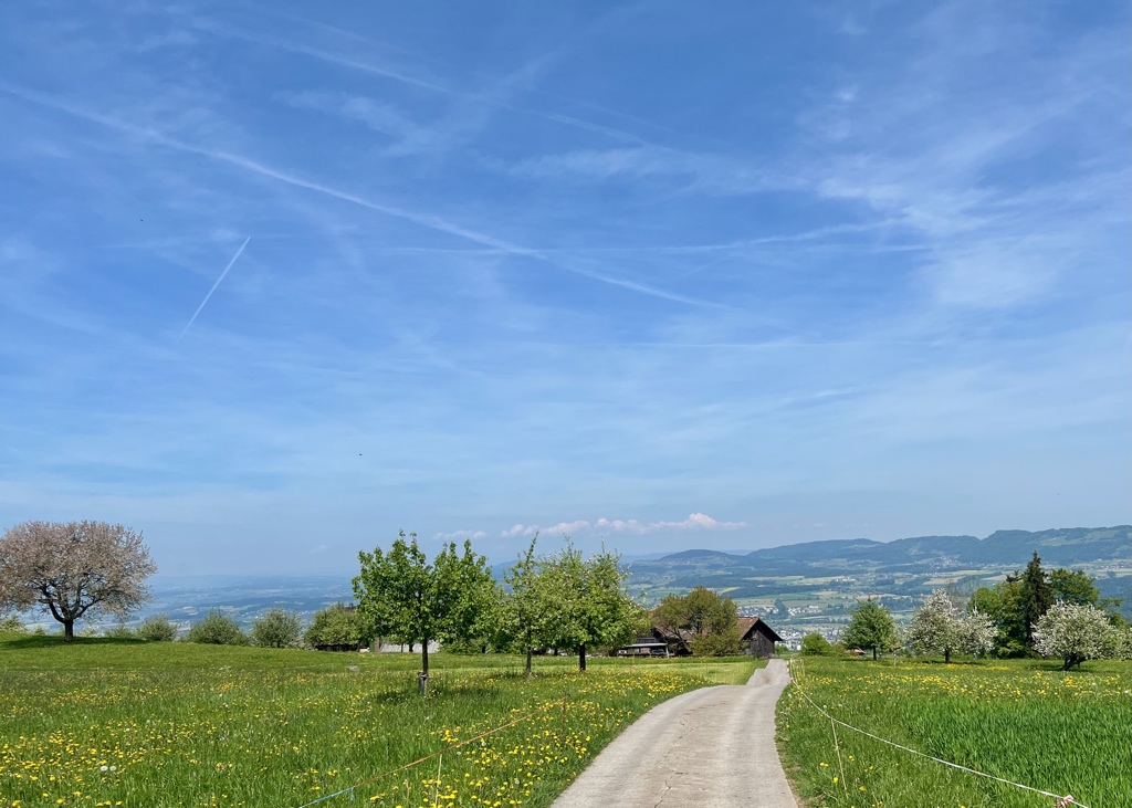
This trail started off by following the road through rolling hills and farmland.
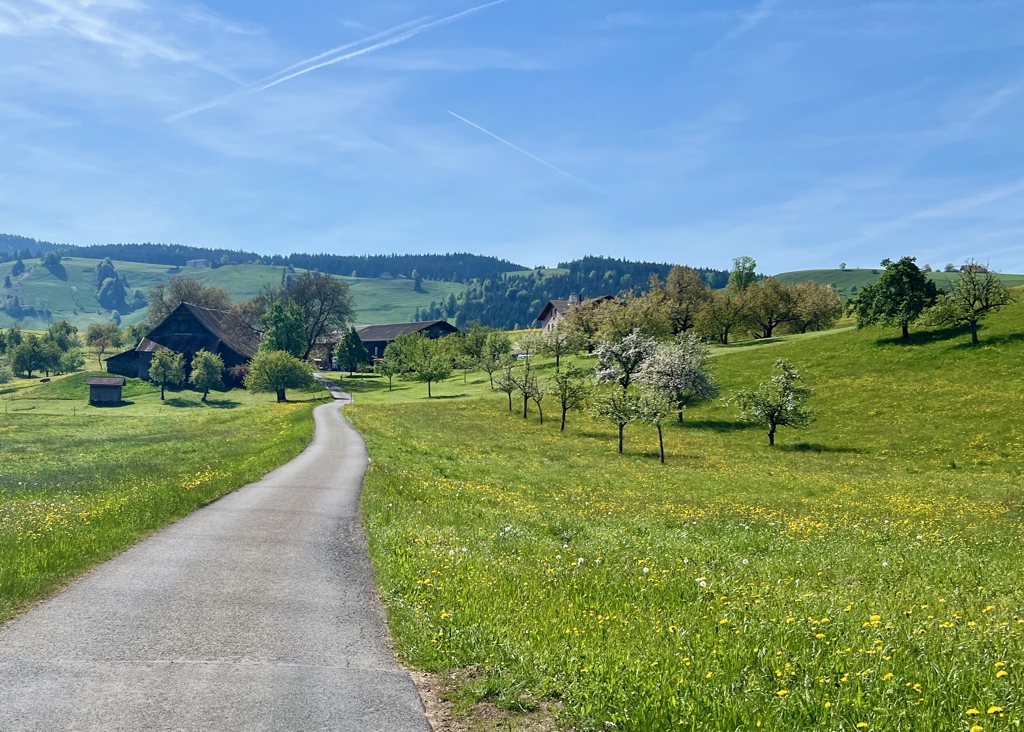
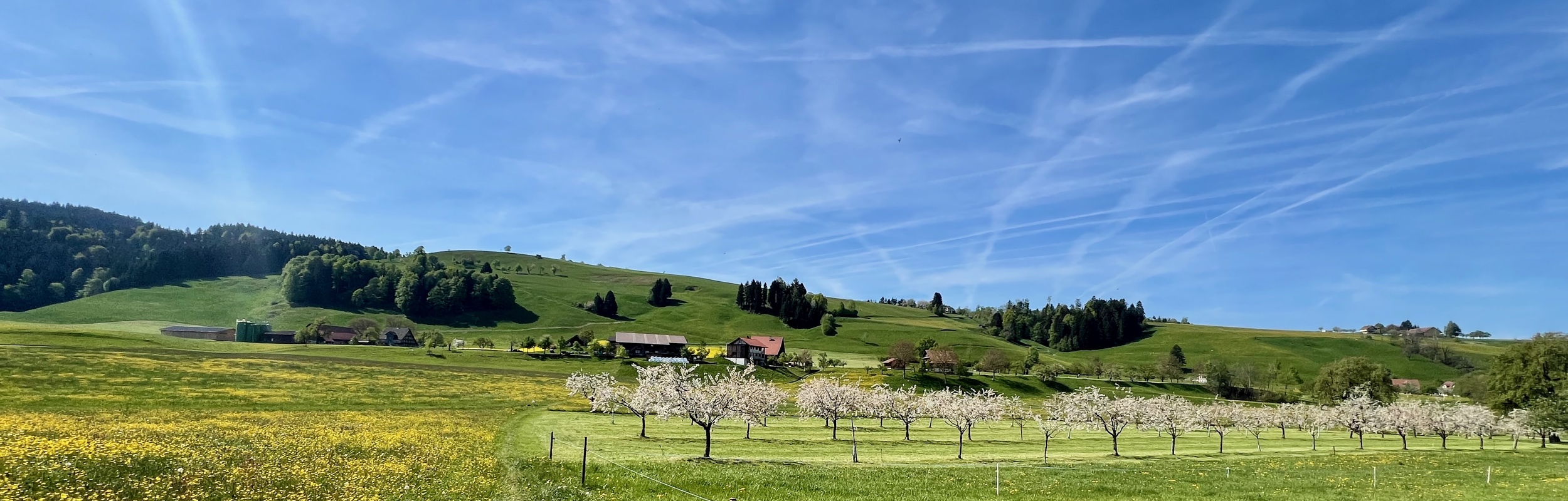
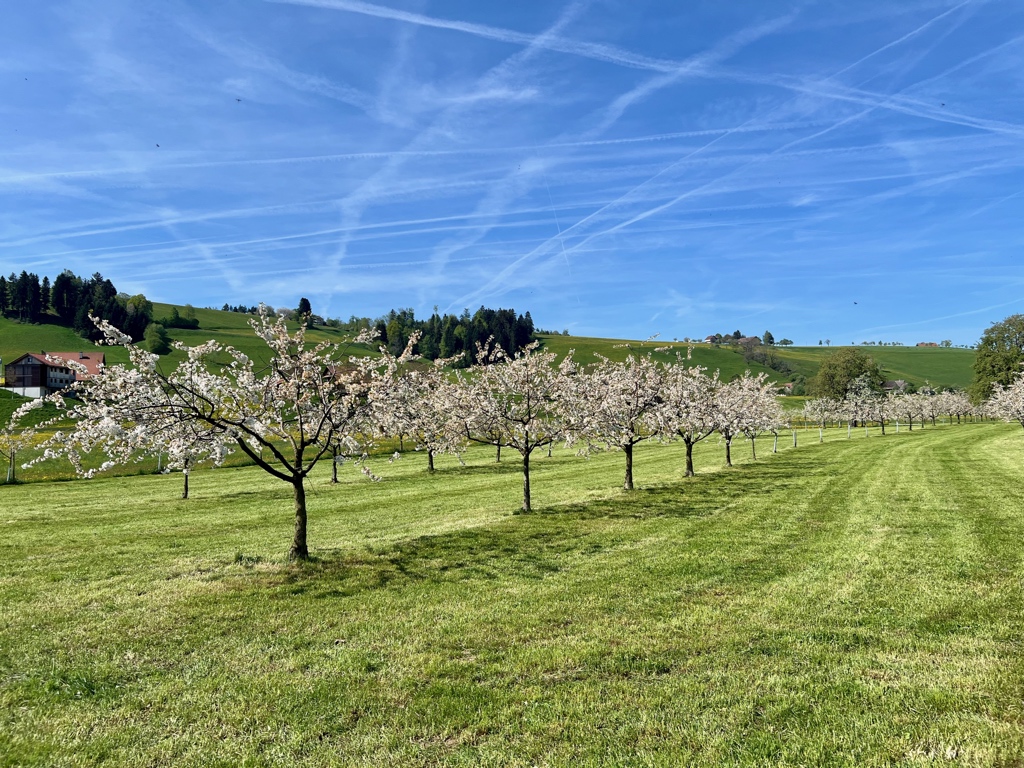
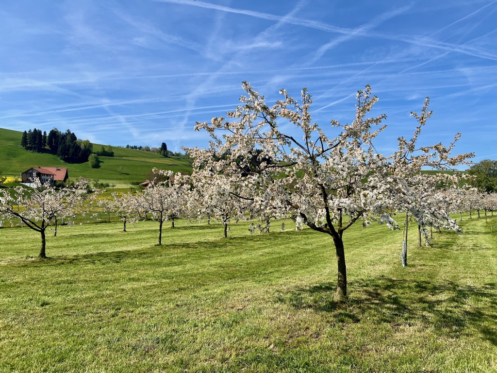
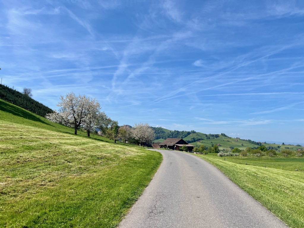
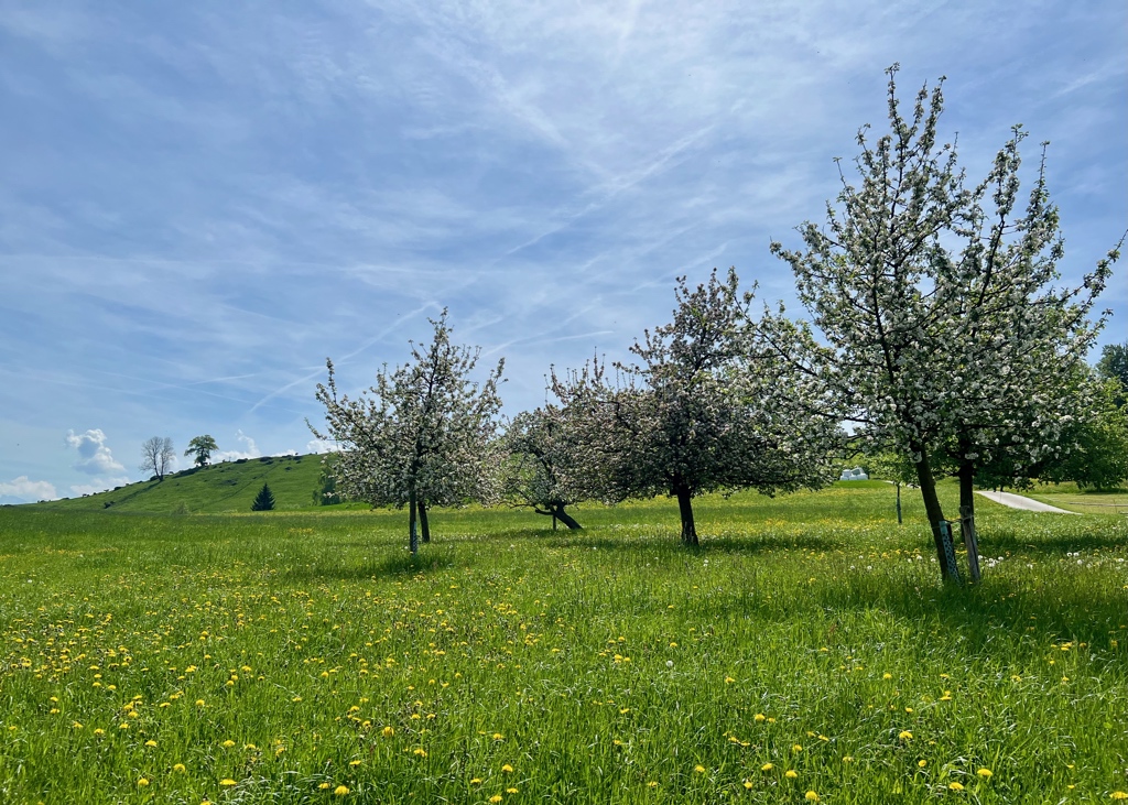
About 30 minutes later, we came to the prettiest orchard of the hike. I was very delighted that it was still in full bloom even though some of the blossoms were starting to brown. So very pretty!
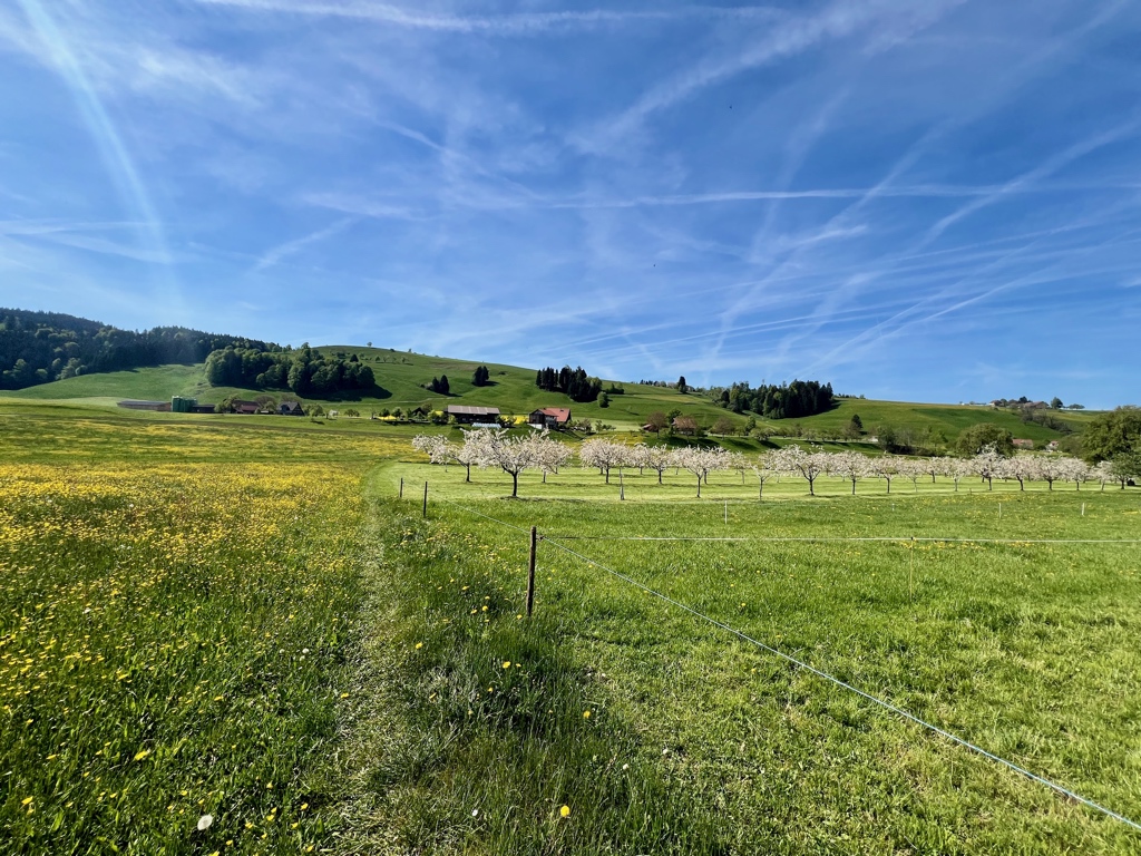
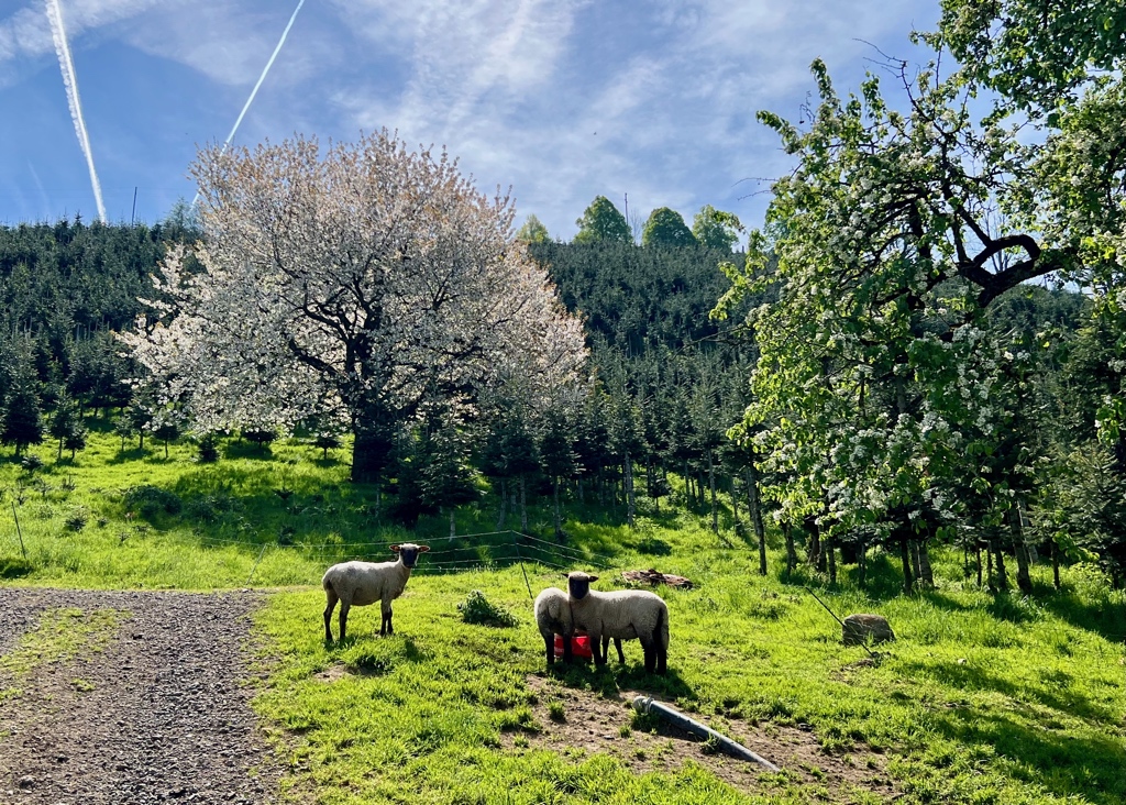
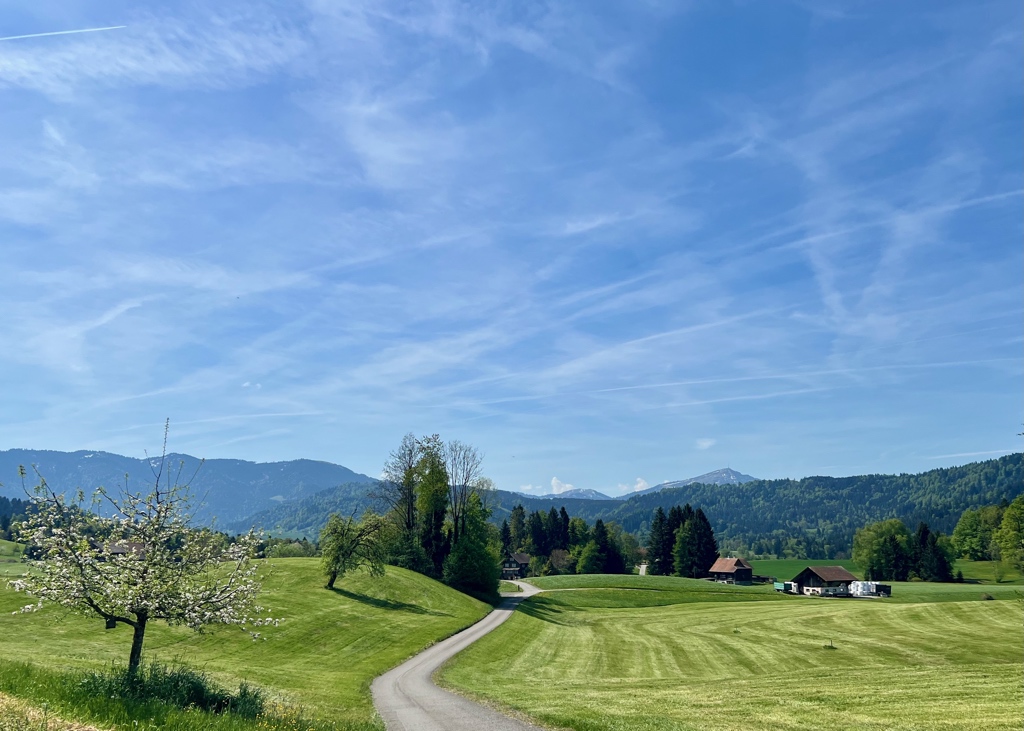
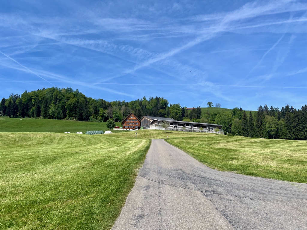
Just past the house in the second picture, we took a wrong turn (I think) and we were no longer on the trail recommended by Zug Tourism. It is possible the short loop around to Gubel had the best cherry trees and we missed them, but not the end of the world. Our route was still very lovely and the sheep we passed with a giant blooming tree behind them were super cute.
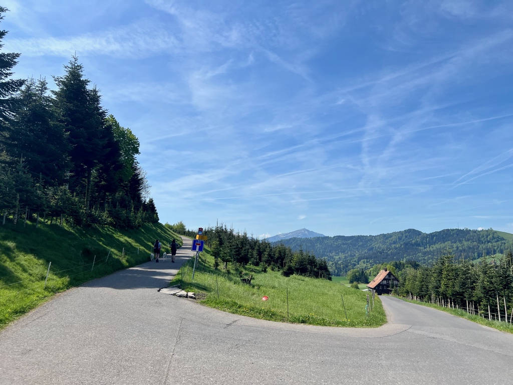
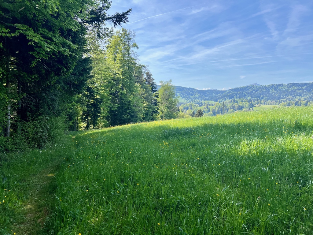
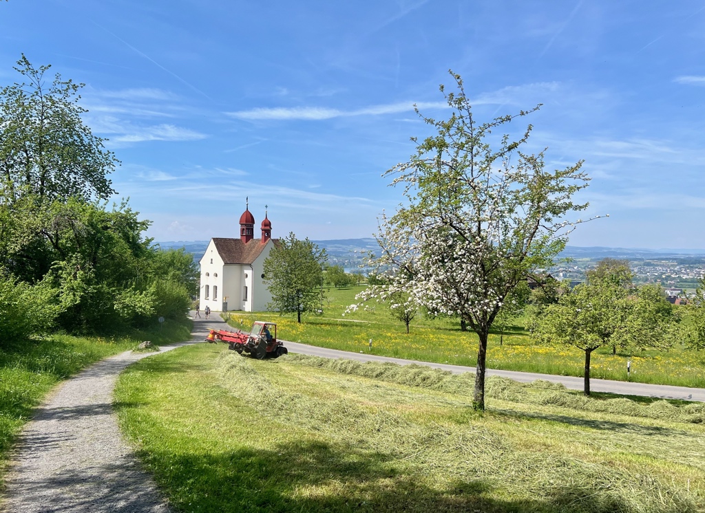
The first picture below is where we re-joined the trail recommended by Zug Tourism. This part of the route passed through a Christmas tree farm, so no blossoms here, but there was a great view of Mt. Rigi ahead of us.
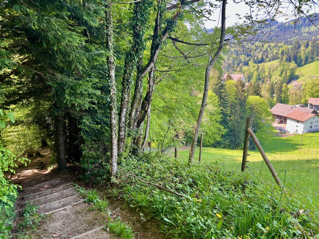
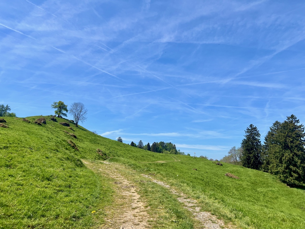
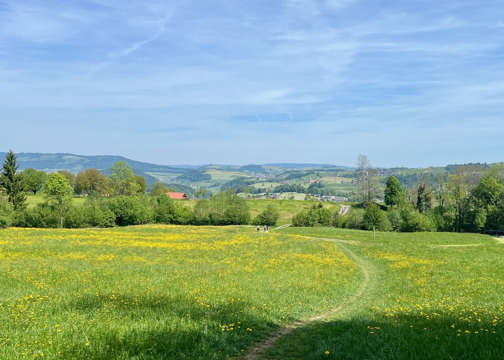
From here, we followed all signs to Neuägeri. Our original plan was to do a shorter hike and catch a bus at the Neuägeri, Schmittli stop (last picture below), but the weather was so nice, we decided to continue the hike on to Zug.
When we reached the farm in the first picture below, the trail joined up with the Route 3 – The Alpine Panoramaweg (second half of stage 9,) which we then followed the rest of the way to Zug.
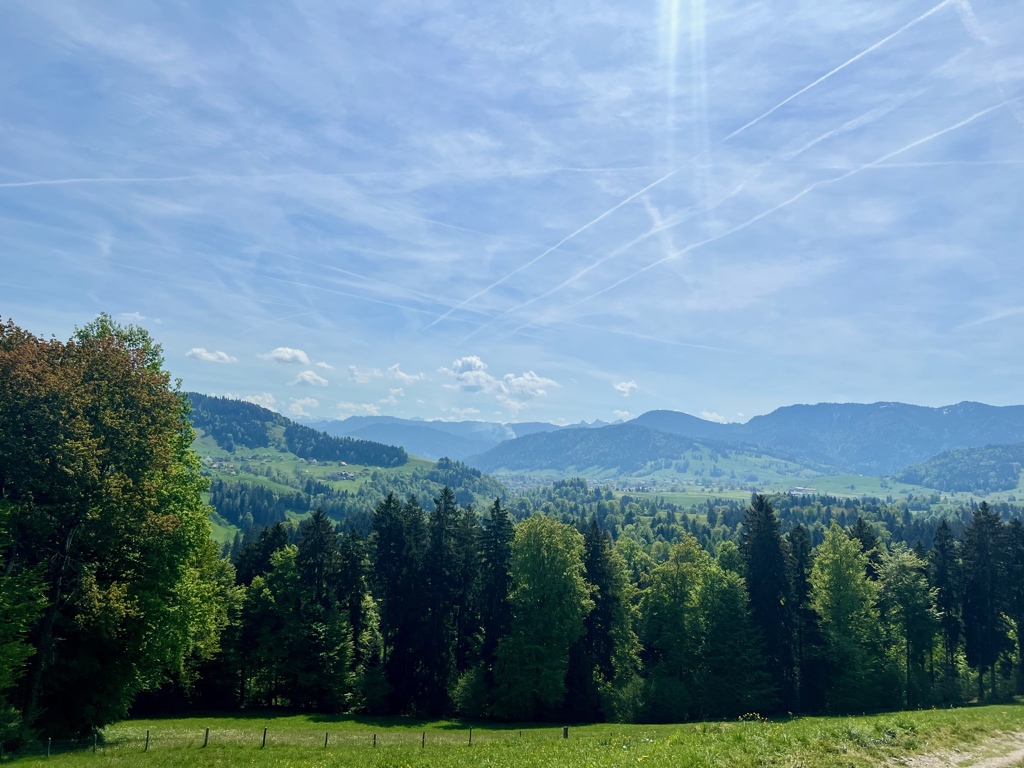
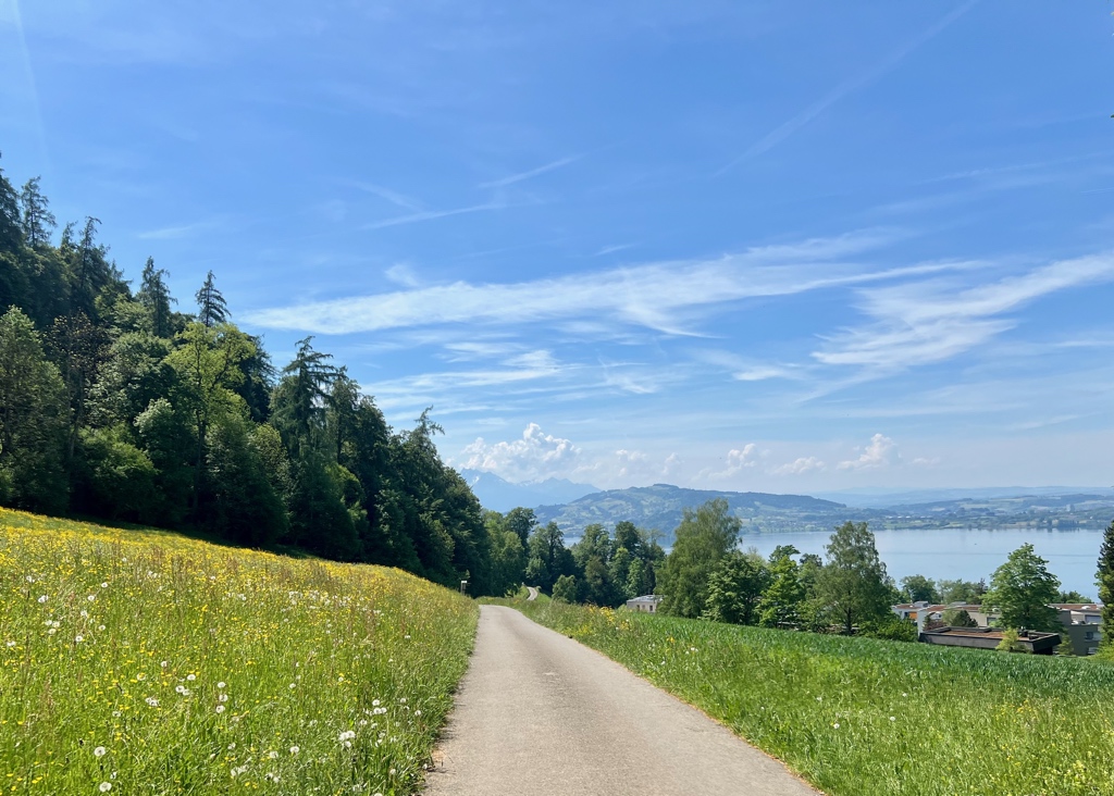
After cresting the Zuggerberg, it was all downhill to Zug. We followed route 3 here, but the Zug Tourism recommendation makes a couple of zig-zags away from it. I don’t think it made much difference as the trees here were mostly past peak bloom.
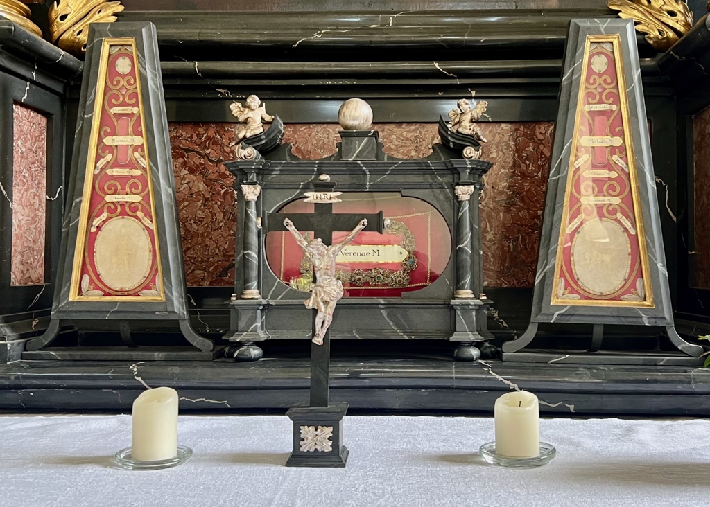
On the way, we stopped in at the Saint Verena chapel. Last week, during my hike of the Thurgauer Rebenweg Trail, I had stopped as a museum exhibit on Catholic reliquary and now that I know what those objects look like, I noticed they had a number of them in this church (including one of Saint Verena).
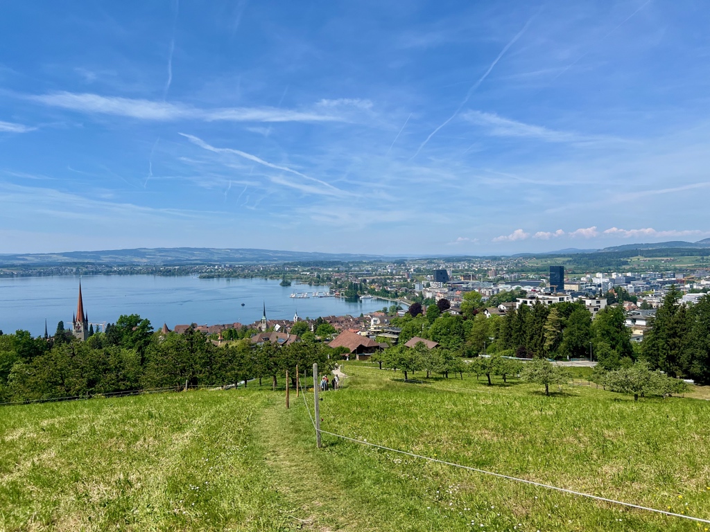
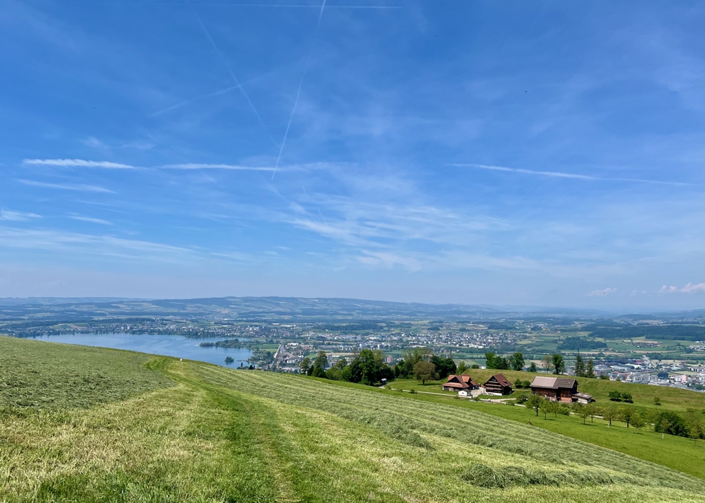
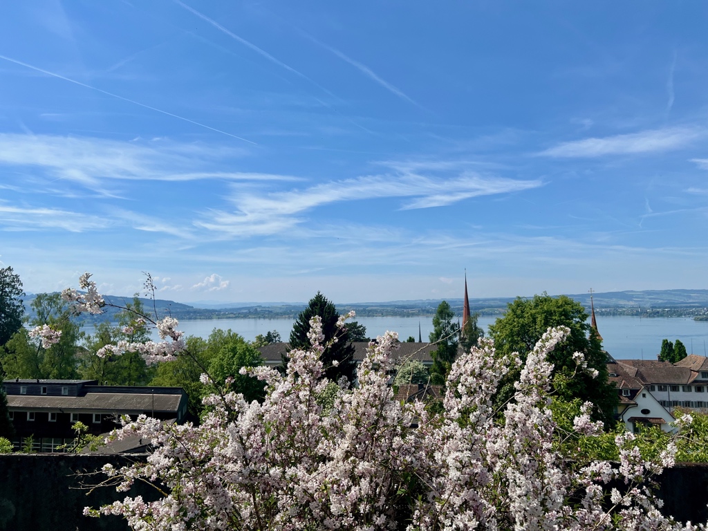
Just about at the end of the hike, I snapped this lovely picture of Zug from above.
Getting Back
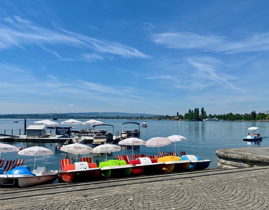
After we walked through town and arrived at the lake shore, we stopped for some gelato before going home. A perfect end to this hike.

Note: The train station picture is from a previous hike as I forgot to take one this time.
I really enjoyed this hike, and I definitely recommend it. Hopefully, I can time it better with the cherry blossoms next time.
Leave a Reply