
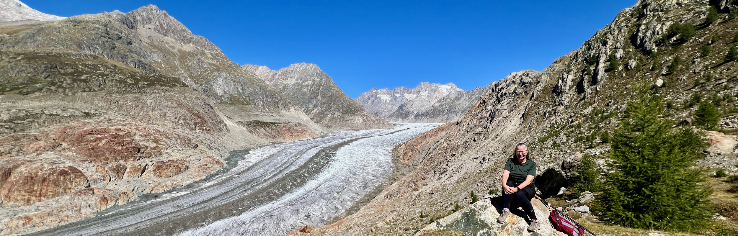
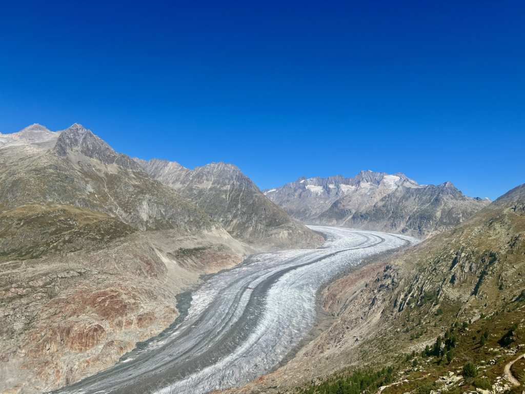
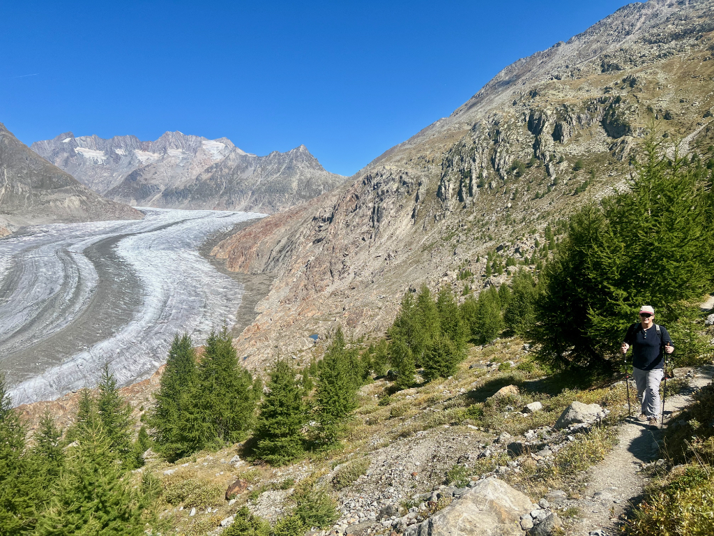
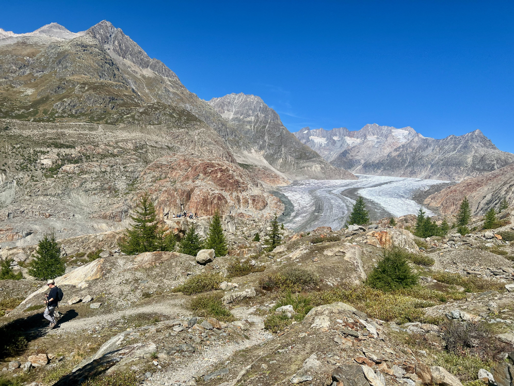
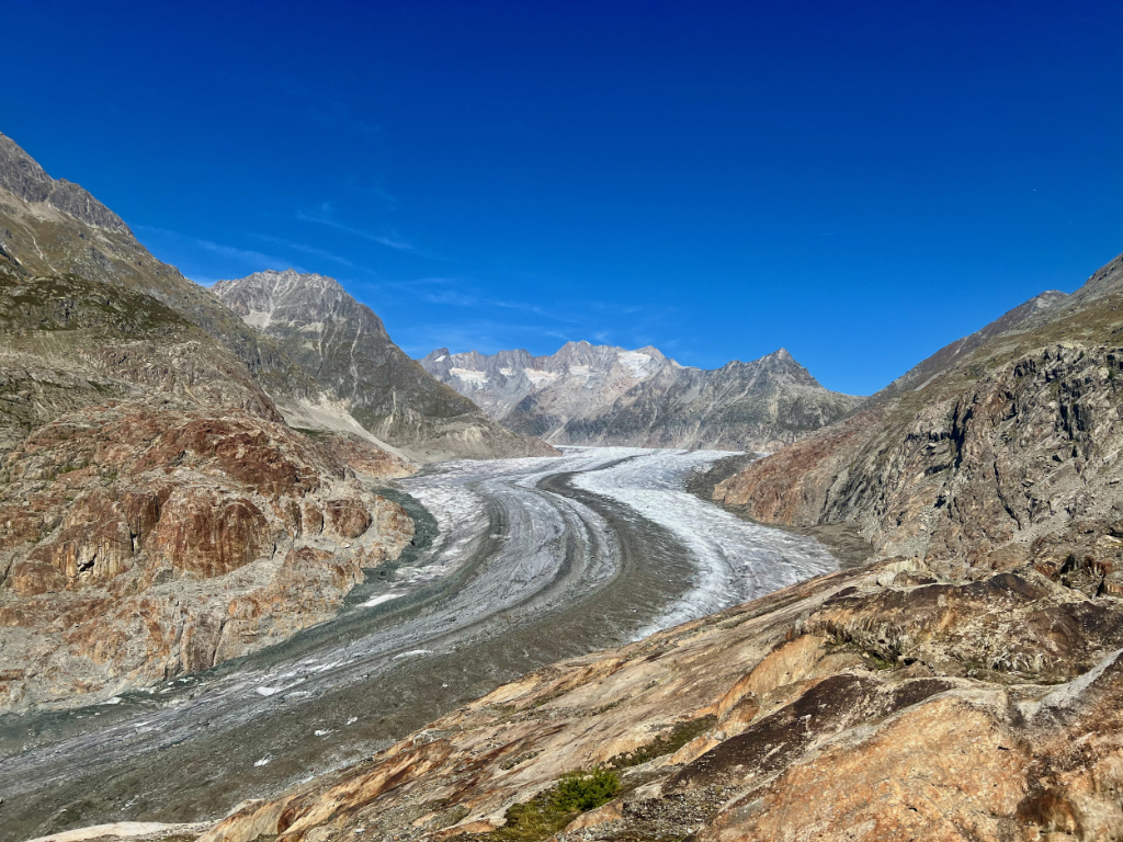
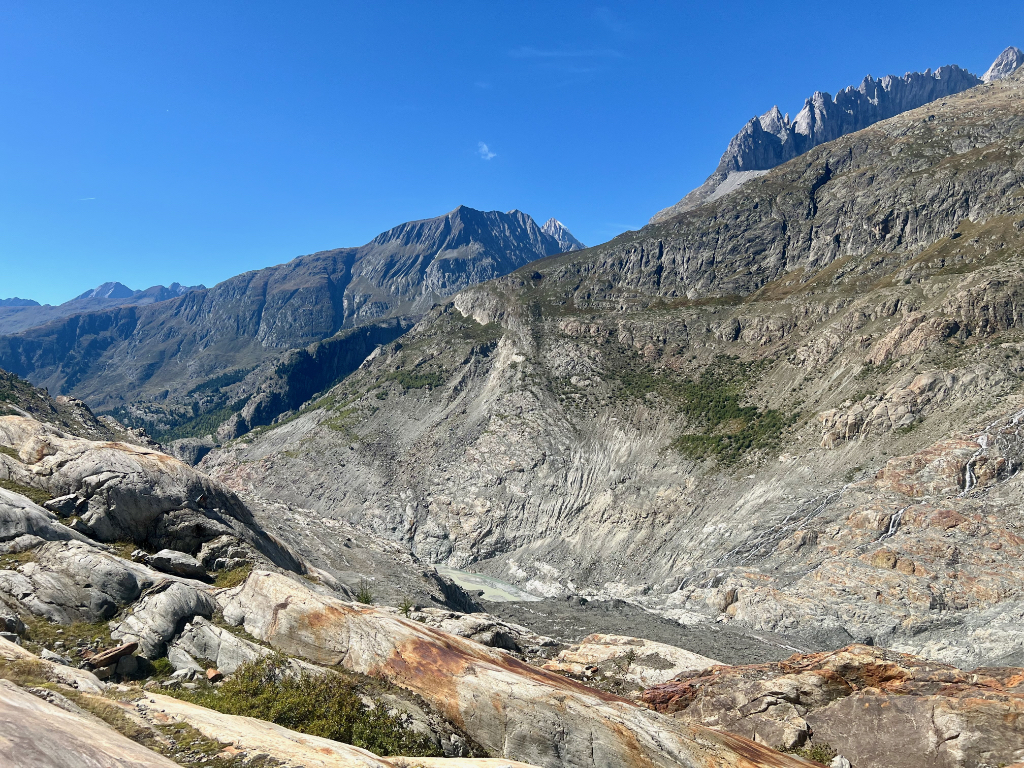
The Aletschgletscher Aussichtsweg loop trail is a 7 km hike with 500 m descent/ascent that starts at the Aletsch glacier viewpoint at the top of the Riederalp, Moosfluh cable car. This spectacular hike has amazing views of the Altesch glacier almost the entire way. As we hiked down into the valley for a closer look, there were information boards about the glacier. When we reached the low point of the hike, Chatzulecher, we weren’t quite at the glacier but we could see the end of it and there were some interesting rock formations. The climb back out of the valley was tough, but the forest provided some welcome shade along the way. After the hike, instead of taking the cable car down, we decided to hike down to the middle cable car station, and then take mountain carts the rest of the way to Riederalp.
This was one of the best hikes we’ve done in Switzerland and we highly recommend it. If you aren’t up for the 500 m descent/ascent of this hike, you can simply hike along the top ridge for extraordinary glacier views.
Detail Summary
| Where: | Aletschgletscher Aussichtsweg Loop from Riederalp, Moosfluh (SwissMobility) Canton Valais , Switzerland |
| Train/Bus: | Zürich HB -> Reideralp, Moosfluh – 2 hr 53 min |
| Car: | Mörel (Riederalpbahn) Furkastrasse 29 CHE-102.057.342 3983 Mörel-Filet |
| What: | Aletschgletscher Aussichtsweg Loop from Riederalp, Moosfluh (SwissMobility) Trail Map (SwissMobility) Red and White mountain trail with Green 195 Waypoints: Riederalp, Moosfluh –> Chatzulecher–>Alte Stafel – Riederalp, Moosfluh Trail Map Alternate Route ending at Blausee (SwissMobility) Riederalp, Moosfluh –> Chatzulecher–>Alte Stafel – Blausee |
| Skill: | Medium – About 3 hrs Length 8 km, Ascent 500 m, Descent 500 m |
| Cost | Getting to the starting point requires two cable car journeys. The cable cars are run by Aletsch Bahnen. Various discounts available: SBB GA and Half Fare Card, and Aletsch Guest Card (ask at your hotel) Cable car from Mörel to Riederalp SBB GA and Half-Fare cards are valid and tickets can be purchased via the SBB app. Full price Adult roundtrip ticket: 20.40 CHF. Free with SBB GA card. Cable car from Riederalp to Moosfluh This cable car is not part of the SBB coverage area, however there is a discount for GA and Half-Fare card holders. Full price Adult on way ticket: 23.60 CHF Full price Adult roundtrip ticket: 35.00 CHF GA/Half-fare/Guestcard Adult round trip: 17.50 CHF GA/Half-fare/Guestcard Adult one way trip: 11.80 CHF Mountain Carts – One Ride: 16.00 CHF Example Total Costs: As GA card holders, who purchased a single ride up to Moosfluh, hiked down to Blausee middle station and took mountain carts back to Riederalp, our costs were: Cable car to/from Riederalp: 0 CHF Cabe car to Moosfluh: 11.80 CHF Mountain cart from Blausee to Riederalp: 16.00 CHF Total for the trip: 27.80 per person. If you have no discounts, and started the trip at the cable car station in Mörel. Cable car to/from Riederalp: 20.40 CHF Cabe car to Moosfluh: 23.60 CHF Mountain cart from Blausee to Riederalp: 16.00 CHF Total for the trip: 60 CHF per person. |
Additional Info
| Aletschgletscher Aussichtsweg Loop from Riederalp, Moosfluh (SwissMobility) Trail Map (SwissMobility) Trail Map Alternate Route ending at Blausee (SwissMobility) Aletsch Bahnen Shorter Panorama Ridge Trail (Swiss family Fun) – An easy 2 k hike along the ridge with fantastic views of the glacier if you aren’t up for the full hike. |
Getting There
This loop hike starts at the top of the Riederalp, Moosfluh cable car. To get there, after taking the train to Mörel, our plan was to take the bigger Riederalp Mitte cable car up to Reideralp where we would get the cable car to Moosfluh. But when we got there, there was a bike race going on and the cable car was packed with bikers and their bikes. The attendant suggested we take the smaller Reideralp West gondola up and walk the ten minutes through town to get to the Moosfluh cable car. So that’s what we did. Both the Riederalp West and Mitte cable cars are covered by the GA so we didn’t need to buy additional tickets yet.
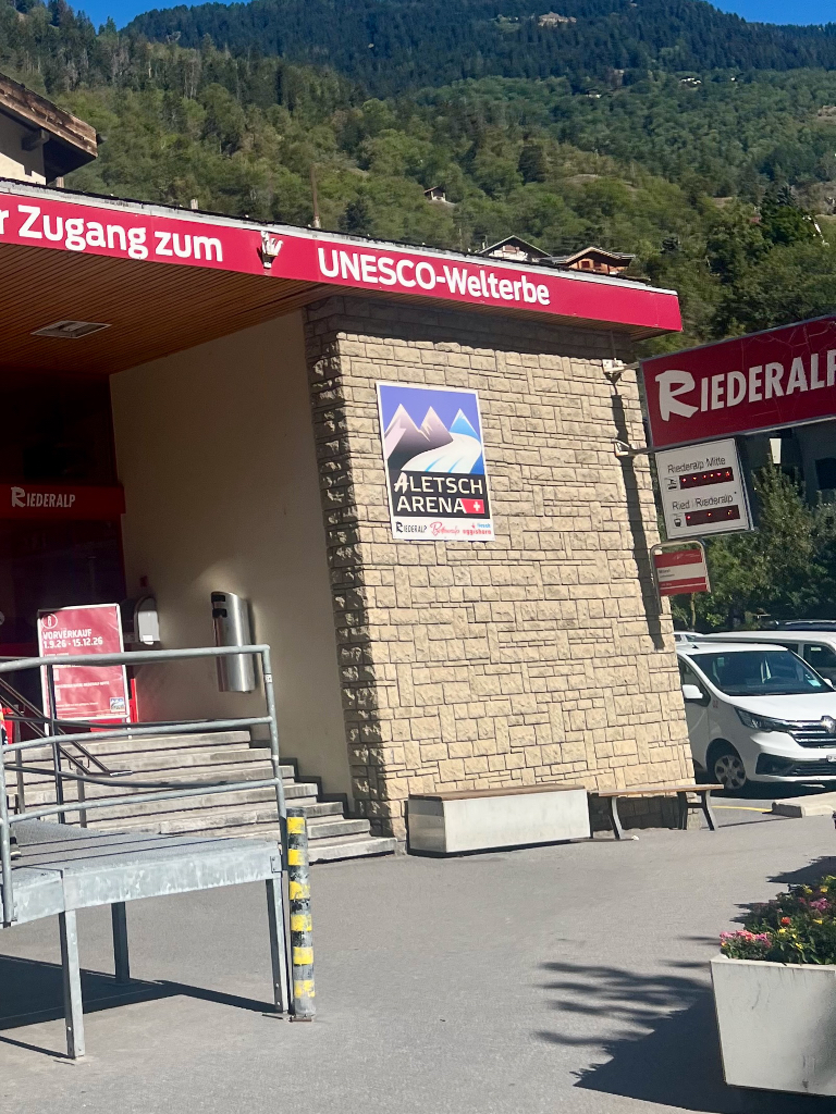
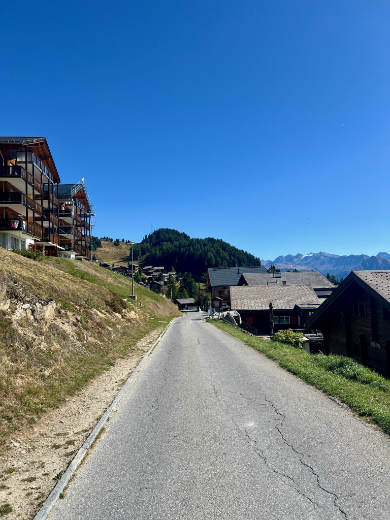
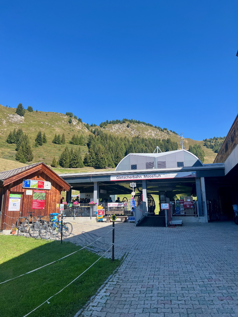
After the 10 minute walk through town, we reached the Moosfluh cable car. My plan was to start and end the hike at the top station. But while buying the tickets, I saw a sign for mountain carts. Because of the bike race, they wouldn’t be available until the afternoon, but since we were hiking first that would work for us. I then bought a one way ticket to the top and then planned to hike down to the middle station to pick up the mountain cart. We didn’t buy a mountain cart ticket yet, just in case that plan didn’t work out. We then hopped on the cable car and were on our way.
The Trail
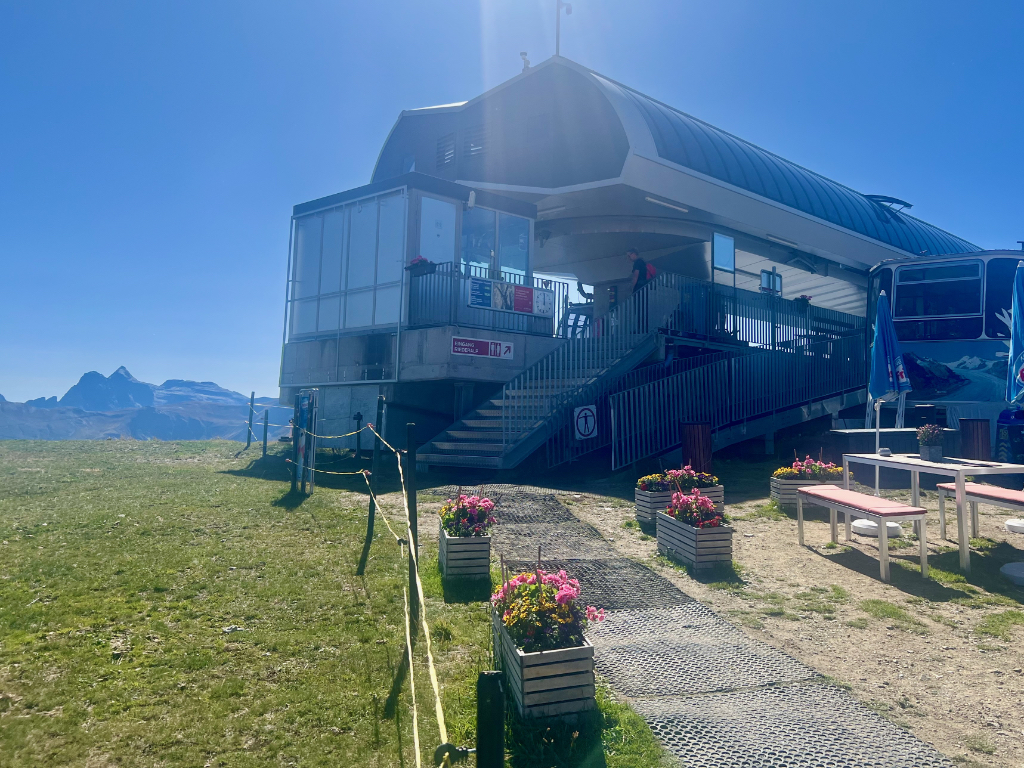
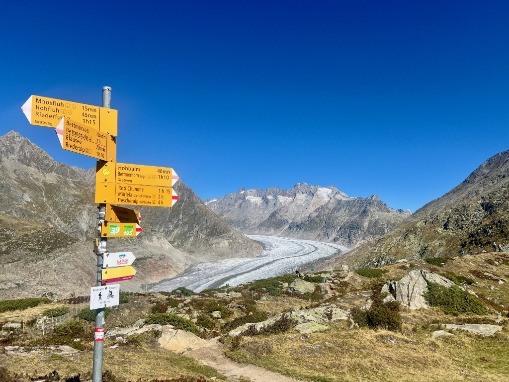
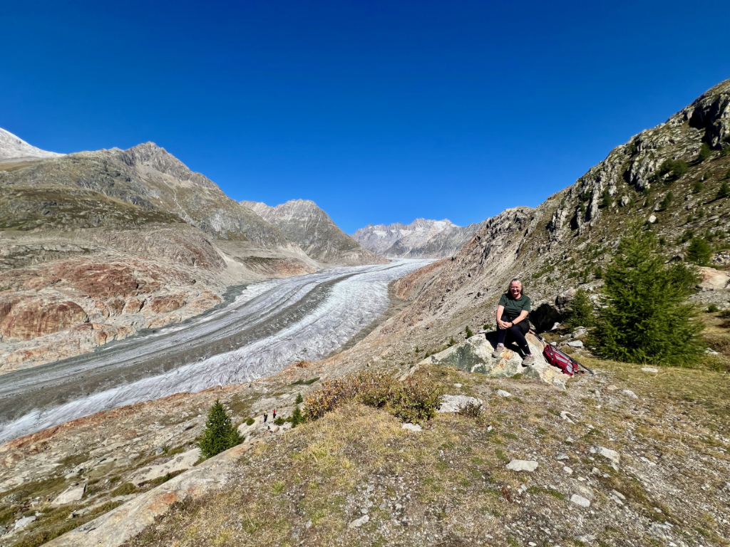
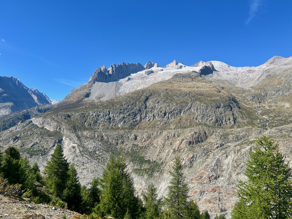
The top of the Moosfluh cable car is one of the Aletsch glacier viewpoints. And as soon as we were off the cable car, we could see the glacier in the valley in front of us. Amazing! It is a bit crowded near the top of the cable car where there are picnic tables and a small food stand. We walked a a short way down our trail and found some rocks to sit on for our picnic lunch. What a view!
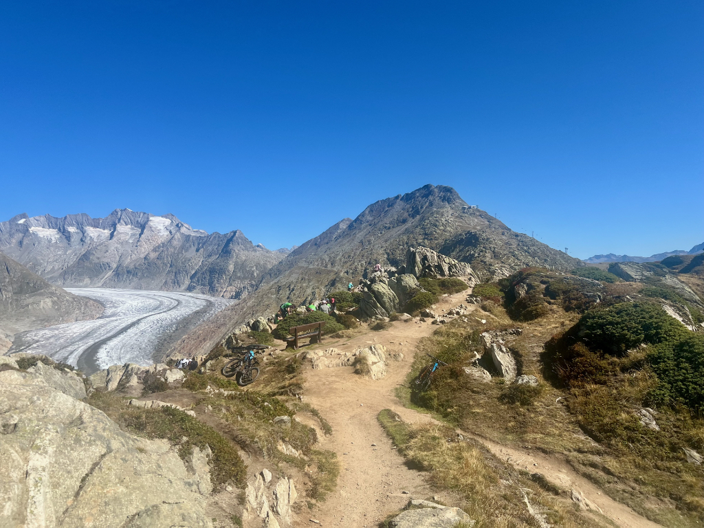
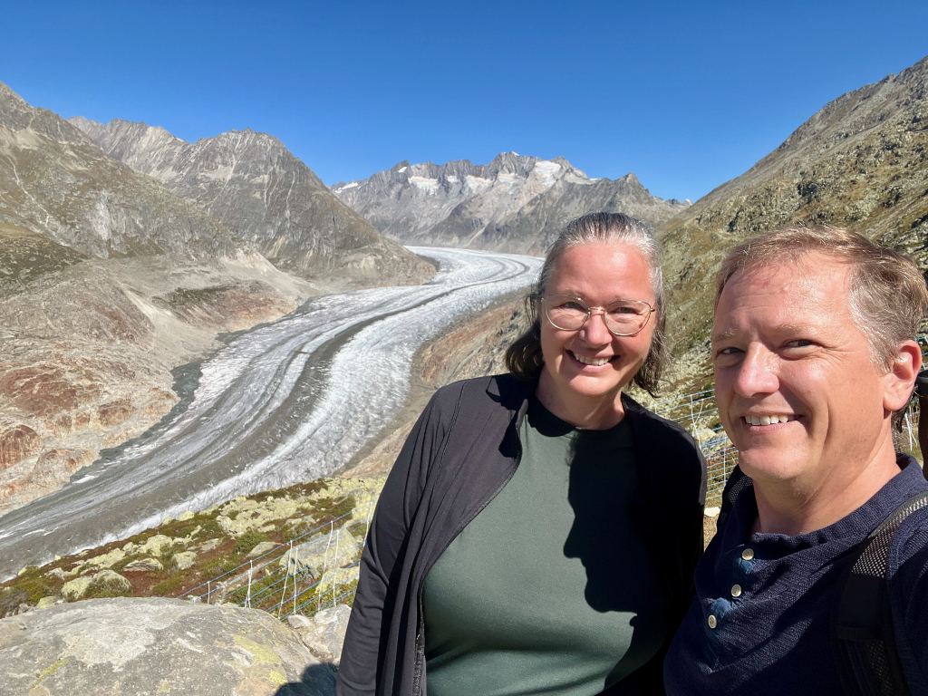
The first part of the trail is along the ridge with stellar views all around not just of the glacier. Even if you don’t hike down into the valley like we did, this viewpoint is worth coming to.
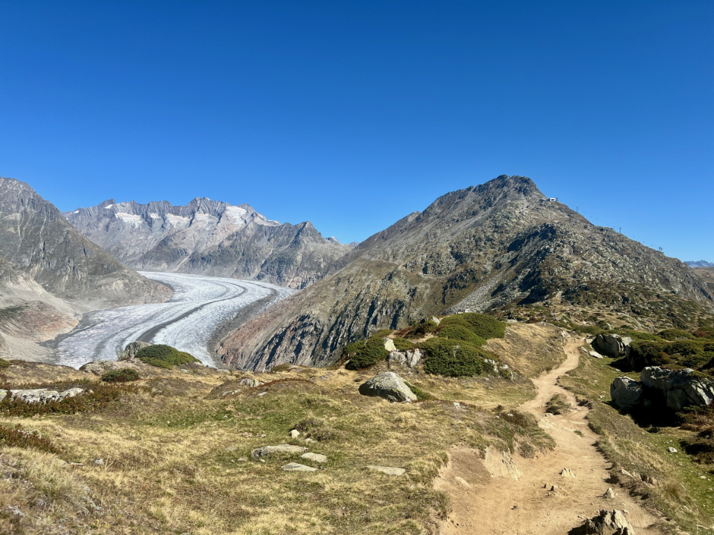
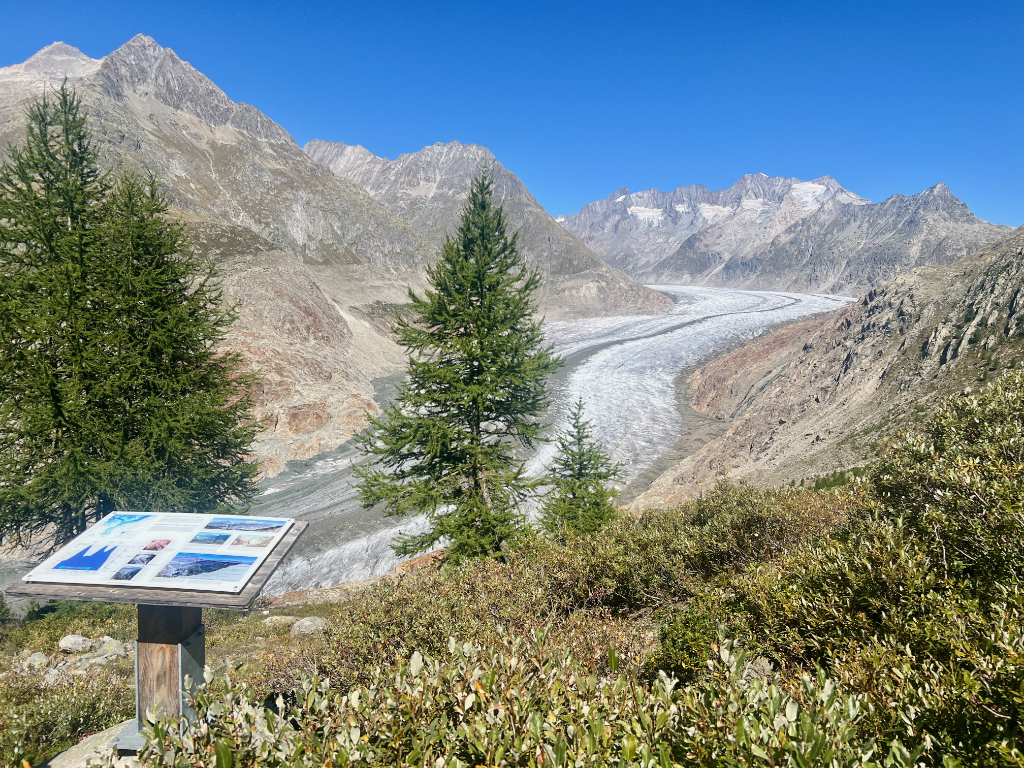
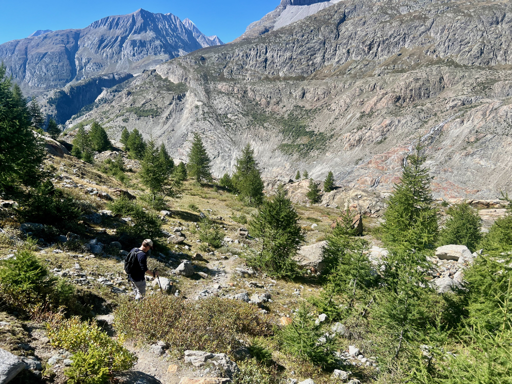
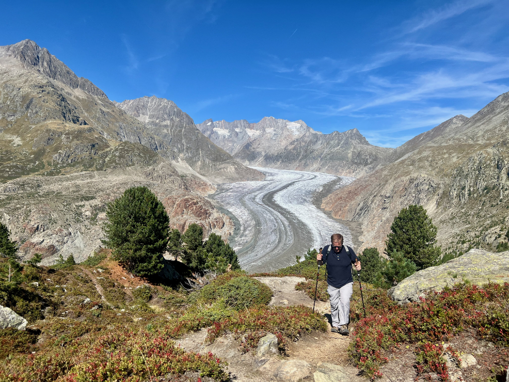
When the trail headed into the valley, it became fairly steep. I like having my hiking poles on this kind of trail for balance. As we hiked down, there were information panels about the glacier. The panel in picture two was at the level where the ice was in 1890. Incredible to see how much of the glacier has melted since then.
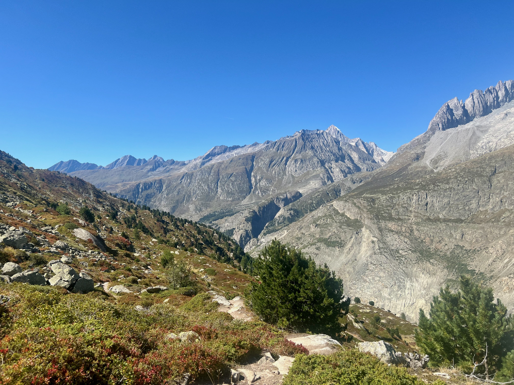
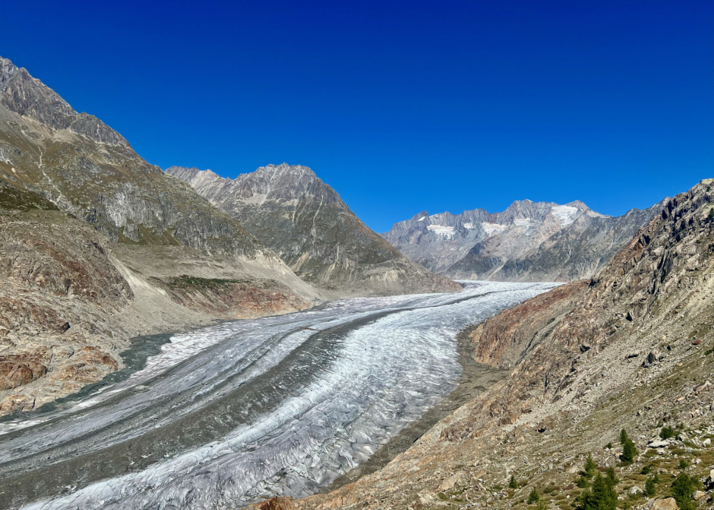
After we snapped the picture above, the trail flattened out bit. Fantastic views both of the glacier and the surrounding mountains.
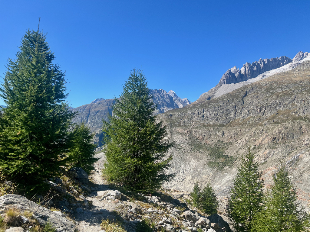
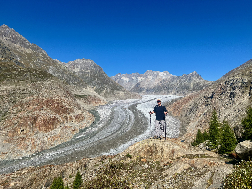
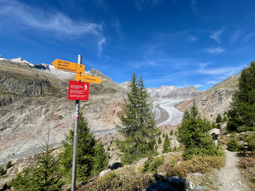
When we reached the sign in picture one below, we had to decide if we wanted to do the spur down to get a closer look at the glacier. It would add about 45 minutes to the hike to do so. We decided we had enough time and went for it. The trail is a bit steep here but not terrible. The rock formations were very interesting. When we arrived at the low point of the hike, there was a group of geology students on the rocks there measuring things and making observations. While we were still quite a way from the glacier itself, we could see the end of the glacier from here (picture 5).
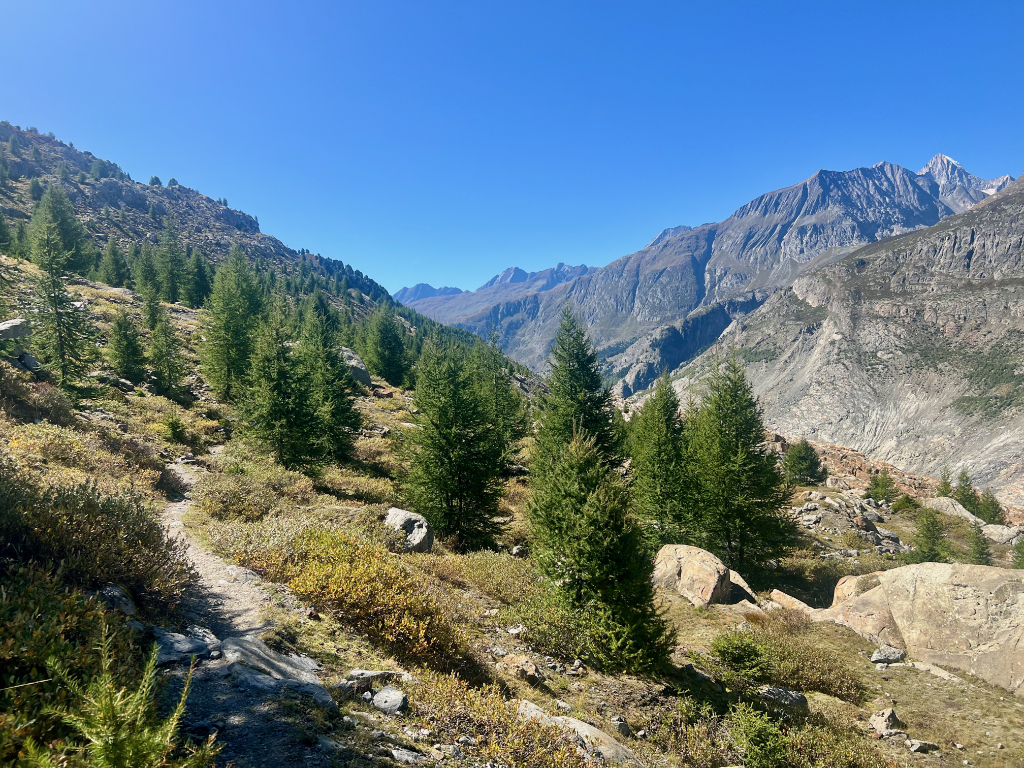
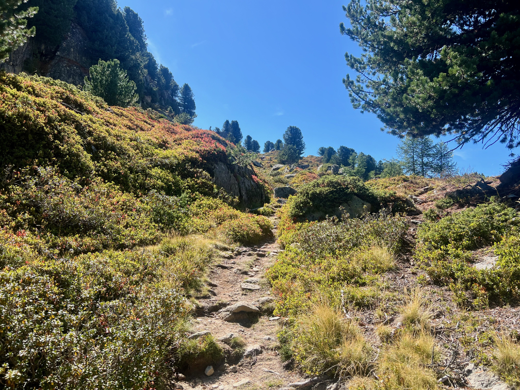
Now it was time for the hike up out of the valley. This part was not as bad as I thought it would be, mostly because a good portion of it was through the forest which provided some very welcome shade.
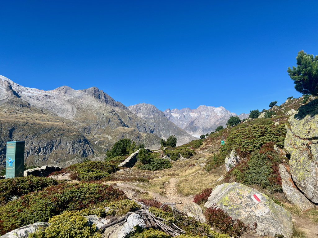
When we reached the top of the ridge, several trails came together. The trail we had come up on (picture one), the trail we originally planned to take (can’t believe I forgot to take a picture of that one), the trail continuing along the ridge (picture two) with the Matterhorn in view, and the trail we were taking down to Blausee and the middle gondola station (picture 3).
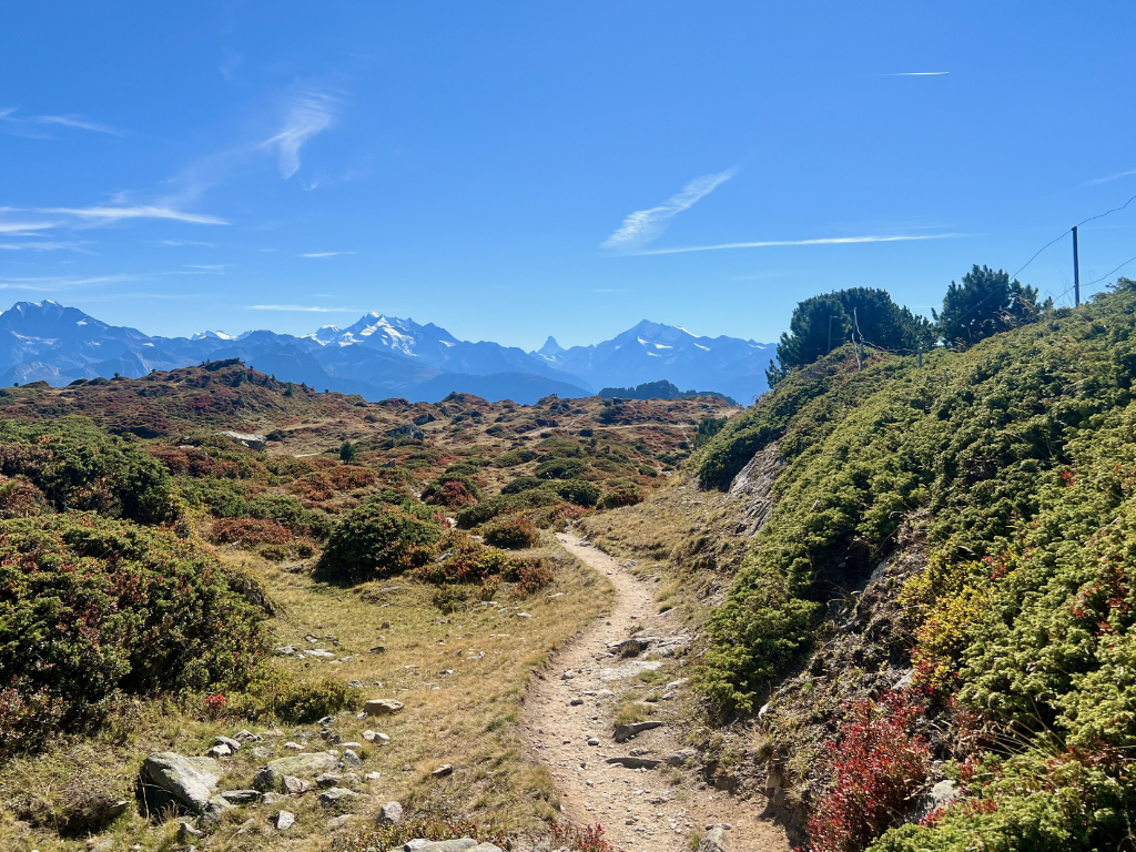
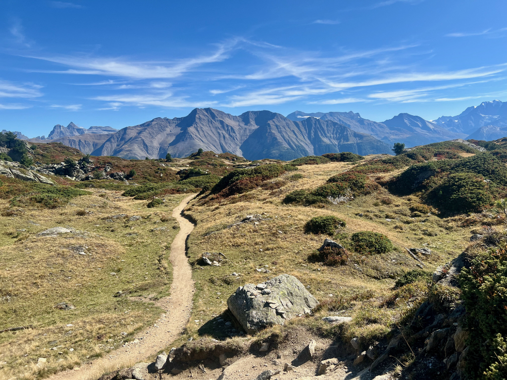
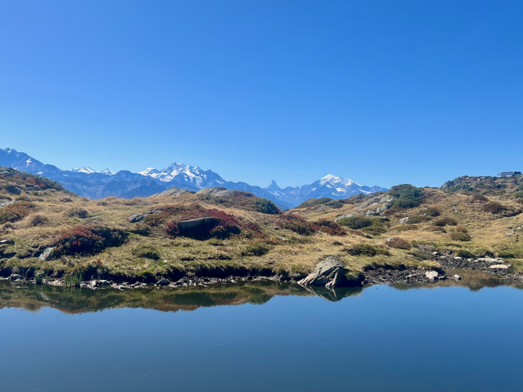
The hike to the middle station was fairly easy with the gorgeous views. In picture two is the Blausee lake (not blue despite the name) and the gondola station where we ended the hike.
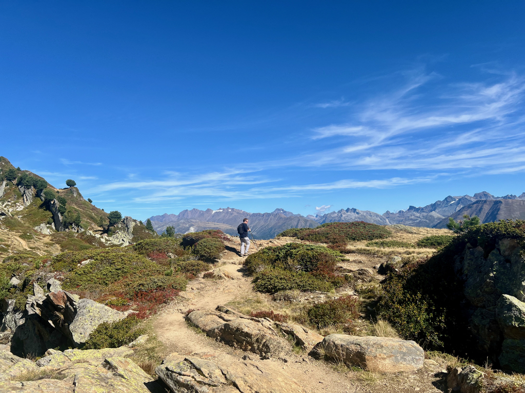
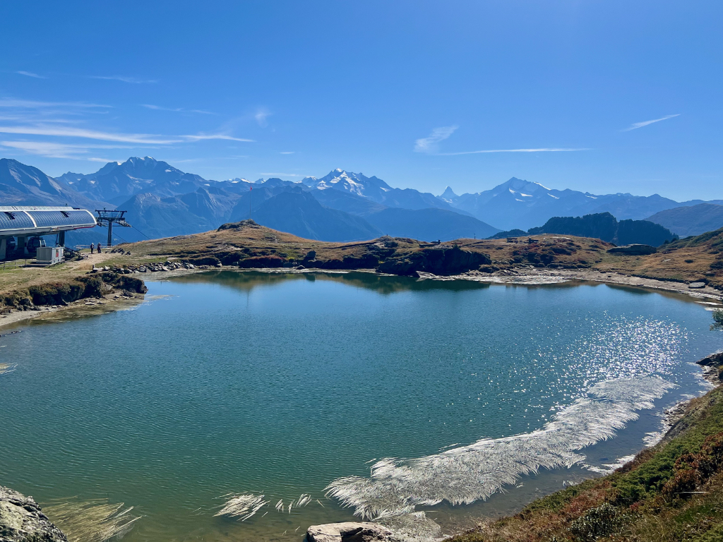
When we reached the gondola station, we ended our hike and rented mountain carts for the ride down.
Mountain Carts
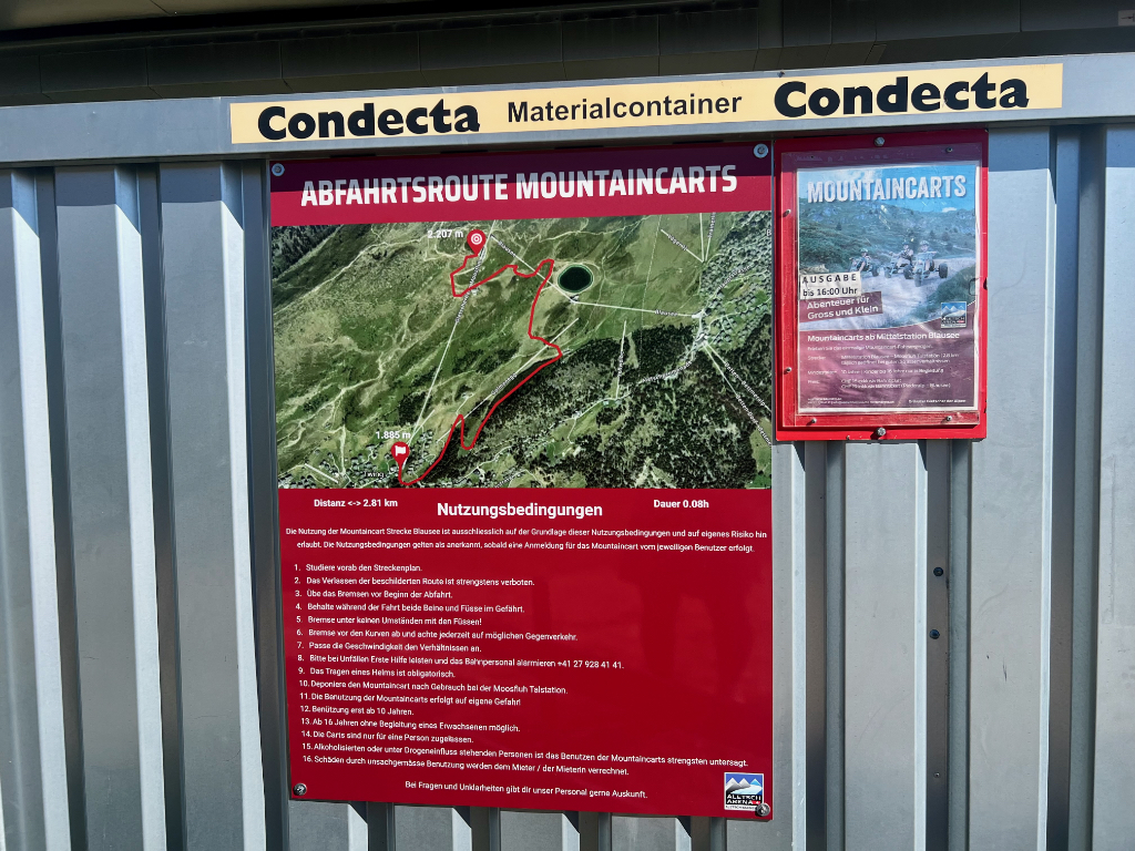
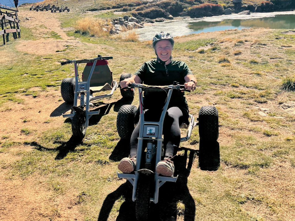
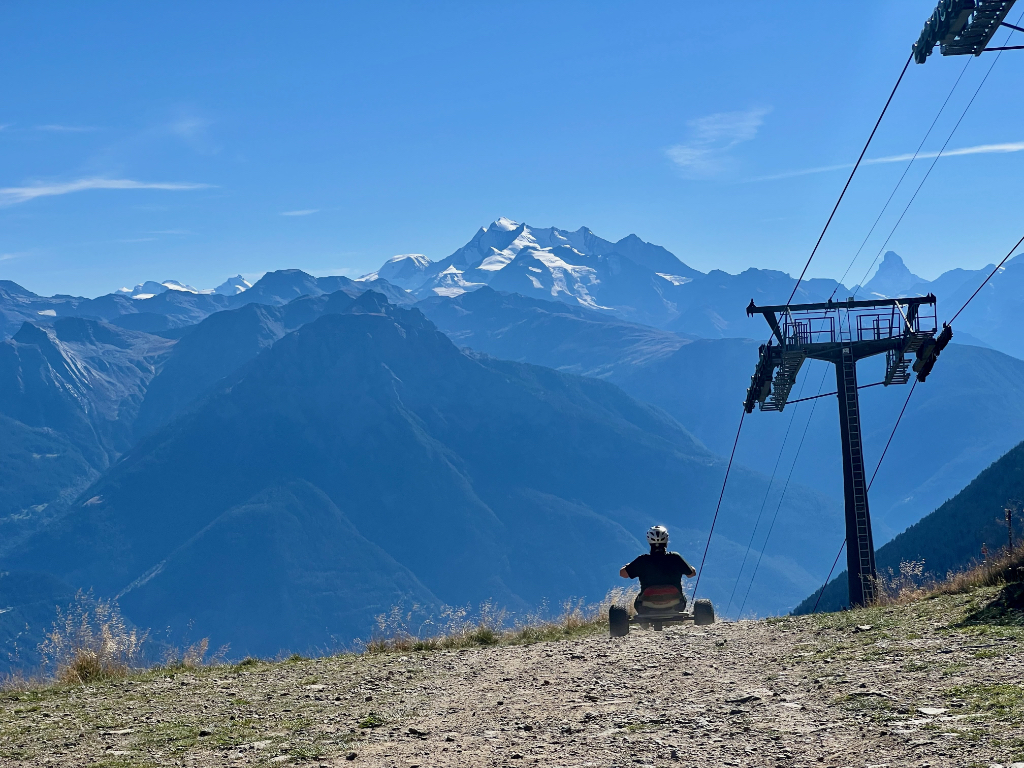
Mountain carts cost 16 CHF each and we were told to pay when we returned the cart at the bottom. We were also able to send our backpacks down on the gondola and could get them when we returned the cart. The mountain cart trail is 2.3 K long and mostly dirt, steep in some parts, but we also needed to push the cart in a couple of spots to keep going. The trail is shared with bikers and hikers and cows so it is important to go carefully. Very fun ride!
When we reached the Moosfluh valley station, we paid the mountain cart fee, returned the carts, and collected our backpacks. What a great way to end an absolutely fantastic hike. My husband said this was probably his favorite hike we’ve done in Switzerland. Not sure this is my new number one, but it is a favorite for sure. I highly recommend this hike.
Leave a Reply