
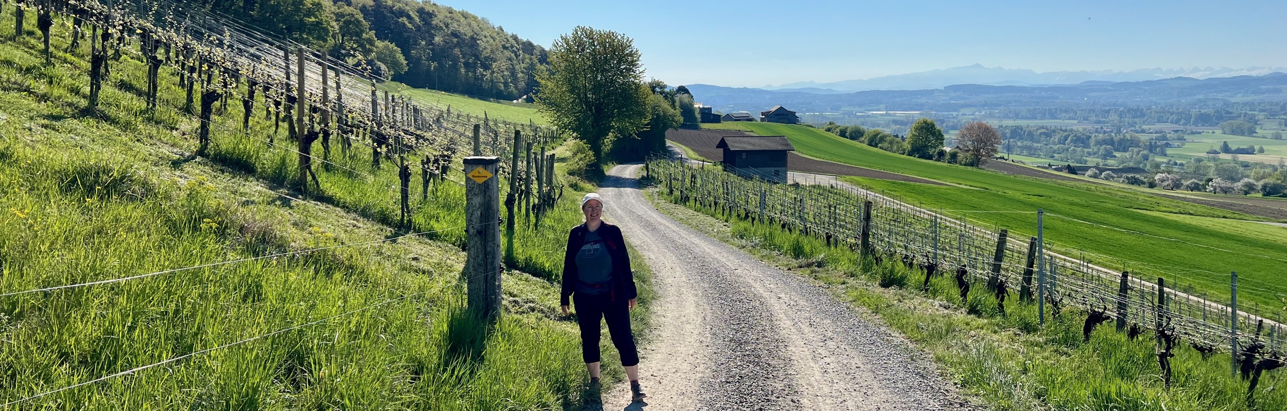
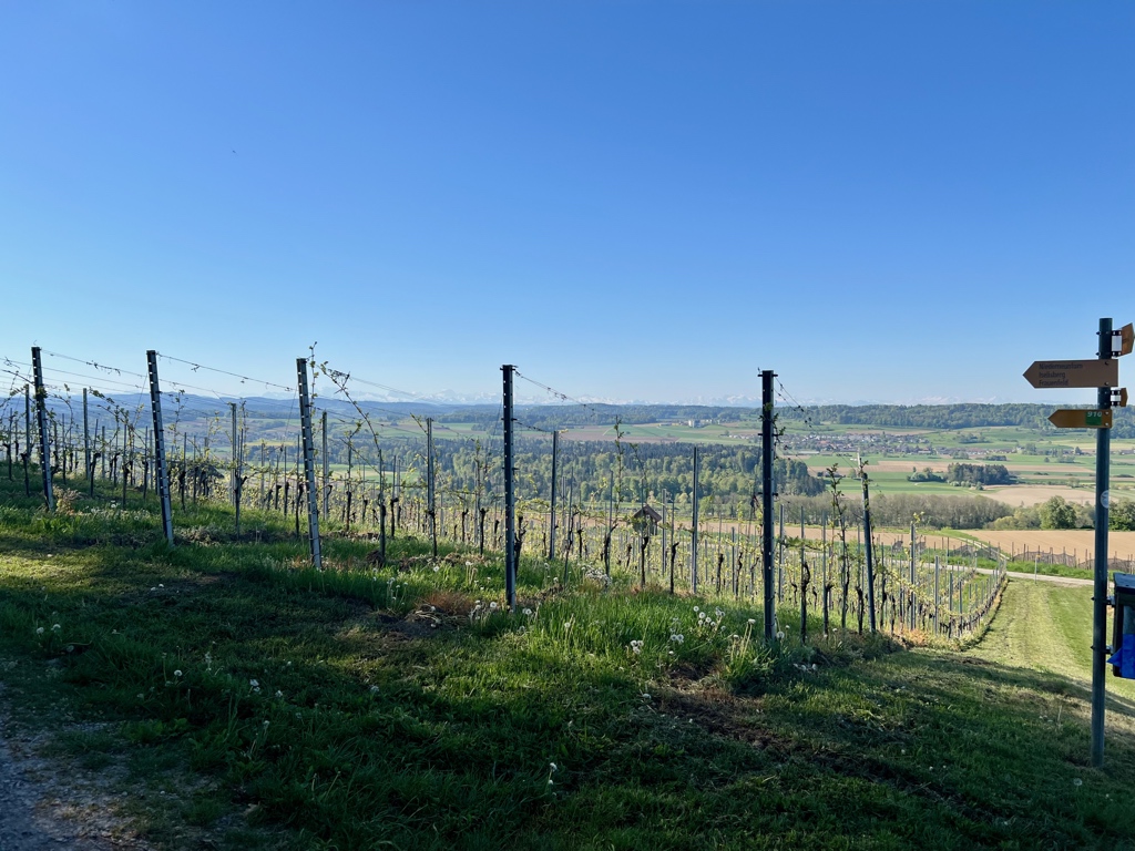
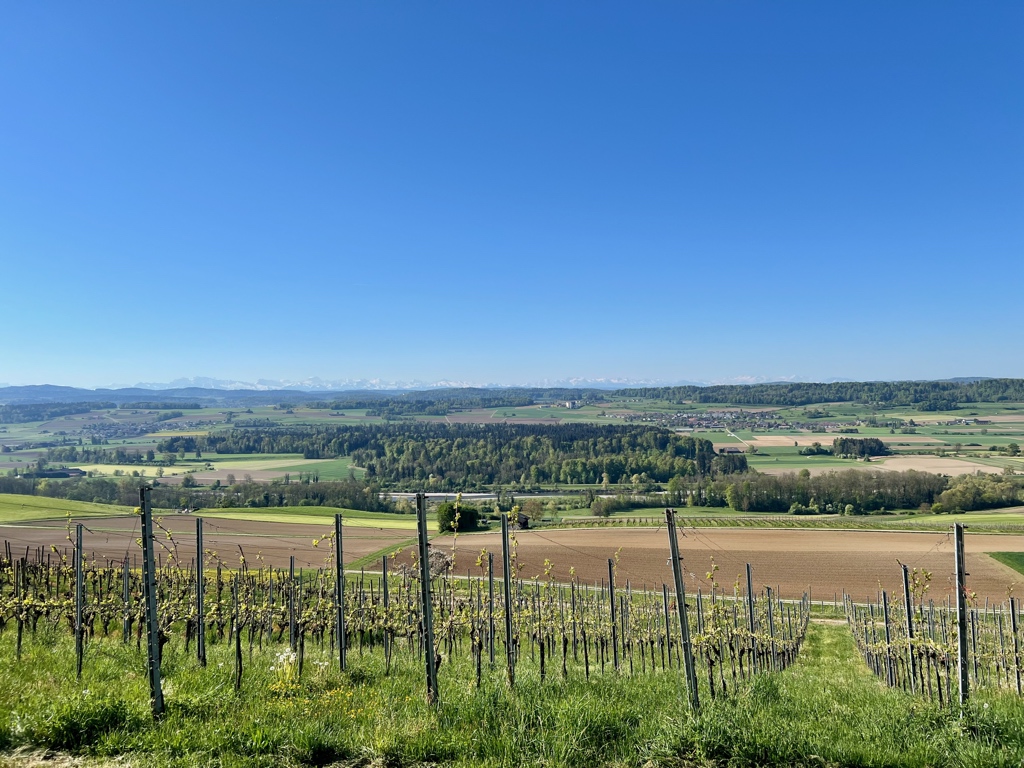
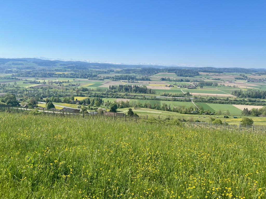
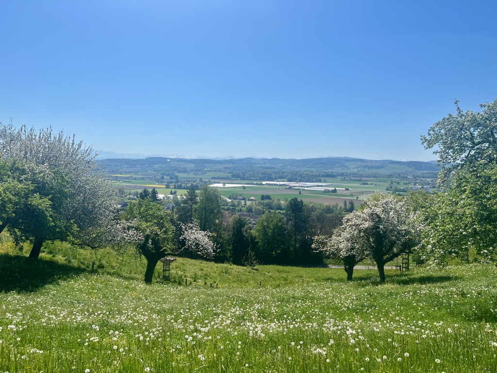
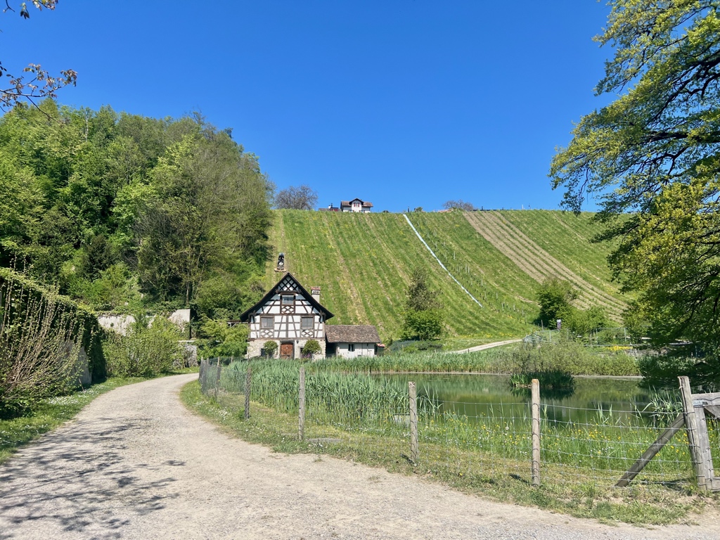
The Thurgauer Rebenweg Trail is 14 k long with 240 m ascent and 300 m descent and goes from Oberneunforn to Frauenfeld. As I expected from the trail name, “Rebenweg” meaning vine path, this trail passes through vineyards, but I was also pleasantly surprised that, on a clear day like we had, this trail also has beautiful views of the distant alps.
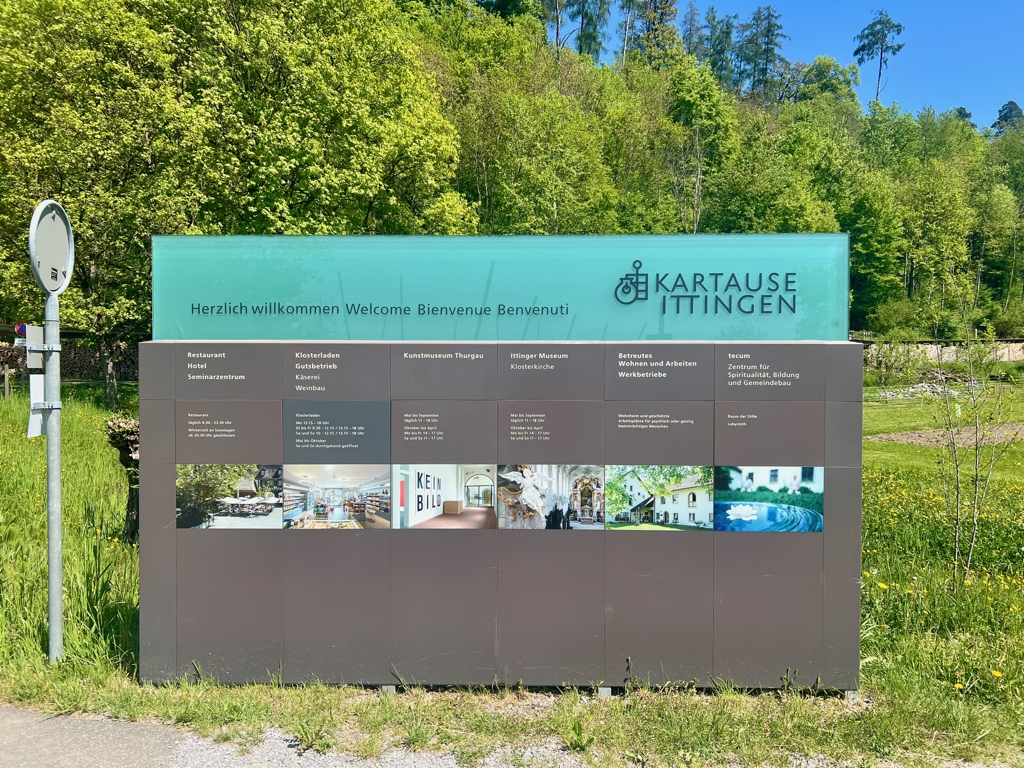
Along the way is the Karthaus Ittingen, a former monastery, now history and art museum, education center, hotel, restaurant, farm store, and agriculture business. We stopped in at the farm store and the museum and found them to be fascinating and well worth our time.
Detail Summary
| Where: | Oberneunforn to Frauenfeld Canton Thurgau, Switzerland |
| Train: | Zürich HB -> Oberneunforn, Gemeindehaus – 1 hr 11 mins Frauenfeld – > Zurich HB – 38 min |
| What: | Hiking Thurgauer Rebenweg Trail – Oberneunforn to Frauenfeld (SwissMobility) Yellow trail markers with green number 910 – Thurgauer Rebenweg |
| Skill: | Easy – About 3 hr 35 min Length 15 km, Ascent 240 m, Descent 300 m |
| Cost 2026: | Free to hike. Admission to the Karthaus Ittingen Museums Adult: 10 CHF |
Additional Info
| Thurgauer Rebenweg Trail – Oberneunforn to Frauenfeld (SwissMobility) Trail Map (SwissMobility) VOR radar stations (wikipedia) Karthaus Ittingen Ittingen Museum Ittingen Museum (German – Thurgau Tourism) Ittingen Charterhouse (wikipedia) Reliquary (wikipedia) The Carthusian order (wikipedia) Saint Bruno |
Getting There
This is a point-to-point hike, so best done with public transportation. This trail starts by the Oberneunforn, Gemeindehaus bus stop. However, depending on where you are coming from and when you arrive, it may be best to get a bus to the Oberneunforn, Dorf bus stop and walk the 500 m or so to the Gemeindehaus. This was the case for us.
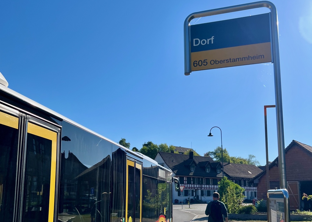
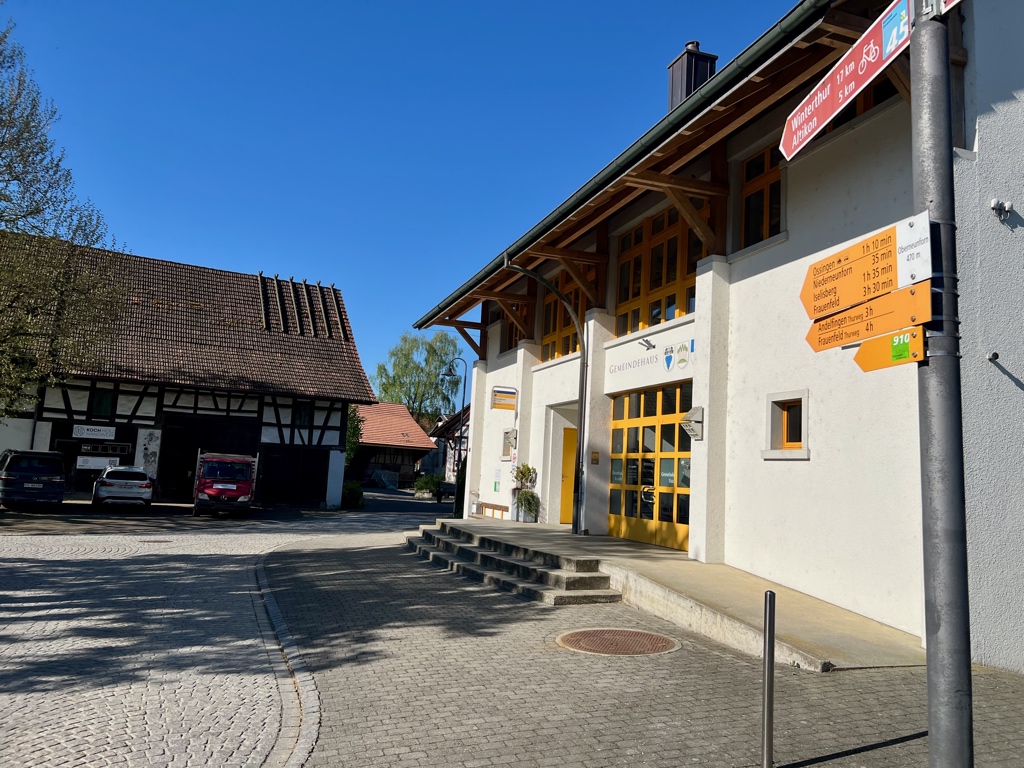
After getting off the bus, we walked the short way to the Gemeindehause where we found the sign for our trail and then we were on our way.
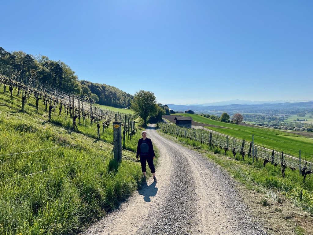
The Trail
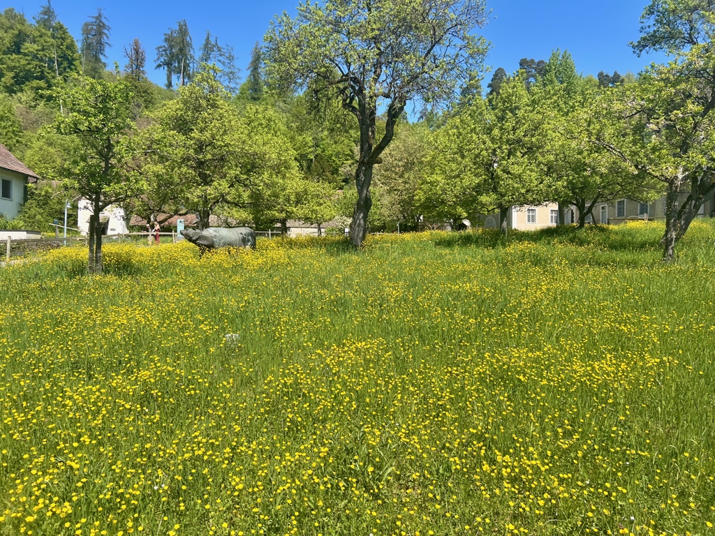
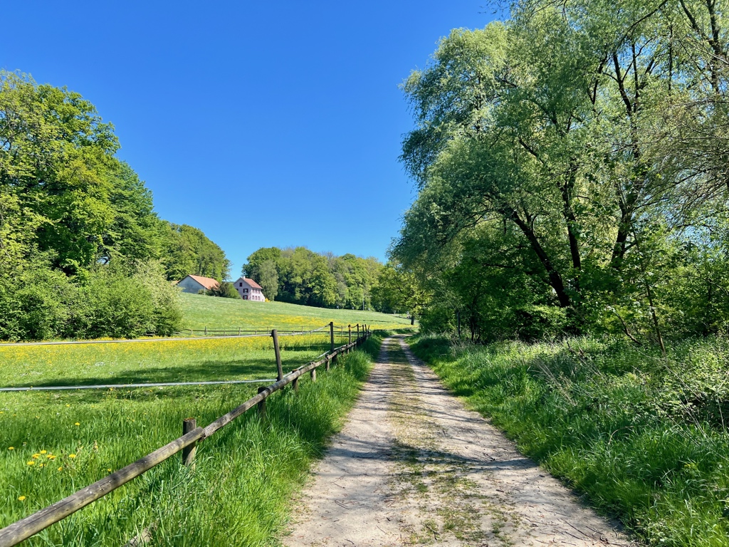
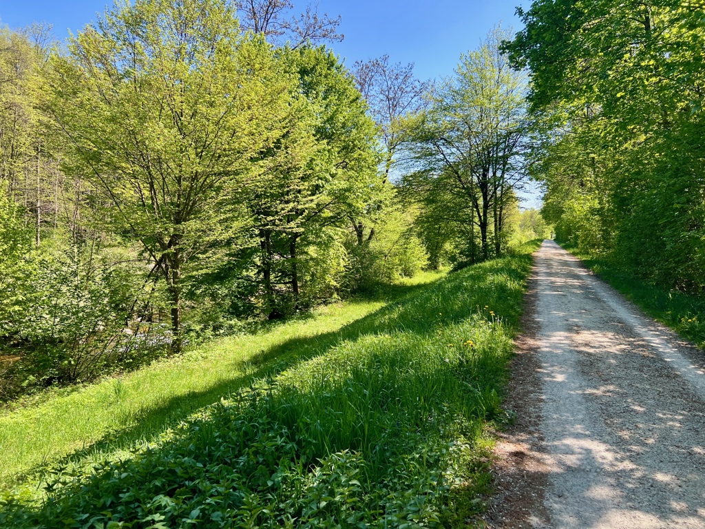
After a short walk through town and then past some farms and fields, the trail headed up the hill and into the vinyards. This part of the trail was very beautiful even though the leaves were just starting to emerge from the buds on the vines. I bet that it is truly stunning later in the summer and into the harvest season.
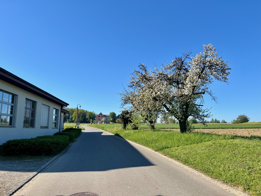
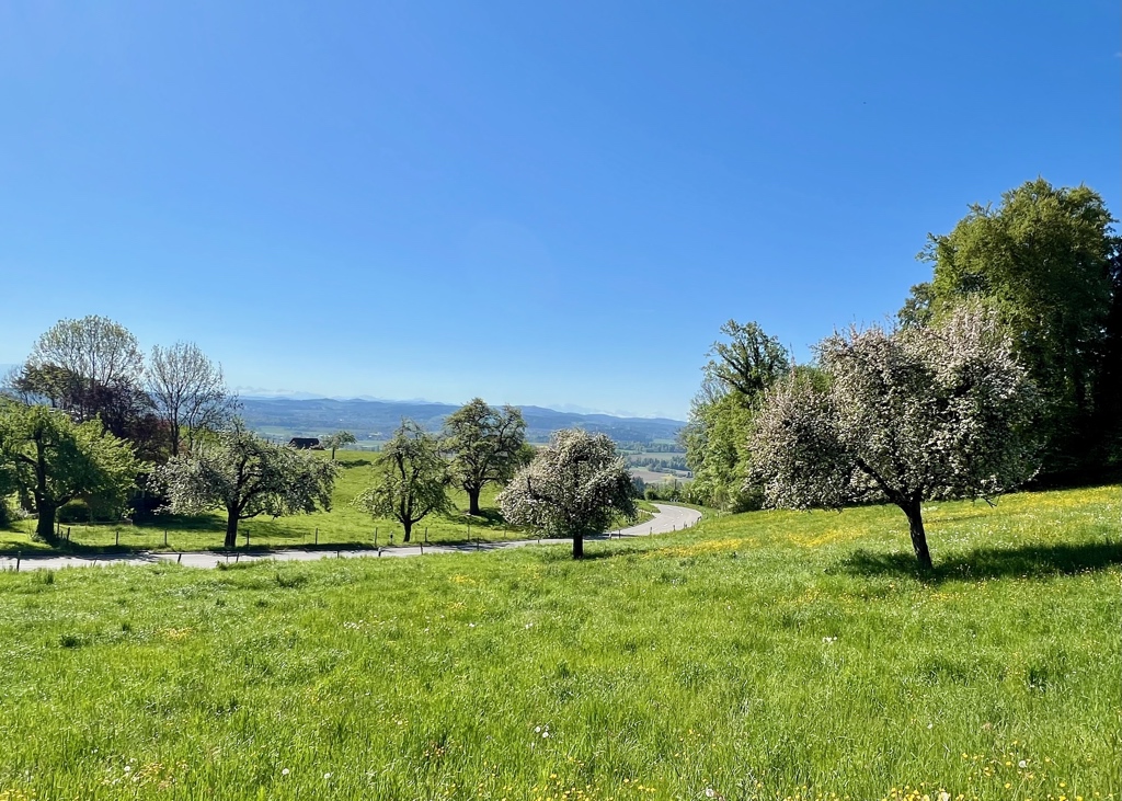
Springtime has its advantages. The blooming cherry trees and the fields of buttercups were absolutely lovely.
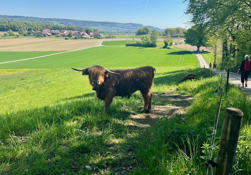
As we were hiking, we saw signs for a “Tag der Offene Wasserkammer,” an Open House Day for the Community Water System. When we arrived at the water pump station, there was a crowd of people assembled for the Open House day blocking the path. In classic Swiss aperò fashion, they were drinking wine (at 10 am) and eating some very delicious looking snacks. We thought it might be interesting to see the water pump system so rather than just hiking through before the speeches started, we stopped to listen. The first person gave a ten minute talk thanking all the people who made this event possible and then welcomed the main speaker for the event. His speech started with a description with how the town water system was back in the 1950s when he was just a boy and went on from there. Twenty minutes later he had gotten to where things were in 1990. He then took another twenty minutes or so to get to the present day. When he was done, we decided to just slither through the crowd and keep hiking before the third speaker began his speech. So, although we didn’t get to see the water pump system, we did get a history lesson. I am not including a picture of the open house because while it was clearly a very proud moment for the community, we aren’t a part of that community. I am not going to post a picture of a crowd of specific people I don’t know on my blog. So instead, I’m including a picture of the very fluffy cow we saw a short way further along on the trail.
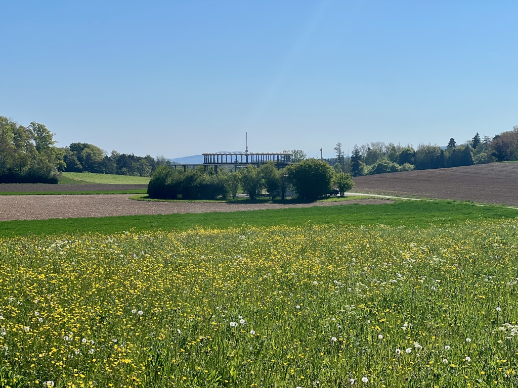
Speaking of history lessons, when we saw the structure in the second picture above, my husband said it appears to be a VOR radio navigation station. As he loves all things aviation, we took a short detour to get a closer look. It was, in fact, a VOR station and I got a history lesson about radio navigation systems for aircraft.
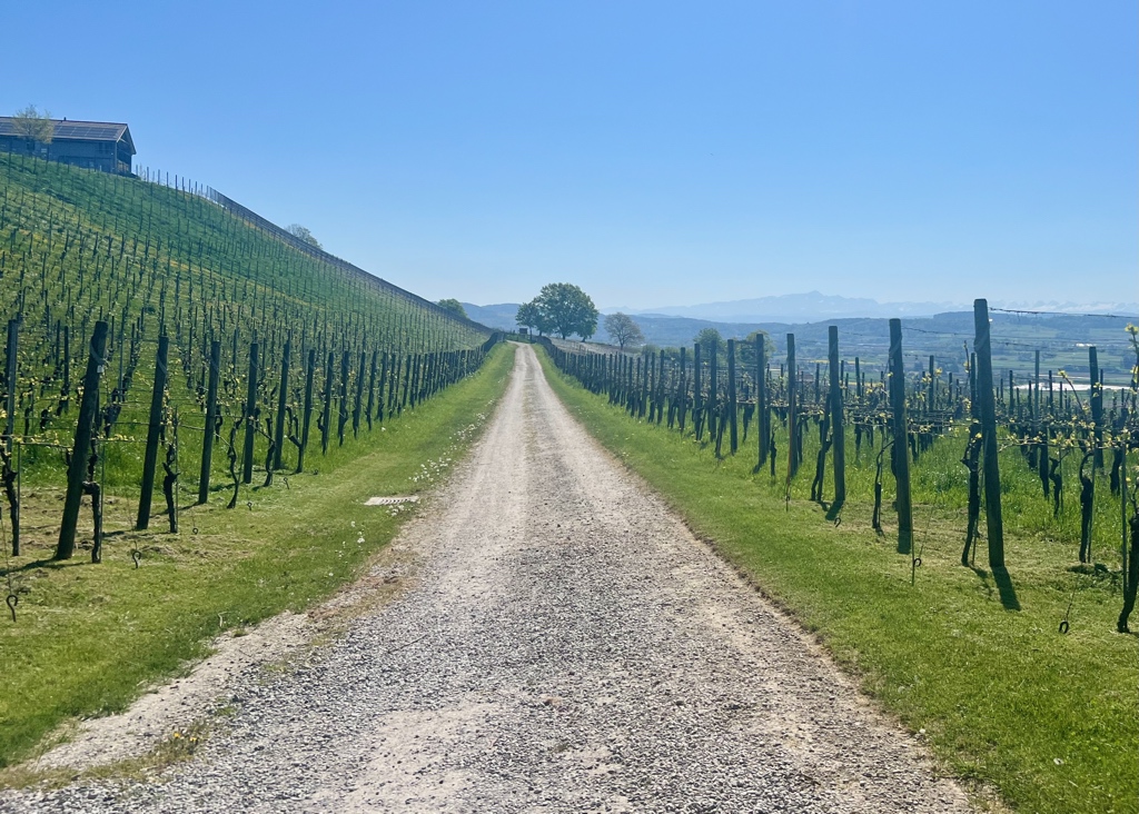
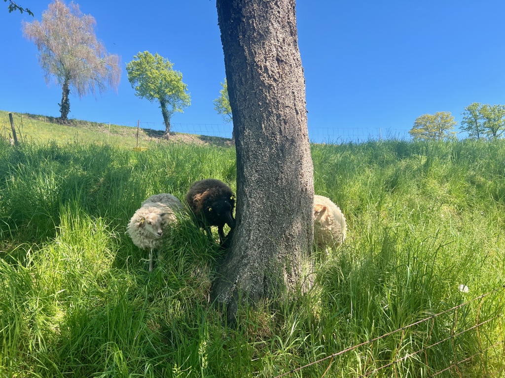
Unfortunately, the winery we passed in the first picture below was not open for tastings. We did, however, stop for a picnic lunch a short time later at a bench right next to the three cute sheep in picture two below.
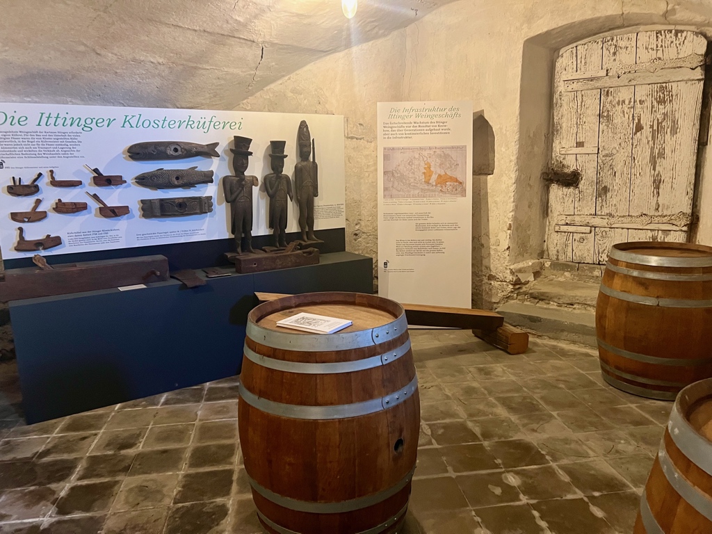
When we arrived a the Karthaus Ittingen, a former monastery, now history and art museum, education center, hotel, restaurant, farm store, and agriculture business, we decided to check it out. Why not, it was a day for history lessons after all.
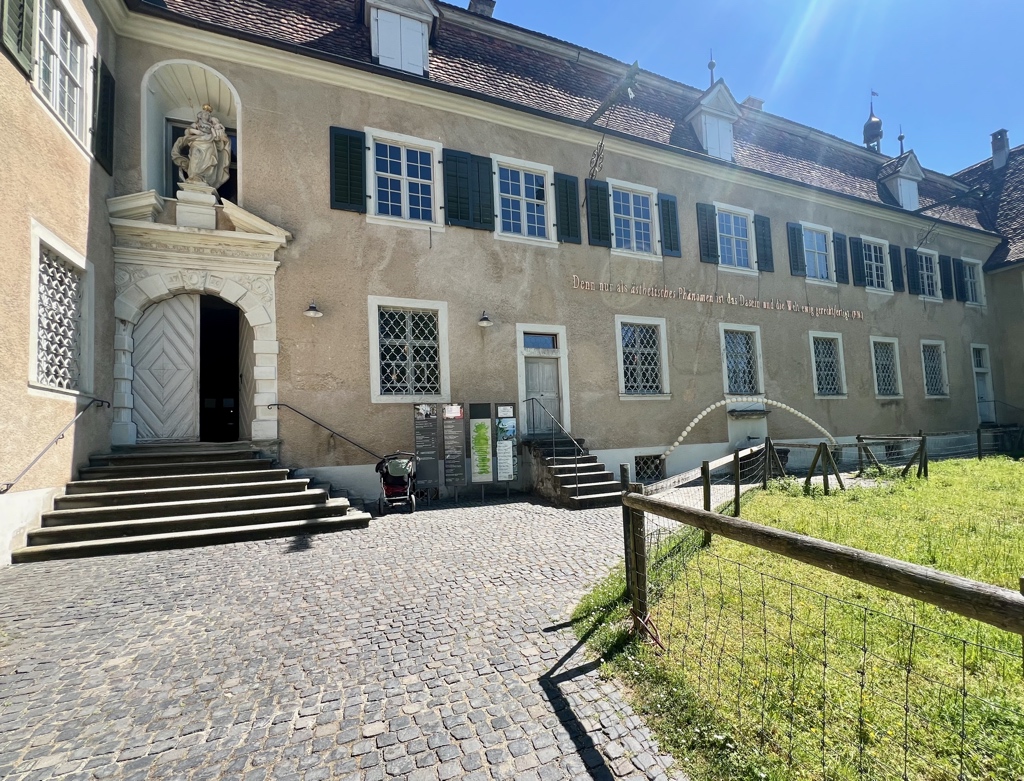
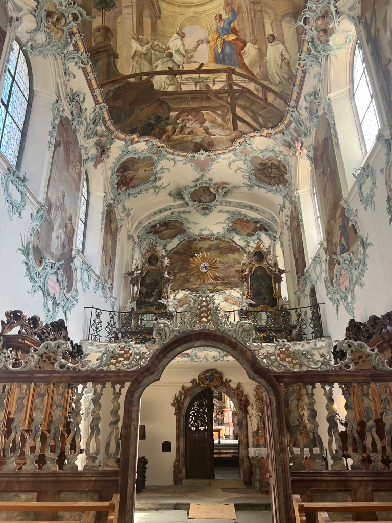
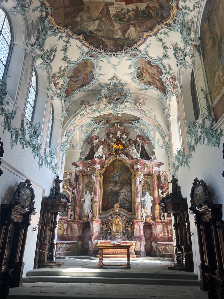
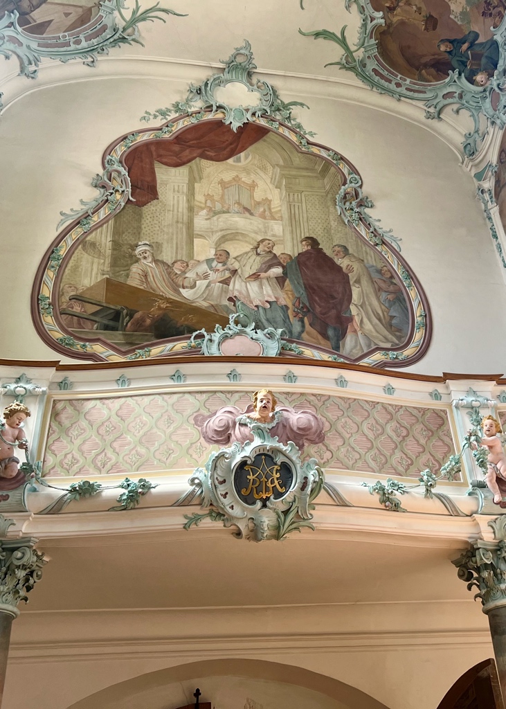
Kartause Ittingen is a former catholic monastery founded in 1150. In 1461, the monastery came under the carthusian order and remained so until it was dissolved in 1848. After entering the museum, the first thing we checked out was the very ornately decorated chapel.
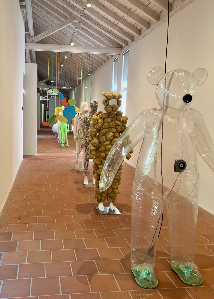
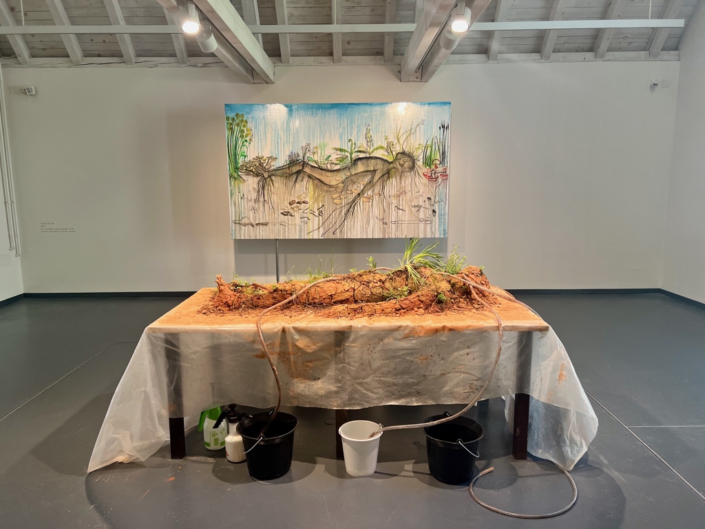
After leaving the chapel, we went to the section that is now a modern art museum. The current installation (work by the artist Fabrice Hyber) was a bit on the bizarre side but photogenic.
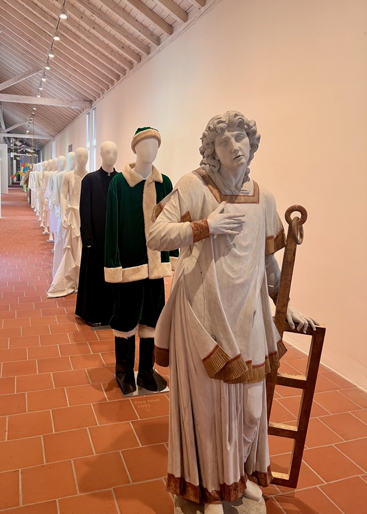
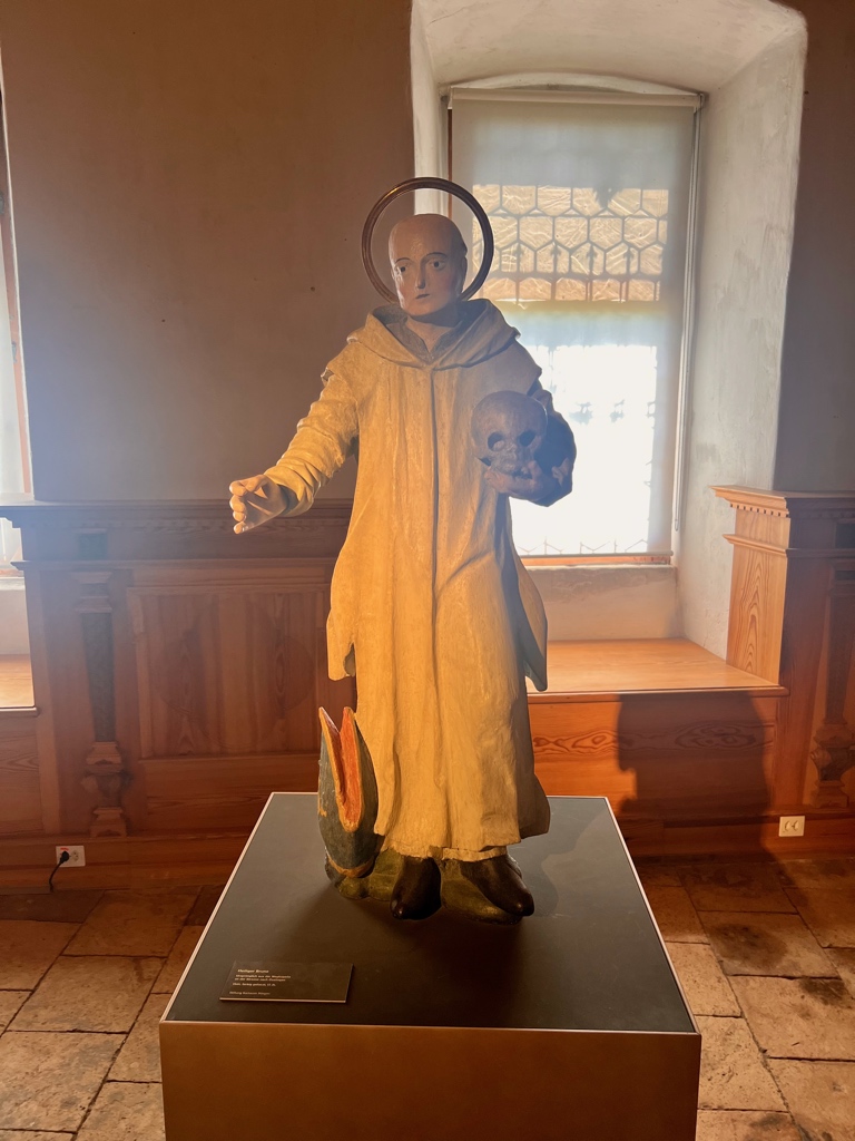
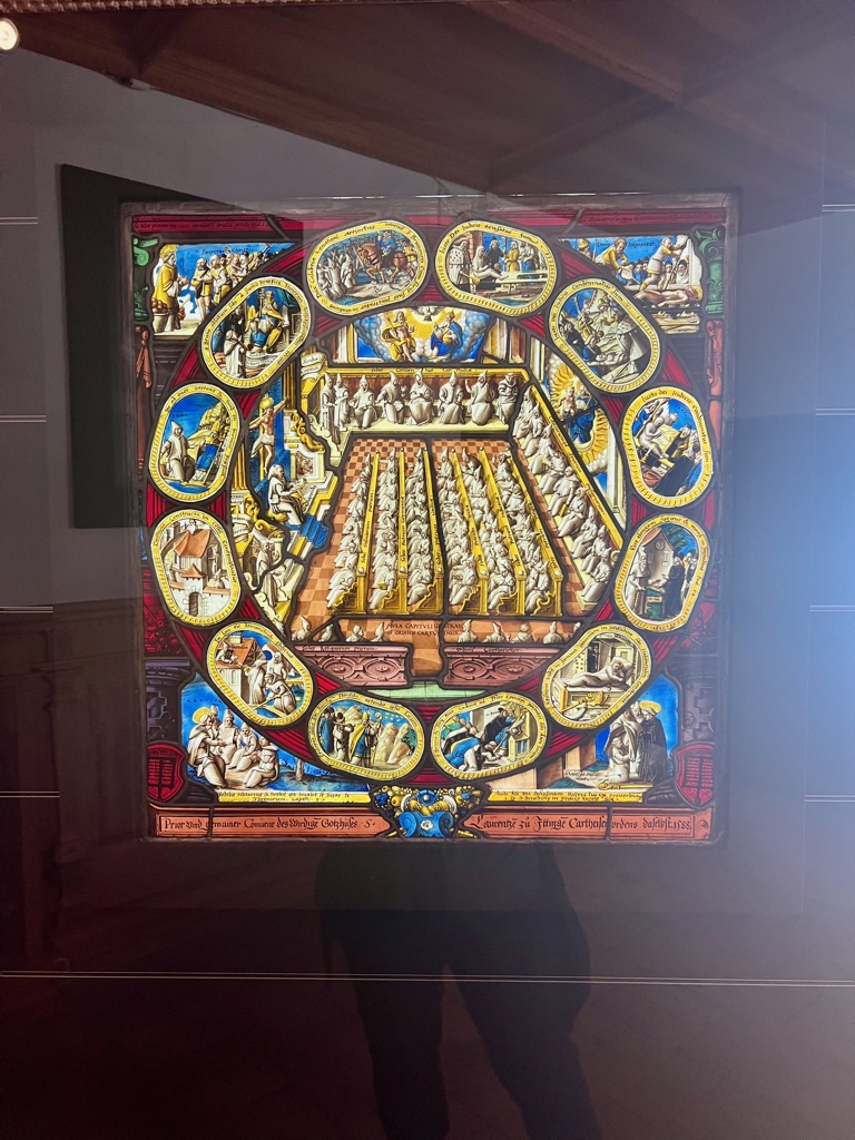
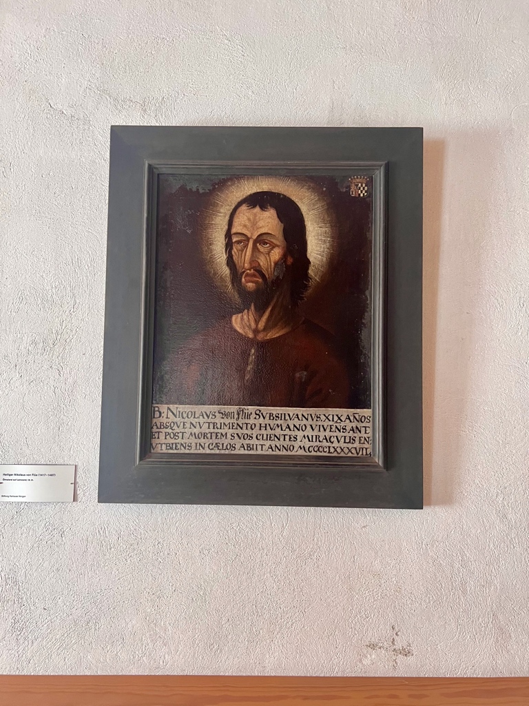
As we continued walking around, we saw more traditional monastery art. For example, a statue of Saint Bruno, the founder of the carthusian order, holding a skull. I read that he is often depicted this way to symbolize his focus on meditation and thoughtfulness. One of the lower rooms in the complex is set up as a meditation center. The stained glass in picture two below depicted scenes of the monks from when the monastery was at full capacity. And, we also spotted a portrait of Nicholas von Flüe, the patron saint of Switzerland, whom we first learned about while hiking trail 2 where on stage 17 we followed a part of his pilgrimage path and toured his original home and on stage 18, we hiked past the site of his hermitage.
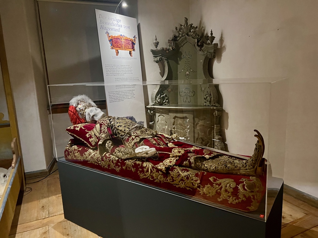
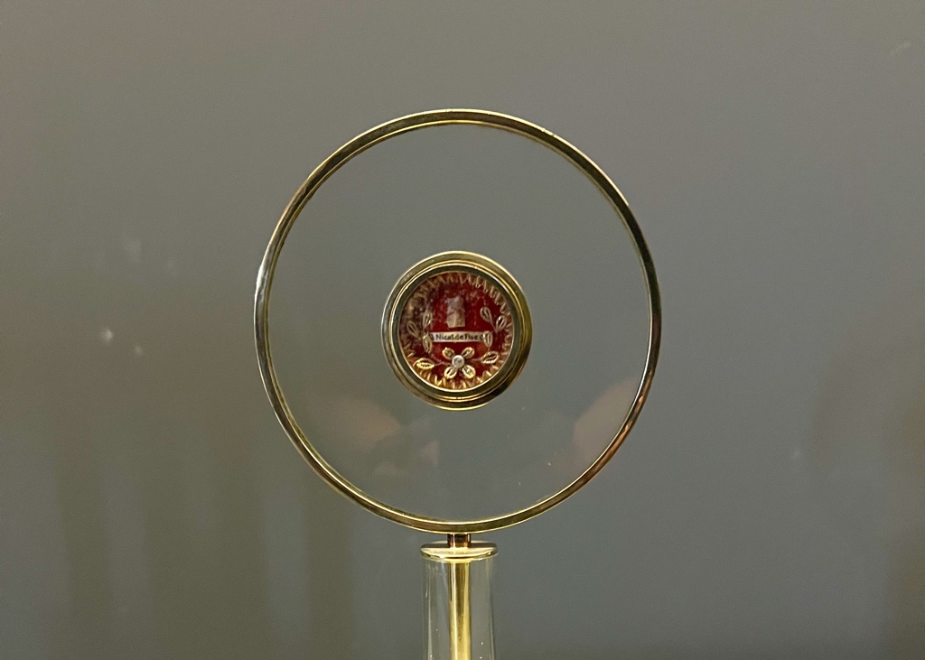
The special exhibit going on when we toured the museum, was about Catholic reliquary – the bones or hair of saints kept as keepsakes. No one knows if any of them are really the bones of the honored saint, but the ornate objects were a way to remember and venerate the person. All of relics here are ones from the local Thurgau area. They even had one that was purported to be a piece of bone belonging to Nicholas von Flüe.
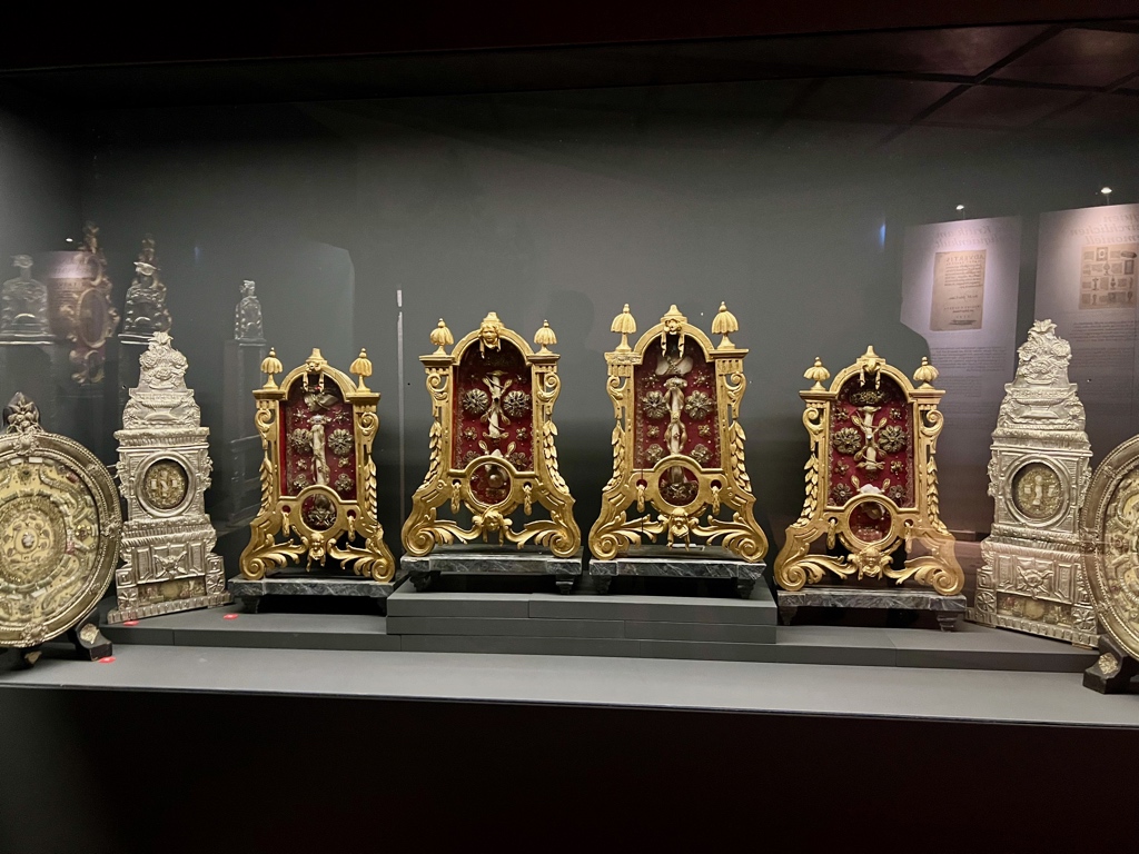
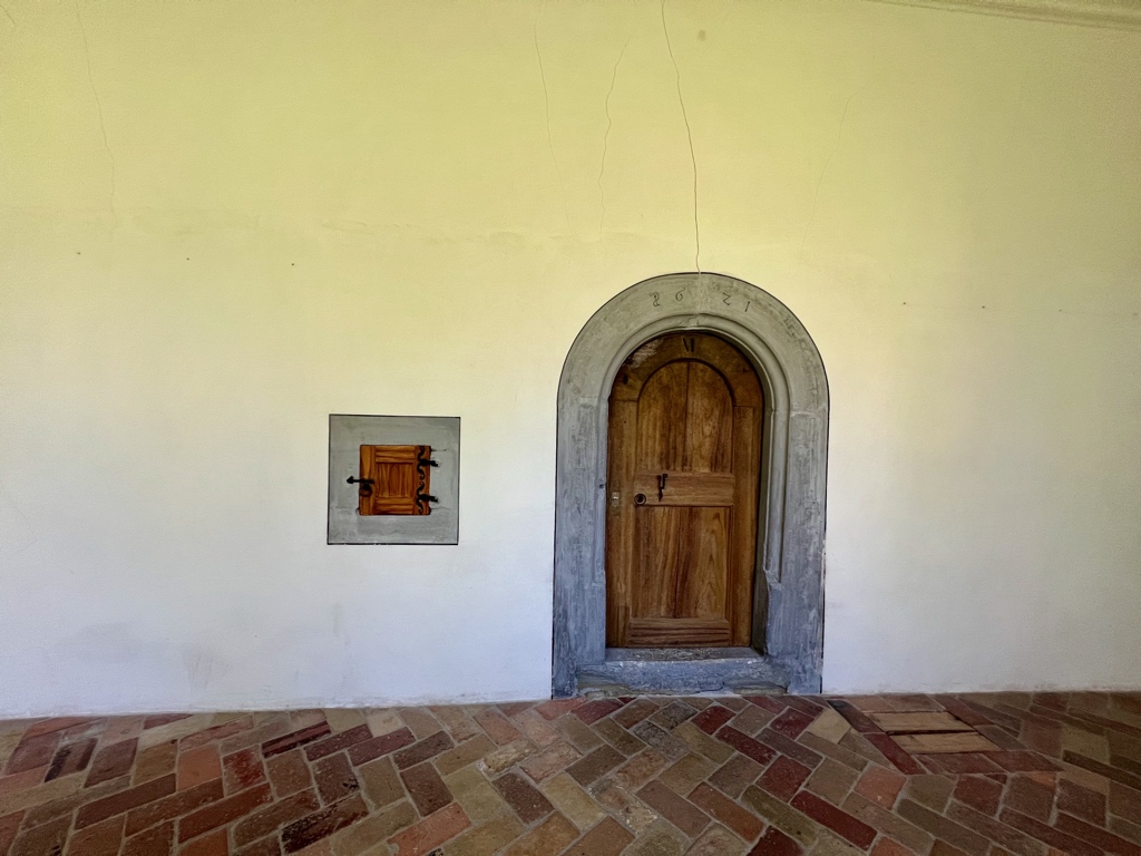
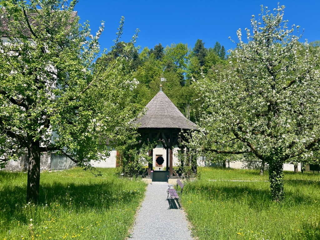
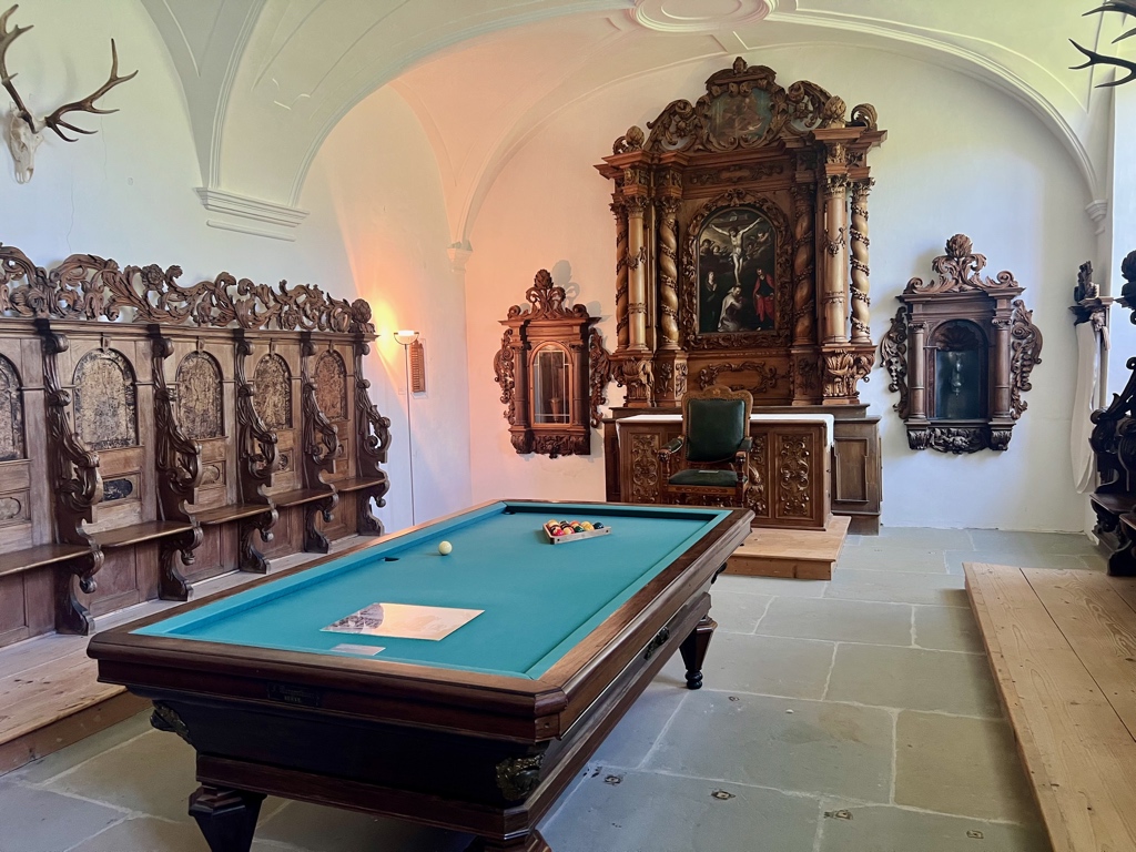
Aside from art (modern, traditional, religious, and ceremonial) the museum also contains information about daily life at the monastery. I found all the doors of many different sizes interesting. The central courtyard was so peaceful and lovely. And unsurprisingly, wine making was an important part of the agriculture here. Surprisingly, from 1867 to 1977 the complex was private property. The Fehr family lived here and used the monastery complex as a manor house. They had even converted chapels into rooms for completely non-religious purposes such as a billiard room as seen in the fourth picture below.
The museum was a good stop, and I recommend adding it to your agenda if you decide to do this hike. There is also a restaurant and farm shop at the complex. We didn’t try the restaurant, but we bought some cheese, cakes, and wine from the farm shop, which we enjoyed later.
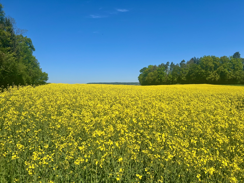
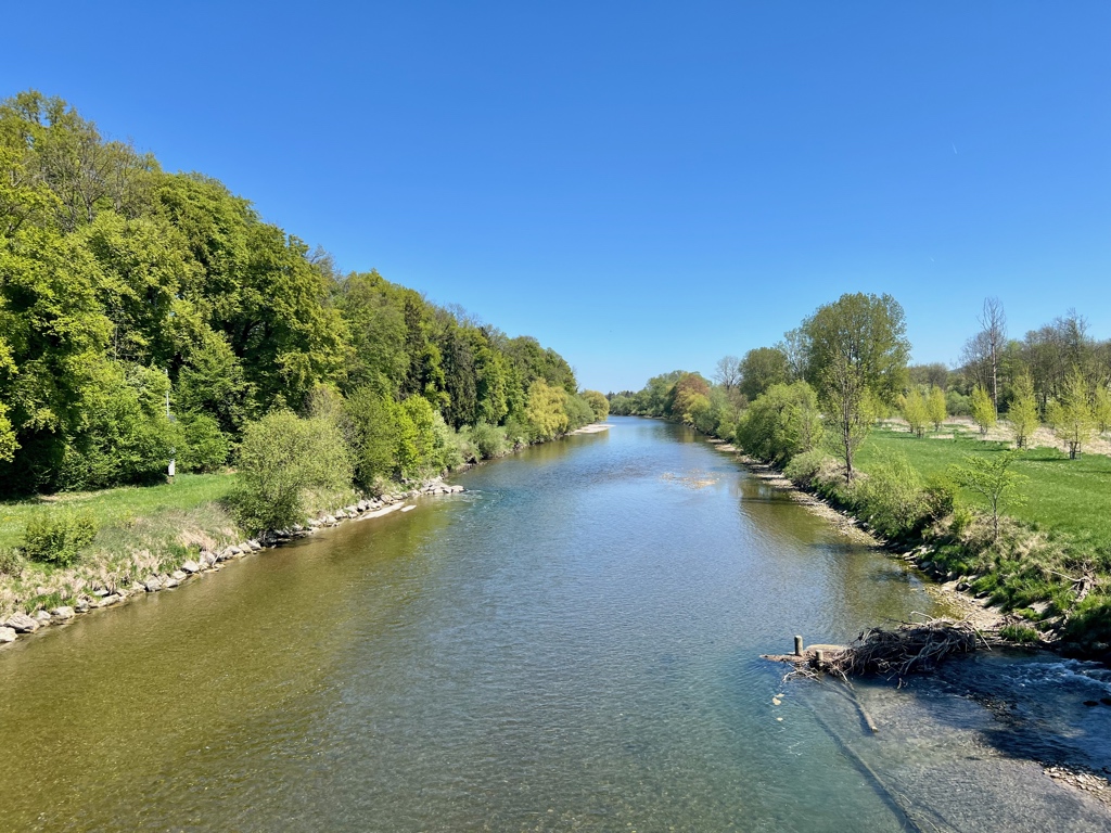
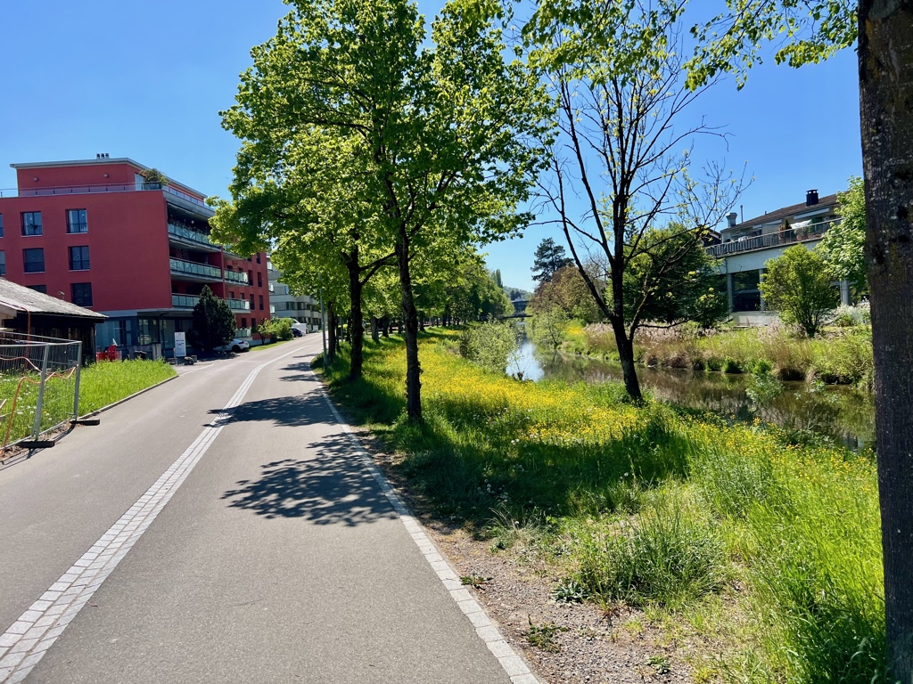
The rest of the hike, from the museum to Frauenefeld, took us through fields and farms and over the Thur river.
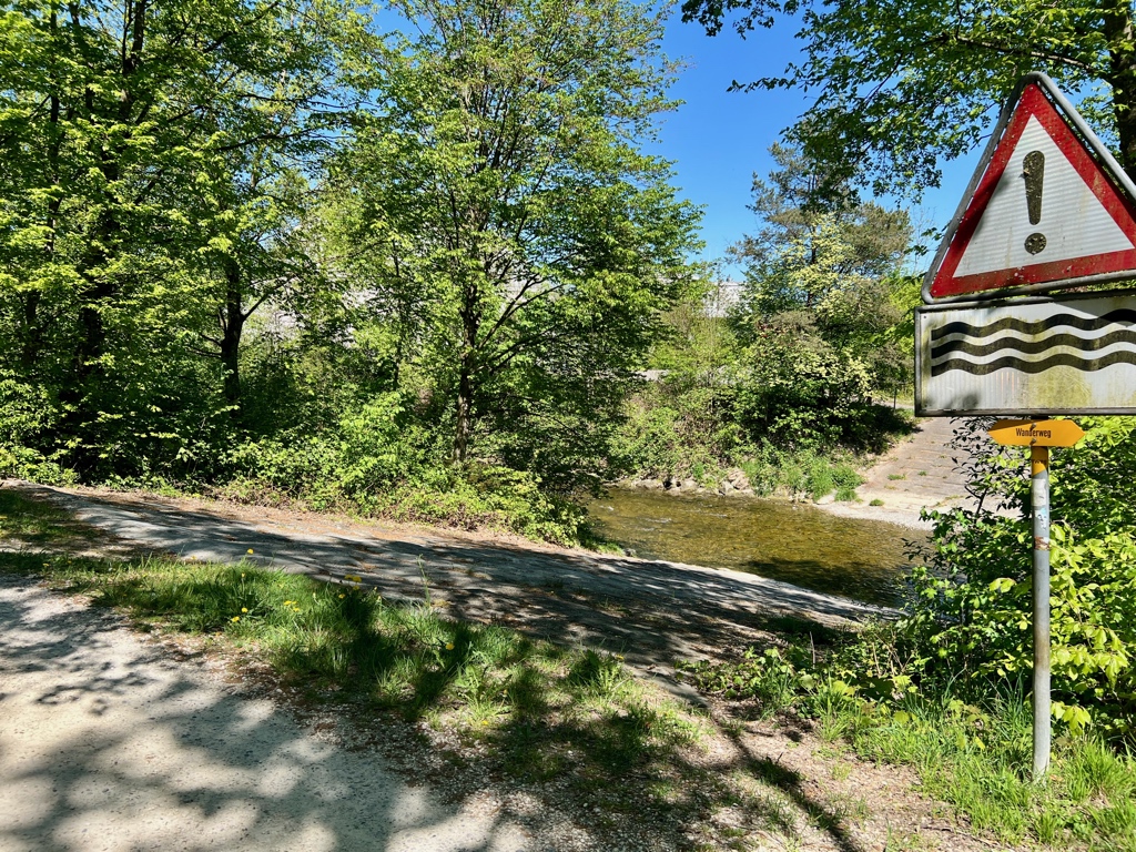
This area can sometimes be closed for military practices, so pay attention to signs. In the fourth picture above you can see a military practice area for driving over canals.
Getting Back
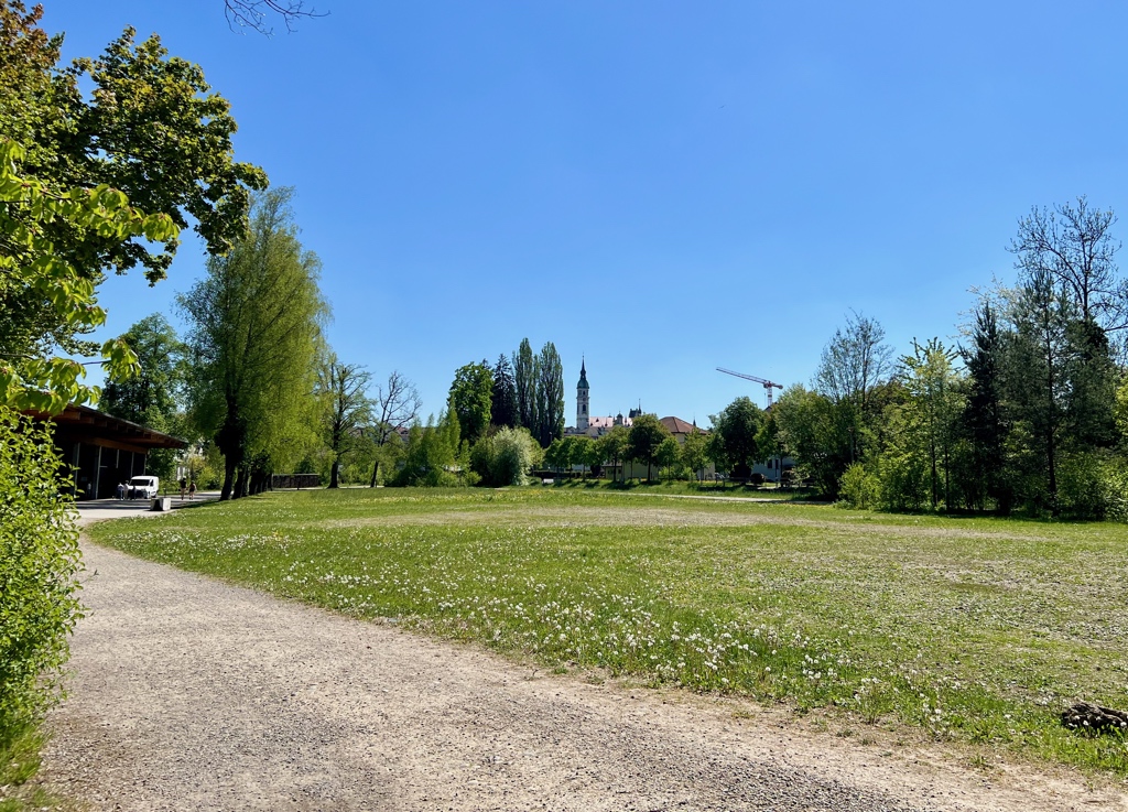
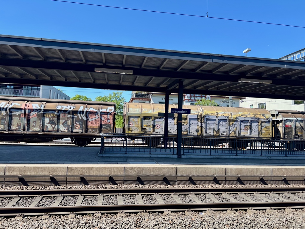
Following the canal got us all the way back to Frauenfeld and our train station home.
This was our first hike in canton Thurgau, but I don’t think it will be our last. I picked up some flyers for an art and wine hike later in the year that I hope to come back to. I would love to see the vineyards during harvest season.
Leave a Reply