
Blog Posts:
-

Hiking at Flumserberg – The Height Route (Maschgenkamm to Chrüz) + Mountain Coaster
The Height Route at Flumserberg is a short (8 km) hike that winds its way down (461 descent) from the top of the Maschgenkamm gondola station to the top of the Chrüz chair lift. At Chrüz, we rode the super-fun Floomzer mountain coaster back to Tannenboden.
-

Hiking the Trans Swiss Trail – Stage 18 Flüeli-Ranft to Stans
Stage 18 of the Trans Swiss trail is 17 km long with 520 m ascent and 80 m descent and goes from Flüeli-Ranft to Stans. On this stage, I learned a lot about Nicholas von Flüe, the patron saint of Switzerland.
-

Two Year Blogiversary
Happy two-year Blogiversary to me! It is a good time to check in on how it’s been going.
-

Hiking The Mark Twain Trail – Weggis to Rigi Kulm
The Mark Twain trail is an 11 km long theme trail with an ascent of 1361 m that takes you Weggis to the peak of Mount Rigi (Rigi Kulm). This path follows the trail taken by Mark Twain, humorously recounted in his book “A Tramp Abroad.”
-

Hiking the Trans Swiss Trail – Stage 17 Giswil to Flüeli-Ranft
Stage 17 of the Trans Swiss trail is 10 km long with 340 m ascent and 100 m descent and goes from Giswil to Flüeli-Ranft.
-
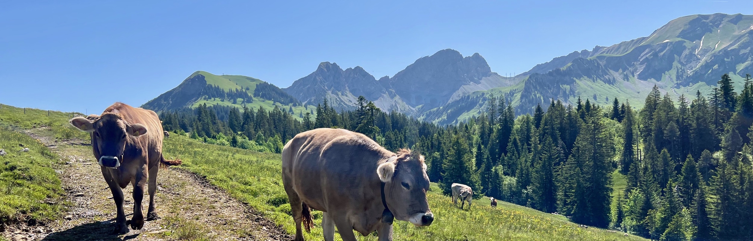
Hiking the Trans Swiss Trail – Stage 16 Sörenberg to Giswil
Stage 16 of the Trans Swiss trail is 19 km long with 700 m ascent and 1350 m descent and goes from Sörenberg to Giswil. I was excited to get to this stage because it marks the half-way point for our hike-through of the Trans Swiss Trail.
-

Rafting the Lütschine River – Interlaken
A fun and exciting white water rafting trip on the Lütschine river in Interlaken, Switzerland.
-

Hiking the Trans Swiss Trail – Stage 15 Schangnau to Sörenberg
Stage 15 of the Trans Swiss trail is 19 km long with 860 m ascent and 640 m descent and goes from Schangnau to Sörenberg.
-
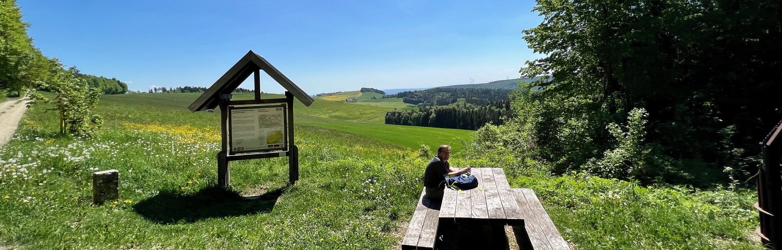
Hiking the Nordspitz Panorama Trail from Bargen
The Nordspitze Panoramweg trail (14 km, 520 ascent/descent) is a loop trail starting in Bargen that takes you past the most northern point in Switzerland. Much of the trail is along the Swiss/German border and the trail crosses over into Germany at several points.
-

Hiking at Atzmännig – The Chrüzegg Panorama Trail + Alpine Slide
The Chrüzegg Panorama trail at Atzmännig is Bergstation -> Chrüzegg -> Talstation. This 7 km trail has 190 m of ascent and, 520 m descent. It starts at the top of the chair lift and then winds its way back to the parking lot by walking along the top of the arena.
-

Hiking the Charcoal and Burbank Loop Trails at Yokun Ridge Reserve near Lenox, MA, USA
We wrapped up our time in Massachusetts on our USA trip with a hike on two trails, the Charcoal Trail (3.2 km, ascent/descent 160 m) and the Burbank Trail (5.5 km, ascent/descent 210 m, in the Yukon Ridge reserve near Lenox.
-
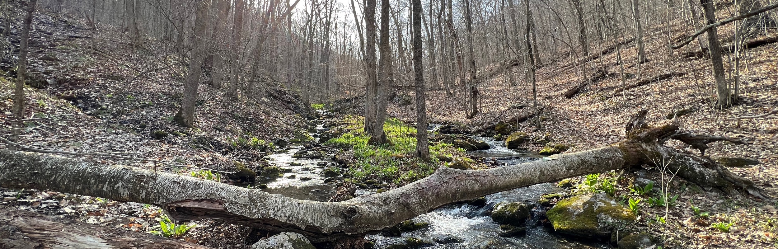
Hiking the Shaker Loop Trail near Pittsfield, MA, USA
The Shaker Loop trail is 10.5 km long with 355 m ascent and descent. This loop took us through the Pittsfield State Forest reserve and past some historical points of interest for the Shaker religious order.