
Blog Posts:
-

Hiking the Trans Swiss Trail – Stage 23 Andermatt to Passo del San Gottardo
Stage 23 of the Trans Swiss trail is 13 km long with 720 m ascent and 120 m descent and goes from Andermatt to Passo del San Gottardo (top of the Gotthard Pass).
-
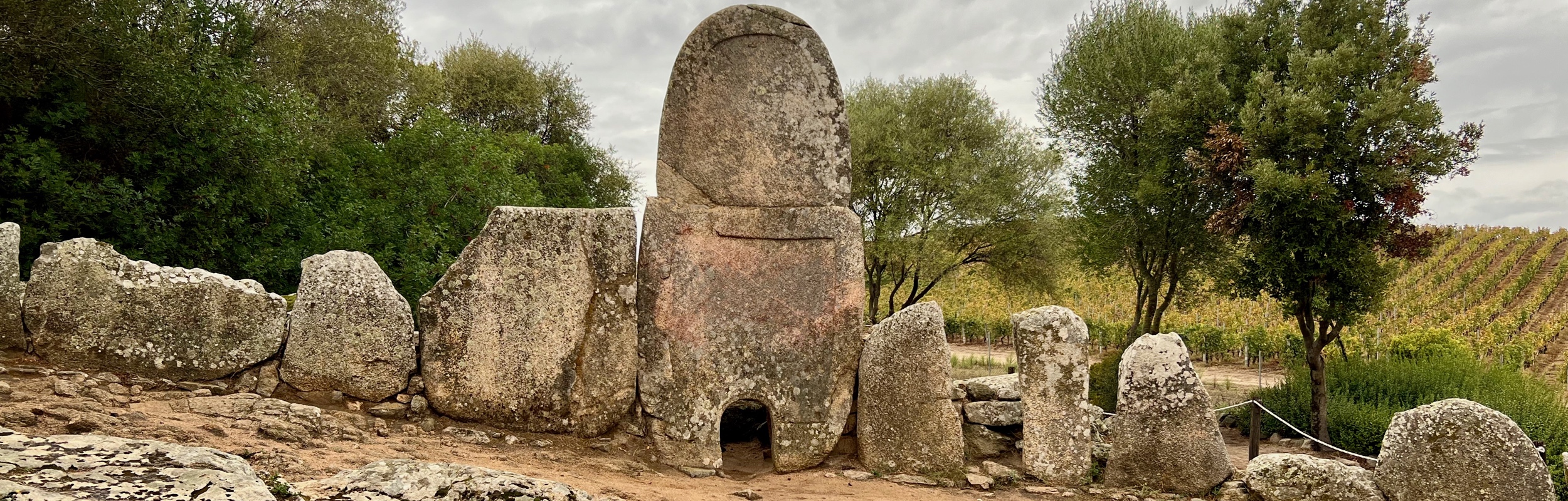
Visiting Nuraghic Archaeological Sites near Arzachena, Sardinia, Italy
On our trip to Sardinia, we spent an afternoon near the town of Arzachena visiting three archeological sites from the Nuraghic civilization, the civilization/culture that existed on Sardinia from roughly the 18th century BC to 238 BC when Sardinia was colonized by the Romans.
-
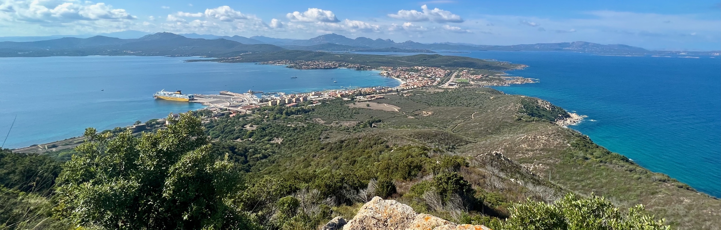
Hiking to Mount Ruju in Capo Figari Nature Park, by Golfo Aranci, Sardinia, Italy
On a recent trip to Sardinia, Italy, we spent a very lovely afternoon hiking in Capo Figari Nature Park by Golfo Aranci. We did a loop comprised of the Carbonai, Mount Ruju, and Su Canale trails, and the road Via Cala Moresca.
-

Hiking the Trans Swiss Trail – Stage 22 Wassen to Andermatt
Stage 22 of the Trans Swiss trail is 10 km long with 680 m ascent and 150 m descent and goes from Wassen to Andermatt. Along the way, the Schöllenenschlucht gorge and the Teufelsbrücke (Devil’s Bridge) were particularly dramatic.
-

Hiking the Trans Swiss Trail – Stage 21 Erstfeld to Wassen
Stage 21 of the Trans Swiss trail is 19 km long with 1000 m ascent and 540 m descent and goes from Erstfeld to Wassen.
-

Hiking the Trans Swiss Trail – Stage 20 Seelisberg to Erstfeld
Stage 20 of the Trans Swiss trail is 24 km long with 300 m ascent and 620 m descent and goes from Seelisberg to Erstfeld.
-
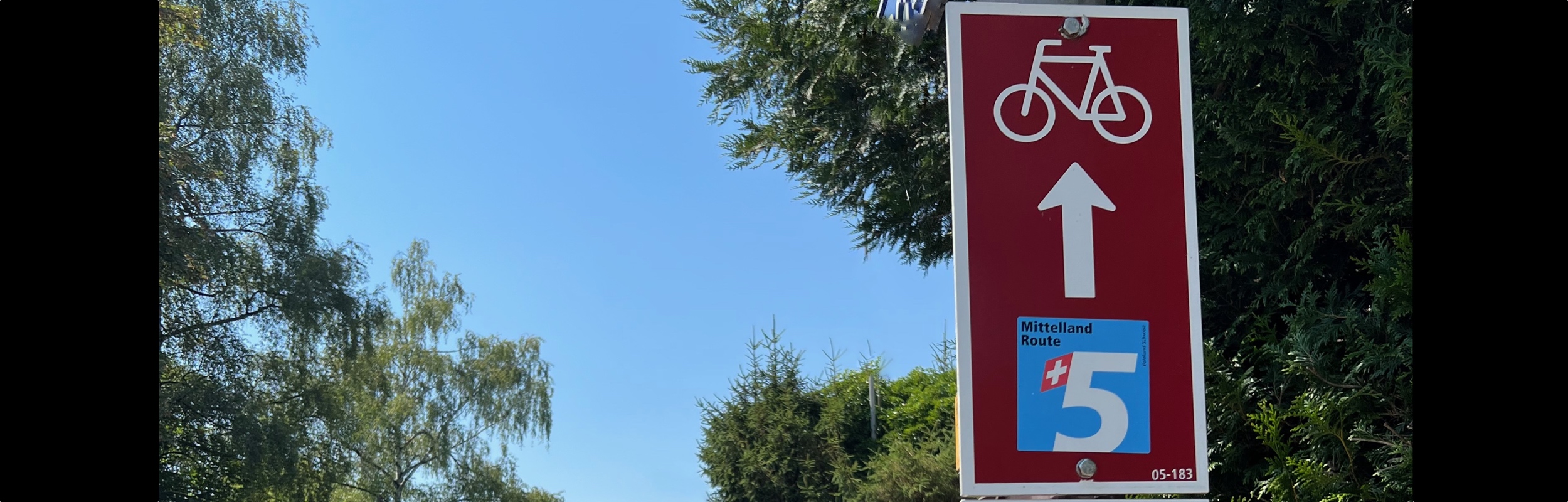
Biking the Mittelland Route: Summary
A summary of biking the complete National Bike Route Number 5 – The Mittelland Route from Romanshorn to Lausanne.
-

Biking the Mittelland Route – Stage 7 Yverdon to Lausanne
Stage 7, the last stage of the Mittelland Bike Route was 51 km and went from Yverdon to Lausanne. My least favorite stage of the trip.
-

Biking the Mittelland Route – Stage 6 Ins to Yverdon
Stage 6 of the Mittelland Bike Route was 51 km and went from Ins to Yverdon. We also stopped at the Menhires at Clendy – pre-historic standing stones, erected more than 5000 years ago.
-

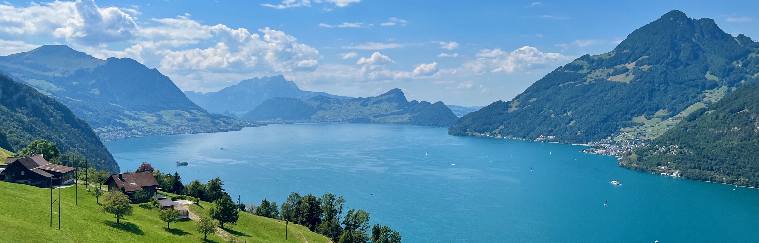
Biking the Mittelland Route – Stage 5 Solothurn to Ins
Stage 5 of the Mittelland Bike Route was 62 km and went from Solothurn to Ins. The most interesting point along the way was the Hagneck hydroelectric power plant.
-

Biking the Mittelland Route – Stage 4 Aarau to Solothurn
Stage 4 of the Mittelland Bike Route was 59 km and went from Aarau to Solothurn.
-
Hiking the Trans Swiss Trail – Stage 19 Stans to Seelisberg
Stage 19 of the Trans Swiss trail is 20 km long with 820 m ascent and 480 m descent and goes from Stans to Seelisberg. This stage includes a steep ascent through the Risleten Gorge past a really gorgeous waterfall.