Hiking the Trans Swiss Trail – Stage 10 Bern to Worb
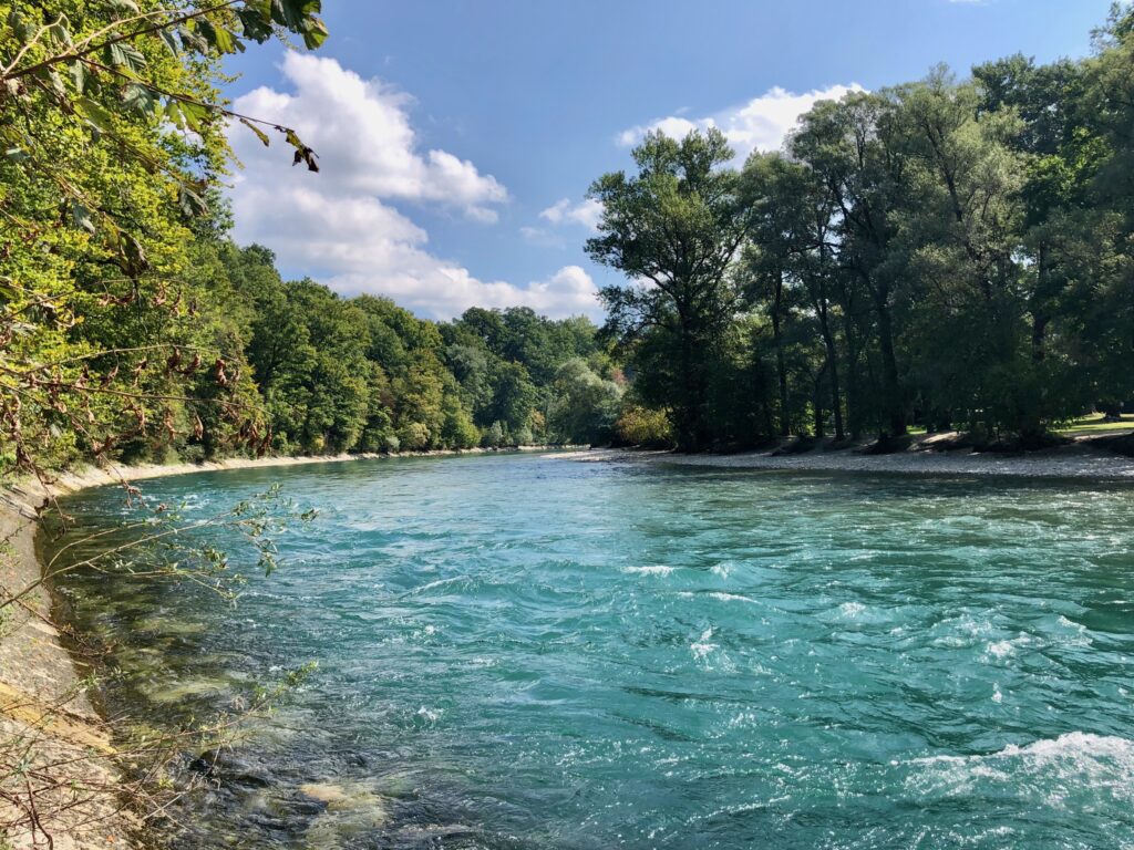
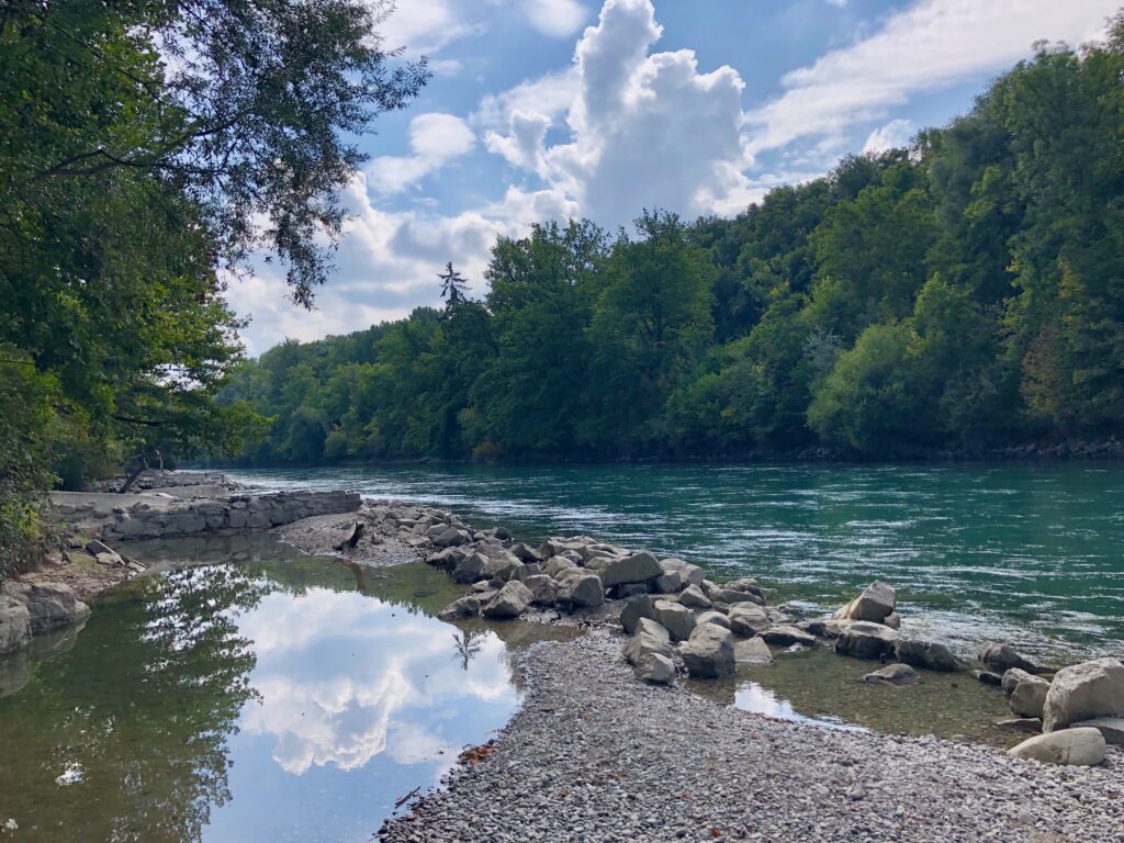
Stage 10 of the Trans Swiss trail is a 16 km hike (with 300 m ascent and 240 m descent) going from Bern to Worb. Although we could have taken a tram, we decided to also walk the extra 2 km from the main train station to the “official” start of the hike at the Bärenpark. This route took us through the old town, where we enjoyed walking the cobblestone streets and passing some of the historical sights. Once we reached the trail, the first half of the hike was along the Aare river. The Aare, with its clear blue-green water, is one of the prettiest rivers in Switzerland. The second half of the hike leaves the riverside for a walk though farmland and forest to the small town of Worb. The castle there is not open to the public, but we did get a lovely view of it from the trail.
| Where: | Bern to Worb Canton Bern, Switzerland |
| Train/Bus: | Zürich HB -> Bern – 1 hr 2 min Worb -> Zürich HB – 1 hr 46 min |
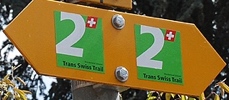
| What: | Trans Swiss Trail – Stage 10 Bern to Worb Yellow trail markers – Trans Swiss Trail Route 2 |
| Skill: | Easy – About 4 hrs Length 16 km, Ascent 300 m, Descent 240 m |
| Stage 1 – Porrentruy to St-Ursanne Stage 2 – St-Ursanne to Soubey Stage 3 – Soubey to Saignelégier Stage 4 – Saignelégier to St-Imier Stage 5 – St-Imier to Chézard-St-Martin Stage 6 – Chézard-St-Martin to Neuchâtel Stage 7 – Neuchâtel to Murten Stage 8 – Murten to Laupen Stage 9 – Laupen to Bern Stage 10 – Bern to Worb Stage 11 – Worb to Lützelflüh Stage 12 – Lützelflüh to Langnau i.E. Stage 13 – Langnau i.E. to Eggiwil Stage 14 – Eggiwil to Schangnau Stage 15 – Schangnau to Sörenberg Stage 16 – Sörenberg to Giswil Stage 17 – Giswil to Flüeli-Ranft Stage18 – Flüeli-Ranft to Stans Stage 19 – Stans to Seelisberg Stage 20 – Seelisberg to Erstfeld Stage 21 – Erstfeld to Wassen Stage 22 – Wassen to Andermatt Stage 23 – Andermatt to Passo del San Gottardo Stage 24 – Passo del San Gottardo to Airolo Stage 25 – Airolo to Osco Stage 26 – Osco to Anzonico Stage 27 – Anzonico to Biasca Stage 28 – Biasca to Bellinzona Stage 29 – Bellinzona to Tesserete Stage 30 – Tesserete to Lugano (Comano) Stage 31 – Lugano (Paradiso) to Morcote Stage 32 – Morcote to Mendriso |
Getting There
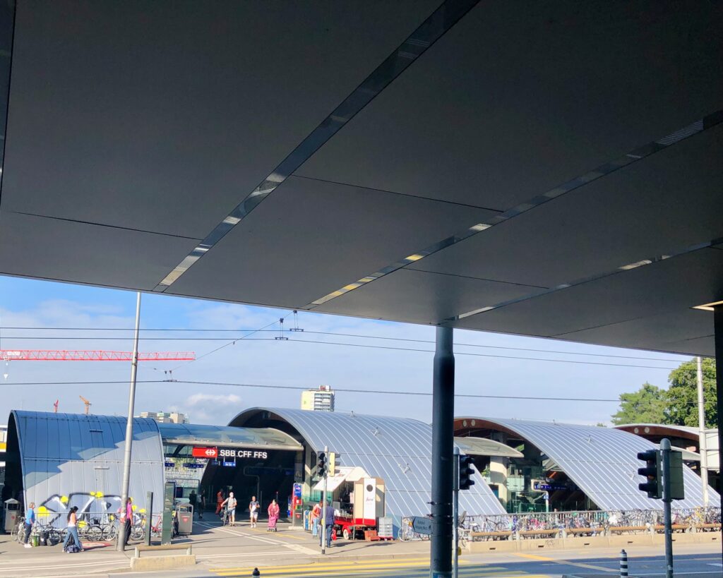
The Trans Swiss Trail is best done with public transportation as each stage starts and ends at different points. Stage 9 officially ended at the Fischermätteli tram stop with the suggestion of taking a tram across the city to the start of stage 10 at the Bärenpark. We are doing these as day hikes, and because we want to cross as much of Switzerland on foot as we can, we did the logical thing and ended stage 9 at the Bern train station. And so, that is also where we started our day for stage 10.
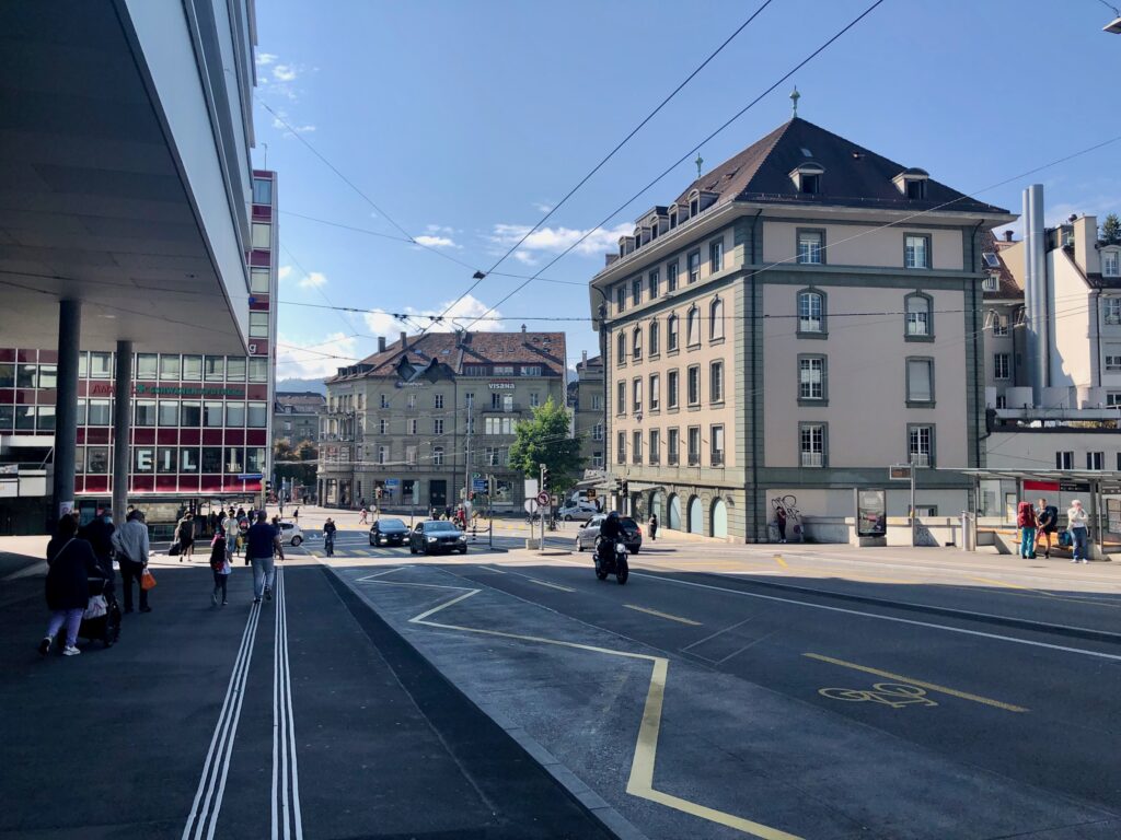
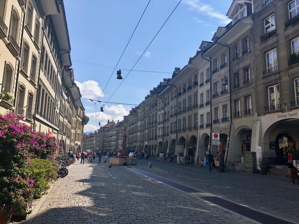
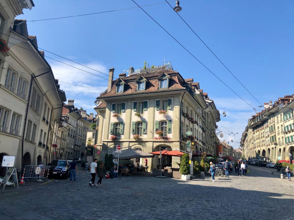
After getting to the Bern train station, to get to the Bärenpark and the start of stage 10, it is a lovely little stroll through the old town.
Stroll Through Old Town
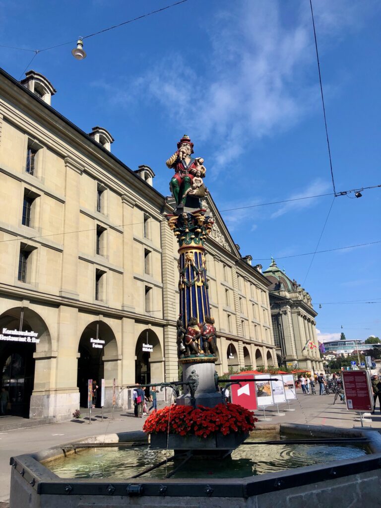
The Bern old town is really lovely and worthy of a visit on its own. There are several historical fountains along the way created by the artist Hans Gieng in 1545 – 1546. One of the strangest (and one of my favorites), is the one in the first picture – the Kindlifresserbrunnen. Also known as the child-eater, this statue is of a man (or perhaps an ogre) eating a naked baby. Next to him is a sack of several more naked babies (presumably, for snacking on later.) Although there are many theories about why this statue was created, sadly the truth has been lost to time.
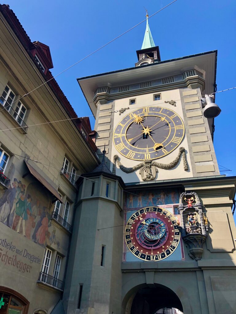
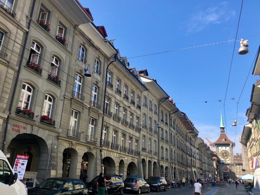
Other interesting sights in the old town, are the astronomical clock in the second picture, and the Einstein House, in the fourth picture. This is the apartment where Albert Einstein lived when he developed his theory of relativity. The apartment has been restored to period style, and is open for guided tours. It is a short tour, which includes the apartment and an exhibition room with information on Einstein’s life and his work. We did the tour a few years ago and as it isn’t very expensive (in 2021, adults 5 CHF, children 3 CHF), I would recommend it. When we reached the Aare river, I took one last picture looking back into the old town, before crossing the bridge and finding the start of our trail.
The Trail – Along the Aare
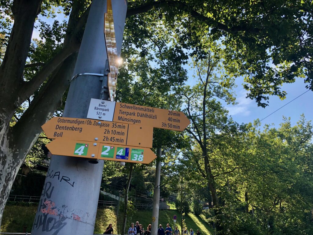
After crossing the river, we spotted our number 2 trail marker and were ready to begin the stage 10 hike.
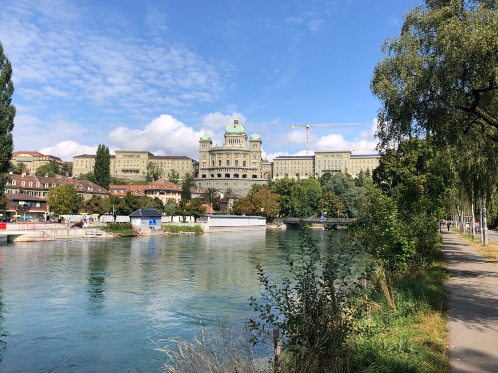
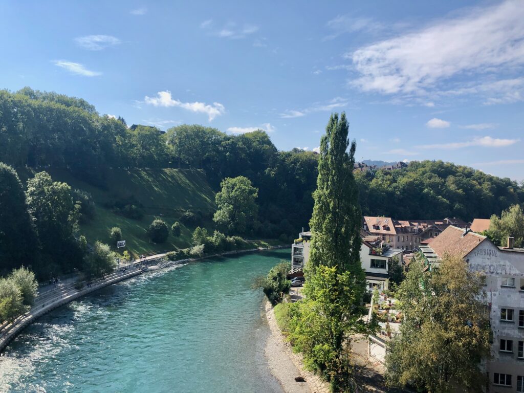
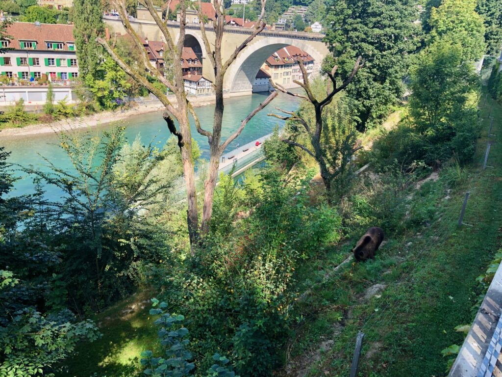
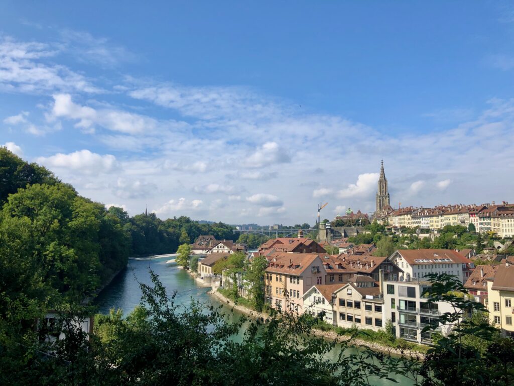
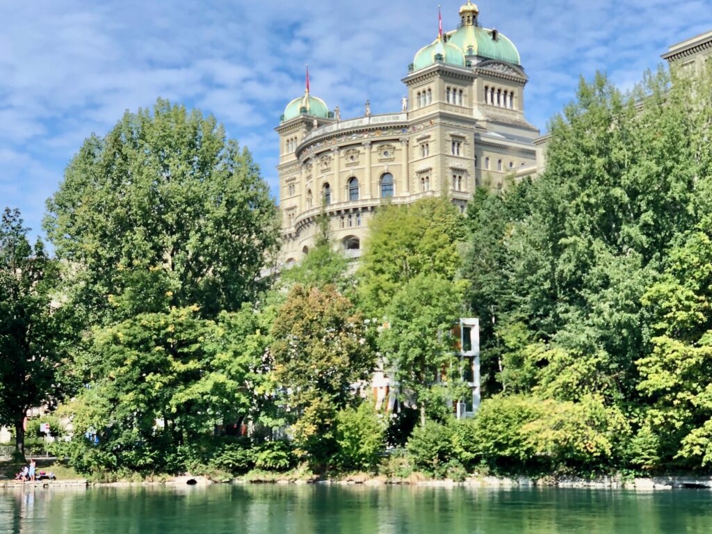
Stage 10 starts at the Bärenpark (or Bärengraben), the bear park. The bear park is exactly what is sounds like – a park with bears. The bear is the symbol of Bern and bears have been kept in Bern as tourist attractions since the 1500s. We stopped for a while to watch the bears eat their lunch before heading on our way down the trail. From the trail, we had beautiful views of the Aare river and the city of Bern, including the lovely views of the Swiss Bundeshaus (Parliament Building) in pictures three and four.
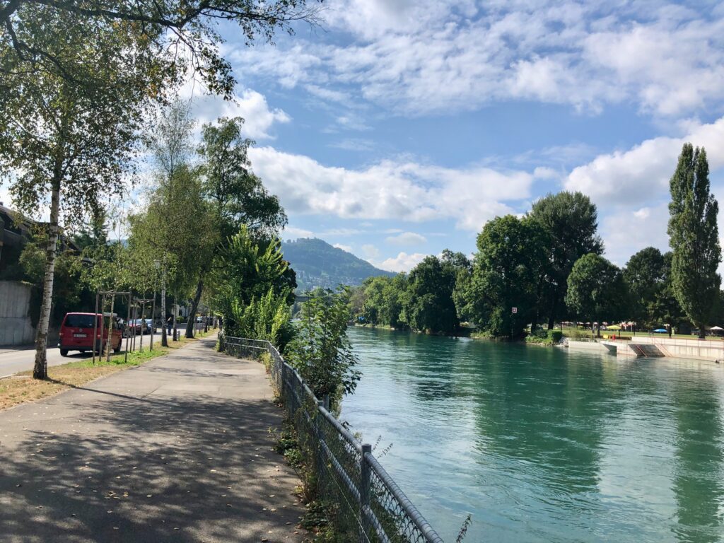
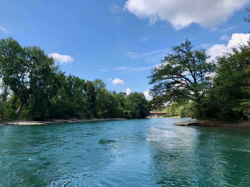
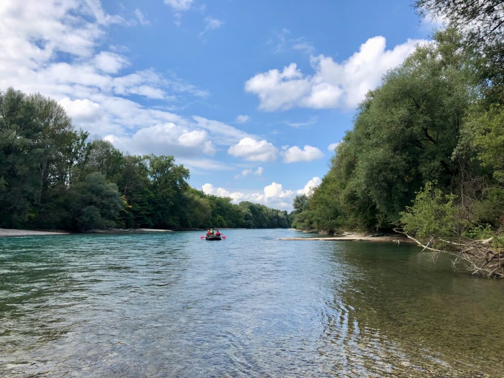
The Aare river is very popular for rafting and swimming (we rafted it last year) and in the picture above, you can see the last take-out point for rafters and swimmers before the weir. Our take-out point was further up the river, but as it really is a pretty view and we were curious about where the last take-out point was, we walked along the river to this point before going home. While there weren’t a lot of swimmers in the river today, on hot summer days, the river can be absolutely packed with people floating along.
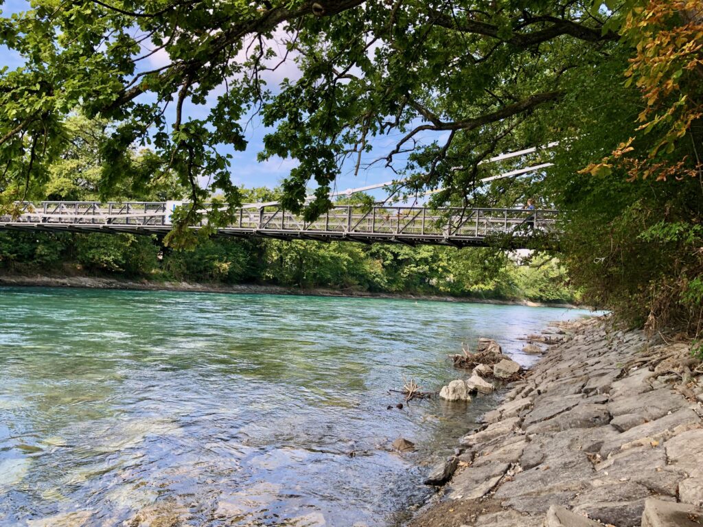
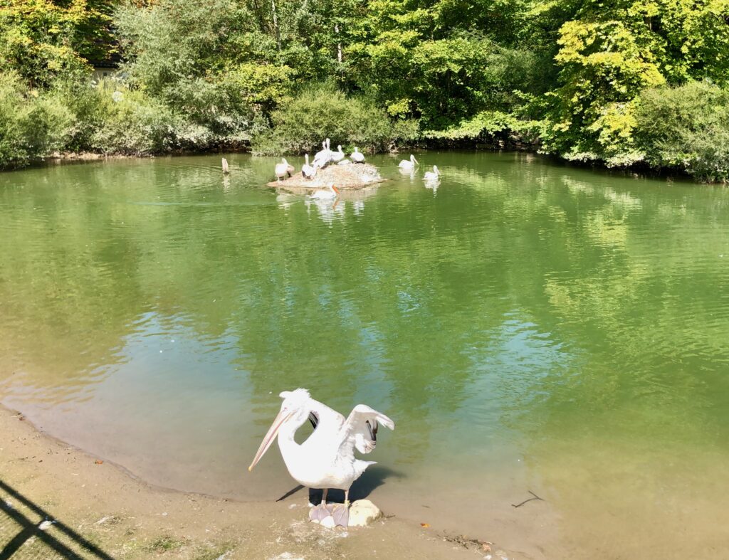
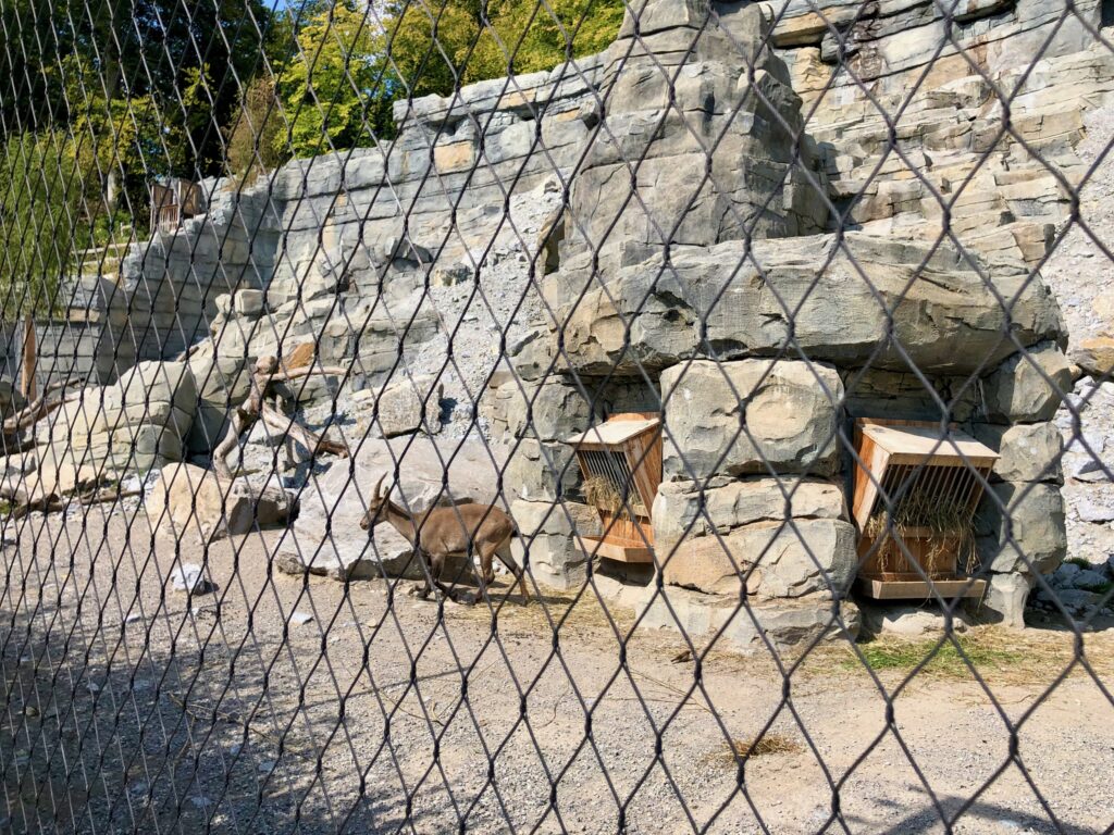
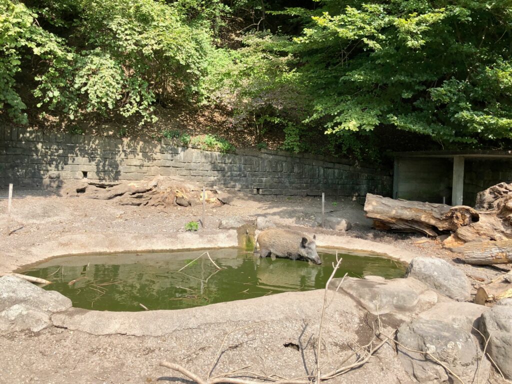
After we passed the bridge in the second picture, we stopped to sit on the banks of the river to have our picnic. After lunch, we came to the Bern Tierpark (Zoo). Here I snapped some pictures of the pelicans, ibex, and a wild boar that we could see from the trail.
Just past the Tierpark, was the take-our point we used for our rafting trip (The Eichholz Campground). You can really see what a pretty color the Aare is in these pictures.
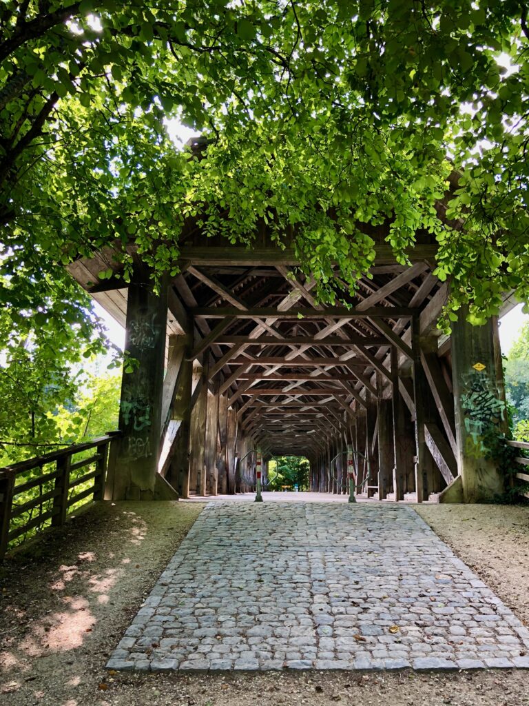
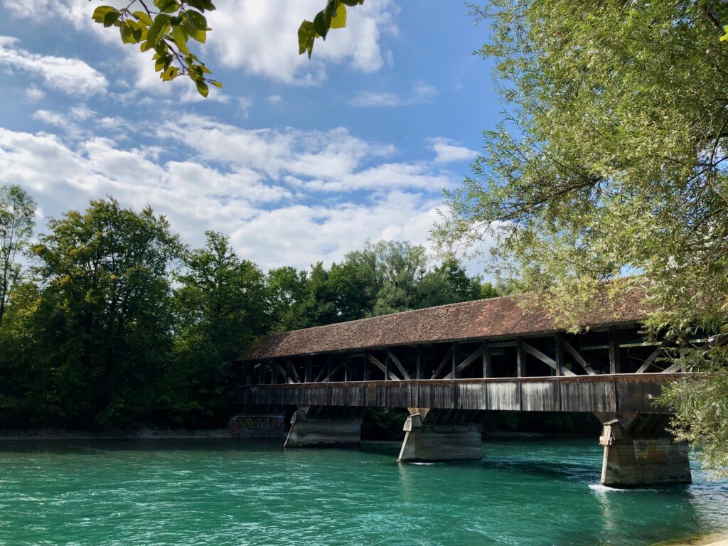
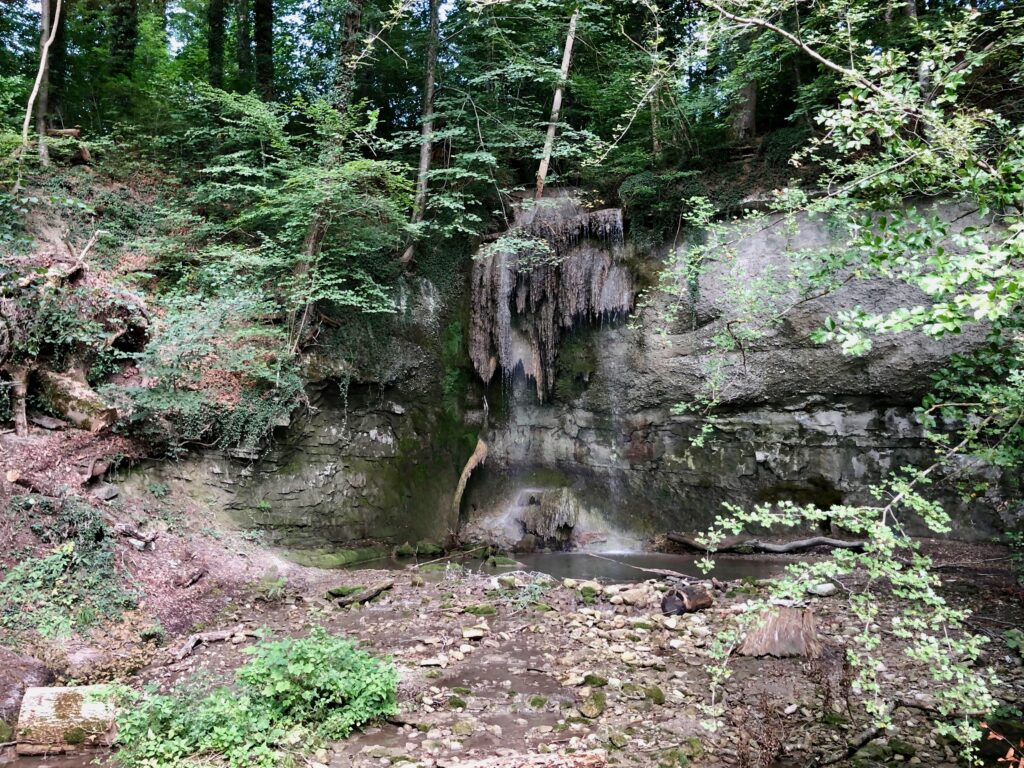
As we walked along the river, we were now seeing some of the same sights we saw when rafting, such as the covered bridge (called the Auguetbrücke) in the first two pictures below. This time though, instead of floating quickly past, we got to spend some time admiring it and to read the information sign where we learned that it was built in 1836. We also got to see some sights we didn’t get to see while rafting, like the small but enchanting waterfall of the Märchligen stream, a small tributary to the Aare, in the third picture below.
At about the halfway point in the hike, we took our last look at the river as the trail took a sharp left and headed towards Worb.
The Trail – Over the Hills to Worb
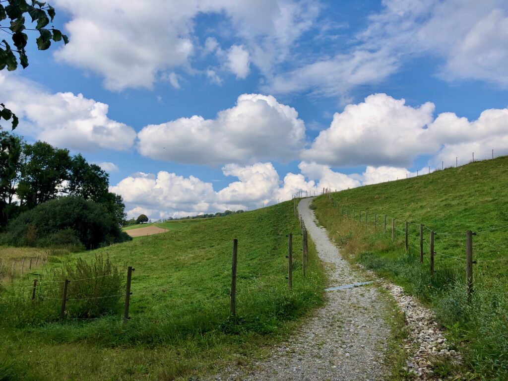
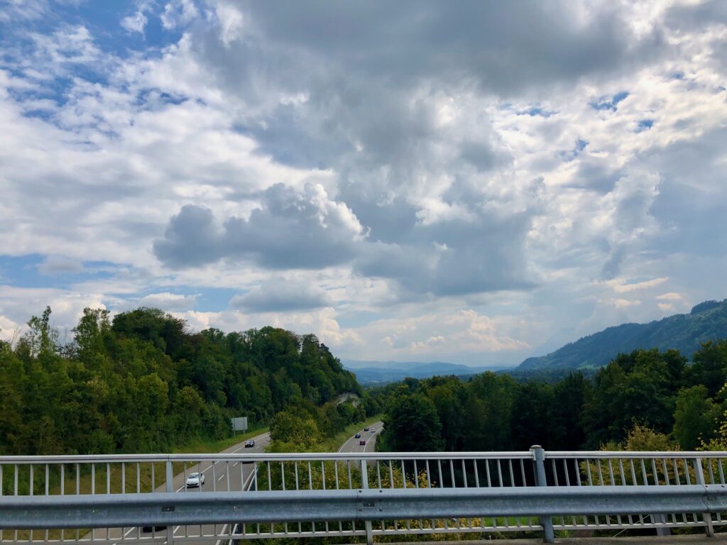
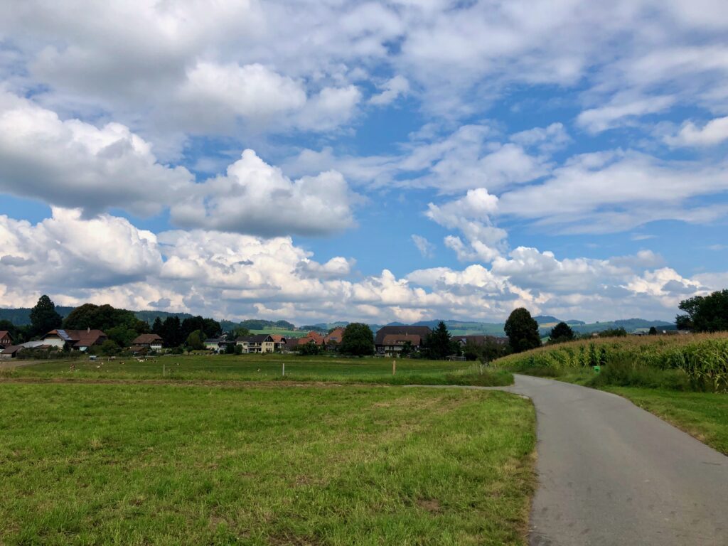
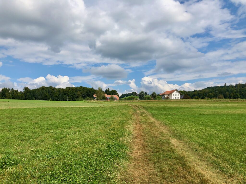
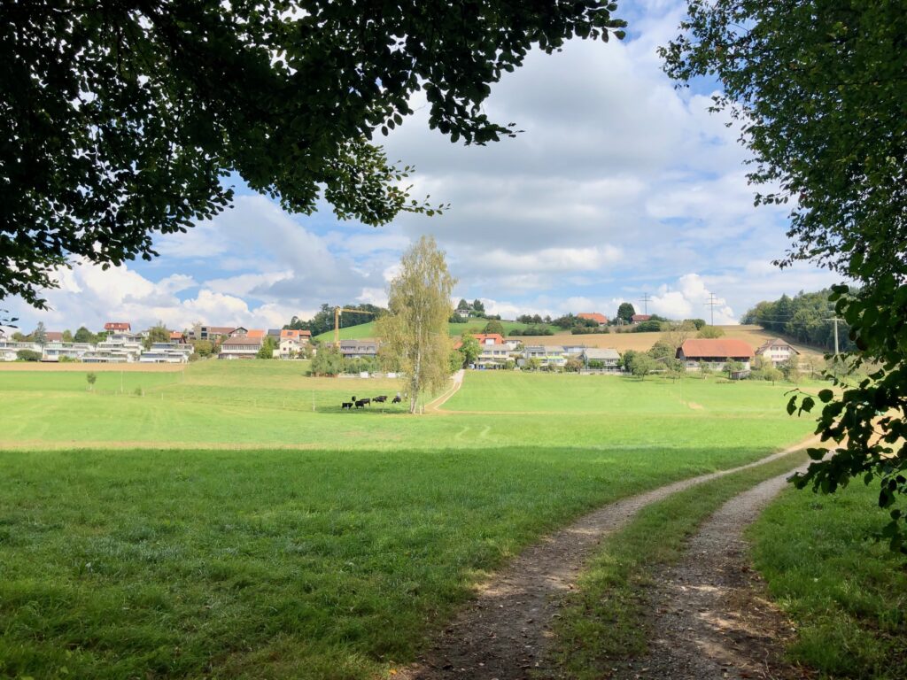
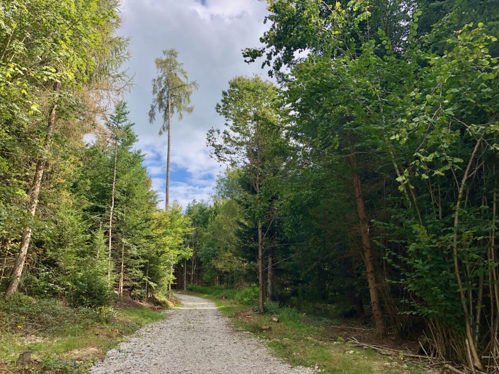
After departing the riverside, the trail heads up a hill and over the A6 highway. The trail has 300 m of ascent and almost all of it can be found on this section. But, as it is spread out over about 7 km, it is hardly arduous.
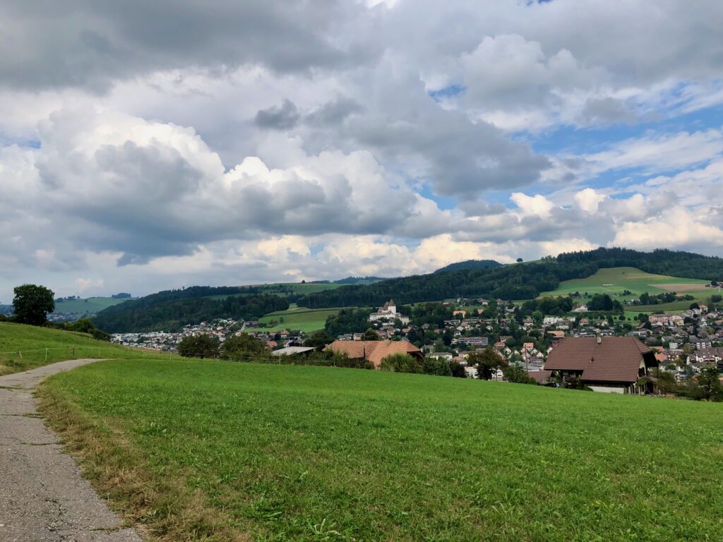
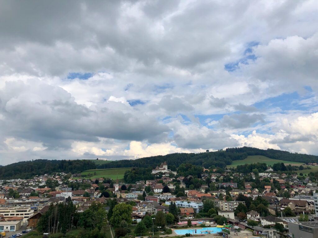
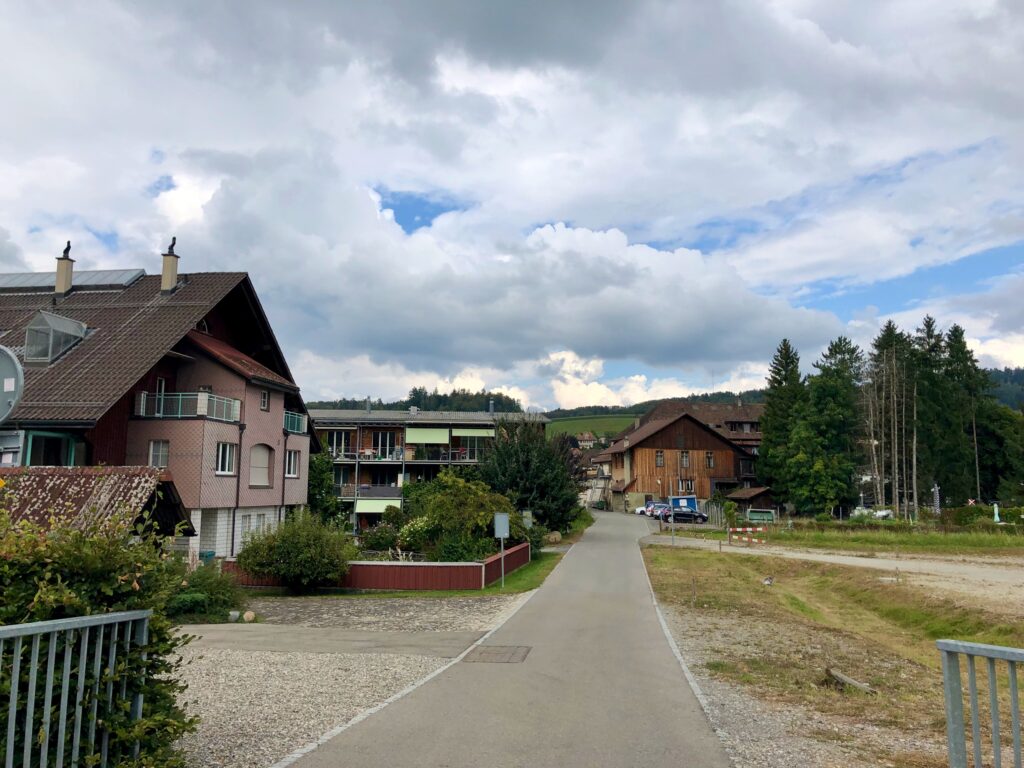
After meandering through fields and forest, we eventually came in view of the end of the trail, the town of Worb.
Worb castle (the castle in the center of the picture above), was first mentioned in 1127. While it is not open to the public, you do get a very lovely view of it from afar while on the stage 10 path.
Getting Back
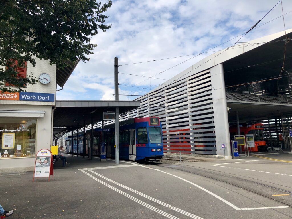
After coming down into the town of Worb, we simply walked through town to the Worb Dorf train station where we caught our train home.
Right near the train station, we spotted Gelateria Worb, a gelato and crêpe place. If it is open when we return for stage 11, I think it would be great to start our next hike with some crêpes.



Leave a Reply